CLAVA CAIRNS, INVERNESS, SCOTLAND
ANCIENT OPEN-AIR SCHOOL OF NAVIGATION
It is said that anything, no matter how complex, built in one generation, can be back-engineered, understood and re-fabricated by others in ensuing generations.
Despite this, after at least 200 years of intensive study of the Great Pyramid, archaeologists still cannot decide if it was intended to be 756' of base length per side.
They cannot explain WHY it, and hundreds of other pyramids or thousands of megalithic complexes were built across the world, or what purpose these edifices truly served.
This ongoing problem of so-called "experts," being stuck eternally in a time-warp, where they cannot answer WHY, has been of no value to the ever-expectant general public, hungry for answers for generations.
The answer as to WHY is, in fact, quite decipherable and answerable by the exacting Science of Mathematics.
Note: the intended length of the Great Pyramid had to be 756' of 12" with each inch equivalent to the modern British Standard inch!
Armed with this singular snippet of knowledge, we can now restore the entirety of the code-bearing Weights, Measures & Volume number systems, shared by many cousin civilisations of remote antiquity.
These standards contained the scientific numbers upon which the concept of CIVILISATION was founded!
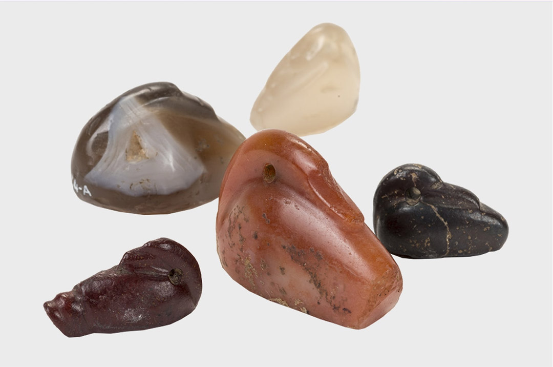
A batch of ancient Sumerian stone duck weights, carved to represent sleeping ducks. These are on display at the British Museum.
"The British Museum has in its collection a black basalt weight (exhibit 91005) made by King Nebuchadrezzar II. Its inscription certifies that it was a copy of a weight belonging to Sumerian King Shulgi (2095 - 2048 B.C.).
The weight is inscribed, 'one mina true weight' and its officially published weight is estimated to be 15100 grains"
Historical Metrologist, Donald Lenzen, who spent 10 years trying to make sense of ancient Weights, Measures and Volume standards, based upon published grain-weights, capacities and lengths, concluded the following about a weights standard, (left column), based upon official figures supplied by our experts:
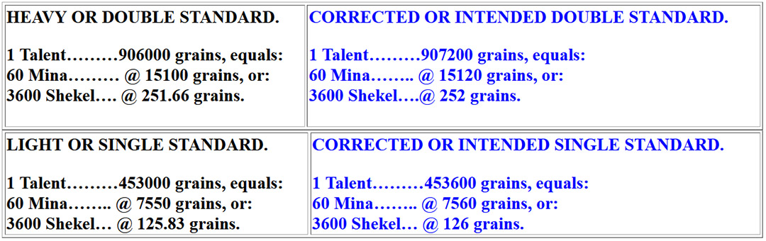
Under the ancient and modern grain weight standard, a "grain" weighs about as much as a single grain of wheat ... it would take 7000 grains to make an English Imperial pound and 15432.358 for a kilogram.
The column to the left cites the official standard that uses meaningless, non factorable numbers. The column to the right represents what the standard would actually be if it were based upon a Great Pyramid with an intended length of 756' per side. These right column numbers are very divisible and can be halved, quartered, etc., down into refined subdivisions with ease*.
*Note: If the Shekel values @ 251.66 (Heavy) & 125.83 (Light) were adjusted upwards by less than half/quarter a grain to 252 & 126 respectively, the readout would adjust up to the correct grain-weight values.
The measured distances for each side of the Great Pyramid are, according to the 2024 published figures of Glen Dash & Mark Lehner, the following:
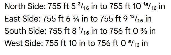
The upper limit of the statistical range (95% confidence level), the South Side and West Side could both potentially be longer than 756 feet. The maximum estimated boundaries for those two sides are 756 ft 0 ⅜ in and 756 ft 0 ⁵⁄₁₆ in respectively.
For an edifice that has endured thousands of years of sandstorms lashing particular sides and earthquakes, that finally caused the external polished-limestone sheathing to dislodge and cascade down into piles of rubble at the base, it's remarkably intact. We can reasonably accept, categorically, that the intent of the builders was to build an enduring edifice that was 756' long per side.
Now, let's look at the values listed in the right-hand column to see how they relate to the dimensions of a Great Pyramid that was intended to be 756' long.
King Nebuchadrezzar II's Heavy or Double Weights Standard.
One Talent = 907200 grains ... The sum of 756' = 9072".
One Mina = 1512 grains ... Two sides of the Great Pyramid @ 756' per side = 1512'.
One Shekel = 252 grains ... 252' X 3 = 756'. The Assyrian Cubit was 25.2" or two Greek feet of 12.6".
King Nebuchadrezzar II's Light or Single Weights Standard.
One Light Talent = 453600 grains ... 4536' X 2 = 9072' ... the length in inches of the 756' base length of the Great Pyramid
One Light Mina = 7560 grains ... and 756' is the side length of the Great Pyramid.
One Light Shekel = 126 grains ... and 126 X 6 = 756', the length of the Great Pyramid. Also, the Greek foot was 12.6" and the Hebrew Reed was 126" (10 Greek feet of 12.6").
THE "WHY" OF CLAVA CAIRNS
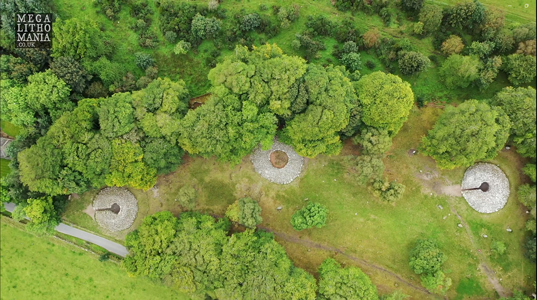
The 3 large cairns of the Clava archaeological site, Inverness, Scotland.
The centre cairn without an entry path is the hub or fulcrum position for hundreds of purpose-built structures in the outer circuiting landscape, with some sites being many miles distant. All of these outlier sites, associated with the Clava Cairns centre, are positioned at code-bearing distances and angles and represented "Islands", or destinations, for training ancient students of navigation (orienteers) in the navigational arts on land, before being entrusted with a boat at sea.
Similar "Open-Air" schools operated from Brodgar Ring in the Orkney Islands, Avebury Henge & Durrington Walls Henge in England, Newgrange Ireland, etc., including at the Cahokia Mounds of Collinsville, Illinois, USA.
See: https://www.celticnz.co.nz/Brodgar/Brodgar%201.htm ; or See: https://www.celticnz.co.nz/Cahokia/Cahokia1.htm
Each of the 3 Clava Cairns shown, is ringed by standing stones that relate, in code-bearing distance and angles, to the cairns they circuit. The site itself was a micro-school for rudimentary tutorials related to special scientific numbers, whereas the outer landscape, dotted with purpose-placed outliers for miles around, was the macro-school.
Note: All of the numbers cited in this study are drawn from the dimensions and angles of the Great Pyramid of Egypt and the Second Pyramid. The numbers were adopted anciently by many civilisations internationally in all their Weights, Measures and Volumes standards.
Although the numbers shown are given as whole numbers and decimal fractions, all the decimal tails convert to simple fractions, except for the ratios of PI (3.1416 to 1) or PHI (1.6180334 to 1).
CODES OF POSITION AT CLAVA CAIRNS SITE:
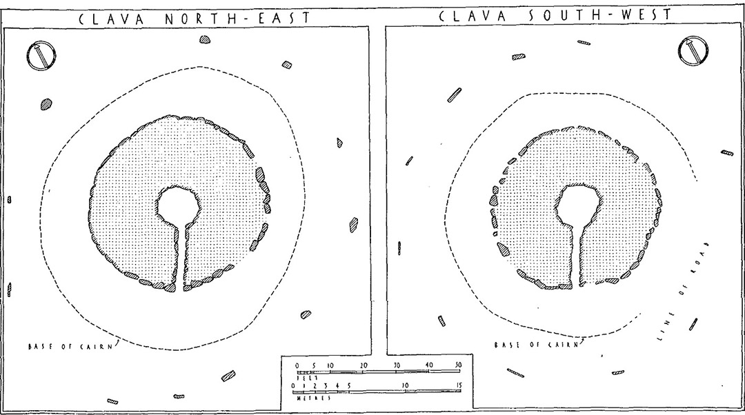
The Northeast and Southwest Clava Cairns shown in a scaled archaeological drawing by STUART PIGGOTT, B.LITT., D.LITT.HUM., F.B.A., F.S.A., F.S.A.ScoT., Professor of Prehistoric Archaeology in the University of Edinburgh.
See: EXCAVATIONS IN PASSAGE-GRAVES AND RING-CAIRNS, pp 178 - 206, with a photograph section at the end of the article...
These scaled drawings, showing the distribution of standing stones circuiting the cairns, were taken into AutoCAD, rotated to their true orientations on North according to Google Earth imagery. They were then superimposed as transparencies vertically over the Google Earth images for each cairn.
Whereas the standing stones of the Google Earth images were often hidden under trees or not sufficiently clear, Piggott's map plan identified their exact positions, making clear distance and angle measurements possible.
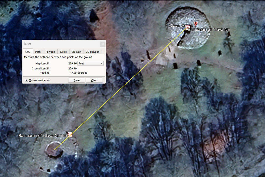
From the Clava Cairns central hub position, the centre of the NE cairn is coded to sit at a distance of 229.16666' or 229⅙ away, at an angle of 47.25°.
Although the number 229.16666' looks complex, it isn't, and is simply 229⅙ (⅓ of 687½) ... used in navigational calculations.
Note: Although the TRUE equatorial circumference is 24901-miles of 5280 feet, that number is not factorable (ie.,) able to be broken down in simple divisions. Ancient scientists/ mathematicians therefore devised navigational systems that fell slightly short of the true figure, but were factorable and easily manipulated or computed. The systems were more than adequate for precise world sailing and positional plotting.
A mathematical string based upon 229.16666' goes:
229.16666, 458.3333, 687.5 ... 1375 ... 2062.5 ... 2750 ... 3437.5 ... 4125 ... 5500 ... 6187.5 ... 8250 ... 10312.5 ... 11000 ... 16500 ... & finally all the way to 130680000' or 24750-miles of 5280' each.
Under this assignment the sum of 229.16666-miles would be 1/108th of the equatorial circumference of the Earth. Alternatively, 229.16666' X 26.4 = 6050' (1-minute of equatorial arc under this navigational method) and 229.16666' was also 1/1584th of 1° of equatorial arc.
Note: the value 26.4' is 1/200th of a mile of 5280' and 2640 X 2 = 5280 ... Also, there would be 3072 of the middle-sized Egyptian Royal Cubits of 20.625" in a mile of 5280'.
As we proceed all of this will become much clearer. These ancient number strings had high divisibility with their factors and divisors, based upon highly composite mathematical strings.
With regards to the degree angle from the centre Cairn to the NE Cairn, the degree angle is 47.25°.
A mathematical progression based upon 47.25 goes:
47.25, 94.5, 141.75, 189, 236.25, 283.5, 330.75, 378, 425.25, 472.5 ... 708.75 ... 756
The increment, 41.25' X 15 = 708.75' (the base length of the 2nd Pyramid, which was a pyramid of the Moon, encoding all the pertinent cycle codes of the Moon as well as 3-4-5 triangle geometry.
The increment 41.25' X 16 = 756' (the base length of the Great Pyramid) which was the ancient (Bureau of Standards) calculator for determining the equatorial circumference of the Earth and its divisions for navigational purposes.
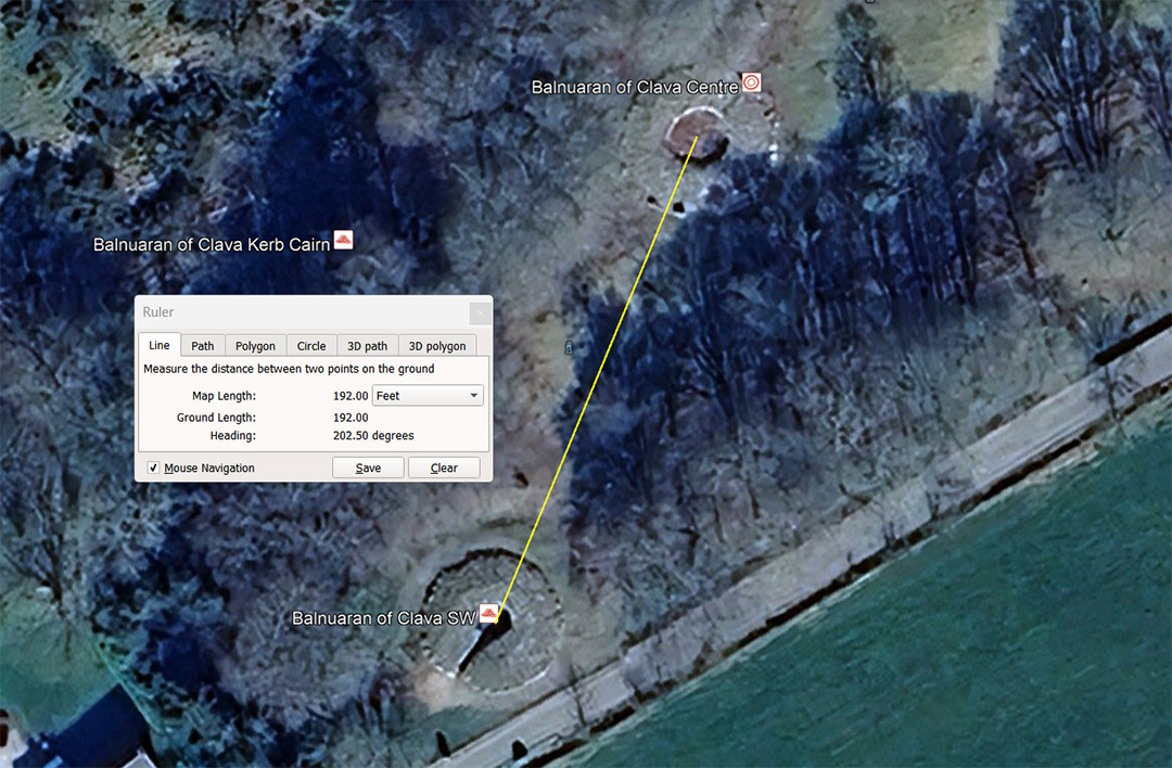
From the Clava Cairns central hub position, the centre of the SW cairn is coded to sit at a distance of 192' away, at an angle of 202.5° (return angle 22.5° or 1/16th of 360°).
A mathematical progression based upon 192' goes:
192, 384, 576, 768, 960, 1152, 1344, 1536, 1728, 1920, 2112, 2304 ... 5184 ... 6912 ... 10368 ... 13824 ... 15552 ... 31104 ... 46656 ... 62208 ... 77760 ... 93312 ... 124416 ... 233280 ... 248832 ... 130636800
This string of numbers generates the literal navigational system encoded into the base length of the Great Pyramid (756'), which configured the Earth (using highly factorable, divisible numbers) to have an equatorial circumference of 24883.2 miles of 5250' or 12 X 12 X 12 X 12 X 1.2 miles or 130636800'.
Several more navigational systems, used by cousin nations and based upon readings of the Great Pyramid's dimensions, will be identified as we proceed.
The 22.5° angle is, of course, 1/16th of 360°.
THE POSITIONS OF THE CIRCUITING, STANDING STONE OUTLIERS FOR EACH CAIRN
Due to the Google Earth over flight imagery of the Clava Cairns site being set into a forest, trees often encroach over and obscure the positions of standing stones, thus hiding them from view. In order to accurately log those standing stone positions, Stuart Piggott's scaled, drawn plan for each of the 3 large cairns, as well as their circuiting standing stones, had to be accurately superimposed over the Google Earth imagery.
CLAVA CAIRN CENTRE
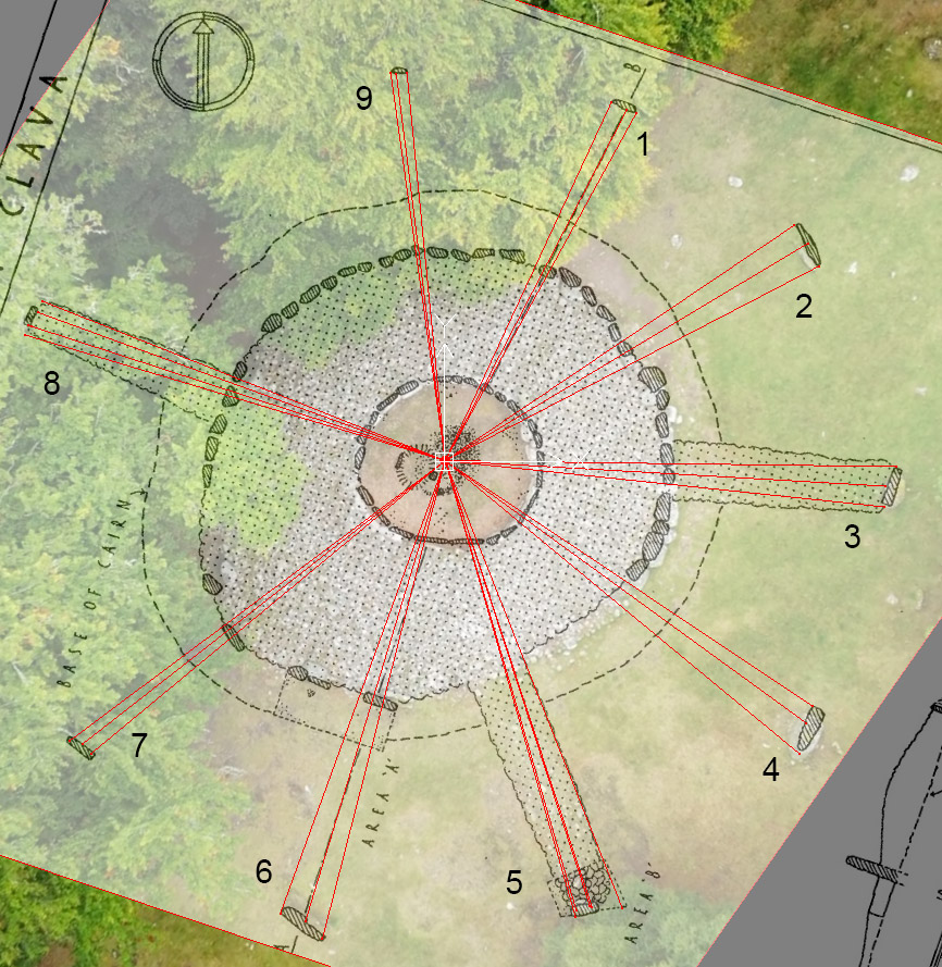
The central or hub position of Clava cairns, as well as for associated structures in the outer landscape, some of which are many miles distant, but linked by distance and angle codes to the central Clava cairn.
Here are the distance and angle results, from a special parcel of scientific numbers, that the architects of the site would have sought to encode into each standing stone position:
1. 47.25' @ 24.8832°, 47.25' @ 27.36° (207.36° return), 47.52' @ 28.8°.
2. 50.4' @ 56°, 50.625' @ 59.0625°, 50.4' @ 62.5°.
3. 54' @ 90.75°, 52.8' @ 93.312°, 52.8' @ 96°.
4. 52.8' @ 123.75°, 53.333' @ 126°, 55' @ 129.6°.
5. 57.6' @ 158.4°, 56.25' @ 161.80339°, 56' @ 162°, 56' @ 163.75° (343.75° return), 56.7' @ 164.0625° (half value of 328.125).
6. 59.0625' @ 194.4°, 57.6' @ 196.875°, 57.6' @ 200°.
7. 55' @ 230.4°, 55' @ 232° (52° return), 56' @ 233.28°.
8. 52.5', 286.666° (106.666° return), 52.5' @ 288°, 51.84' @ 290° (110° return), 51.84' @ 291.6°.
9. 46.875' @ 352°, 46.656' @ 352.8° (172.8° return), 46.656' @ 354.375°.
Going clockwise:
47.25' @ 24.8832°
The distance from the cairn centre to the left side of the outlier is 47.25' @ the intended code-bearing angle of 24.8832°.*
*Note: The 24.8832 number could not be marked into standing stone positions with that degree of visual acuity or precision, but was memorised beforehand by the tutors and identified as intended by a close-measurement reading.
A number string based upon 47.25 goes:
47.25, 94.5, 141.75, 189, 236.25, 283.5, 330.75, 378, 425.25, 472.5 ... 567 ... 708.75, 756 ... 850.5 ... 1134, 1181.25 ... 1152 ... 1417.5 ... 1701 ... 2126.25 ... 2268 ... 2362.5 ... 2551.5 ... 2835 ... 3024 ... 3402 ... 3543.75 ... 4536 ... 4725 ... 5103 ... 5670 ... 5906.25 ... 6048 ... 6804 ... 7680 ... 362880 ... 130636800.
This string generates lunar and navigational numbers encoded into the base dimensions of the Great Pyramid of Egypt, as well as the Second or Khafre Pyramid (a pyramid of the moon). In fact, 47.25' X 16 = 756' (the length of the Great Pyramid), whereas 47.25 X 15 = 708.75 (the length of the Khafre Pyramid).
This is how one locates the lunar numbers of the second pyramid mathematically and recognises them, by first going back to the Giza Plateau Bureau of Standards:
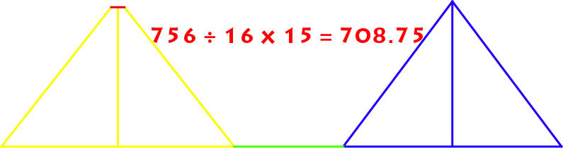
The Khafre Pyramid of the Giza Plateau (blue) is 15/16ths the base length of the Great Pyramid (yellow). Therefore: 756' ÷ 16 = 47.25' X 15 = 708.75'. Half of the Khafre Pyramid's base length is 354.375' and the length of the lunar year (about 11-days shorter than the solar year) is 354.375-days.
The centre of the Ring o' Brodgar (the hub of yet another sprawling school of navigation in the Orkney's) sits at an azimuth angle of 35.4375-degrees (35⁷⁄₁₆) from the "V" trough between the two large hills at Hoy Island (Ward & Cuilags). This "V" trough also marks the position of the setting sun at the Winter Solstice, as viewed from the centre of Ring o' Brodgar.
1. Whereas the Great Pyramid, in its base length and slope angle (51.84°), accentuates the mathematical principles related to the size of the Earth and how to grid reference the Earth for successful navigation, the second pyramid (Khafre Pyramid) is all about the Moon.
2. The Khafre Pyramid has a design slope angle of 53.13010235° and this angle occurs naturally in all 3-4-5 triangles. Therefore, half the base length is 354.375' (lunar year coding), the vertical height was designed to be 472.5' (1⅓ lunar years coding), and the length of the sloping face was designed to be 590.625' (1⅔ lunar years coding).
3. With each base side length of the pyramid equating to 708.75', a full circumnavigation was 2835' or 34020". This value gave mnemonic reference to the 6804-day lunar nutation cycle, the half value of which was 3402-days.
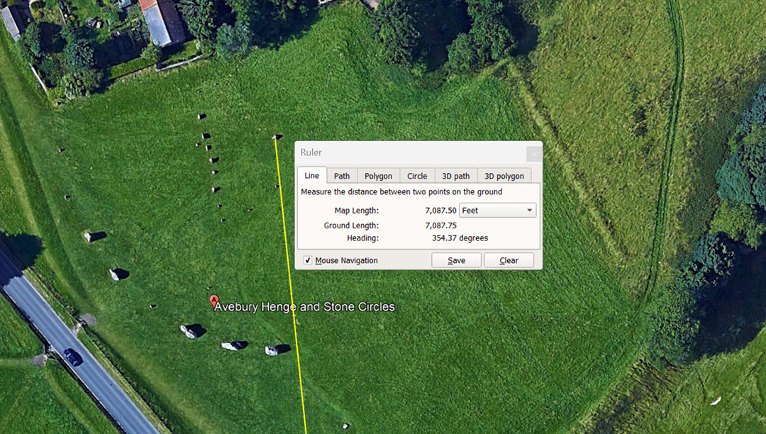
The very important codes related to the lunar year and Khafre Pyramid base dimensions are found in the distance and angle relationship existing between Avebury Henge's centre obelisk position and the doorway into West Kennet long barrow (Southern England). The distance was set to 7087.5' and the return angle from the doorway to the obelisk was set to 354.375-degrees.
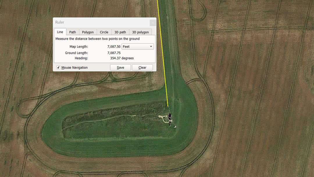
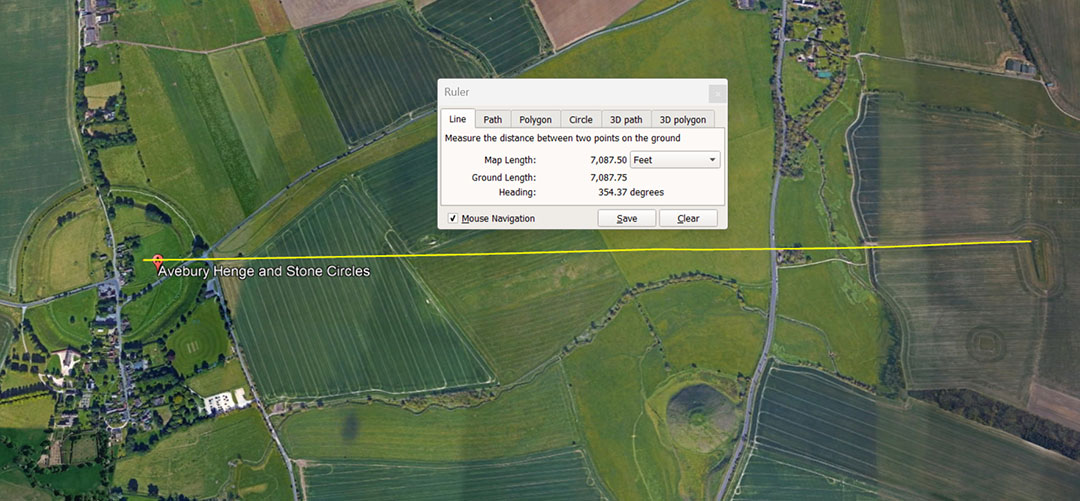
From the former 17' high obelisk at Avebury, a lunar code-bearing, surveying line was sent to the doorway into West Kennet Long barrow situated @ 7087.5' from Avebury or 10 times the length of the Khafre Pyramid of Egypt. The return angle of this line to the Avebury Obelisk was (and remains) 354.375°. Note: the lunar year is 354.375-days and the length of the Khafre Pyramid is 708.75' or 2 X 354.375'.
In the above string for 47.25, 6048' was one minute of equatorial arc for the world; 6804 (days) was the length-count duration of the Lunar Nutation cycle; 362880' was 1-degree of arc for the Earth's equatorial circumference; 130636800 was the total distance around the equator (12 X 12 X 12 X 12 X 1.2 Greek miles of 5250' each (24883.2 miles).
The degree angle code for this position was mnemonically intended to recall 24.8832 and students had to memorise this number in relation to the final Earth circumference under this navigational method.
47.25' @ 27.36° (207.36° return).
The 47.25 code has already been explained, so we can now explain the 20.736 code (20⁹²⁄₁₂₅):
A number string based upon 20.736" goes:
20.736, 41.472, 62.208, 82.944, 103.68, 124.416 ... 207.36 ... 248.832 ... 311.04 ... 518.4 ... 933.12 ... 1036.8 ... 1306.368 ... 1555.2 ... 1866.24 ... 12441.6 ... 24883.2 ... 130636800.
The longest of 3 Egyptian Royal Cubits was 20.736" (20⁹²⁄₁₂₅). It was located by careful measurement of the paving slabs at the base of the Great Pyramid as 1.728' wide or 20.736". Two other Egyptian Royal cubits found were 20.61818182" (20³⁴⁄₅₅ ...Turin Museum collection) and 20.625" (20⅝ ... found in the King's Chamber of the Great Pyramid by Sir William Flinders Petrie):
* The existence of the 20.625-inch Royal Cubit is confirmed by the careful measurements of Sir William Flinders Petrie in the King's Chamber of the Great Pyramid. Petrie concluded that the room was built according to a cubit of 20.620-inches, plus or minus .005 of an inch. The upper scale of his estimate is, therefore, 20.625-inches (see The Pyramids and Temples of Gizeh, by Sir William Flinders Petrie).
47.52' @ 28.8°
A number string based upon 47.52 goes:
47.52, 95.04, 142.56, 190.08, 237.6, 285.12 ... 712.8 ... 1188 ... 3564 ... 6082.56 ... 364953.6 ... 131383296 (24883.2 miles of 5280').
This string, based upon 47.52', generates numbers that ancient mathematicians used for calculating, as close as they could, to the TRUE size of the Earth, using factorable numbers (numbers that could be easily broken down, halved, quartered, etc., from large numbers in feet, right down to the last inch and sub-divisions thereof). They achieved an accuracy of 17.8-miles shortfall (24901-miles minus 24883.2 miles).
Note: This more accurate method, related to the true equatorial circumference of the Earth, used a mile based upon the "11" family of numbers or 5280' ... 30' longer than the Greek mile of 5250'.
Under this system, the equatorial circumference reading increased from 130636800' to 131383296'.
However, despite this reading being more accurate in describing the TRUE equatorial circumference of the Earth, it was not the most versatile or popular for day-to-day sailing and positional-plotting at sea. The 24883.2 Greek mile of 5250' or yet another system, equating to 24750-miles of 5280', were more user-friendly navigational systems, widely used by nations of the Mediterranean Basin, Continental Europeans, and British Isles, etc.
The use of the self-same numbers extended to other continents (as evidenced by the lengths and angles on structures) where these nations set up colonies ... like the Americas or across the expanse of the Pacific Ocean all the way to New Zealand at the far ends of the Earth.
Here is how all the navigational numbers were derived:
1. The literal or physical dimensions of the Great Pyramid of Egypt are: 756 feet of 12" per side length or 9072"; An Egyptian Royal Cubit was made as a 1/440th division of this length or 20.61818182" (20³⁴⁄₅₅")..
To calculate the equatorial size of the Earth, based upon this Royal Cubit, one multiplied this inch value by 1200 and read the total in miles of 5280' = 24741.818184 miles (24741⁹⁄₁₁).
However, this navigational system did not use the "11" family of miles of 5280, but the "6&7" family of numbers with miles of 5250' (a system that the fledgling Greek civilisation adopted as their mile ... or 5000 Greek feet of 12.6" each).
So, the cumbersome mile value, read under the "11" family becomes 12 X 12 X 12 X 12 X 1.2-miles or 24883.2 Greek miles when read under the "6&7" family of numbers.
The navigational increments that came with the "6&7" system were 12.6" (the foot); 5.25' (the half reed); 10.5' (the reed, also used by the Hebrews); 525' (the short Stadium or Stadia); 630' (the long Stadium or Stadia); 5250' (the mile) and the mathematics indicate that they also used 6300' during voyages at sea and probably even a "League" of 2.5 X 6300' or 15750'.
So, by configuring the Earth to be 24883.2 Greek miles in equatorial circumference, how easily could one traverse the featureless oceans?
The problem with sailing on the wind is positional plotting and dead reckoning ... knowing at all times where the ship sits in the ocean, in reference with the point of departure from a port and the angle at which the destination can be found.
A leyline to a known port or target is first calculated by way of a distance and angle. Beyond that, a navigator, under sail, is at the mercy of the prevailing or seasonally changing wind and currents. Therefore, a voyage must be done as a series of zigs & zags, back and forth across a leyline.
The navigator needs to be very experienced, constantly aware of the set of the sail, how taut it is in the wind, how high the ship is planning, indicating boat speed, as well as both the distance and angle covered in each leg. For this, various aids can be available ... like a sand clock or possibly a lodestone on a float in water, indicating an angle ... if the sea is sufficiently calm to get a reading. Beyond that is the position of the sun and moon by day and the stars and moon by night.
The main thing to always be aware of is the very close-proximity distance one has traveled over the leyline and the corrective angle back over the leyline for the next leg of the zigzag voyage.
At the termination of a leg of 5250', the straight-line distance covered has to turned into a circle on the plotting chart or slate and the circle created has to be easily divisible by 360°, showing a recognisable number for 1-degree of arc.
Under the ancient systems of navigation, different number families used very close, but slightly differing forms of PI (3.14159 to 1). For the "6&7" system the Greeks adopted, the form of PI used was 22/7 or 3.142857143. Therefore, 1 Greek mile of 5250' X 22/7ths = 16500' of circumference or 1 English league (3.125 miles of 5280') ... 16500' ÷ 360 = 45.833333' (45⁵⁄₁₆) = 550'' = 26⅔ Royal Egyptian Cubits of 20.625"*
* The existence of the 20.625-inch Royal Cubit is confirmed by the careful measurements of Sir William Flinders Petrie in the King's Chamber of the Great Pyramid. Petrie concluded that the room was built according to a cubit of 20.620-inches, plus or minus .005 of an inch. The upper scale of his estimate is, therefore, 20.625-inches (see The Pyramids and Temples of Gizeh, by Sir William Flinders Petrie)
This so-called Greek navigational system (found in the dimensions of Avebury Henge and many other sites of circa 3000 BCE) uses a variety of inter-relating measurement standards of many other ancient civilisations. For example: With 24883.2 miles of 5250' totaling 130636800' for the equatorial circumference, 1° of equatorial arc was 362880'. This 1/360th division is 210000 of the largest Egyptian Royal Cubits (20.736" or 1.728'). Therefore, 1-minute of equatorial arc would be 362880 ÷ 60 = 6048' or 3500 ERC and 1-second of arc 6048'÷ 60 = 100.8' or 58⅓ ERC of 20.736".
The 130636800' equatorial circumference can also be rendered in Egyptian Atur lengths. The formula for creating an Atur length is the Royal Cubit X 20000. Therefore 20.736" (1.728') X 20000 = 34560'. The 130636800' equatorial circumference ÷ 34560 = 3780 Atur and 1-degree of equatorial circumference arc 362880' = 10.5 Atur and 1-minute of circumference arc (6048') would be 0.175 of an Atur length.
Then there are the ancient Swedish mile and Roman mile measurements, as well as lesser divisions that interrelate / interlock with the 130636800' navigational system.
The 130636800' equatorial circumference can also be rendered in ancient Swedish Rydaholmsalm lengths.
A measurement method adopted by the ancient Swedish, used a length called a "Mil" or mile of 35000 feet. Three such Mils equated to 20-Greek miles (105000 feet or 10000 Hebrew Reeds). This same Mil was divided into 6000 "Famn", equating to an increment of 5.8333333' ... (5⁵⁄₁₆). This means that the ancient Swedish "Famn" was 70-inches or 1.2 Roman Paces of 58.33333-inches each.
There were, therefore, 7200 Roman Paces in the Swedish "Mil" or 36000 Roman feet of 11.66666 ... (11⅔"). Lesser divisions in the ancient Swedish system were the "Aln"* of 1.944444' (1¹⁷⁄₁₈') = 23.333333" (23⅓)* and the "Fot" of 11.6666666" (11⅔" ... the same as a Roman overland marching foot).
The Roman foot was found to be 11.664 inches by John Greaves, professor of geometry, who in 1639 went to Rome specifically to ascertain the length of an ancient Roman foot. Greaves located a monument of Roman architect, Stalius Asper and measured bas-relief instruments used by him in the first century A. D. Greaves concluded, after careful investigation, that the Roman foot, 'contained 1944 such parts as the English foot contains 2000'. This means a Roman foot of 11.664 inches. See: https://en.wikipedia.org/wiki/John_Greaves
Well yes, it was certainly 11.664” in mathematical progressions tracking lunar cycles or volume capacities, etc., but the simpler value of 11.66666” (11⅔") was used for overland distances, with a Pace of 58.333333” (58⅓") ... 5 Roman feet. The same foot, in doubled values, was used in Sweden for the Rydaholmsalm length (1.94444’ ... 1¹⁷⁄₁₈₅').
'The first unit of length to all parts of Sweden was the Rydaholmsalm (the length of a prototype kept in the church of Rydaholm, Smaland, now lost. It is thought to have been 0.593 m.' See: Old Swedish Units of Measurement, by Hans Hogman', http://www.hhogman.se/old-units-of-measurement-sweden.htm
At exactly .593 m., the Rydaholmsalm would translate to 1.945 feet or 23.34-inches. We can safely call this a very slightly "drifted" estimate (rounded to fit millimetres) of an increment known elsewhere as the "Aln", which was ratio-related to both the Swedish Famn and the Roman Pace (5 Roman feet or 58.33333”).The degree of error at the metric estimated .593 m is so negligible that 1.944444 feet (23 & 1/3rd inches) proves to be the intended value of the ancient Swedish Rydaholmsalm (2 Roman overland feet). There would be 2.5 Rydaholmsalm in a Roman overland Pace.
However, there were two versions of both the Roman foot (either 11.664" or 11.66666" for overland marching calculations) and the Swedish Rydaholmsalm which could also be read as 23.328" (23⁴¹⁄₁₂₅") ... or 23.33333" (23⅓"). In each case, one reading was for lunar calculations or weights and volumes determinations and the other one was very obviously for overland distances.
Other divisions of the Swedish "Mil" included the "Fjärdingsväg" (¼ of a "Mil" or 8750' ... 9000 Roman feet), the "Kabellängd" (58.33333- feet or 60 Roman-Swedish feet or 12 Roman Paces), the "Steg" (½ a "Famn" (fathom) or 35-inches) and the "Fot" (¹⁄₁₆ of a "Famn" or 11.666666-inches). The "Fot" was divided into 2 "Kvarter" (5.8333333-inches) or 12 "Tum" (also known as "Verktum".... 0.9722222222" (³⁵⁄₃₆").
The ancient Swedish Mil, equating to 35000-feet of 12", was 36000 Roman feet.'
So, the 130636800' under the Greek-mile system can also be rendered as 67200000 Swedish Rydaholmsalm of 23.328" or 1.944' or 134400000 Roman feet of 11.664" (26880000 Roman Paces of 58.32" each).
So do these half-forgotten values show up in ancient capacity standards?

Left: Historical Metrologist, Donald Lee Lenzen's estimate of the Greek Metretes liquid volume and its divisions, using the 2332.8 number. The ancient Swedish used a lesser denomination as their Rydaholmsalm @ 23.328" or 1.944'.
Right: Corrected readings so that the divisions work mathematically.
Although the Roman navigational system was in ratio with the 12 X 12 X 12 X 12 X 1.2 Greek-miles navigational method, they had a different final figure for the equatorial circumference of the Earth that was based upon their overland foot of 11.66666".
One of the more ancient concepts that survived into Mediaeval times was that 75-Roman miles was 1-degree of arc in the equatorial circumference of the Earth. Their mile was 5000 Roman feet or 4861.11111' (4861⅑') of 12-inches X 75 X 360 = 131250000 feet or 125000000 Greek feet or 135000000 Roman feet or 67500000 Swedish Rydaholmsalm or 27000 Roman miles or 3750 Swedish Mil or 25000 Greek miles.
In the 35000’ Swedish Mil there would be 10,666.6666 increments of 3.28125' (3⁹⁄₃₂') . The ancient French Pied du Roi was 1.066666’ (1¹⁄₁₅') or 12.8”.
In the Roman 131250000’ equatorial circumference reading, a length measure of 3.28125-feet (mirroring the modern metre) would be 1/40,000,000th division. A quarter of that Roman value was 1/10,000,000th of the distance, as sought-after by the French government around 1792 for their new metre rule. The actual Polar circumference is 131274860' (24860-miles of 5280' each). Therefore ¼ of that figure is 32818715' ÷ 3.28125' = 10001894'
As it turns out, the ancient 3.28125’ (39.375") measurement is considerably more accurate in describing the pole-to-equator division of the Earth than the modern metre @ 3.2808398’.
As we proceed, it will become evident that there were several navigational systems and a wide range of feet, cubits miles, leagues, etc., to choose from, fully shared and used across a widely spread confederation of cousin nations.
And What about the ancient Germans - Scandinavians?
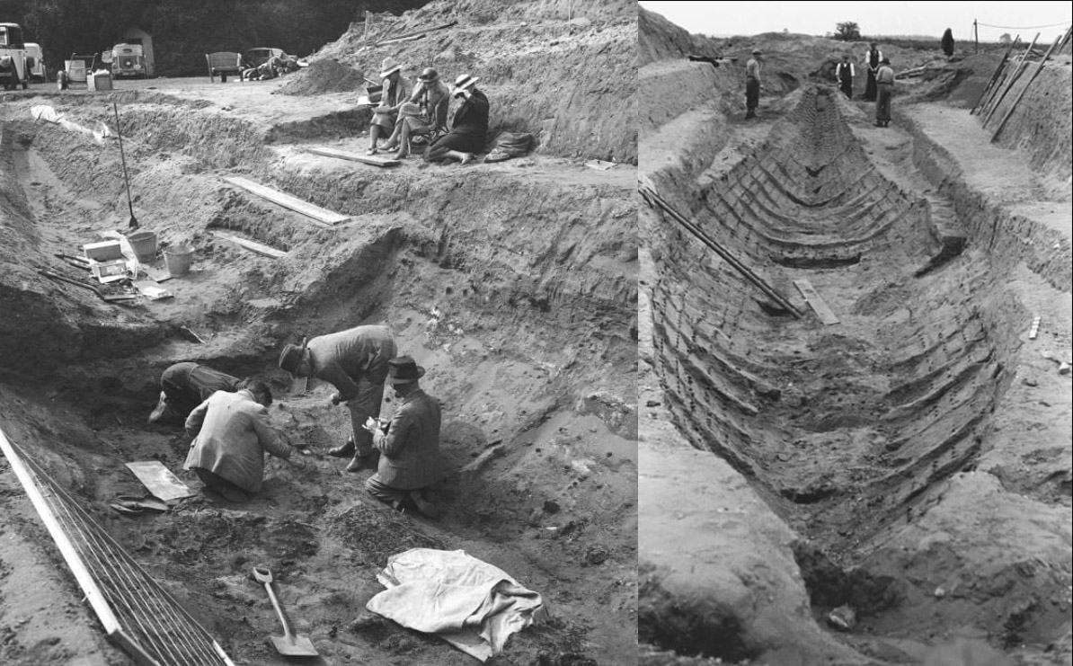
The Sutton Hoo burial ship was very carefully excavated and measured, starting in 1939. An exact replica is under construction, based upon the archaeological survey.
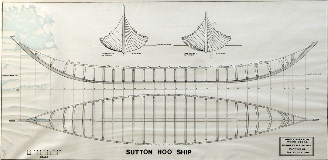
THOSE BUILDING A SUTTON HOO REPLICA BURIAL-SHIP ADMIT IT WAS BUILT ACCORDING TO IMPERIAL MEASUREMENTS:
‘Measurements of the frame positions taken from the plans showed that the average frame spacing, ignoring irregular spacing at the ends of the boat, was very close to 3 feet (2.994 ft average). This 3-foot frame spacing may be coincidental, but a review of measurements used in Saxon times for land buildings indicated that it was likely that there were two measurement systems in use at the time. One was based on a ‘rod’, which was 15 German feet long with each German foot 13.2 inches long, so the German rod was 16.5 modern feet long*. The other was based on Roman units where a ‘rod’ was 15 feet long with each foot 12 inches long, these feet and inches being the same size as modern imperial units. It therefore seems a reasonable assumption that the Roman/current imperial measurement system was used for the Sutton Hoo ship, particularly when further noting that the overall distance between the end-most frames is 75 feet or 5 ‘rods’. Also, that the average planking thickness is 1 inch based on measurements taken from plank scarf join rivets. And while it could be coincidental, it was noted that the average width of the hull planks in the mid sections is approximately 1ft.’
(See: Historic Ships, 7-8 December 2016, London, UK © 2016: The Royal Institution of Naval Architects. THE SUTTON HOO SAXON SHIP – DEVELOPMENT AND ANALYSIS OF A COMPUTER HULL MODEL PRIOR TO FULL SCALE RECONSTRUCTION, P Handley, Paul Handley Design, UK,
* Note: 16.5' was the length of the ancient English rod or perch or 3 Merchant Navy fathoms of 5.5', still in use during the 19th century. The Navy fathom was later changed by the English to 6.6'. The English "chain" was 66' and their "furlong" was 660'. The ancient English league was 16500' or 1000 rods/perches or 3.125-miles of 5280'.
The German Saxon foot was 13.2 imperial inches or 12" X 1.1. Their Meile (Mile), based upon the Saxon foot, was 24000 such feet or 26400 standard feet of 12". This equates to 5-miles of 5280. Under the 130680000' reading of the Earth's equatorial circumference, that would equate to 4950 German Meile in the 24750-miles of 5280' reading navigational method.
Although the latter Saxons were not strictly Scandinavian, they shared a close ancestral and geographical overlap with early Scandinavian populations, hence shared measurement standards.
The degree angle given for the right hand side of outlier standing stone 1 at Clava's centre cairn is 28.8°
A number string based upon 28.8 goes:
28.8, 57.6, 86.4, 115.2, 144, 172.8, 201.6, 230.4, 259.2, 288, 316.8, 345.6 ... 403.2, 432, ... 518.4 ... 576, 604.8, 633.6 ... 691.2, 720 ... 777.6, 806.4 ... 950.4 ... 1008, 1036.8 ... 1209.6 ... 1296 ... 1382.4 ... 1555.2, 1584 ... 1728 1900.8 ... 2073.6 ... 2016 ... 2332.8 ... 2592 ... 2851.2, 2880 ... 3024... 3110.4 ... 3600, 3628.8 ... 3888 ... 4147.2 ... 5040 ...5184 ... 6048 ... 362880 ... 130636800
2016' would be ⅓ of 1-minute of equatorial circumference of the Earth arc, with 4032' & 6048' being 2/3rds and a full minute of arc. The number 362880' is 1° of arc and 130636800' is the full circumference of the Earth under this navigational system (24883.2 Greek miles). The number 69.12-miles would be 1° of equatorial arc and 777.6-miles would be 1/32nd of the Earth's equatorial circumference, etc. The value 1008 features in the string and 100.8'was 1-second of arc under this navigational method.
So let's continue to extract all the special numbers that students of navigation had to learn on the Clava Cairns site.
2. 50.4' @ 56°, 50.625' @ 59.0625°, 50.4' @ 62.5°.
50.4' @ 56°
Going clockwise
A number string based upon 50.4 goes:
50.4, 100.8, 151.2, 201.6, 252, 302.4 ... 403.2, 453.6, 504, 604.8 ... 756, 907.2 ...1008 ... 1260 ... 1360.8... 1512 ... 2016 ... 2268 ... 2520 ... 2721.6 ... 3024 ... 3628.8 ... 3780 ... 4032 ... 4536 ... 5040 ... 5443.2 ... 6048 ... 6300 ... 6804 ... 7560 ... 9072 ... 11340 ... 12096 ... 12600 ... 13608 ... 362880 ... 130636800
In the above lineup 100.8' is 1-second of equatorial arc with 2016', 4032' and 6048' respectively being 1/3rd, 2/3rds and a full minute of arc, with 362880 being a full degree of arc. 756', 1512', 2268' and 3024' are side values for 1, 2, 3, & 4 sides in a circumnavigation of the Great Pyramid. Two circumnavigations is 6048' or 1-minute of equatorial arc for the Earth . A length of 9072" is the inch value for 1-side of the Great Pyramid.
The value 6804 appears and, in days, was the duration of the Lunar Nutation cycle. The height of 453.6' was the vertical height of the Great Pyramid to its flat floor top (it was always a truncated pyramid) ... 264 of the smallest Egyptian Royal cubits @ 20.61818182" (20²⁄₁₁). There would be 800 X 11.34" in the 756' length of the Great Pyramid.
The 56° angle provides the following string:
56, 112, 168, 224, 280, 336 ... 504, 560 ... 672, 728 ... 840 ... 1008 ... 1344, 1400 ... 1512 ... 1792 ... 2016 ... 2240 ...2520 ... 2688 ... 3024 ... 4032 ... 4200 ... 4536 ... 5376 ... 6048 ... 7000 ... 7168 ... 7560 ... 9072 ... 362880 ... 130636800.
In the English weights system, 112 pounds was a cwt (hundredweight) and 2240 pounds was a ton. Again we have 1008, and 100.8' was a second of equatorial arc, whereas 2016', 4032' & 6048' were, respectively, 1/3rd, 2/3rds and a full minute of arc. There are 168-hours in a week. The string goes on to generate 1° of equatorial arc (362880') and the full circumference of the Earth (130636800') under this navigational system.
50.625' @ 59.0625°
A number string starting with 50.625 goes:
50.625, 101.25, 151.875, 202.5, 253.125, 303.75, 354.375, 405 ... 506.25 ... 607.5 ... 708.75 ... 810 ... 1215 ... 1417.5 ... 1620 ...1771.875 ... 2025 ... 2126.25 ... 2430 ... 2835 ... 3240 ... 3543.75 ... 3645 ... 4252.5 ... 4860 ... 8505 ...
This string generates many lunar numbers leading up to 4860', which was the lunar rendering of the Roman mile of 5000 X 11.664" (the Roman foot). It also identifies values associated with the lunar Nutation cycle at higher denominations.In the string are seen the side values for the Khafre Pyramid (a pyramid of the moon): 708.75', 1417.5, 2126.25' & 2835', respectively. The number 354.375' (in days) is the lunar year and 354.375' is half of 708.75', the length of 1-side of the Khafre Pyramid. The sum of 50.625-days would be 1/7th of the lunar year.
The 59.0625° generates the following string:
59.0625, 118.125, 236.25, 295.3125, 354.375 ... 472.5 ... 590.625 ... 708.75 ... 945 ... 1417.5 ... 1890 ... 2126.25 ... 2835 ... 3780 ... 4725 ... 5670 ... 362880 ... 130636800.
This degree angle generates all the essential numbers for tracking the lunar year and the dimensions of the Khafre Pyramid of Egypt (a pyramid of the moon). In the lineup the values of 1° of equatorial circumference arc are generated, as well as 360°.
The sum of 118.125-days would be 4 lunar months of 29.53125-days; The lunar year (354.375-days) is generated alongside half the lunar year (177.1875-days); the lengths 708.75', 1417.5', 2126.25' & 2835' give the increasing perimeter values as one circumnavigates the Khafre Pyramid for all 4 sides.
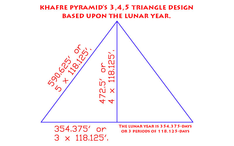
The Khafre Pyramid was built as two back-to-back 3, 4, 5 triangles, based upon increases of 4 lunar months (118.125-days).
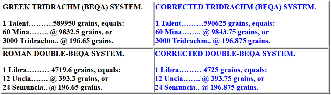
Left: Historical Metrologist, Donald Lee Lenzen's estimate of the Greek Tridrachm (Beqa) grain-weights. Right: Corrected readings so that the divisions work mathematically.
In the above panels are numbers associated with the Khafre Pyramid's design dimensions (472.5' height & 590.625' diagonal side length). Also, mathematically perfect lunar-year and month divisions occur within the Beqa grain-weight system.
50.4' @ 62.5°.
The right hand side of outlier 2 standing stone complies to 50.4' and a string based upon 50.4 has already been covered for stone 1, left side.
The angle to the right side complies to 62.5 50.4' @ 62.5° and a string of 62.5 generates the following numbers:
62.5, 125, 187.5, 250, 312.5, 375, 437.5, 500, 562.5, 625, 687.5, 750, 812.5, 875, 937.5, 1000, 1062.5, 1125 ... 13125 ... 1375 ... 1500 ... 1687.5, 1750 ... 2062.5 ... 2250 ... 2625 ... 2750 ... 3000 ... 36000 ... 363000 ... 130680000
This string generates numbers that work within the 24750-miles (of 5280') navigational method, with 1° of equatorial arc at 363000' and the full distance around the equator set at 130680000'
Numbers one would associate with the 360° compass, in enlarged, denominations, like 1125, 2250 4500, 9000, 18000, also occur. Other numbers that found their way into Weights, Measures & Volume standards. Based upon older precedents, the English ton was 2240 pounds (lbs) or 20 hundredweight (cwt) of 112 lbs each. In the English pound weight there are 16 ounces of 437.5 grains each or 7000 grains total. In the English stone weight there are 224 ounces.
The sum of 62.5 is simply 1/16th of 1000.
3. 54' @ 90.75°, 52.8' @ 93.312°, 52.8' @ 96°.
54' @ 90.75°
A string based upon the number 54 goes:
54, 108, 162, 216, 270, 324, 378, 432, 486, 540, 594, 648 ... 756 ... 864 ... 972 ... 1080, 1134, 1188 ... 1296, 1350 ... 1458, 1512 ... 1728, 1782 ... 1890, 1944 ... 2160 ... 2268 ... 2430 ... 2592 ... 2700 ... 2916, 2970, 3024 ... 3402 ... 3456 ... 3888 ... 4050 ... 4536 ... 4752 ... 5130, 5184 ... 5400 ... 5670 ... 5832 ... 5940 ... 6048 ... 6534 ... 6804 ... 6912 ... 7290 ... 7776 ... 9072 ... 9450 ... 362880 ... 130636800
This is one of the most dynamic strings in usage by ancient mathematicians/ savants/ astronomers/ navigators. It provides all the side-length value increases for the Great Pyramid, 756', 1512', 2268' & 3024'. It goes on to identify two circumnavigations of the Great Pyramid as 6048' (1-minute of equatorial arc), as well as 1° of arc (362880') and the full Earth equatorial circumference under this system of navigation. It also identifies numbers related to the 6804-day Lunar Nutation Cycle ... 3402-days (1/2), 5130-days (3/4th) & the full duration of 6804-days. Several other numbers related to exact divisions of the Earth ... like 777.6 (miles) = 1/32nd of the equatorial circumference under this navigational system (130636800' or 24883.2 miles of 5250'). The value 9072" relates to the inch length for 1-side of the Great Pyramid (756' or 440 Egyptian Royal cubits of 20.61818182" (as in the Turin Museum collection).
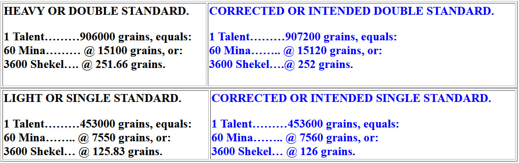
Left: Historical Metrologist, Donald Lee Lenzen's estimate of Nebuchadrezzar II's black basalt, double and single standard grain weights. Right: Corrected readings so that the divisions work mathematically.
But now let's discuss a small variation on that number.
90.75°
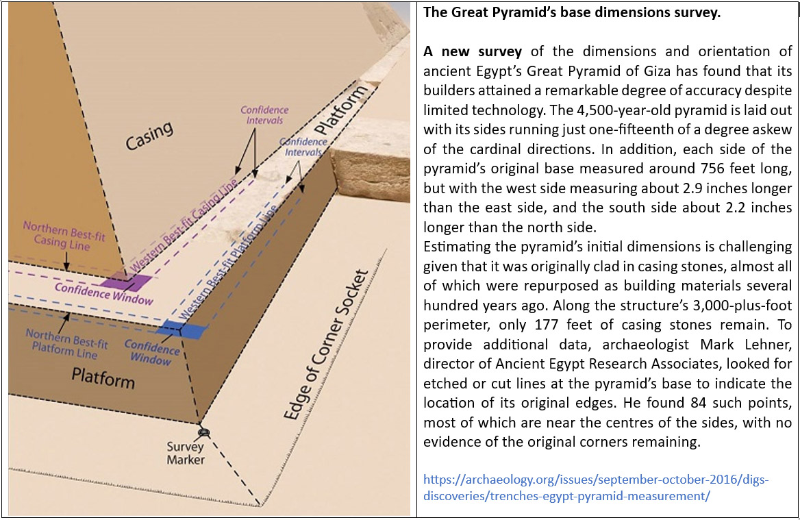
The Great Pyramid has endured for many thousands of years, through abrasive sand storms, heat and pillaging of its casing stones to build mosques and bridges , etc., for the city of Cairo. The exacting science of mathematics dictates that it was intended by its builders to literally achieve 756' in base length per side.
However, a code-bearing incised mark at a corner, where the casing stones met the platform stone base, might have allowed the length (symbolically) to be read at 756.25', so that it could encode yet another well-known, navigational reading of the Earth's equatorial circumference.
The angle to the right-hand side of Stone 3, from the centre cairn at Clava, can be read as 90.72° or 90.75° ... for the following reason:
If The Great Pyramid's length for one side was increased by 3" (symbolically or by a mark incised into the platform), then the inch value for a side jumps from 9072" to 9075". The 9072" (756') length provides a very useful concept of the equatorial circumference of the world, for navigation, using the "6&7" family of numbers. However, by symbolically elongating the Great Pyramid to 9075", a whole new navigational system, based upon the "11" family of numbers, comes into play. This mere 3" of extra length means that one can use a mile of 5280' or 30' longer than the 5250' so-called Greek mile.
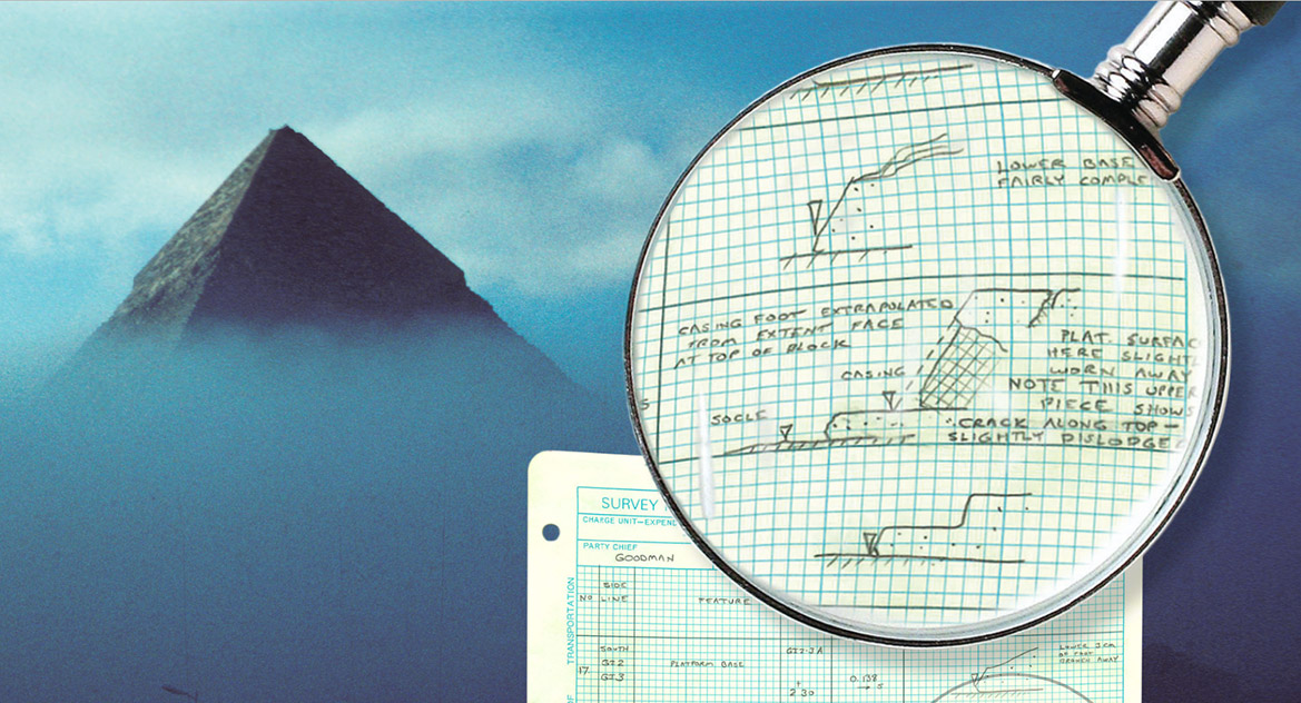
An excerpt from archaeologist Mark Lehner's field notes, showing the difficulty in determining where the once pristine limestone casing stone's, base edges, now very worn with most missing, would have met the platform.
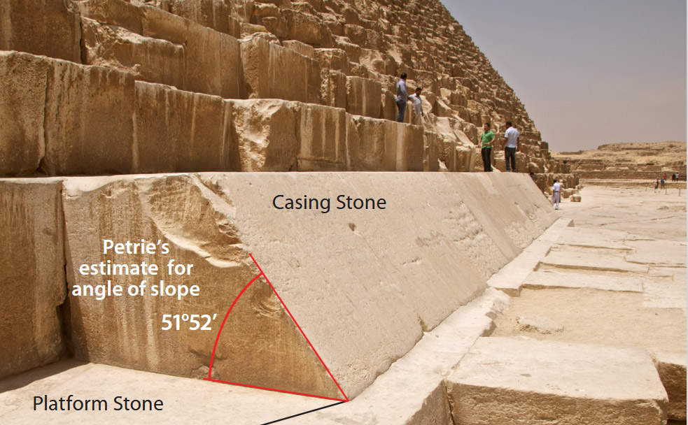
There appears to have been ample room on the platform stone-surround to have marked a 3" symbolic elongation to the pyramid's length, thus introducing an alternative navigational system using the 5280' mile.
Under this new system 6048' (8 side lengths of the Great Pyramid @ 756'per side) signifying 1-minute of equatorial arc, jumps to 6050'. Likewise, 362880' for 1° of equatorial arc jumps to 363000' and 130636800' for the full equatorial circumference of the Earth jumps to 130680000' or 24750-miles of 5280'.
A mathematical progression or string based upon 90.75" goes:
90.75, 181.5, 272.25, 363, 453.75, 544.5, 635.25, 726, 816.75, 90.75 ... 363000 ... 130680000.
A more useful way to layout this string is to use the foot value of 756.25':
756.25, 1512.5, 2268.75, 3025 ... 4537.5 ... 6050 ... 9075 ... 12100 ... 18150 ... 21175 ... 24200 ... 30250 ... 33275 ... 36300 ... 60500 ... 90750 ... 96800 ... 130680000.
Again, to create an Egyptian Royal Cubit to divide this side length, the formula is 9075" ÷ 440 = 20.625" (20⅝") . Then, to use this ERC for mnemonic recall of the equatorial circumference of the Earth, multiply by 1200 and read the result as miles of 5280', thus: 20.625 X 1200 = 24750-miles or 130680000'.
Now one can navigate using "11 "family increment: 7.92" (the link), 5.5' (the ancient Merchant Navy fathom), 16.5' (the rod or perch ... 3 Merchant Navy fathoms), 66' (the chain), 660' (the furlong or furrowlong), 5280' (the mile), 16500' (the league ... 3.125-miles).
52.8' @ 93.312°
A mathematical progression or string based upon 52.8 goes:
52.8, 105.6, 158.4, 211.2, 264, 316.8 ... 475.2, 528 ... 633.6 ... 792 ... 9504 ... 1056 ... 1320 ... 1900.8 ...2736 ... 2640 ... 2851.2 ... 3960 ... 4752 ... 5280 ... 6600 ... 7128 ... 7920 ... 10137.6 ... 11880 ... 165000 ...363000 ... 130680000,
This string shows increases of the value 52.8 all the way up to a reading of the equatorial circumference of the Earth of 130680000' (24750-miles of 5280'). In the string 3960-miles represents the radius of the Earth and 7920-miles the diameter.
93.312°
A mathematical progression based upon 93.312 goes:
93.312, 186.624, 279.936, 373.248, 466.56, 559.872, 653.184 ... 933.12 ... 13063.68 ... 2332.8 ... 4665.6 ... 653184 ... 186624... 933120 ...130636800.
The sum of 933120' equals 1/140th of the 130636800' equatorial circumference of the Earth and this length can be read as 480000 Swedish Rydaholmsalm of 1.944' (23.328"). In a second version of the Rydaholmsalm for readings of overland distances as 23.33333" (1.944444') the 933120 value jumped slightly to 933333'.333333 or 480000 X 1.9444444 would equal 26 & 2/3rds Swedish miles of 35000' (of 12") or 960000 Roman overland feet of 11.666666".
The sum of 933120' also encodes the ancient Sumerian/ Babylonian Royal Double Standard Talent which was 933120 grains, whereas their Babylonian Light Talent was half that @ 466560-grains.
In the above lineup the number 653184 occurs and this value X 200 = the equatorial circumference under the 130636800' (24883.2 Greek mile reading of the equatorial circumference).
So, once again, is this navigational method shown to have existed by ancient weight's standards?
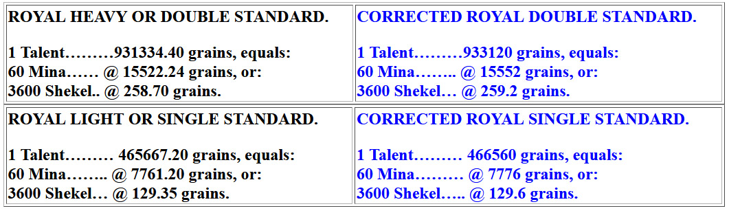
Left: Historical Metrologist, Donald Lee Lenzen's estimate of the Sumerian/Babylonian ancient Royal Heavy, Double & Single, Standard Talent weights. Right: Corrected readings so that the divisions work mathematically.
96°
A mathematical progression based upon 96 goes:
96, 192, 288, 384, 480, 576, 672, 768, 864, 960, 1056, 1152, 1248, 1344, 1440, 1536 ... 1728 ... 2016, 2112 ... 2304, 2400 ... 2592, 2688 ... 2880 ... 3168 ... 3360, 3456 ... 4032 ... 4320 ... 4608 ... 5184 ... 5280 ... 6048 ... 6336 ... 6720 ... 6912 ... 7200 ... 7776 ... 9504 ... 10080 ... 10368 ... 10560 ... 12000, 12096 ... 12960 ... 13824 ... 15552 ... 15480 ... 19008 ... 362880 ... 130636800.
Again, a dynamic string, leading up to identifying the equatorial circumference of the Earth, with 2016', 4032' & 6048' respectively, being 1/3rd, 2/3rds and a full minute of equatorial arc, dispersed throughout are divisions of the earth's circumference, like 3456, 7776 or 15552, etc. There's the value for 1° of equatorial arc. The number 1036.8 tells us the MPH spin of the Earth in 24-hours, based upon an Earth 24883.2 miles in circumference.
4. 52.8' @ 123.75°, 53.333' @ 126°, 55' @ 129.6°.
We've dealt with 52.8 so will go to the degree angle of 123.75°
A mathematical progression based upon 123.75 goes:
123.75, 247.5, 371.25, 495, 618.75, 742.5, 866.25, 990 ... 1485 ... 1980 ... 2475 ... 2970 ... 3465 ... 3960 ... 5940 ... 7425 ... 7920 ... 8910 ... 9900 ... 11880 ... 12375 ... 14850 ... 15840 ... 17820 ... 23760 ... 24750 ... 130680000.
This is a navigational string based upon an equatorial circumference of 24750-miles of 5280' each.
53.33333'
A mathematical progression based upon 53.33333' (53⅓) goes:
53.33333, 106.66666, 213.33333, 266.66666, 320, 373.33333, 466.66666, 480 ... 640, ... 800 ... 960 ... 1120 ... 1280 ... 1440 ... 1600 ... 10666.6666.
The value, 1.06666666' was the ancient French Pied du Roi, still in use in France (despite metrification) in many provinces into the 19th century. It's a resolving number that can be applied to many standard increments. For example, the 24750- mile equatorial circumference (130680000') would be 122512500 Pied du Roi or 122512.5 French Lieue (leagues) or the 130636800' reading would be 122472000 Pied du Roi or 12247.2 Lieue.
Also, 53.333333' would be 1/99th of a mile of 5280'.
126°
A mathematical progression based upon 126 goes:
126, 252, 378, 504, 630, 756 ... 1008, 1134, 1260 ... 1512 ... 1890, 2016 ... 2268 ... 2520 ... 3024, 3150 ... 3402 ... 3654, 3780 ... 4032 ... 4536 ... 5670 ... 6048 ... 6300 ... 6804 ... 9072 ... 9450 ... 12096 ... 13608 ... 17010 ... 34020 ... 51300 ... 68040 ... 362880 ... 130636800.
This progression generates numbers applicable to the Great Pyramid's side-length increases when circumnavigating its perimeter, with 756', 1512' 2268' & 3024' respectively ... going to 6048' for 1-minute of equatorial arc, then a degree of arc @ 362880' and the 130636800' equatorial circumference of the Earth.
It also generates values for the 6804-day Lunar Nutation cycle.
55'
A mathematical progression based upon 55 goes:
55, 110, 165, 220, 275, 330, 385, 440, 495, 550, 605, 660 ... 770, 825, 880 ... 990 ... 1100, 1155, 1210 ... 1320, 1375 ... 1485 ... 1650 ... 1760 ... 1980 ... 2200 ... 2475 ... 2640 ... 2750 ...2970 ... 3025 ... 3520 ... 3630 ... 3960 ... 4125 ... 5280 ... 5500 ... 5940 ... 6050 ... 6600 ... 6875 ... 7040 ... 7920 ... 8250 ... 8800 ... 8910 ... 9075 ... 9900 ... 10560 ... 11000 ... 11880 ... 13200 ... 363000 ... 24750 ... 130680000.
This string uses the "11" family of numbers and a mile of 5280' (English) or 5940' (Scottish) for navigational increments leading up to a 24750-mile equatorial circumference.
129.6°
A mathematical progression based upon 129.6 goes:
129.6, 259.2, 388.8, 518.4, 648, 777.6, 907.2, 1036.8, 1166.4, 1296 ... 1555.2 ... 1944, 2073.6 ... 2332.8 ... 2592, 2721.6, 2851.2 ... 3110.4, 3240... 3628.8 ... 3888 ... 4147.2 ... 4536, 4665.6 ... 5184 ... 5443.2 ... 5832 ... 6220.8 ... 6480 ... 7128 ... 7776 ... 8294.4 ... 9072 ... 9331.2 ... 9720 ... 10368 ... 11664 ... 12441.6 ... 12960 ... 13608 ... 15552 ...16200 ...18662.4 ... 19440 ... 20736 ... 23328 ... 24883.2 ... 362880 ... 130636800.
This is a power-packed string producing an array of very important numbers related to the 1/2 & full duration of the Precession of the Equinoxes (12960 & 25920-years respectively); the divisions of 1/32nd (777.6-miles); 1/16th (1555.2-miles); 1/8th (3110.4 -miles); 1/4th (6220.8-miles); 1/2 (12441.6-miles); and the full circumference of the Earth (under this navigational method) of 24883.2 miles of 5250' (Greek miles).
Also featured are the values for 1° of equatorial arc (362880'); the height of the Great Pyramid to the top of its flat floor altar or viewing position @ 453.6' (264 Egyptian Royal Cubits of 20.61818182 ... 20³⁴⁄₅₅). Then there's the value, 1036.8, which identifies the miles-per-hour (MPH) spin of the Earth. Therefore, 24883.2 ÷ 24-hours = 1036.8 MPH). Other numbers relate to the Roman foot (11.664" or Pace of 58.32"), as well as the Swedish Rydaholmsalm (23.328" or 2 Roman feet).
5. 57.6' @ 158.4°, 56.25' @ 161.80339°, 56' @ 162°, 56' @ 163.75° (343.75° return), 56.7' @ 164.0625° (half value of 328.125).
57.6'
A mathematical progression based upon 57.6 goes:
57.6, 115.2, 172.8, 230.4, 288, 345.6, 403.2, 460.8, 518.4 , 576, 633.6, 691.2 ... 806.4, 864, 921.6 ... 1036.8.. 1152, 1209.6 ... 1382.4, 1440 ... 1555.2 ... 1728... 1900.8 ... 2016, 2073.6 ... 2304 ... 2592 ... 2880 ... 3110.4, 3168 ... 3456 ... 3628.8 ... 4032 ... 4147.2 ... 4320 ... 4608, 4665.6 ... 5184 ... 5760 ... 6048 ... 6220.8 ... 6336 ... 6912 ... 7200 ... 7776 ... 8294.4 ... 8640 ...12441.6 ... 24883.2 ... 362880 ... 130636800
Once again, the values leading up 1-minute of arc (2016, 4032 to 6048); The MPH rate of spin for the Earth (1036.8), The important divisions of the Earth's circumference; Reference to the slope angle of the Great Pyramid (51.84° ... 51²¹⁄₂₅°), as well as the area of its base (5184 sq reeds of 10.5' each ... or 72 X 72 Reeds). Also, 5184-years is 1/5th of the 25920-year duration of the Precession of the Equinoxes.
158.4°
A mathematical progression based upon 158.4° goes:
158.4, 316.8, 475.2, 633.6, 792, 950.4 ... 1584 ... 1900.8 ... 2736 ... 2851.2 ... 3168 ... 3960 ... 4752 ... 6336 ... 7128 ... 7920 ... 10137.6 ... 11880 ... 6082.56 ... 364953.6 ... 131383296 (or 24883.2-miles of 5280').
This string identifies the ancient mathematical formula for viewing the Earth as 12 X 12 X 12 X 12 X 1.2-miles of 5280' (using a factorable number-set for easily calculating divisions to an extremely close accuracy or frequency).
Under this system, 1-second of equatorial arc was 101.376'; 1-minute of arc was 6082.56' 1-degree of arc was 364953.6' and the full equatorial circumference was 131383296'.
With the true equatorial circumference being 24901-miles of 5280' each, the ancient mathematicians hit upon a factorable number-total that was only 17.8-miles short.
56.25'
A mathematical progression based upon 56.25 goes:
56.25, 112.5, 168.75, 225, 218.25, 337.5, 393.75, 450, 506.25, 562.5, 618.75, 675 ... 787.5 ... 900 ... 1012.5... 1125, 1181.25, 1237.5 ... 1350 ... 1575 ... 1687.5 ... 1800 ... 2025 ... 2250 ... 2475 ... 2700 ... 3150 ... 3543.75 ... 3600 ... 7200 ... 24750 ... 130680000.
The sum of 5.625 is 1/64th of a 360° circle and the above string allows for divisions of the 24750-mile (of 5280') equatorial circumference of the Earth within a 360° or 3600 division circle.
161.80339°
This value encodes the PHI ratio of 1.6180339 to 1
THE CODED PHI ANGLE & THE PHI BASED PYR. ACRE CODE.
If one uses simple trigonometry to work out the side length of the full Great Pyramid, including the theoretical, non-existent capstone, the length to the centre apex would be (Adj. ÷ 51.84 Cos.) = 611.7894615 feet.
Alternatively, if one used a PHI method of Adj. (378 feet) X PHI (1.6180339) = 611.6168142 feet.
It will be observed that the calculated PHI length is only about 2 inches less than the length achieved by straight trigonometry. The ancient astronomer/ mathematicians were coding a PHI related angle for the Great Pyramid simultaneously to the standard angle of 51.84-degrees. The whole edifice was designed to clearly code PHI relationships. For example:
Let's consider the Great Pyramid on the basis of PHI and the ratio relationship (in pyramid acres) between the 4 faces, compared to the ground area that the Great Pyramid covers.
The surface area of each face of the theoretical full pyramid, complete with a (symbolic) pointed capstone, = 611.6168142 feet of side length X 378 feet (1/2 the base length) = 231191.11558 square feet.
Because there are 4 faces, their combined square footage amounts to 924764.6231 square feet. This translates to 32.10988275 pyramid acres of 28800 square feet each.
The base area measured 756 feet X 756 feet or 571536 feet, which equated to 19.845 pyramid acres of 28800 sq. ft each. A perfect PHI relationship exists between this (symbolic capstone included) total side acreage and that of the base: 32.10988275 ÷ 19.845 = 1.6180339 (PHI).
THE PI CODE.
A nigh-on perfect PI code is also built into the vertical height of the Great Pyramid, based upon the slope angle up the diagonal faces of 51.84-degrees and a base side length of 756'. Under such circumstances, lines coming up each of the four faces would intersect at a vertical height of 481.04297651 feet.
Two side lengths at the base of the pyramid would equate to 1512' (756' X 2). Therefore: 1512' ÷ 481.04297651' (vertical height) = 3.14317. Under such close proximity circumstances a perfect PI relationship would exist if the pyramid achieved a height 2.88-inches greater in this symbolic geometric relationship between vertical height and two base side lengths.
56'
56, 112, 168, 224, 280, 336 ... 504, 560 ... 672, 728 ... 840 ... 1008 ... 1344, 1400 ... 1512 ... 1792 ... 2016 ... 2240 ...2520 ... 2688 ... 3024 ... 4032 ... 4200 ... 4536 ... 5376 ... 6048 ... 7000 ... 7168 ... 7560 ... 9072 ... 362880 ... 130636800.
In the English weights system, 112 pounds was a cwt (hundredweight) and 2240 pounds was a ton. Again we have 1008 and 100.8' was a second of equatorial arc, whereas 2016', 4032' & 6048' were, respectively, 1/3rd, 2/3rds and a full minute of arc. There are 168-hours in a week. The string goes on to generate 1° of equatorial arc (362880') and the full circumference of the Earth (130636800') under this navigational system.
162°
This is a rounded form of PHI (1.6180339) just like the Greek half long stadia (315') was a rounded form or PI (3.1416 or close variations of that like: 22/7ths or 1728/550ths and including 3.125 or 3.15 (depending on the number family being computed.
A mathematical progression based upon 162 goes:
162, 324, 486, 648, 810, 972, 1134, 1296, 1458, 1620, 1782, 1944 ... 2268, 2430, 2592 ... 2916 ... 3240, 3402, 3564 ... 3888, 4050 ... 4536 ... 4860 ... 5184 ... 5670, 5832 ... 6480 ... 6804 ... 7128 ... 7290, 7452 ... 7776 ...8100 ... 8910, 9072 ... 9720 ... 10368 ... 11340 ... 11664 ... 12150 ... 12960, 13122 ... 13608 ... 14580 ... 15552 ... 16200 ... 17010 ... 17820 ... 20736 ... 25920 ... 28350, 28512 ... 29160 ... 31104 ... 362880 ... 130636800.
So, once again we have a power-packed string that incorporates Great Pyramid numbers, lunar numbers and others related to the measurements and overall geodetic system adopted by the Romans and others. For example: 7.29" (1/8th of a Roman Pace of 58.32"); 11.664" (Roman foot); 58.32" (Roman Pace); 4860' of 12" (Roman mile ... 5000 Roman feet); 131220000 (the Roman equatorial circumference of the Earth using a mile of 4860' X 75 X 360).
Of course, for overland marching their foot was 11.666666", equating to a mile of 4861.11111' of 12". Therefore: 4861.11111 X 75 X 360 = 131250000' = 125000000 Greek feet or 135000000 Roman feet or 67500000 Swedish Rydaholmsalm or 27000 Roman miles or 3750 Swedish Mil or 25000 Greek miles.
The string identifies the 25920-year duration of the Precession of the Equinoxes, the 6804-day duration of the Lunar Nutation Cycle, the 51.84° angle of the Great Pyramid, 1-degree of arc for the equatorial circumference (362880') under the 24883.2 Greek mile navigational method, as well as the 130636800' (24883.2 Greek mile equatorial circumference).
163.75° (343.75 return angle)
343.75°
343.75, 687.5, 1031.25, 1375, 1718.75, 2062.5, 2750, 3093.75, 3437.5, 3781.25, 4125 ... 5156.25, 5500 ... 6187.5, 6531.25, 6875, 7562.5 ... 8250 ... 10312.5 ... 11000 ... 12375 ... 15125 ... 16500 ... 19250 ... 20625 ... 22000 ... 24750 ... 30250 ... 60500 ... 363000 ... 130680000
This string relates to navigation based upon increments of the 20.625" Egyptian Royal cubit and miles of 5280' (3072 ERC) or 5940' (3456 ERC), culminating in an equatorial circumference of the Earth of 24750-miles or 7920 leagues of 16500'. Under this reading, 1-degree of arc would be 68.75-miles or 363000'.
56.7'
A mathematical progression based upon 56.7 goes:
56.7, 113.4, 170.1, 226.8, 283.5, 340.2 ... 453.6, 510.3, 567, 680.4 ... 850.5, 907.2 ... 1134 ... 1360.8, 1417.5 ... 1701 ... 2268 ... 2551.5 ... 2835 ... 3402 ... 3628.8 ... 4252.5 ... 4536 ... 5103 ... 5443.2 ... 5670 ... 6804 ... 7087.5 ... 8505 ... 9072 ... 14175 ... 362880 ... 130636800
This string is heavily lunar cycle based, especially in relation to the Lunar Nutation cycle configured by ancient astronomers, using factorable, fluidly divisible divisions, to be 6804-days In the string we have 850.5, 1701, 3402, 5130 and 6804-days, being 1/8th, 1/4th, 1/2, 3/4ths and the full duration respectively.
Under the Sabbatical lunisolar Calendar system, 7-solar years (2556.75-days) @ 365.25-days per annum, were tracked daily alongside 7.2-lunar years (2551.5-days) @ 354.375-days per lunar year. The count for a new Sabbatical duration started at the summer solstice, then 6-days later the lunar count was commenced. In the Druidic era the lunar period started with the culling of mistletoe from an oak tree, with Druids circling the tree singing, hey derry, derry down.
Also, numbers that relate to the base dimensions of the Great Pyramid and Khafre Pyramid also occur, with 453.6 (feet ... 264 of the 20.61818182" Egyptian Royal Cubits, relating to the vertical height of the Great Pyramid to the top of its flat altar floor (built as a truncated pyramid without a pointed top).
164. 0625°
A mathematical progression based upon 164.0625 goes:
164.0625, 328.125, 492.1875, 656.25 ... 984.375 ... 1312.5 ... 1968.75 ... 2625 ... 2953.125 ... 3281.25 ... 3937.5 ... 5250 ... 5906.25 ... 6562.5 ... 7218.75 ... 7875 ... 9843.75 ... 10500 ... 11812.5 ... 13125 ... 15750 ... 17718.75 ... 19687.5 ... 21000 ... 23625 ... 26250 ... 28875 ... 2953.75 ... 31500 ... 36750 ... 39375 ... 42000 ... 47250 ... 52500 ... 59062.5 ... 63000 ... 70875 ... 3543750
This string identifies an ancient measurement, in common use, that should have been used as the modern metre. The ancient rule was 3.28125' or 39.375", whereas the modern metre, introduced after 1792, is 3.280839' ... or about 1/2450th of a foot shorter. The ancient 3.28125' value was 1/1600th of the Greek mile of 5250' or 1/9th of the 29.53125-day lunar month. It was also 1/108th of the lunar year of 354.375-days. Also 328.125 X 20.736 (the length in inches of the largest of 3 Egyptian Royal cubits) = 6804 (the duration in days of the Lunar Nutation Cycle).
In the above string the Greek mile and associated increments are well represented, as are the lunar numbers for the month (29.53125-days) or year (354.375 days). Also, the Egyptians, Greeks and Romans used the lunar value of 19.6875 grains to represent their standard called a Beqa, for weighing gold dust. Note: 1.5 X 19.6875 = 29.53125. Also, the 354.375-day lunar year = 19.6875 X 18 , The sum of 19.6875-days = 472.5-hours.
6. 59.0625' @ 194.4°, 57.6' @ 196.875°, 57.6' @ 200°.
59.0625'
A mathematical progression, based upon 59.0625 goes:
59.0625, 118.125, 177.1875, 236.25, 295.3125, 354.375 ... 472.5 ... 590.625 ... 708.75 ... 945 ... 1181.25 ... 1417.5 ... 1890 ... 2835 ... 3780 ... 4725 ... 5670 ... 7560 ... 8505 ... 17010 ... 30240 ... 34020 ... 51030 ... 60480 ...68040 ... 362880 ... 130636800.
Again, for the most-part this is a pure Khafre Pyramid of the Moon progression, but also homes in on the numbers associated with the 1/8th, 1/4th, 1/2, 3/4ths & full durations of the Lunar Nutation cycle ... namely, 850.5, 1701, 3402, 5130 & 6804-days respectively.
The progression also homes in on the 3-4-5 triangle geometry of back-to-back triangles forming the Khafre Pyramid, with half the base length @ 354.375'; the height of 472.5' and the diagonal face length of 590.625'.
This 3-4-5 design configuration is based upon 3 X 118.125-days (half the base length); 4 X 118.125-days (the vertical height) & 5 X 118.125-days (the side diagonal length). The sum of 118.125-days is 4 lunar months of 29.53125-days, which is accurate to under 1-minute in time.
The progression advances through 1° of equatorial circumference arc to resolve on the number 130636800' (the equatorial circumference under this navigational assignment).
194.4° & 194.444444
A mathematical progression based upon 194.4 goes:
194.4, 388.8, 583.2, 777.6, 972, 1166.4, 1360.8, 1555.2 ... 1944 ... 2332.8 ... 2721.6, 2916.0, 3110.4 ... 3888 ... 4665.6, 4860 ... 5443.2 ... 5832 ... 6220.8 ... 6804 ... 7776 ... 9331.2 ... 9720 ... 11664 ... 12441.6 ... 14580 ... 15552 ... 18662.4 ... 23328 ... 24300 ... 24883.2 ... 130636800.
Under this scenario, the Earth is 130636800 X 12" (English feet) or,134400000 Roman feet of 11.664", or 67200000 Swedish Rydaholmsalm of 1.944' (23.328"), or 76032000 Egyptian Royal Cubits of 20.61818182", or 12247200 Pied du Roi of 1.06666666', or 124416000 Greek feet of 12.6", or 62208000 Assyrian cubits of 25.2", or 74649600 Hebrew & Celtic cubits of 21", or 75600000 of the largest Egyptian Royal Cubits @ 20.736" (1.728') or 3780 Egyptian Atur.
From the above we can see how this particular equatorial circumference reading or method of world navigation could be used by the different miles or leagues of many cousin nations. For example, it could be 12247.2 ancient French Lieue (leagues ... 1.0666666' X 10000) or 3780 Egyptian Atur (1.728' X 20000).
Also: The Roman foot could be read as 11.66666" (.97222222') and the Swedish Rydaholmsalm as 23.333333" (1.9444444'), for calculation convenience when measuring overland or oversea distances.
196.875°
A mathematical progression based upon 196.875 goes:
196.875, 393.75, 590.625, 787.5 ... 1181.25 ... 1575, 1771.875, 1968.75 ... 2362.5 ... 2953.125, 3150 ... 3543.75 ... 3937.5 ... 4725 ... 5906.25 ... 6300 ... 7087.5 ... 7875 ... 9450 ... 11812.5 ... 12600 ... 14175 ... 15750 ... 18900 ... 19687.5 ... 25200 ... 28350 ... 29531.25 ... 31500 ... 346500 ... 37800 ... 42525 ... 47250 ... 3628800 ... 130636800
THE EGYPTIAN WEIGHTS STANDARD.
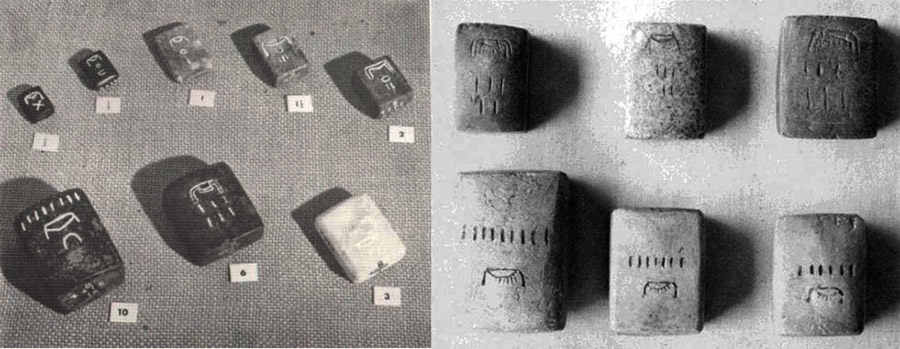
The 8 stone weights shown are "Beqa weights", which were formerly used in the Nubian gold fields and inscribed with the "Nub" sign (the hieroglyph for gold). Historical Metrologist, Donald L. Lenzen states that, 'The Beqa was multiplied decimally up to 2000 units and divided binaurally down to 1/16th shekel'.
The 8 stone weights shown are accompanied by signs, which indicate that they represent 1/3rd, 1/2, 1, 1½, 2, 3, 6 & 10 Beqa.
Lenzen compares the weight values of four official, carefully marked, Egyptian stone weights to arrive at his average for a Beqa @ 196.65 grains. The stones, all notably inscribed with the names of a king or governor, range from the eras of 2250 BC to 1450 BC. Donald Lenzen's estimate is shown at the left.

The Roman Attic Talent was exactly the same as the Egyptian Talent and the same holds true for the Beqa Shekel weight utilised in both regions.
SO WHAT WAS THE BEQA CODING?
The Egyptian Beqa went on to be adopted by both the Greeks and the Romans and the numbers generated by it are related to the lunar cycle, as found encoded into the dimensions of the Khafre Pyramid. Let's look first of all at how the Greeks and Romans used the Beqa. Again, Donald L. Lenzen's averages are found in the boxes to the left:
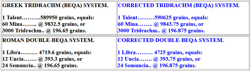
It can be seen that by adjusting Lenzen's Tridrachm or Semuncia values by less than 1/4 of a grain of wheat they could achieve 196.875 grains.
200°
This degree angle, either as 200° or 180-degrees opposed as 20° should be self explanatory as a decimal string, dividing significant numbers into divisions of ten.
7. 55' @ 230.4°, 55' @ 232° (52° return), 56' @ 233.28°.
230.4°
A mathematical progression based upon 230.4 goes:
230.4, 460.8. 691.2, 921.6, 1152, 1382.4 ... 2073.6, 2304 ... 3456 ... 4147.2 ... 4608 ... 5760 ... 6220.8 ... 6912 ... 8064, 8294.4 ... 9216 ... 10137.6, 10368 ... 11520 ... 12441.6 ... 17280 ... 18662.4 ... 20736 ... 23040 ... 24883.2 ... 362880 ... 130636800.
This, again, is a dynamic string that leads to the 24883.2 mile reading, using Greek-miles of 5250', to the 130636800' equatorial circumference. This string is essentially encoded into the ring of horizontal lintel stones of Stonehenge, in that the outer face lengths of the, formerly, 30 lintels averaged 11.52 each (138.24") ... 115.2 X 2 = 230.4. These 30 lintel, outer-face lengths equated to a circle of 345.6' and 345.6-miles would be 1/72nd of the 24883.2 equatorial circumference of the Earth under this navigational assignment.
Also, the Egyptian Atur measurement was 34,560' or 20,000 Egyptian Royal Cubits of 20.736".
52°
A mathematical progression based upon 52 goes:
52, 104, 156, 208, 260, 312, 364.
Whereas, the ancient Druidic masters are known to have had a lunisolar Sabbatical Calendar system (Calendar of Coligny bronze parapegma plaque) for tracking both the Sun and the Moon daily through 7-solar years, alongside 7.2 lunar years, there was a simpler agrarian calendar system for farmers and the general population.
The agrarian calendar contained weeks of 7-days, bi-weeks of 14-days, months of 28-days and 13-months per year or 52-months, culminating in 364-days, a shortfall of 1.25-days per annum against the 365.25 days of a true solar year. This system was allowed to run for 7-years until the Sabbatical Year, when 8.75 (9) intercalary days were added to the count during a 9-day festival, before the new count recommenced.
233.28°.
A mathematical progression based upon 233.28 goes:
233.28, 466.56, 699.84, 933.12, 1166.4 ... 1866.24 ... 2332.8 ... 5832 ... 6531.84 ... 9331.2 ... 13063.68 ... 23328 ... 29160 ... 46656 ... 130636800.
This string homes in on the 23.328" (1.944') Swedish Rydaholmsalm, which features copiously in the many strings devoted to world navigation under the 130636800' equatorial circumference of the Earth. The sum of 233.28' (of 12") would equate to 240 Roman feet of 11.664" each or 120 Swedish Rydaholmsalm
As discussed, both the Swedish Rydaholmsalm or the Roman foot could be read as 23.328" (1.944') or half that value (Roman foot) as 11.664", with alternative readings of 23.333333" or 11.666666", respectively.
There would be 67200000 Swedish Rydaholmsalm in the 130636800' equatorial circumference and 134400000 Roman feet of 11.664"). If, however the equatorial circumference complied to 67200000 Rydaholmsalm of 23.333333" the equatorial circumference would jump to 130666666' or 24747.475-miles.
In terms of the POLAR circumference, where the official figure is 24860-miles of 5280', this slightly increased Rydaholmsalm reading is only 112.525-miles shortfall or 153.525-miles shortfall on the equatorial reading.
8. 52.5' @ 286.666° (106.666° return), 52.5' @ 288°, 51.84' @ 290° (110° return), 51.84' @ 291.6°.
52.5'
A mathematical progression based upon 52.5' goes:
52.5, 105, 157.5, 210, 26.25, 315, 367.5, 420, 472. 5, 525 ... 630 ... 7875, 840 ... 945 ... 1050 ... 1260 ... 1312.5 ... 1417.5 ... 1470 ... 1575 ... 1680 ... 1890 ... 2100 ... 2520 ... 2835 ... 3360 ... 3780 ... 3937.5 ... 4252.5 ... 5040 ... 5250 ... 5670 ... 6300 ... 7087.5 ... 7560 ... 8505 ... 10500 ... 11340 ... 11812.5 ... 13440 ... 15120 ... 60480 ... 68040 ... 362880 ... 130636800.
This string begins with a 1/100th expression of the Greek mile of 5250' and increments associated with it. The Greek foot was 12.6"; the reed was 10 Greek feet or 10.5' of 12"; the short stadium (stadia) was 525'; the long stadia was 630'.
The string includes the essential navigational numbers all the way up to the full equatorial circumference, including the values for 1° of equatorial arc, but also touches upon divisions within the 6804-day lunar nutation cycle. Also included are incremental values for the side or perimeter lengths of both the Great Pyramid or Khafre Pyramid. There would be 144 increments of 5.25' in the 756' length of the Great Pyramid or 540 such increments for one full perimeter circuit of the Khafre Pyramid (2835').
106.666°
A mathematical progression based upon 106.66666 goes:
106.666666, 213.33333, 320, 426.6666, 533.33333, 640 ... 960 ... 1280 ... 1600 ... 1920 ... 2240 ... 2560 ... 2880 ... 3200 ... 362880 ... 130636800.
The sum of 106.66666' is 100 of what became the French Pied du Roi, with a Toise of 6.4' and a Lieue (league of 10,000 Pied du Roi or 10666.66666') . The 130636800' equatorial circumference would equate to 12247.2 Lieue.
288°
A mathematical progression based upon 288 goes:
288, 576, 864, 1152, 1440, 1728, 2016, 2304, 2592, 2880, 3168, 3456 ... 4032, 4320, 4608 ... 5184 ... 5760, 6048, 6336 ... 6912, 7200 ... 7776 ... 9504 ... 10080, 10368 ... 11520 ... 12096 ... 12960 ... 13824 ... 15552 ... 19008 ... 20160 ... 20736 ... 21600 ... 23328 ... 25920 ... 28512 ... 28800 ... 30240 ... 31104 ... 36000, 36288 ... 38880 ... 248832 ... 362880 ... 130636800.
Again a string that delivers up the essential numbers for the divisions of the Earth all the way up to its full circumference under this navigational method. The values 2016, 4032 and 6048 provide 1/3rd. 2/3rds and a full 1° of equatorial arc.
Also, Herodotus, the Greek historian who visited Egypt in circa 454 BCE was told by Egyptian Priests that each face of the Great Pyramid was 8 pyramid acres. Inasmuch as each face (not including the never-existing, pointed top on this truncated pyramid) complies to a surface area of 230400 ÷ 8 = 28800 sq. ft. The pyramid acre was, therefore, 28800 sq. ft..
51.84'
A mathematical progression based upon 51.84 goes:
51.84, 103.68, 155.52, 207.36, 259.2, 311.04, 362.88, 414.72, 466.56, 518.4 ... 622.08 ... 777.6, 829.44 ... 933.12 ... 1036.8 ... 1244.16, 1296 ... 1555.2 ... 1866.24 ... 2073.6 ... 2332.8 ... 2851.2 ...5184 ...6480 ... 6531.84 ... 9072 ... 11664 ... 12441.6 ... 24883.2 ... 25920 ... 362880 ... 130636800
This string is one of the most dynamic in ancient metrology and generates all the essential divisions of the Earth in miles or minutes and degrees of arc, the Precession of the equinoxes in years or measurement standards used within many cousin nations.
The number 1036.8 tells us the speed at which the 24883.2 mile Earth spins, in MPH per 24-hours.
The 5184 number is one of the most important and versatile to ancient navigational and astronomical calculations, for example:
1. The intended (coded) slope angle of the Great Pyramid was/is 51.84-degrees.
2. Each side of the Great Pyramid measures 72 Reeds of 10.5' each, which means the area the base occupies is 5184 square Reeds.
3. The Precession of the Equinoxes endures for 25920-years (72 X 360) or 5184-years X 5.
4. An English league of 16500' converts to a circumference of 51840', when multiplied by PI @ 3.141818182 (the form of PI used for "11" series numbers).
5. The 24883.2 mile circumference of the Earth equates to 518.4-miles X 48.
110°
A mathematical progression based upon 110 goes:
110, 220, 330, 440, 550, 660, 770, 880, 990, 1100, 1210, 1320 ... 1650, 1760 ... 1980 ... 2200 ... 2640, 2750 ... 2970 ... 3300 ... 3520, 3630 ... 3960 ... 4950 ... 5280 ... 5940 ... 6050 ... 6600 ... 7040 ... 7920 ... 8250 ... 8910 ... 10560 ... 11000 ... 12100 ... 13200 ... 16500 ... 17820 ... 363000 ... 130680000
This is the "11"series of navigational numbers that used the 5280' mile for navigation. The increments of length under this method are: 7.92" (the link); 5.5' (the Merchant fathom); 16.5' (the rod or perch); 66' (the chain); 660' (the furlong or furrowlong); 5280' (the mile ... 3 X 1760 yards of 3'); 16500' (the league ... 3.125-miles).
Under this system, 1980-miles was 1/4th of the Earth's diameter, 3960-miles was its radius and 7920-miles was its diameter. Also, 1-minute of equatorial arc was 6050' and 1° of equatorial arc was 363000', for a full circumference of 130680000' or 24750-miles of 5280' or 22000 Scottish miles of 5940' (1-furlong longer than the English mile).
The width of "Y" Holes circle at Stonehenge is 178.2'.
291.6°
A mathematical progression based upon 291.6 goes:
291.6, 583.2, ... 1166.4, 1458 ... 2332.8 ... 2916 ... 4374, 4665.6 ... 5832 ... 7290 ... 9331.2 ... 11664 ... 13122 ... 14580 ... 18662.4 ... 23328 ... 29160 ... 36450 ... 51030 ... 58320 ... 72900 ... 130636800 ... 131220000
This string relates to the Roman foot at 11.664" or the Swedish Rydaholmsalm at 23.328. Increments in it, like 7.29" = 1/8th of a Roman pace of 58.32". Under this reading, the equatorial circumference of the Earth would be 131220000 feet of 12" or 135000000 Roman feet of 11.664" or 27000 Roman miles of 4680'.
But the string can be represented as 291.6666666 and comply to an overland Roman foot of 11.6666666" or Swedish overland Rydaholmsalm of 23.333333":
291.66666, 583.33333, 875, 1166.66666, 1458.33333, 175 ... 2333.33333, 2625, 2916.66666 ... 3500 ... 4375, 4666.66666 ... 5250 ... 5833.33333, 6125 ... 7000, 7291. 66666 ... 7875 ... 8750 ... 9333.33333, 9625 ... 10500 ... 11375, 11666.66666, 12250 ... 13125 ... 14000 ... 14875 ... 15750 ... 16625 ... 17500 ... 18375 ... 19250 ... 20125 ... 21000 ... 21875 ... 22750 ... 23625 ... 24500 ... 25375 ... 26250 ... 52500 ... 131250000.
So, under this easier to calculate system for overland distances, the equatorial circumference of the Earth, using a Roman mile of 11.66666" X 5000 = 4861.11111' X 75 X 360 = 131250000' (of 12") = 135000000 Roman feet or 25000 Greek miles of 5250'.
9. 46.875' @ 352°, 46.656' @ 352.8° (172.8° return), 46.656' @ 354.375°.
46.875'
For divisions of important final values in navigational strings or lunar cycle fractions, the values 4.6875 (or 46.875) acts as a significant resolving number. For example:
1. The Roman concept of a world circumference of 131250000' ÷ 46875 = 2800.
2. This value, 131250000' equals 125000000 Greek feet; 135000000 Roman feet; 67500000 Swedish Rydaholmsalm; 27000 Roman miles; 3750 Swedish Mil or 25000 Greek miles.
3. The English concept of a world circumference of 24750 miles ÷ 5280 = 46.875.
4. An English league of 16500' ÷ 46.875 = 352 ... 1/15th of the 5280' English mile.
5. A Greek mile of 5250' ÷ 46.875 = 112.
6. A Roman mile based upon 11.664" X 5000 = 4860' ÷ 4.6875 = 1036.8 = the speed in MPH that the world spins through 24-hours, (based upon 24883.2 Greek miles of 5250').
7. A lunar year duration of 354.375-days ÷ .46875 = 756 (the value in feet for the side length of the Great Pyramid).
8. The full perimeter value of the Khafre Pyramid = 2835' ÷ .46875 = 6048' (1-minute of equatorial arc for the Earth).
9. A lunar month of 29.53125-days ÷ .46875 = 63 (a value central to Greek metrology).
10. The mid-sized. Egyptian Royal Cubit of 20.625" ÷ .46875" = 44. Note: the 20.625" cubit is 1.71875'.
11. The ancient, more precise, length that should have been used as the modern metre, 3.28125' ÷ 4.6875 = 0.7*.
*Note: If the 3.28125' ancient rule had been preserved, divided into 100 increments, then the entire parcel of ancient metrology, shared by many cousin nations, could have been preserved. The difference in length between the ancient "metre" and the modern "metre" is: 3.28125' minus 3.2808398' = .0004102' or about 1/205th of an inch ... beyond human visual acuity to detect.
The sum of .46875 = 15/32nds.
352°
A mathematical progression, based upon 352 goes:
352, 704, 1056, 1408, 1760. 2112 ... 3168, 3520 ... 5280 ... 6336 ... 7040 ... 8800 ... 9504 ... 10560 ... 15840 ... 17600 ... 19008... 21120 ... 26400 ... 28512 ... 31680 ... 35200 ... 44000 ... 52800 ... 63360 ... 70400 ... 101376 ... 130680000
Again, this string leads to identifying the 24750-mile equatorial circumference of the Earth of 5280' per mile or 22000 Scottish miles of 5940' or 371250 leagues of 16500'.
46.656' @ 352.8° (172.8° return),
A mathematical progression, based upon 46.656 goes:
46.656, 93.312 ... 186.624, 233.28 ... 466.56 ... 653.184 ... 933.12 ... 1166.4 ... 1306.368 ... 1866.24 ... 2332.8 ... 4665.6 ... 5832 ... 6531.84 ... 93312 ... 11664 ... 58320 ... 933120 ... 130636800
This string demonstrates how to read the 24883.2 mile equatorial circumference of the Earth (based upon a Greek mile of 5250') in either Roman feet of 11.664" or Swedish Rydaholmsalm of 23.328"
There were two variations of the Roman foot or the Swedish Rydaholmsalm, also read as 11.6666666" or 23.3333333" respectively...
Also, the Roman & Swedish rules could work with either the 130636800' system or a slightly elongated system configured to 131200000' (using Roman feet of 11.664" or Rydaholmsalm of 23.328")
1. Under the 130636800' (1567641600") reading there would be 134400000 Roman feet or 67200000 Swedish Rydaholmsalm.
2. Under the 131220000' (1574640000") reading there would be 135000000 Roman feet or 67500000 Swedish Rydaholmsalm.
3. Under the 131250000' (1575000000") reading there would be 135000000 Roman feet of 11.666666" or 67500000 Swedish Rydaholmsalm.
Essentially, The Roman foot @ 11.664" X 5000 = 4860' (of 12") X 75 = 1° of equatorial arc X 360 = 131220000 and is 583200' longer than the 130636800 reading or 600000 feet longer than 130636800'.
Therefore, when using the reading of 11.666666" for the Roman overland foot X 5000 = 4861.11111' (of 12") X 75 = 1° of equatorial arc X 360 = 131250000' or 30000' longer than 131220000. and 613200' longer than 130636800. The sum of 613200' would equate to 630720 Roman feet of 11.666666" ... or 306600 Swedish overland Rydaholmsalm of 233.333333".
The sum of 148.5, if used as a diameter and converted to a circumference using PI @ 3.141818182 would achieve 466.56.
A marker sits on the Stonehenge Avenue that expresses 233.28' of distance from the centre of Stonehenge for a circle diameter of 466.56-feet. .
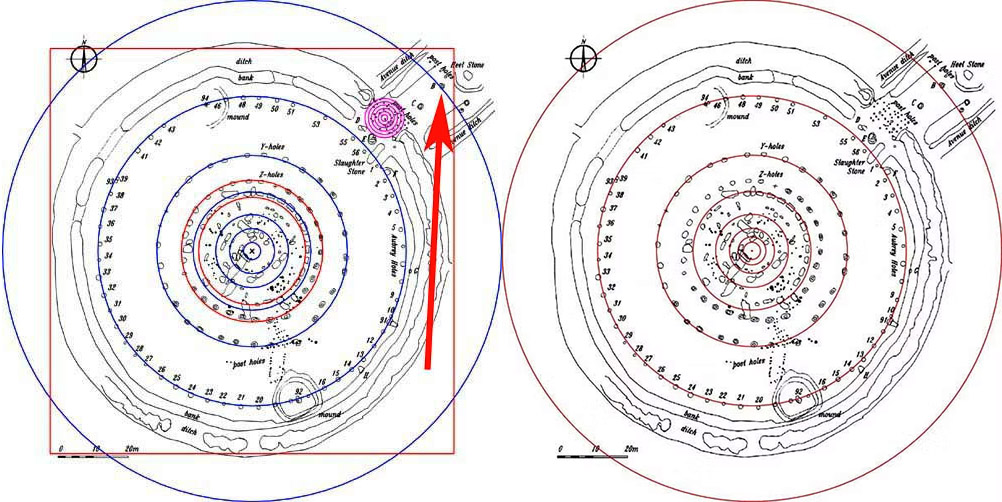
The red arrow points to marker-stone B situated on the Avenue at Stonehenge, which sits 233.28' (also read as 233.3333') from the centre of Stonehenge. From this position the main circles of Stonehenge (with exception to "Z" Holes and the inner rim of the Sarsen Circle ...shown in red), reduce by the PHI ratio of 1: 1.6180339.
It can be observed that a half-PHI (.80901695) reduced square overlaying the 466.56 diameter circle contains the Stonehenge site's circular perimeter (378' wide... East to West), with only some Avenue markers (like the Heel Stone) jutting beyond.
Therefore, at Stonehenge the PHI reduction (slightly rounded) for the circles go: 466.56' to 288' (Aubrey Circle) to 178.2 ("Y" Holes) to 110' (outer rim of the Sarsen Circle).
Each of these numbers is highly coded and factorable and recur in ancient European/Mediterranean Weights, Measures & Volumes standards. The slightly rounded PHI reducing numbers can also be represented as:
466 - 288 = 178; 288 - 178 = 110.
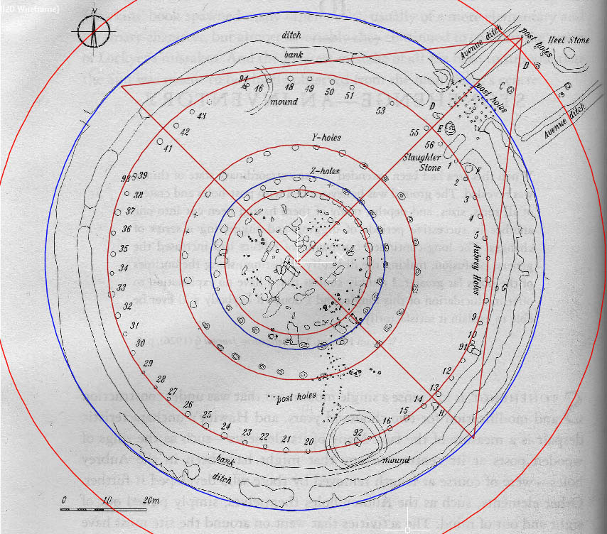
In this picture the PHI reducing circles are shown as red and a perfect, two-dimensional, half-replica of the Great Pyramid's side profile is marked into the Stonehenge site.
It is glaringly apparent that Stonehenge was originally laid out using a half-scale, Great Pyramid template. The above picture is in perfect scale.
As with many other megalithic sites, some circles within Stonehenge are slightly elliptical. However, a 378-feet diameter circle (blue) encases the Stonehenge site virtually perfectly from outer-ditch-edge to outer-ditch-edge across the entire site, excluding only the more extended Avenue and Heel Stone @ 45°.
A stone marker designated as “H” in the above scaled plan delineates how a pyramid base line goes from 135-degrees to 315-degrees from the edge of the outer ditch, across the embankment, through the site’s epicenter, across the opposite embankment to finally resolve at the outer ditch edge 378-feet distant (half the length of the Great Pyramid).
At the same time, a line commences centrally at 90-degrees opposed to the pyramid baseline and runs for 240.5-feet @ 45-degrees to resolve against a post on the Avenue. En-route it dissects a Sarsen obelisk, as well as post positions on the Z-Holes Circle, Y-Holes Circle, brushes a post on the Aubrey Circle, runs between stones D & E, dissects a post row and resolves upon an end post near the Heel Stone.
On the southwestern side, the pyramid hypotenuse line brushes past recumbent marker stones, now tumbled off the top of the embankment to lie slightly off-line, brushes the Aubrey Circle, at the position of post 10's adjacent large stone marker, then proceeds to brush stone C before resolving on the end post that designates the apex.
The pyramid's slope angle of 51.84-degrees is offset accordingly and the apex is marked by a post on the Avenue. A centerline for the pyramid runs from the baseline to stone D, then along a line of 6 posts to its resolving position on the apex post.
From this fact that Stonehenge has markers within the site that lay out a 2 dimensional, half-scale representation of the Great Pyramid and the diameter of the site is 378' to the outer extremities of the embankments, the accepted "official" date of construction of the Great Pyramid (2589-2566 BCE) is clearly very wrong. The date for laying out the embankments at Stonehenge is estimated to be 3100 BCE ... 511 years before work supposedly (erroneously) began on the Great Pyramid.
352.8° (172.8° return)
A mathematical progression based upon 172.8 goes:
172.8, 345.6, 518.4, 691.2, 864, 1036.8, 1209.6, 1382.4, 1555.2, 1728, 1900.8, 2073.6 ... 2592 ... 3110.4 ... 3628.8 ... 4147.2, 4320 ... 4665.6 ... 6048 ... 7776 ... 8294.4 ... 9331.2, 9504 ... 12441.6 ... 24883.2.
This is a very power-packed string that identifies divisions of the Earth, the speed at which the Earth spins in a 24-hour period (1036.8 mph), values for a minute of Earth equatorial arc (6048-feet), as well as a degree of arc (362880-feet) and the distance around the Earth's equator (24883.2 miles).
The value 172.8 was obviously included at Clava Cairns for reference to the PI generating method of 1728/550ths (3.141818182). Also a cubic foot is 12 X 12 X 12-inches (1728 cubic inches) and the longest Egyptian Royal cubit was 1.728-feet or 20.736-inches.
This number-string was used anciently to identify the equatorial circumference of the Earth, or as Julius Caesar stated concerning what the Druids taught in their open-air universities:
"The magnitude of the Earth and its divisions"... or ... "astronomy, mathematics, geometry, medicine, jurisprudence, poetry and oratory were all proposed and taught-natural philosophy and astronomy with severe exactitude". (See: De Bello Gallico, VII, 15, 16.. See also: Strabo I IV, page 197. Caesars Comm. Lib V. Sueotonius, V Calegula. E. Campion, Accounts of Ireland, pg. 18.).
354.375°.
A mathematical progression based upon 354.375 goes:
354.375, 708.75, 1063.125, 1417.5, 1771.875, 2126.25, 2480.625, 2835, 3189.375, 3543.75 ... 4252.5 ... 5670 ... 7087.5 ... 8505 ... 11340 ... 14175 ... 17010 ... 21262.5 ... 22680 ... 25515 ... 28350 ... 34020 ... 35437.5 ... 45360 ... 51030 ... 56700 ... 68040 ... 70875 ... 130636800.
The lunar year was, of course, coded to be 354.375-days or 8505-hours or 510300-minutes or 30618000 seconds in factorable numbers that can be broken down mathematically to the last second thereof. An average lunar year lasts 354 days, 8 hours, 48 minutes, and 34 seconds (approximately 354.37 days ) ... so the ancient astronomer /savants were as close to the actual period as it was possible to get ... .005 of a day or 1/200th of a 24-hour day or 7.2-minutes in excess.
The above string gives the base perimeter of the Khafre Pyramid (a pyramid of the moon) as 354.375' (half the base length); 708.75' (one side length), 1417.5 (two side lengths); 2126.25' (three side lengths) & 2835' (a complete circumnavigation). Also generated are the values for the lunar nutation cycle divisions in larger denominations: 850.5, 1701, 3402, 5103 & 6804 -days respectively.
From the marked, former position of the very tall obelisk at Avebury Henge a surveying line extends to the doorway line of obelisks at West Kennet Long barrow The line extends for 7087.5'. The return angle is 354.375°.
THE ALLEGORICAL-MYTHOLOGICAL STORY OF POSEIDON GIFTING A WHITE BULL TO KING MINOS & HOW IT RELATES TO CLAVA CAIRNS & ITS OUTLIER STRUCTURES.
The allegorical-myth goes:
King Minos of Crete wished to become king, but had to compete with his brothers for the crown. He therefore prayed to Poseidon, asking the sea god to send him a majestic white bull formed from the beautiful white crests of the waves, as proof that Poseidon favoured him as the king of the land. Poseidon agreed, the gift was given and the crown then went to Minos. However, Minos had been required to sacrifice the white bull to the sea god, but couldn't bring himself to offer up such a magnificent animal. He therefore hid it within his royal herd and offered up an inferior bull instead on the sacrificial altar. Poseidon was furious by this betrayal, so caused that the wife of Minos, Pasiphae, to fall passionately in love with the white bull.
At the same time, Poseidon drove the white bull completely mad, like the raging sea. It escaped and wreaked havoc across Crete, destroying crops and villages. Queen Pasiphae, in her insane passion found a way to trick the white bull into copulating with her, resulting in the birth of Asterion, a half bull-half human Minotaur, with the head and horns of a bull.
The myth then introduces Heracles (Hercules) who wrestled the white bull into submission and shipped it to Greece. Once set free there, it went on the rampage once again and had to be killed by the hero Theseus.
However, back in Crete, the white bull's offspring, the Minotaur, grew into a violent creature, ever- hungry, with an insatiable appetite for human flesh. Ashamed and terrified, King Minos ordered Daedalus to build the Labyrinth , an impossibly complex maze of winding corridors beneath the palace at Knossos, to lock the monster away forever.
Thereafter, every nine years, King Minos forced Athens (the seat of great learning) to send a tribute of seven young men and seven young women to be devoured by the Minotaur inside the Labyrinth. Prince Theseus volunteered to join the sacrifice to end this brutal tradition.
Princess Ariadne fell in love with Theseus and fearing for his life, asked for the help of Daedalus, the architect of the labyrinth, in order to get expert advice, on how to navigate through the complex maze, then find and kill the Minotaur. Following Daedalus’s advice, Ariadne gave Theseus a sword and a ball of crimson thread. Theseus tied one end of the string to the entrance doorpost, then he unraveled it as he pushed deeper into the dark, winding corridors.
Theseus found the monster in the heart of the maze. After a fierce battle, he overpowered and killed the Minotaur then, following the thread back up, Theseus safely navigated out of the maze, freed the other Athenian youths, and fled Crete with Princess Ariadne.
We know that the Iliad and Odyssey texts were transmitted orally for centuries before the Greek Golden Age (circa 500 BCE) and the stanzas had to be memorised by bards until the texts were finally committed to writing .There are 15693 stanzas or lines in the Iliad and 12109 in the Odyssey. These texts were first memorised and vocalised by bards beginning in 1200 BCE, 900 years before the Greek Golden Age.
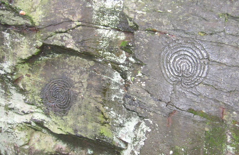
Ancient, incised, classical labyrinth designs adorn this cliff-face at Rocky Valley, North Cornwall, England.
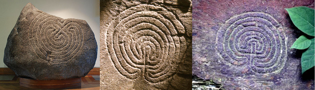
Ancient Irish incised labyrinth designs sit to each side of an English one, centre. They all, undoubtedly, predate the golden age of Greek civilisation (circa 500 BCE) although this is vehemently disputed by our classicist historians and social-archaeologists who, without compelling evidence, say they're either of mediaeval origin, or in the case of the centre one, is probably a 19th century fake.
There is, however, evidence that the Minotaur & Labyrinth myth stems from the much earlier Bronze Age in the British Isles, of circa 3300 - 1200 BCE. During that long span of time, the Orkney Islands of Scotland were used as the natural staging area for sailing to North America to acquire copper in large quantities. That North American copper was the largest contributor to the Bronze age of European and Mediterranean nations.
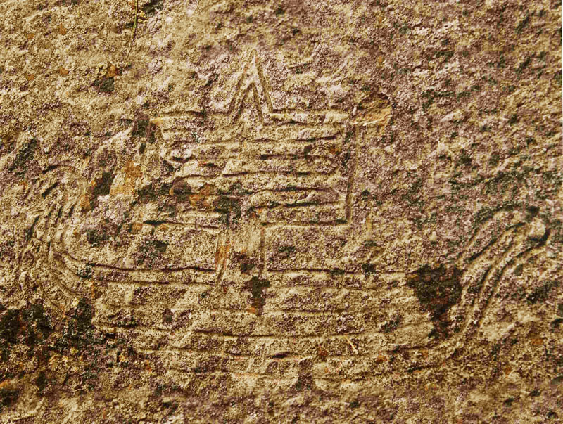
A clearly incised image of the ancient type of high-prow, square rigged sailing vessel is seen on this rock petroglyph at Copper Harbour, Keweenaw Peninsula, Michigan, USA, which would date to the Bronze Age (most active in circa 2500 BC to about 1100 BC, but with evidence of mining back to 4000 BC and before).
During this period, it was essential to the survival of European-Mediterranean civilisations that they possess bronze, especially for the fabrication of defensive weapons. Estimates on how much copper left North America and crossed the Atlantic to feed the European Bronze Age vary considerably, but one author states:
'The chief ingredient for bronze is copper. The era around 3000 BC saw more than 500,000 tons of copper being mined in the so-called Upper Peninsula, in the American state of Michigan. The largest mine was on Isle Royale, an island in Lake Superior, near the Canadian border. Here, there are thousands of prehistoric copper pits, dug thousands of years ago by ancient peoples unknown. The Mining Belt on Isle Royale has a distance of one and three quarter miles in length and is nearly four hundred feet wide. The copper pits range ten to thirty feet deep with connecting tunnels; one archaeologist estimated that their digging would take the equivalent of 10,000 men working for 1000 years.'
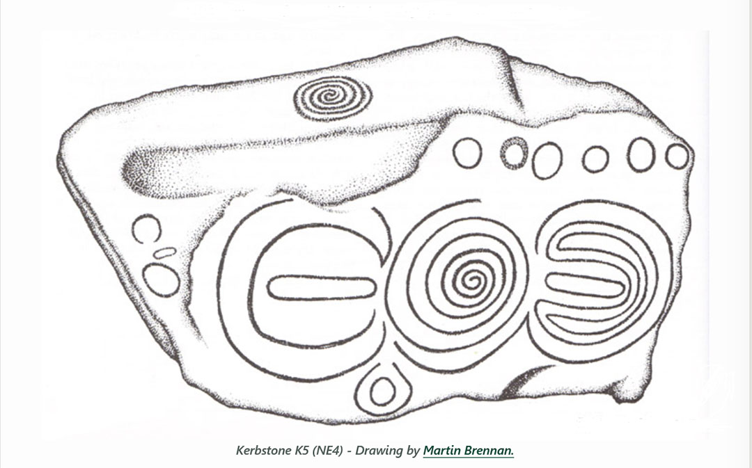
Kerbstone 5 at Knowth, dating to before 3000 BCE (over 5000-years ago). Note the "horn-crescent" (left) , reminiscent of the "horned-cairns" of the British Isles, the central spiral and the labyrinth-like, "horned" or crescent-like design (right).
A Greek Pot from about 500 BCE showing Theseus killing the dreaded Minotaur in the labyrinth.
WHAT DOES THE MINOTAUR AND LABYRINTH MYTH REFER TO.
1. The open sea is not a respecter of persons. It doesn't care about how good-looking or how highly ranked you are in society. If you venture into its realm without sufficient training the monster of the deep will kill you and swallow up your remains.
2. Before being entrusted with an expensive ship, its crew and valuable cargo, an apprentice of the navigational arts has to undertake years of grueling training, out and about on land in all weathers. They have to know horizon rise and set points of the sun, as well as the moon, throughout the year and the monthly waxing and waning stages of the moon. They need to be able to pin-point the position of due North or calculate exact degree angles around from North.
3. The chosen-few, the brightest & best of the youth, from the centre of advanced learning, are, after 9-years of intense training, allowed to be navigators on a ship at sea. From a young age they have been educated on how to navigate on land, calculating the distance and angle to targeted structures, in all weathers.
The land structures, cairns, standing stone circles, obelisk-markers, stone rows, souterrains, chambered cairns or brochs, act as hypothetical islands or destinations in the sea. The targeted structures, once found, mean a place of rest at a chambered cairn or souterrain, out of the cold, is assured for the night. Support teams, at assigned destinations, could offer warmth, food and added navigational tutorials to the successful orienteering students who had found their assigned objectives.
4. The Minotaur, therefore represents the monster of the deep. It is half man and half beast and, unlike its ruminant, plant-eating father, has an insatiable appetite for human flesh. It is also a raging, violent and uncompromising beast that knows no mercy and seeks to kill anything that ventures into its realm and gets lost.
5. To avoid certain death, one must know how to navigate the complex paths of the Minotaur's deep, dark and dangerous realm, all the way to a desirable destination, then back again to the port of departure and a safe haven on the surface of terra-firma.
6. Although Theseus is very strong and a courageous hero, his prowess and bravery in battle are going to be insufficient to save his life in this quest to overcome the Minotaur. He needs far more expertise and this is gifted to him with love by Princess Ariadne, giving Theseus a sword and a ball of crimson thread, as well as knowledge of the planned layout of the labyrinth, as conveyed to him by its architect, Daedalus.
7. Armed with courage and full preparation, Theseus was able to do positional plotting and dead-reckoning, using the crimson string to mark his course to the centre of the labyrinth. He found and slew the Minotaur lurking there, then followed the crimson string through all of its twists and turns, back to the port (door) and up onto terra-firma and safety.
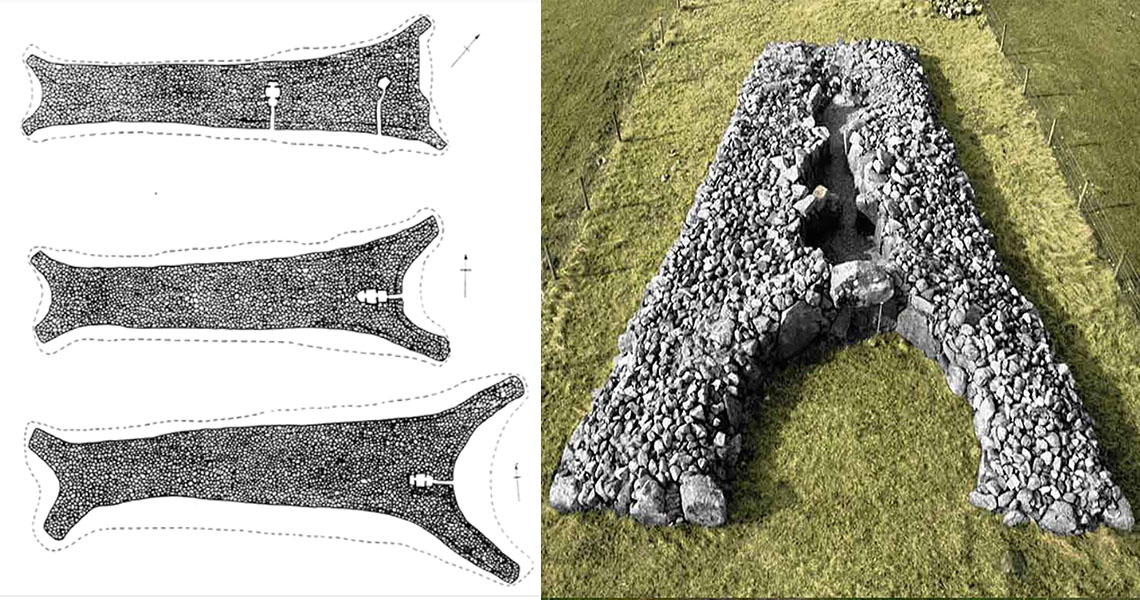
Many chambered cairns at Orkney, Scotland, as elsewhere in the British Isles are classified as "horned-cairns" and "bull horns" are an integral part of the cultural symbolism that goes with these under-turf chambered cairn dwellings, along with their (often) horn-shaped" courtyards or assembly areas. The log-supported, turf roof at this Irish horned cairn (right) has long since rotted away, leaving the internal dormitory chambers exposed.
BUT THERE ARE TWO MORE OF THE CLAVA CAIRNS TO EXTRACT OUTLIER, CIRCUITING STANDING STONE CODES OF POSITION FROM.
Exercise: Using the distances and angles listed below, researchers are invited to create the mathematical progression strings, decipher the codes of position and figure out what they relate to:
For anyone wishing to decipher the in-built codes of dodecahedra memory devices, like this example from the Hunt Museum collection, Ireland, acquire vernier caliper measurements for precise scaling, then measure the hole and concentric ring diameters. Beyond that, refer to numbers from strings listed herein for the 3 Clava Cairns and you'll be well on the way towards understanding the purpose of the 130 dodecahedron mnemonic devices found so far. https://www.celticnz.co.nz/HuntMuseumDodecahedron/HuntMuseumLimerickIrelandDodecahedron.html
CLAVA CAIRN NE.
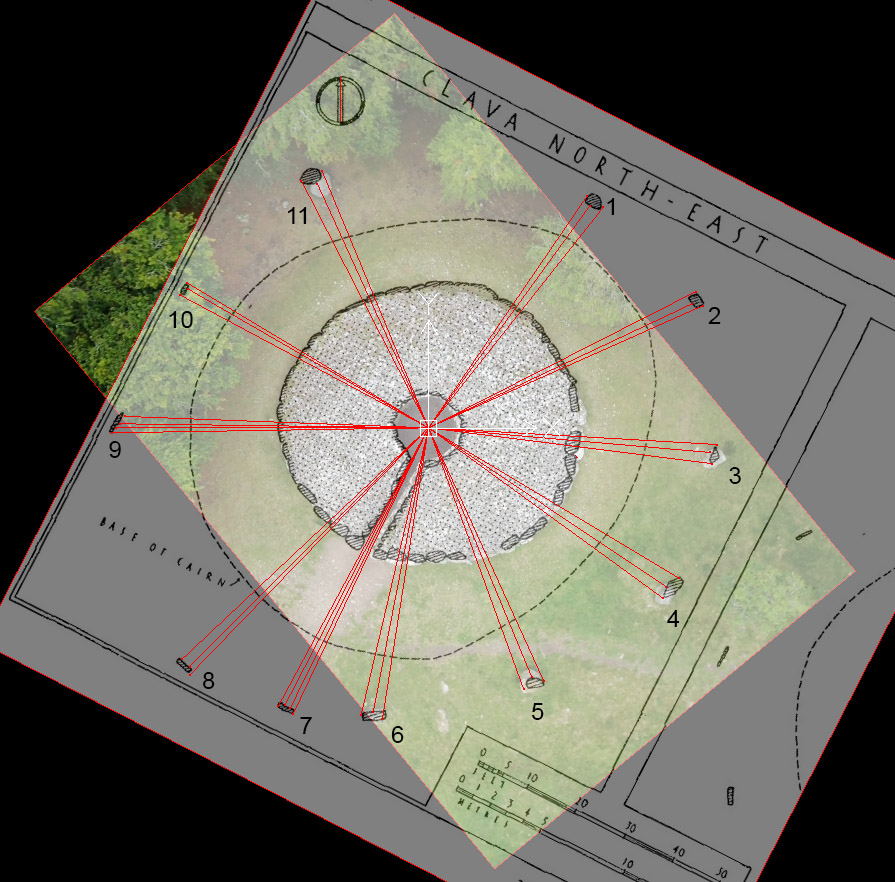
Archaeologist, Stuart Piggott's scaled plan for the NE cairn, showing the code-bearing distances and angles from the cairn epicentre to the sides and middle section of each outlier, standing stone.
Here are the distance and angle results, from a special parcel of scientific numbers, that the architects of the site would have sought to encode into each standing stone position.:
1. 52.5' @ 334.375° , 51.2' @ 36°, 52.5' @ 38.4°
2. 56' @ 63°, 54.432' @ 64.8°, 56' @ 66°.
3. 54' @ 93.312°, 52.8' @ 95° (275° return angle), 53.333' @ 97.2°.
4. 54.432' @ 120.96°, 53.33' @ 123.75°, 54' @ 126°.
5. 51.84' @ 155.52°, 50' @ 157.5°, 51.84' @ 160°.
6. 55' @ 189°, 54' @ 191° (11° return) , 55' @ 193.2° (13.2° return).
7. 59.0625' @ 205.3125° (25.3125° return), 58.32' @ 206.25°, 58.32' @ 207.36°, 59.0625 @ 208.35° (28.35° return).
8. 64' @ 224°, 63' @ 225°, 63' @ 226.8°.
9. 59.0625' @ 269.1° (89.1° return), 58.32' @ 270°, 57.6' @ 270.75° (90.75° return), 56.7' @ 272.16°.
10. 52.5' @ 298.125° (78.125° return), 51.84' @ 300° (120° return), 52.5' @ 301° (121° return).
11. 51.84' @ 332.777° (152.777° return), 50' @ 335.52° (155.52° return), 51.84' @ 337.5°.
CLAVA CAIRN SW
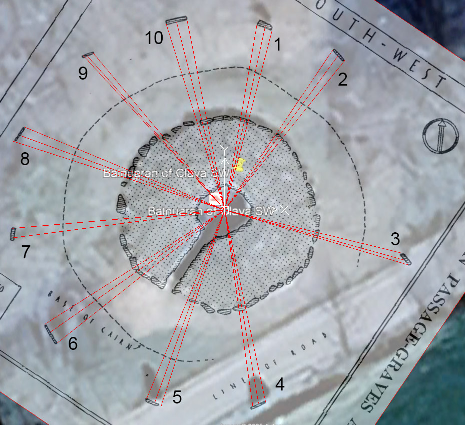
The distance and angle code-bearing measurements from Clava Cairn SW to its circuiting standing stones.
Here are the distance and angle results, from a special parcel of scientific numbers, that the architects of the site would have sought to encode into each standing stone position.:
1. 48.6' @ 9.84375° ( 1/2 of 19.6875 ... lunar & Beqa grain weight), 48.6' @ 12.4416° (equatorial circumference) , 48' @ 14.765625° (1/2 of 29.53125 ... lunar month).
2. 50' @ 34.02°, 49.5' @ 36.288°, 49.5' @ 38.75° (218.75° return).
3. 46.666' @ 103.68°, 48' @ 105.6°, 49.5' @ 106.666°.
4. 50.625' @ 168°, 50.625' @ 170.1°, 51.84' @ 171.875° ( 1/2 of 343.75° ... equatorial circumference).
5. 53.333' @ 198°, 52.8' @ 200°, 52.8' @ 202.5°.
6. 55' @ 231.5625° (51.5625° return).
7. 55' @ 262.5°, 55' @ 265.05° (85.05 return ... Lunar Nutation cycle).
8. 57.6' @ 288°, 56' @ 290° (110° return), 56' @ 292.5° (112.5° return).
9. 54' @ 317.5° (137.5° return), 53.333' @ 318.24° (138.24° return), 52.8' @ 320° (140° return).
10. 50.4' @ 342.5° (162.5° return), 50' @ 345.6°, 50' @ 348.75° (168.75 return).
THE THREE CLAVA CAIRNS AND THEIR OUTLIERS REPRESENT A "MICRO-SITE" FOR TUTORIALS ... NOW, LET'S LOOK AT THE "MACRO" SITES IN THE OUTER LANDSCAPE
OUTLIER STRUCTURES LINKED BY DISTANCE AND ANGLE TO CLAVA'S CENTRAL CAIRN
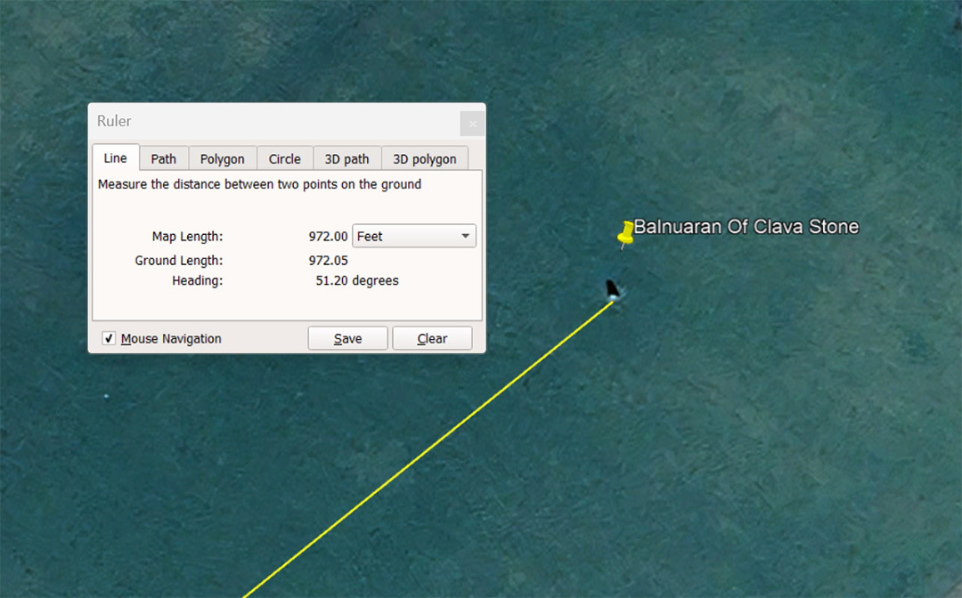
Balnuaran of Clava Stone sits 972' away at 51.2°. The sum of 972-miles would equate to 1/25.6th of the 24883.2-mile equatorial circumference of the Earth. The sum of 51.2 is 2 X 25.6.
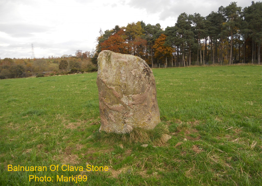
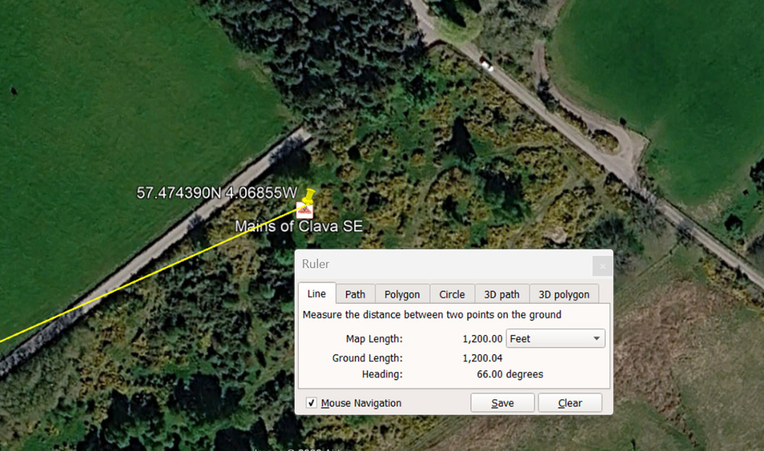
Mains of Clava SE sits 1200' away @ 66°. A length of 66' was the ancient "Chain" measurement and 660' was the Furlong or Furrowlong. Also, the number 12 is highly important to sexagesimal calculations and the 360° compass.
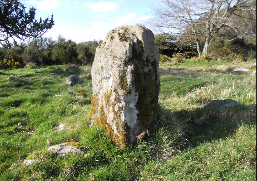
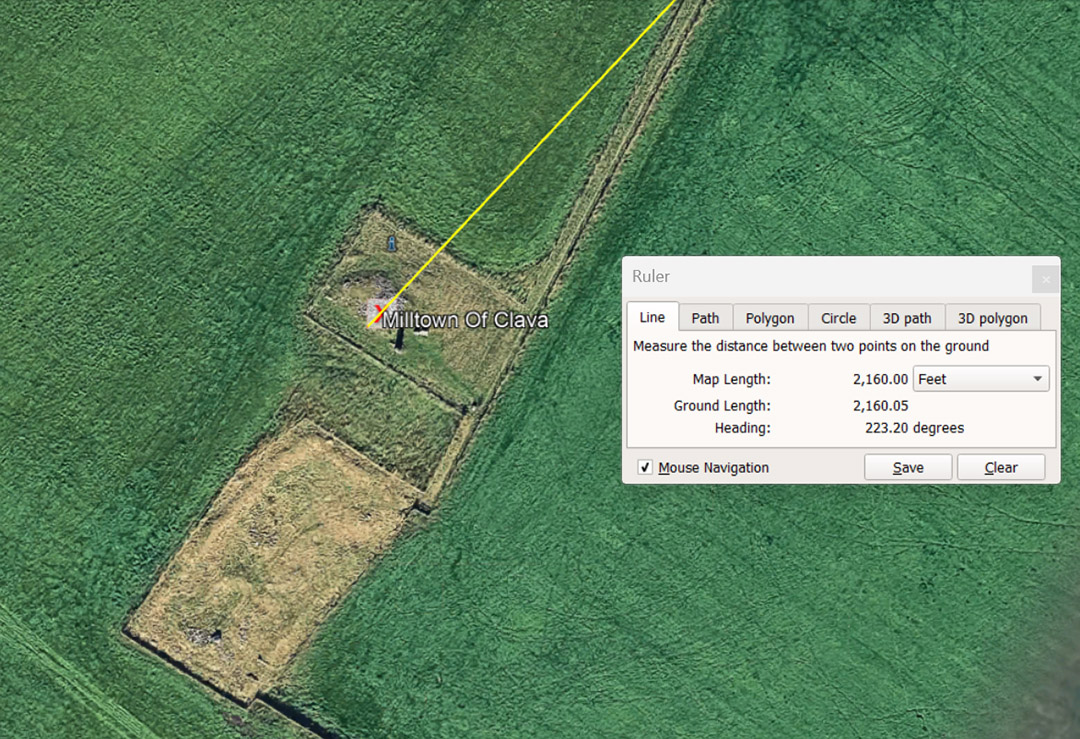
Milltown of Clava sits 2160' away @ 223.2° (return angle 43.2°). The Sun spends 2160-years in each House of the Zodiac during the 25920-year cycle of Precession. The sum of 432-years would equate to 1/60th of the Precessional cycle.
The bushel volume was originally 2160 cubic inches, until years of apathy and non-adherence to maintaining the diameter of a standard bushel tub base allowed the cubic inch volume to diminish to an arbitrary, meaningless number.
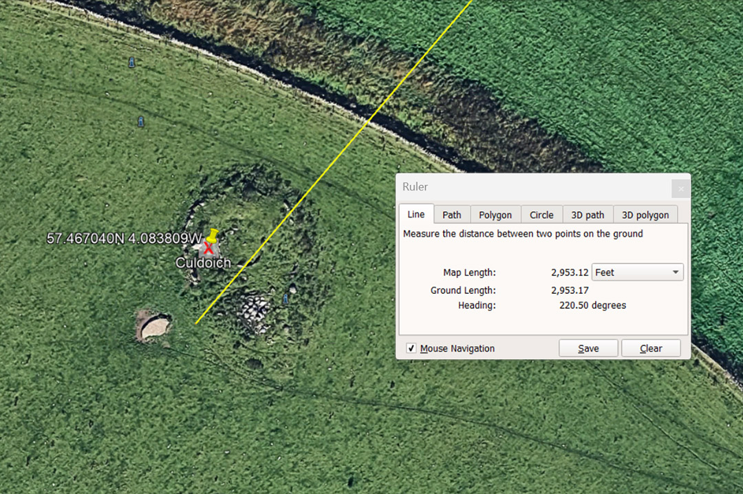 .
The giant white recumbent obelisk's base at Culdoich sits very close to 2953.125' from the Clava Cairns hub centre. The lunar month is 29.53125 days. The degree angle to the Culdoich Cairn is 220.5° (return angle 40.5° ... lunar code). There would be 8.75 intervals of 40.5-days in the 354.375-day Lunar Year.
This code-bearing distance would also have been mnemonically read to mean 3000' and refer to the 30 solar-day month. Also, the centre of the Culdoich would be coded to read 2916' distant and represent 3000 (of what became) Roman-feet of 11.664" or 600 Paces of 58.32'. (The ancient Swedish Rydaholmsalm of 23.328" was two Roman feet ).
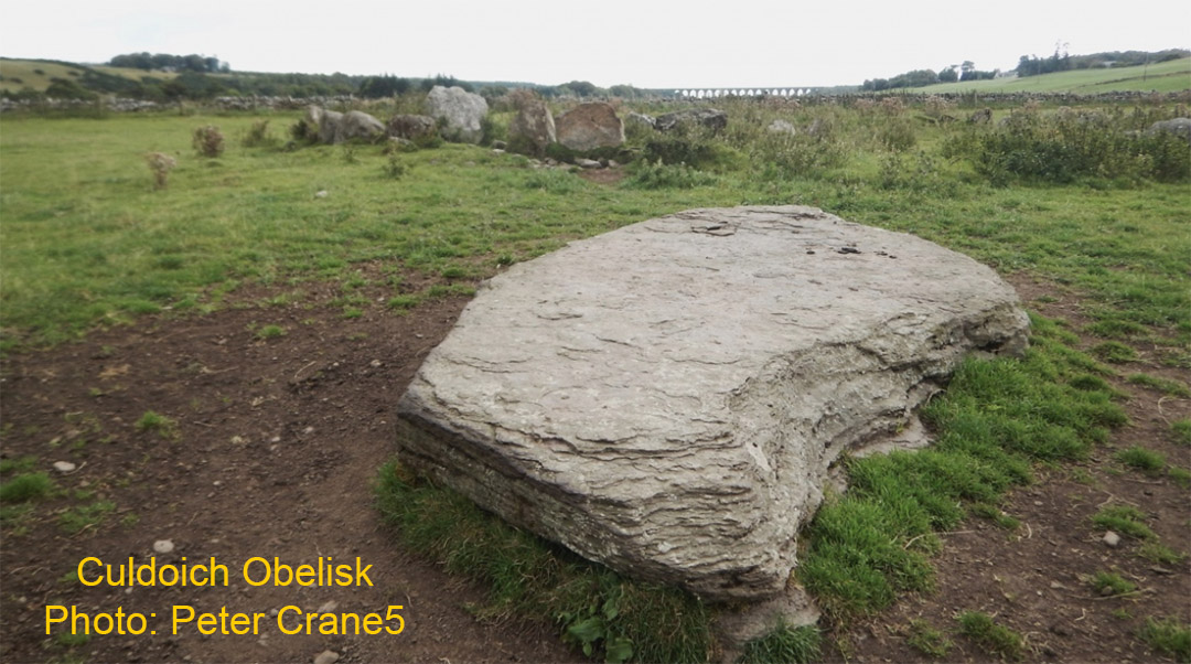
This tumbled white obelisk once stood very close to 2953.125' from the central Clava Cairn and undoubtedly represented the lunar-month duration of 29.53125-days (29¹⁷⁄₃₂).
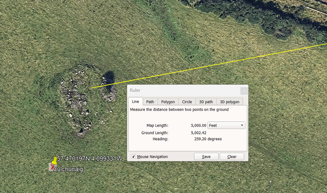
Culchunaig Clava Cairn is situated 5000' @ 259.2° from Clava Cairns centre. The 259.2° angle codes the duration of the Precession of the Equinoxes @ 25920-years. There would be 100 intervals of 259.2-years in the cycle of Precession.
The sum of 5000' would equate to 4687.5 ancient French Pied du Roi of 1.066666' (12.8"). This distance could also be read as 5040' or 50 seconds of equatorial arc (100.8').
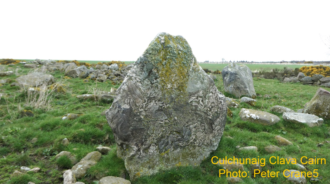
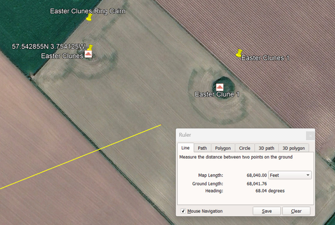
A line extends from Clava Cairns centre to the Easter Clunes complex. The distance given can be read as 68000' or the code-bearing number 68040'. The duration of the Lunar Nutation cycle, where the Moon goes from Lunar Major Standstill to Lunar Minor Standstill, then returns to Lunar Major Standstill, was encoded into ancient edifices or mnemonic devices as 6804-days. Note how the degree angle from Clava Cairns centre to Easter Clunes is 68.04°
The actual duration of the cycle is the non-factorable number of 6798.36-days, so ancient astronomer-mathematicians described it in factorable, easily divisible numbers as 6804-days, for an excess error of 5.64-days in 18.614- solar years.
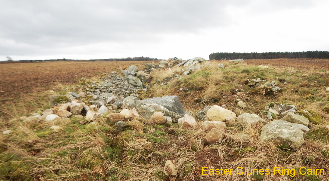 .
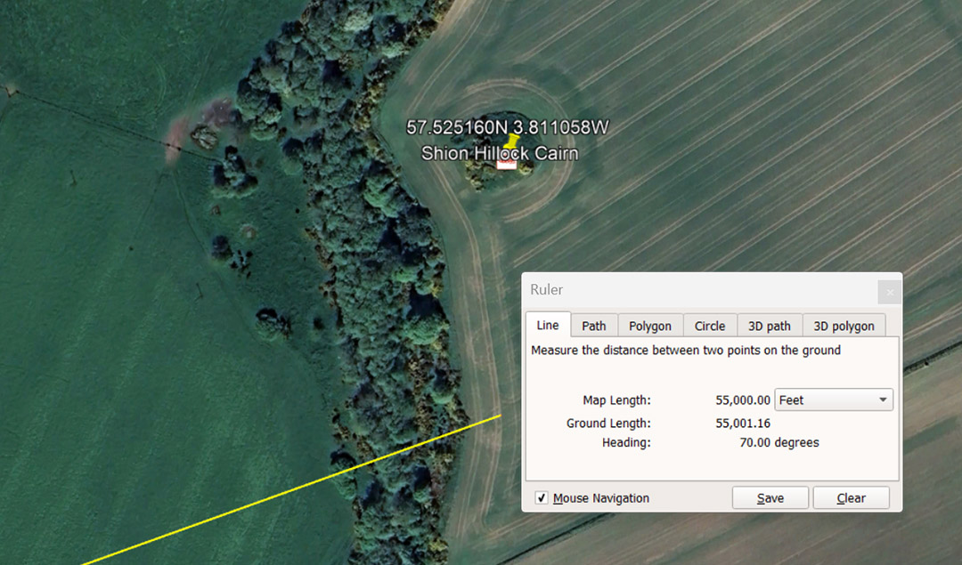
A line extends from Clava Cairns centre to the near vicinity from which Shion Hillock Cairn could be easily seen by an orienteer- student navigator, whose assigned objective was to locate this site. The sum of 55000' equates to 10000 ancient Merchant fathoms; 833.333 chains of 66'; 83.333 Furlong or Furrowlongs or 3.333 Leagues of 16500' each. The angle of travel from Clava Cairns centre is 70°.
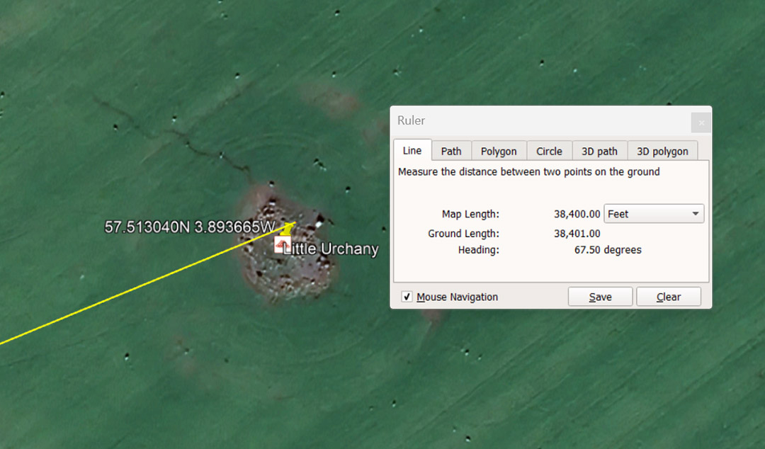
A line extends for 38400' from Clava Cairns centre to Little Urchany Clava-type cairn @ 67.5°. In the 130636800' equatorial circumference of the Earth (12 X 12 X 12 X 12 X 1.2 ... or 24883.2-miles of 5250') adopted by the Greeks from much older civilisations. This 38400' ground length would be 1/3402nd of the equatorial measurement. Note: 3402-days is half the 6804-day Lunar Nutation cycle. The 67.5° angle, in a mathematical progression, generates lunar and navigational numbers.
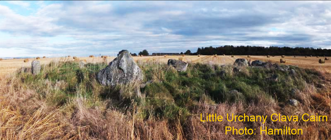
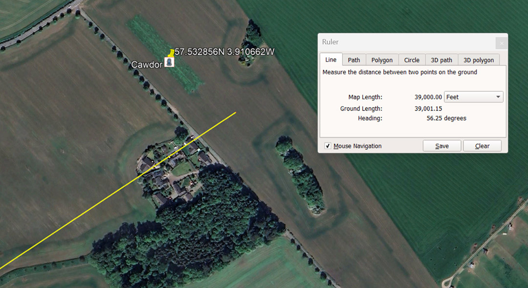
A line extends for 39000' from Clava Cairns centre @ 56.25° to the Cawdor complex and resolves close to a large obelisk marker.The distance number is calendar-coding and ancient agrarian societies used a 13-month of 28-days each annual count (364-days), with an intercalary adjustment during a festival at the end of the 7th or Sabbatical year. The number 39 ÷ 3 = 13.
The angle coding, 56.25°, in a mathematical progression, generates compass, navigational and equatorial circumference of the Earth numbers under the 5280' & 5940' mile (ancient Scottish mile) increments. This system, based upon the "11" number family, considered (for navigational purposes) that the Earth was 24750 miles of 5280' each in circumference or 22000 ancient Scottish miles of 5940'.
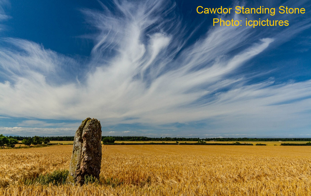
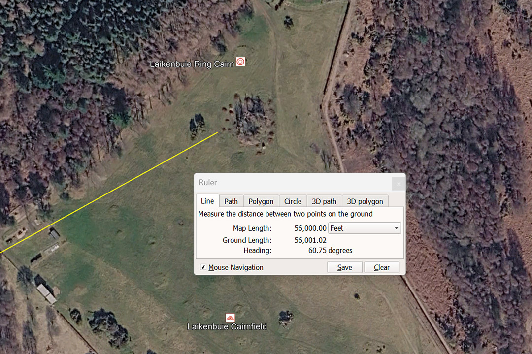
The Laikenbuie complex was, in the Bronze Age and beyond, a large settlement, containing approximately 50 round cairns, prehistoric hut circles, and an archaeologically significant ring cairn. The large complex sits 56000' from the central Clava cairn @ an angle of 60.75°. The sum of 56000' is 10⅔ miles of 5250' each (adopted by the late emerging Greek civilisation).
The degree angle from Clava to this location is 60.75° and, in a mathematical progression generates numbers related to the 6804-day Lunar Nutation cycle.
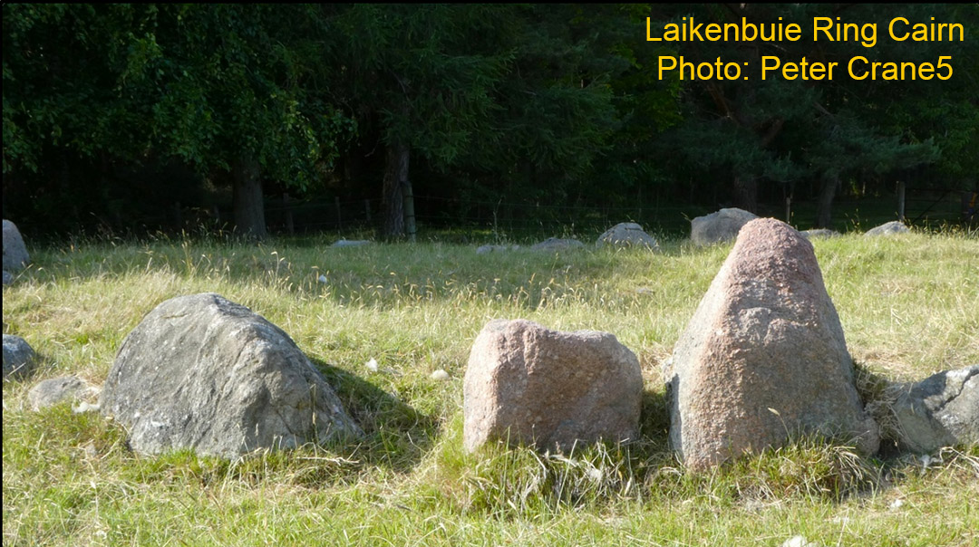
One of the many ancient structures in the Laikenbuie complex.
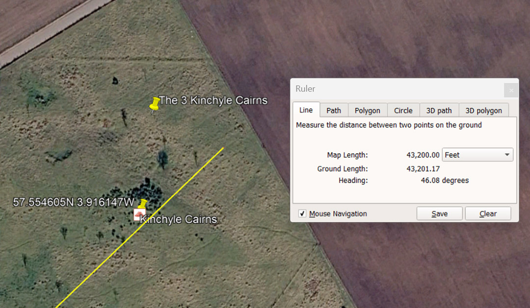
A code-bearing line extends for 43200' @ 46.08°, from Clava Cairns centre to Kinchyle Cairns complex. The 43200 number is navigational and there would be 576 X 43.2-miles in the 24883.2-mile equatorial circumference of the Earth. Also in the 25920-year Precession of the Equinoxes cycle the sum of 432-years would be 1/60th.
The 46.08° angle is navigational coding and in the 24883.2-mile equatorial circumference the sum of 46.08-miles would be 1/540th.
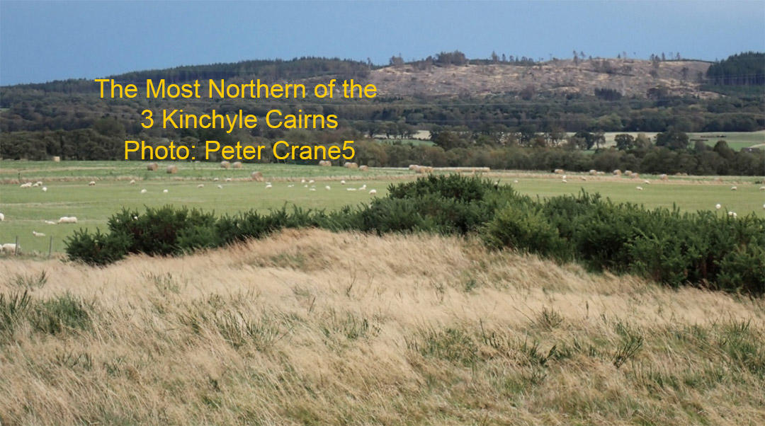
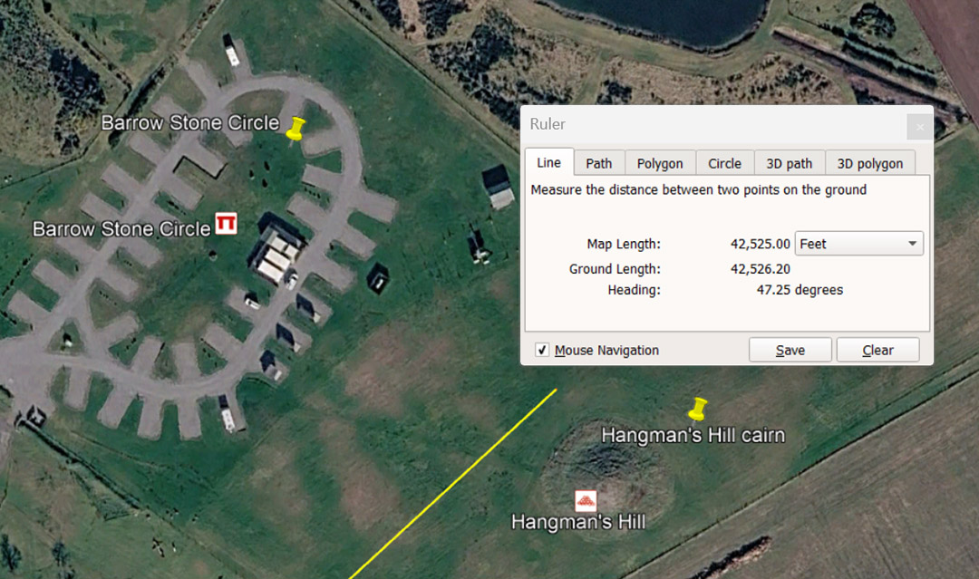
A line extending from Clava Cairns centre resolves to 42525' @ 47.25° between Hangman's Hill Cairn and Barrow Stone Circle . The 42525 number relates directly to the 6804-day Lunar Nutation cycle of which 425.25-days is 1/16th.part. The degree angle relates directly to the base measurements of both the Great Pyramid and Khafre Pyramid of Egypt. The Great Pyramid is 47.25' X 16 = 756' of side length. Alternatively, the Khafre Pyramid (a pyramid of the moon) is 15 X 47.25' = 708.75' of side length. The lunar year @ 354.375-days (half of 708.75) is 47.25 X 7.5.
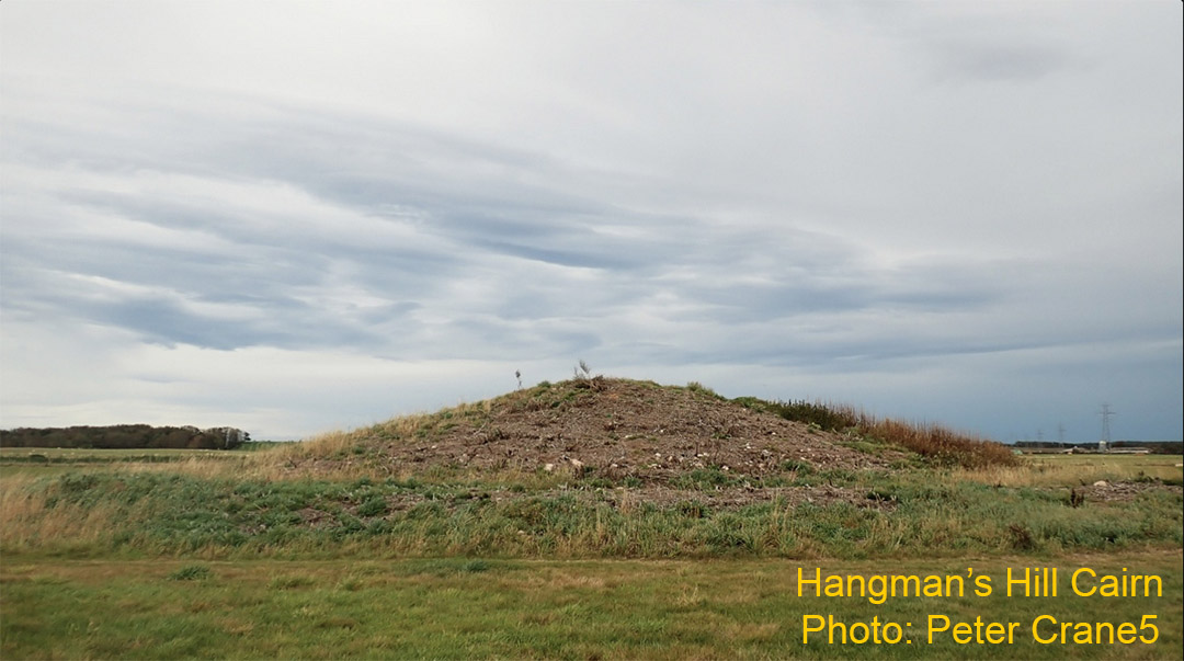
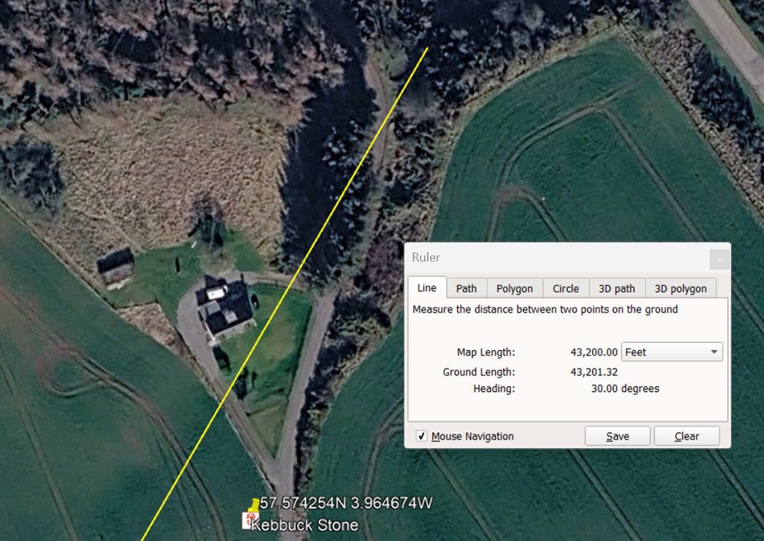
Ancient orienteer students of navigation could find Kebbuck standing stone just short of the code bearing distance of 43200', @ 30° out from the centre cairn at Clava Cairns. The distance of 43200' would equate to 25000 of the largest of the Egyptian Royal Cubits of 1.728' (20.736") or 1.25 Egyptian Atur in overland distance. Note: The length of the 20.736" ERC was preserved in the widths of the Great Pyramid's base paving slabs.
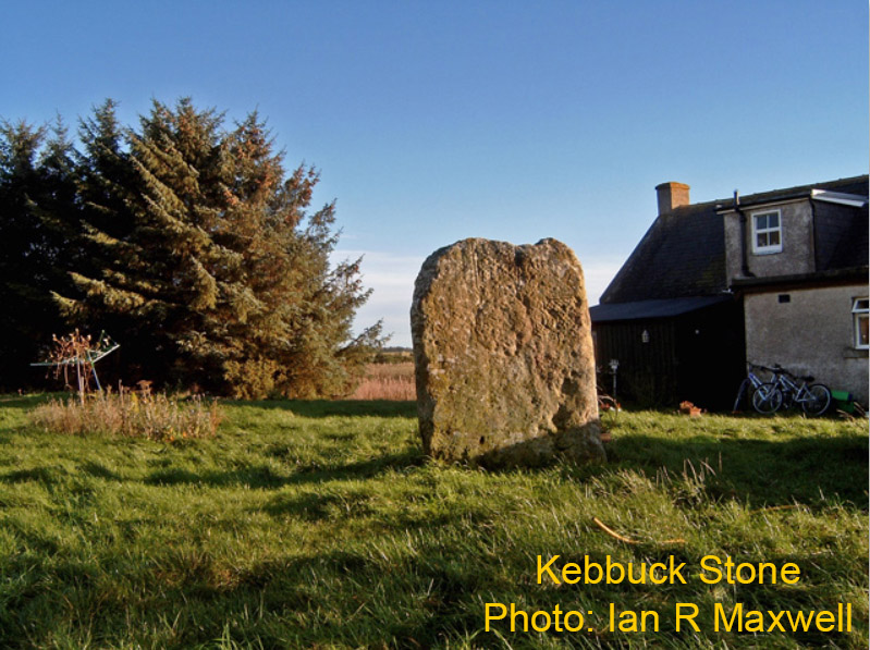
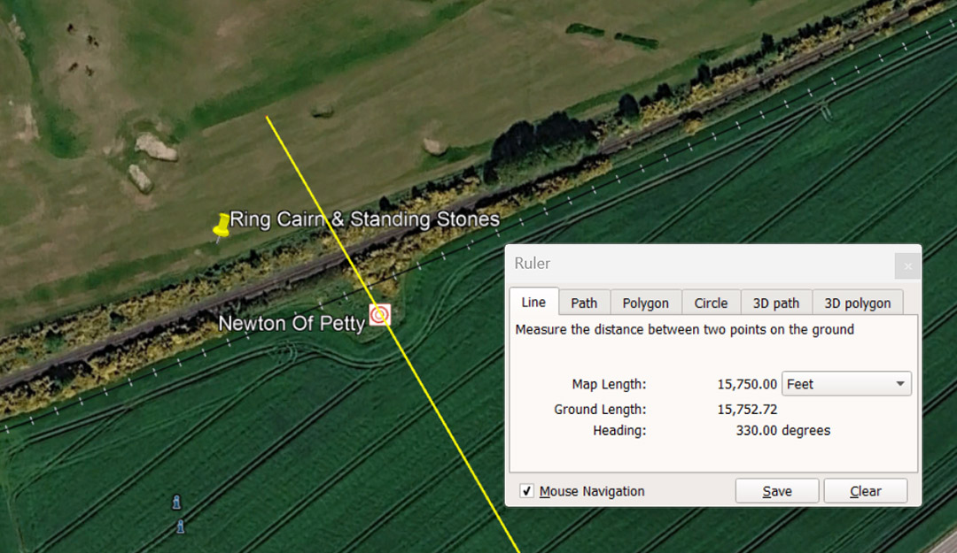
A line extends 15750' from the centre Clava Cairn to resolve at Newton of Petty Ring Cairn and Standing Stones. This distance is 3-miles of 5250'. The sum of 5250' of 12" each is 5000 Greek feet of 12.6" each.
The angle of 330° is navigational coding and 330' is half a furlong or furrowlong or 1/16th of a mile of 5280' (English mile). Half a furlong of 330' is also 1/18th of the ancient Scottish mile of 5940'.
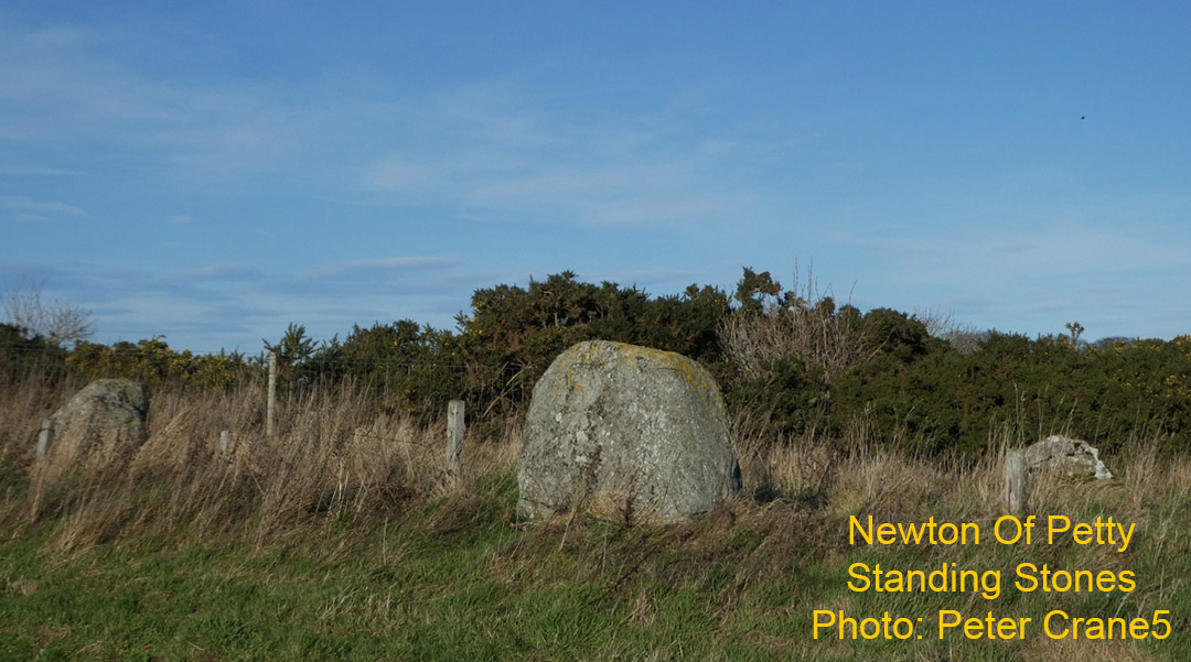
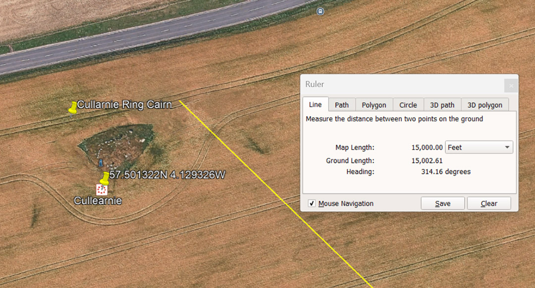
Cullearnie Ring Cairn sits 15000' @ 314.16° from Clava Cairns centre. It could also be read as 15120 or 2.88 miles of 5250'. It would also comply to 8800 of the smallest Egyptian Royal cubits @ 20.61818182" (20³⁴⁄₅₅") or 8750 of the largest ERC @ 20.736" (20⁹²⁄₁₂₅"). Two side lengths of the Great Pyramid = 1512'.
The ancient astronomer-mathematicians used several versions of the PI ratio, depending upon the number family being calculated from a diameter length to a circumference. These ranged from 3.125, 3.15, 1728/550ths, 3.1416 or 22/7ths.
1. If traversing terrain or sailing at sea using Greek miles of 5250' (5000 Greek feet of 1.26") the version of PI used was 22/7ths. Therefore, 5250' X 3.142857143 = 16500' = 1 English league of 3.125 English miles of 5280'.
2. If traversing terrain or sailing at sea using English leagues of 16500', the version of PI used was 1728/550ths (3.141818182). Therefore 16500' converts to a circumference of 51840' or 144' per degree of arc.
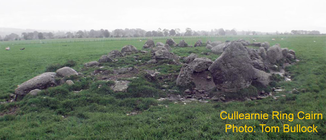
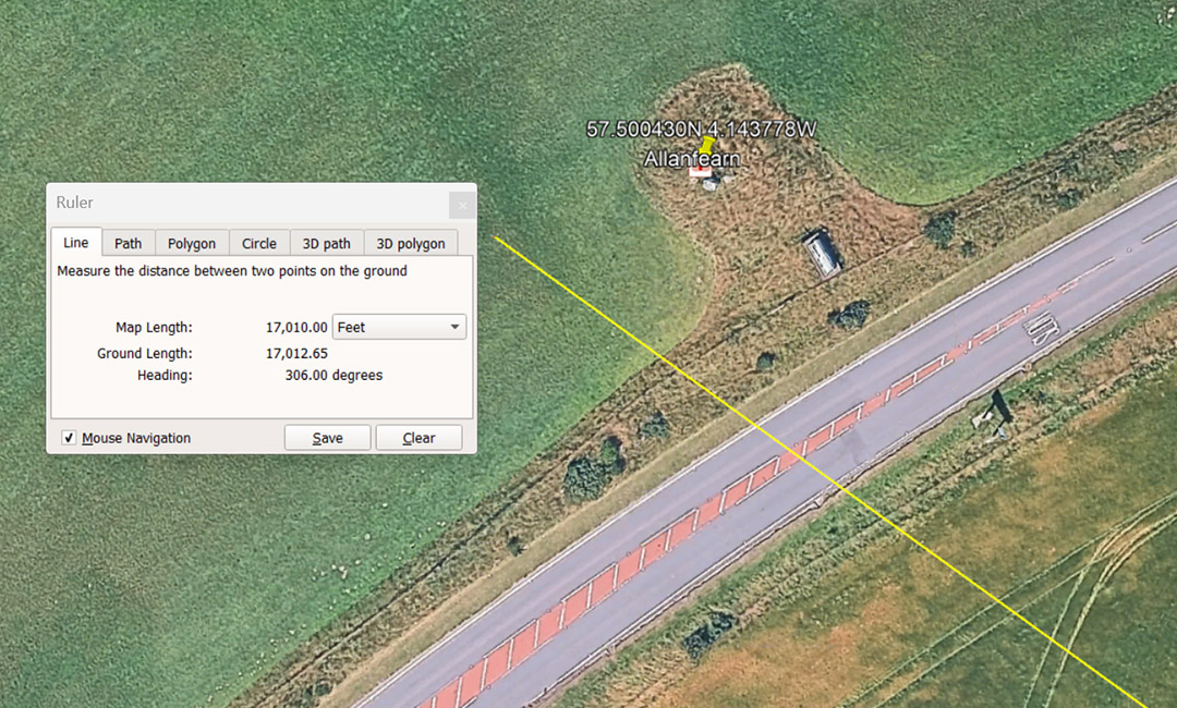
A line extends from Clava Cairns centre for 17000' (also read as 17010' ... Lunar Nutation cycle code) to Allanfearn Chambered Cairn at an angle of 306° (return angle 126°). The distance 17010' (considered as a circumference) ÷ 360 = 47.25' per degree of arc. The distance of 17010' would equate to 3.24 Greek miles of 5250'.
The length of 12.6" was a Greek foot; 126" was a Reed (10.5'); the sum of 12600' would be 1/10368th of the equatorial circumference of 130636800'.
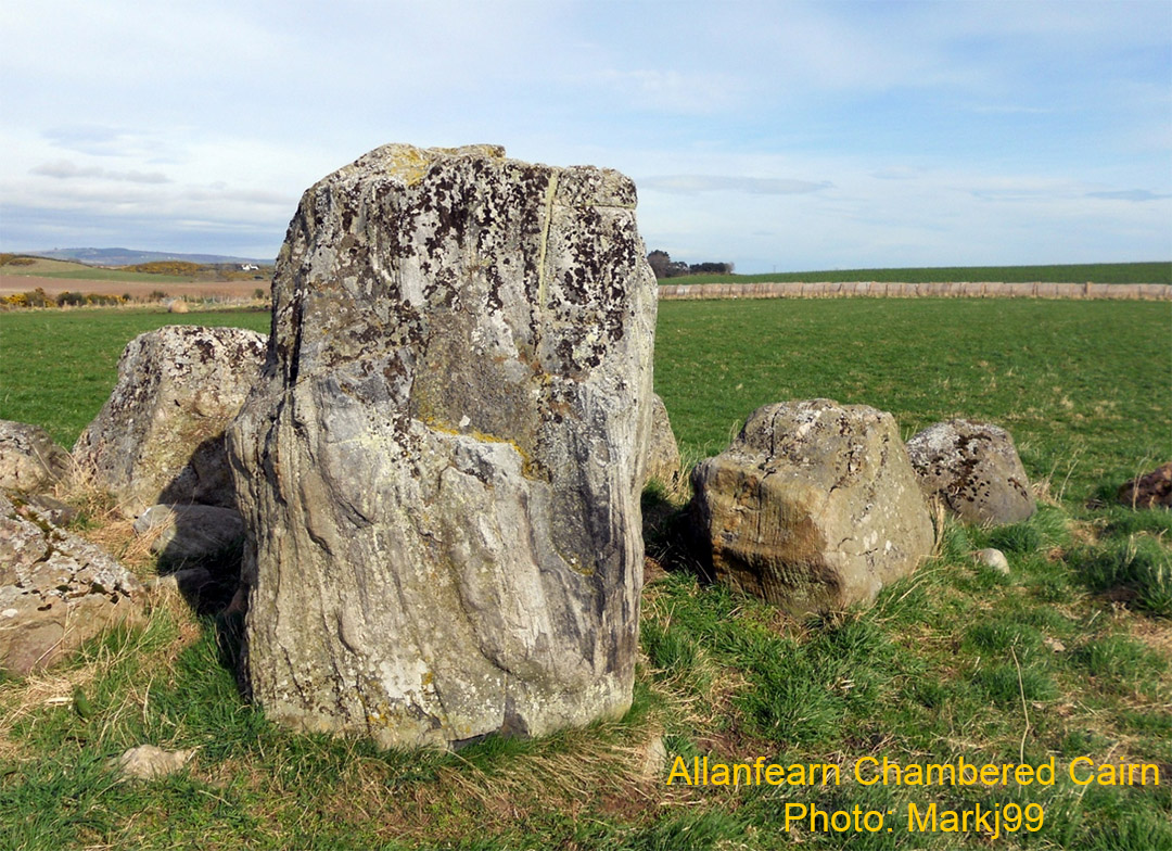
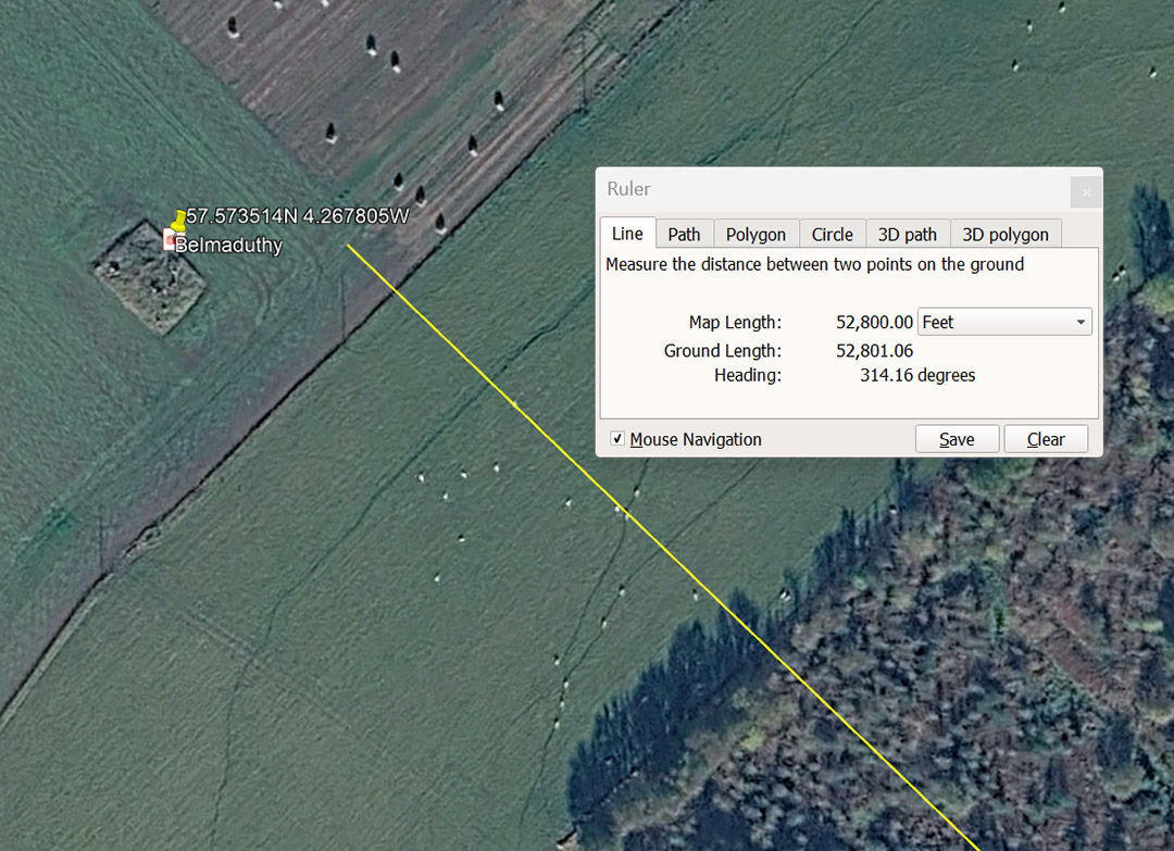
The distance from Clava Cairns is 10 miles of 5280'. The degree angle is PI @ 3.1416 X 100.
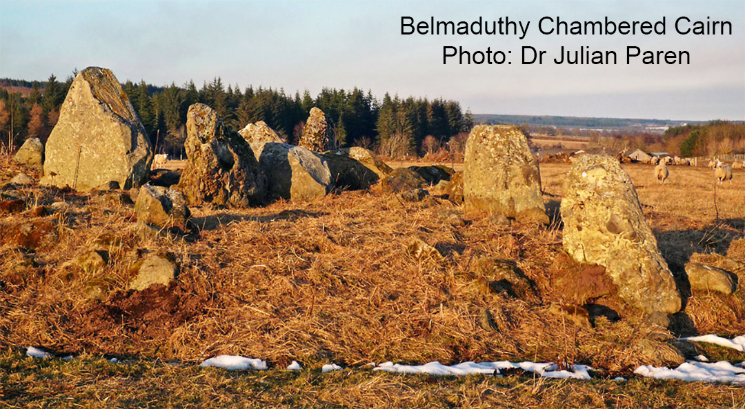
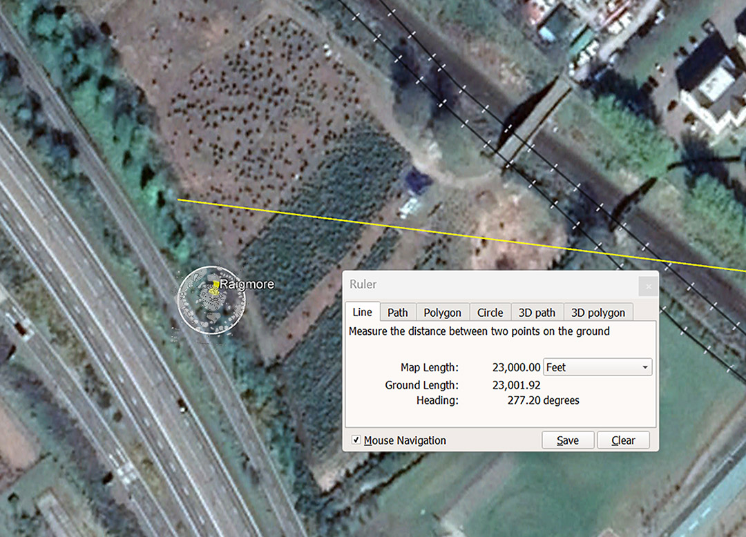
One of the most impressive Clava-type kerbed cairns was once located at the above position at Raigmore, Inverness and had to be moved in 1972-73 to make room for the new motorway. It was estimated to be 5000-years old.
A line extended for 23000' (also coded to read 23040') from the centre of Clava Cairns and at an angle of 277.20° (return angle 97.2°). If the distance from Clava Cairns were read as 23040', then that would equate to 1/5670th of the 130636800' equatorial circumference of the Earth (12 X 12 X 12 X 12 X 1.2 Greek miles of 5250' each) ... 24883.2-miles.
The return degree angle is also navigational coding and 972° (inferring 972-miles) would equate to 1/25.6th of the 24883.2 Greek mile equatorial circumference.
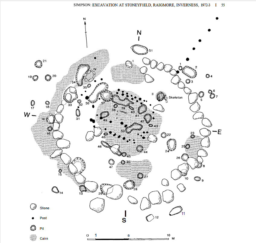
The positions of each boulder stone component was carefully logged before the site was moved 400 metres south in 1972-73.
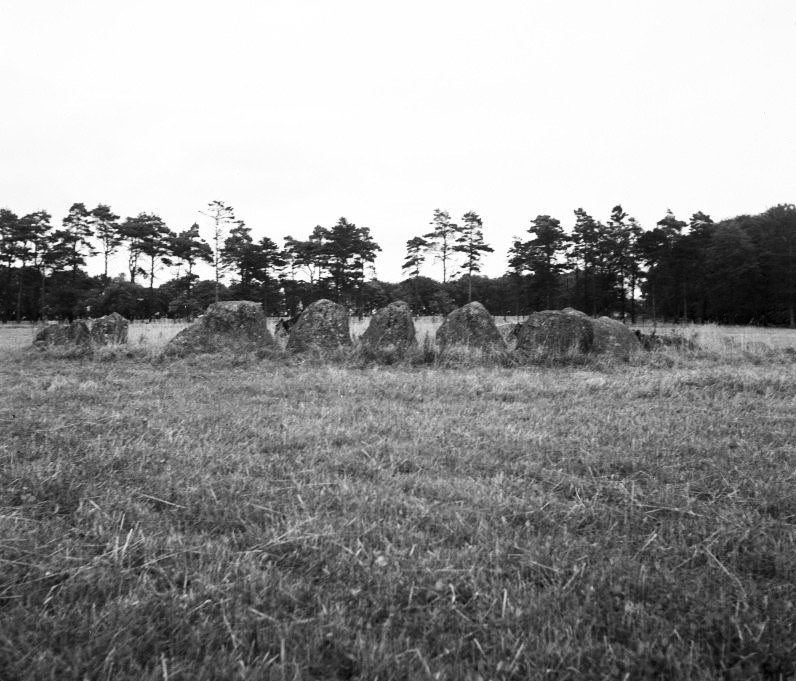
Stoneyfield, Raigmore, Inverness Scotland in 1943. In 1972-73 the entire site was carefully uplifted from the path of the new A9 motorway and reconstructed 400 metres due south to sit in a park beside Raigmore Hospital.
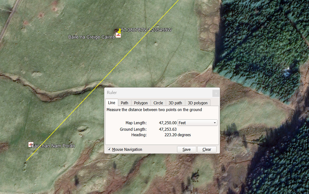
A line extends from Clava Cairns for 47250' @ 43.2°-return and resolves across Caochan Nam Poran. This distance is 9 Greek miles of 5250'. Also, 47250-days would equate to 1600 lunar months of 29.53125-days or 133.3333 lunar years of 354.375-days or 486000 overland Roman feet of 11.6666" or 24300 Swedish Rydaholmsalm of 23.3333".
The 43.2 number is multi-functional and integral to ancient mathematical computations. For example: There would be 7 X 432' in one circumnavigation of the Great Pyramid, or 14 in the 6048' for 1-minute of equatorial arc, or 840 X 432' in 1° of equatorial arc, or 576 X 43.2-miles in the 24883.2 equatorial circumference of the Earth, etc.
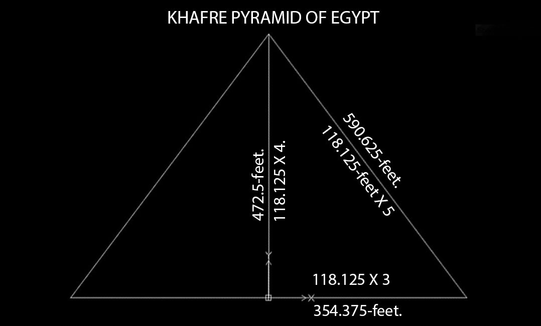
The Khafre Pyramid of Egypt was built as two 3, 4, 5 triangles placed back-to-back. The half-base horizontal was 354.375-feet or 3 X 118.125-feet; The centre vertical was 472.5-feet or 4 X 118.125 and the diagonal hypotenuse side was 590.625-feet or 118.125 X 5.
Note: The lunar year is 354.375-days (354 & 3/8ths). Also, the lunar month is 29.53125-days (29 & 17/32nds). Half the 590.625-feet face diagonal is 295.3125-feet. The sum of 118.125-days would equate to 4-lunar months of 29.53125-days (29 & 17/32nds).
The Khafre Pyramid is a pyramid of the moon and gives us all the essential information for tracking the lunar cycle. Four side lengths @ 708.75-feet per side = 2835-feet or 34020-inches. The Lunar Nutation Cycle endures for 6804-days and the half period is 3402-days.
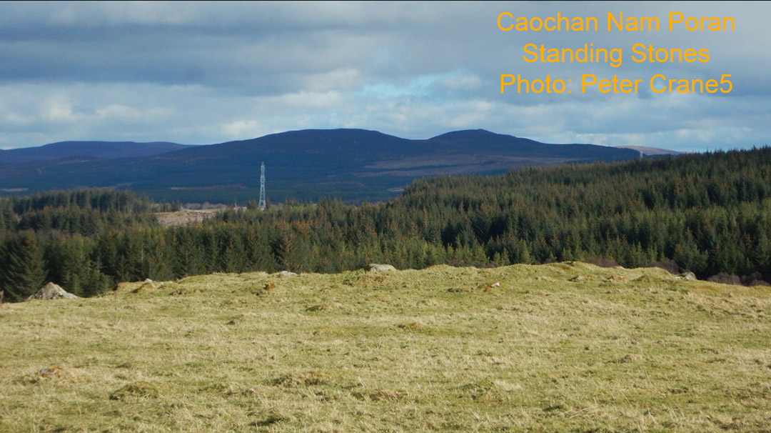
The quite wrecked Caochan Nam Poran Standing Stone site. The line from Clava Cairns extending to this ancient position bypasses close nearby Baile Na Criege Cairns.
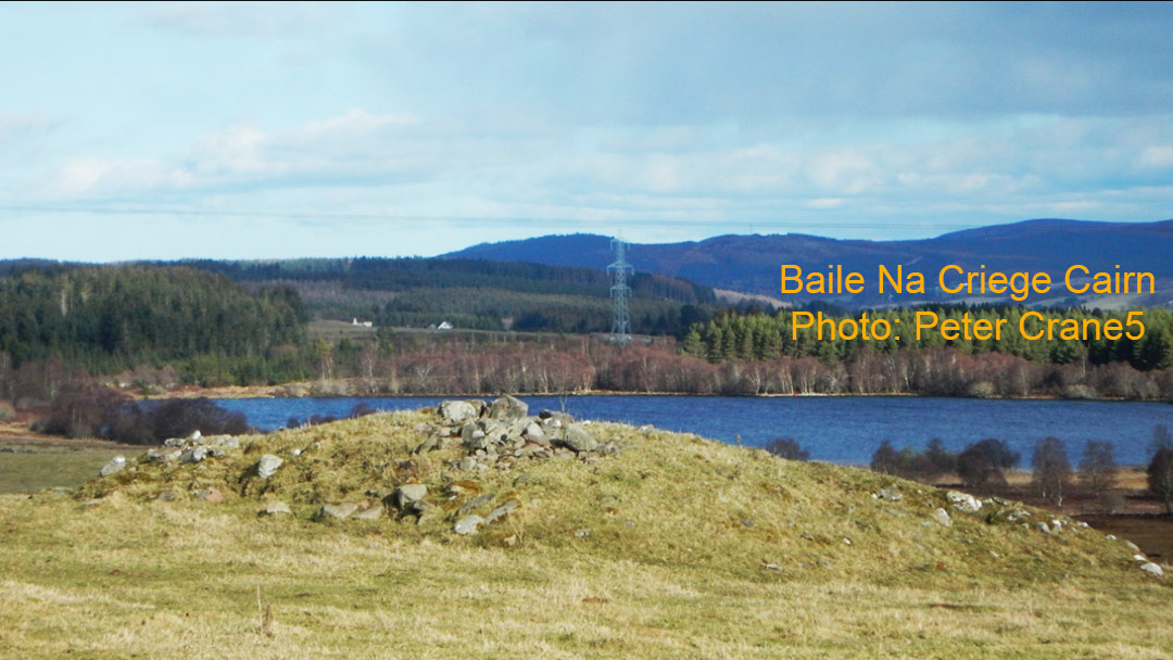
Part of the same complex and sitting northwards of Caochan Nam Poran is this cairn. All such sites should be checked thoroughly in reference to the exact positions of mountains or ranges that stand-off to the northeast-to-southeast, as well as the northwest-to-southwest. These cairned mounds will often prove to be solar observatories, for solstice and equinox rises and sets. Significant dips or humps in the outer range topography will act as precise outer-marker fix-point of these solar events and it will become apparent as to why the cairn hump was placed at that exact position.
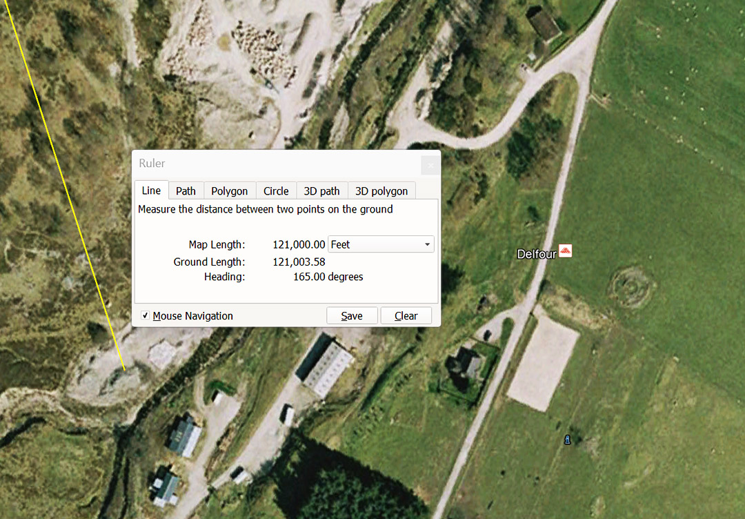
The code-bearing distance from Clava Cairns centre to the Delfour Stone Circle is 121000' or 1/3rd of 1-degree of equatorial arc for a world, considered to be (for navigational calculation purposes) 24750 English miles of 5280' each in circumference. The code-bearing angle by which orienteer, students of navigation, were guided to this location from Clava Cairns centre was 165°. The sum of 165' would equate to 1/32nd of a 5280' mile or 1/36th of an ancient Scottish mile of 5940'. Also, 16.5' (3 ancient merchant fathoms) was a rod or perch measurement and 16500' (3.125 English miles of 5280') was the league.
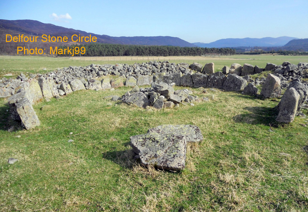
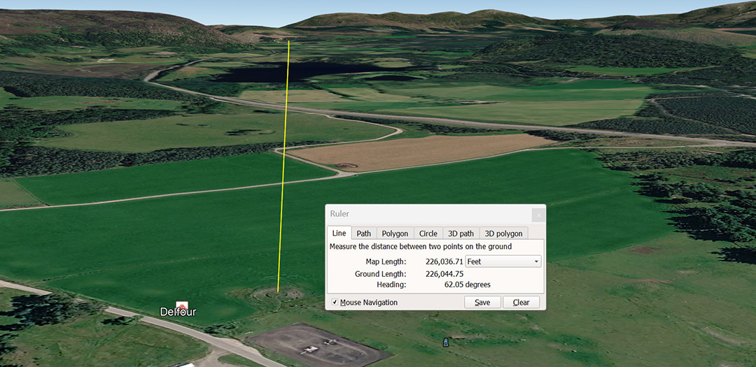
Delfour's background of hills, as seen in the Markj99 photo, shows the near position of the Summer Solstice sunrise. The exact position can be easily calculated in an astronomy program or, obviously, by on-site observation.
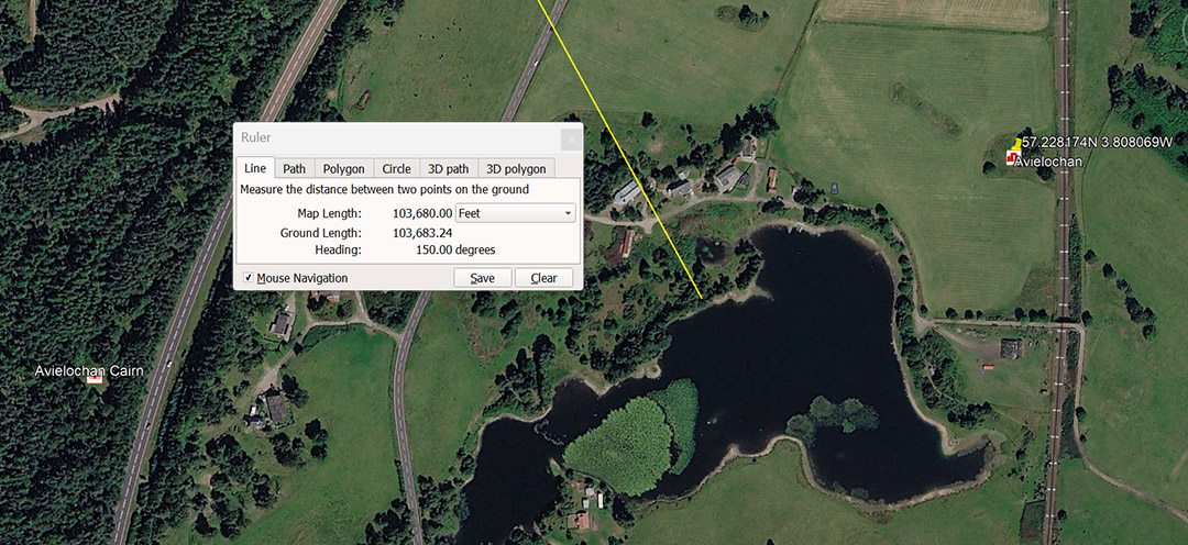
A line extends from Clava Cairns centre for a code-bearing length of 103680' and resolves within a complex of megalithic sites. Under the navigational method that used the formula for an equatorial circumference of 12 X 12 X 12 X 12 X 1.2 miles = 24883.2, the miles-per-hour rotational spin of the Earth in 24-hours was 1036.8 MPH. The distance from Clava Cairns to this location is 60000 of the largest Egyptian Royal Cubits @ 20.736" or 1.728'.
This distance is 3 ancient Egyptian Atur (20000 X the largest of 3 Egyptian Royal Cubits of 20.736").
The angle to this site from Clava Cairns is 150° (return angle 330°) providing code bearing numbers in each direction.
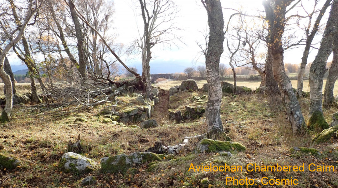
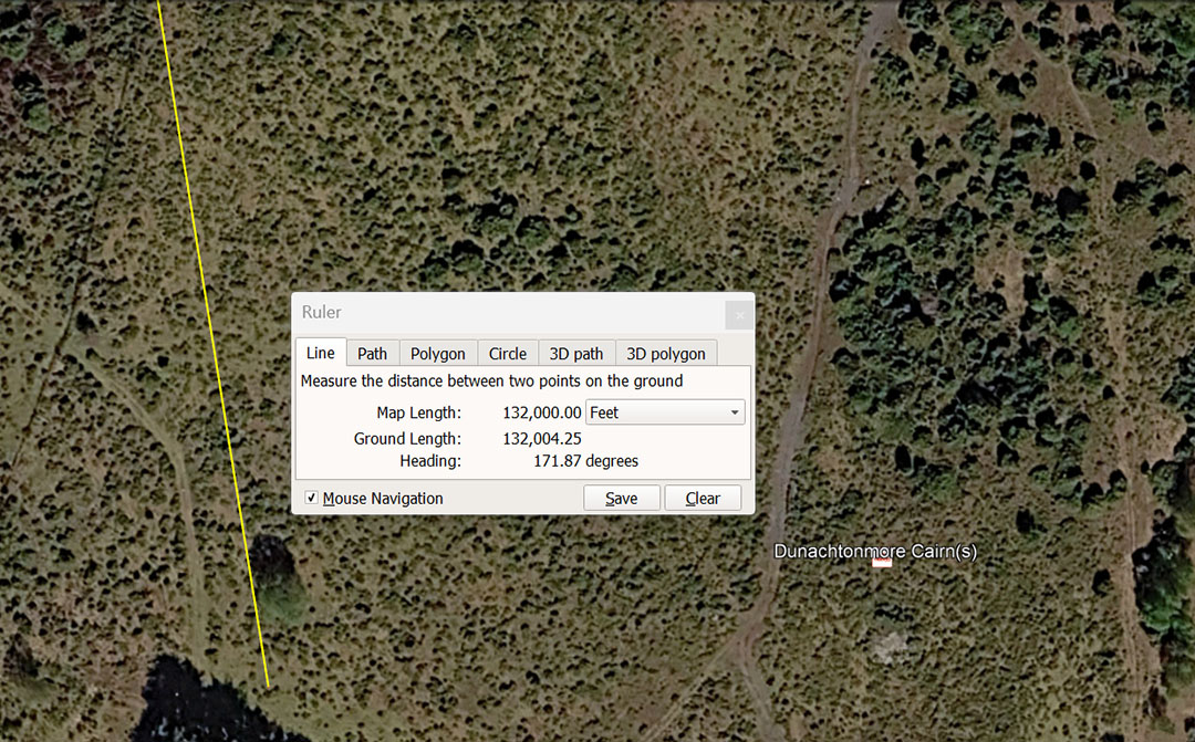
A line runs for 132000' from Clava Cairns centre @ 171.875° to Dunachtonmore Cairns and terminates between the larger cairn and the smaller one to the northwest. The distance of 132000' is 25 English miles of 5280 or 76800 mid-sized Egyptian Royal Cubits of 20.625". There were 3 variations of Egyptian Royal cubits, namely: 20.61818182", 20.625" & the largest @ 20.736".
The degree angle of 171.875° is navigational coding and, in the 5280-mile navigational method, the equatorial circumference of the Earth was read as 24750 miles or 171.875-miles X 144.
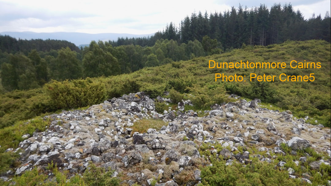
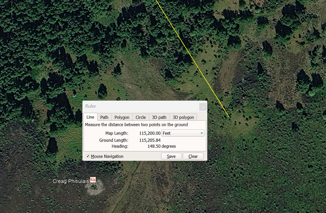
A line extends from Clava Cairns centre to Creag Phitiulas cairn hill fort, situated 115200' away at 148.5°. Using PI @ 3.125 a 115200' diameter = 360000'; using PI @ 3.15, a 115200 diameter = '362880', under the 24883.2-mile (of 5250' each) this circumference of the Earth assignment, would be 1-degree of equatorial arc.
Although the code-bearing vector from Clava Cairns sits to the side of the targeted site, it is sufficiently close for the orienteer / student of navigation to locate it.
The ancient builders of these sites had to work with the terrain and choose the best, all-round, elevated, out-of-the-bog points, where solar observatory or other attributes of vista & shelter could work at their optimum. To thoroughly learn the special numbers, students had to navigate by the numbers in both distance and angle to a pre-determined objective and every effort possible would be made to place the target as close to the leyline as possible. Geography and topography dictated the final outcome and the further afield an objective was positioned, the more difficult it was to get it to comply to code-bearing leyline. For orienteer students it was akin to "paint by numbers" ... "navigate by special code-bearing, scientific numbers".
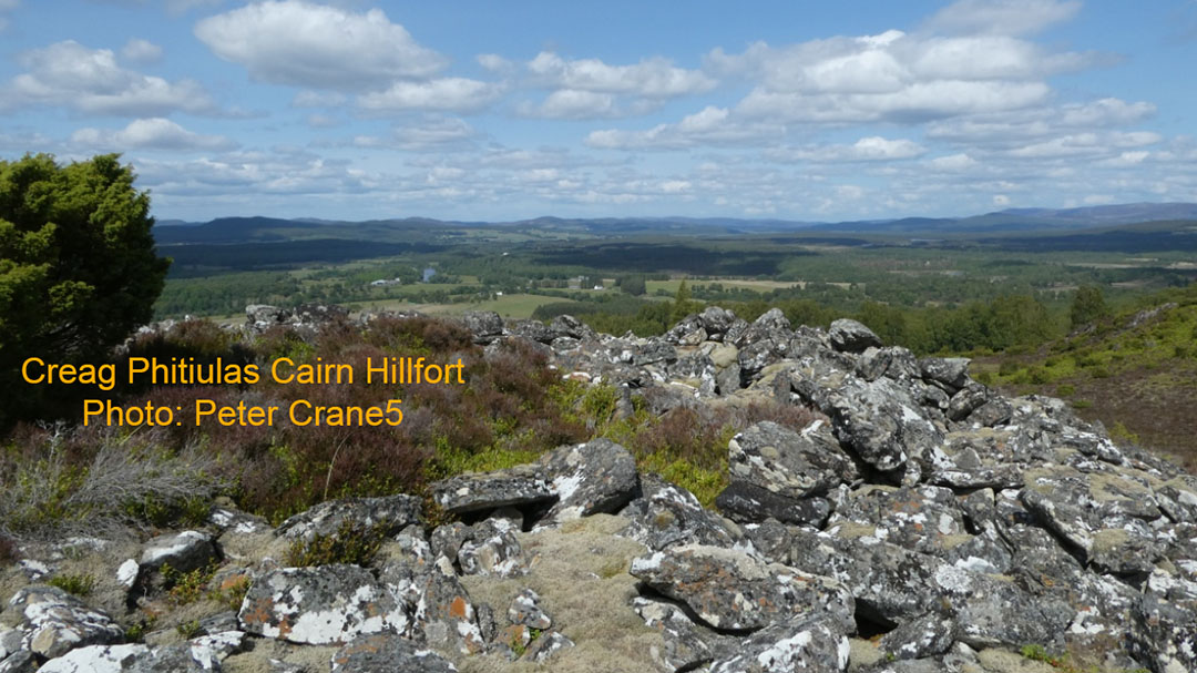
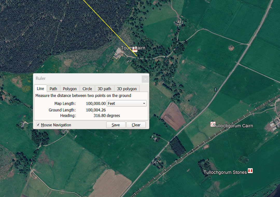
A line extends from Clava Cairns centre for 100000' @ 136.8° (return angle 316.8°). This distance would also have been mnemonically / symbolically read as 100800' in homage of the 100.8' length for 1-second of equatorial arc in the 24883.2-miles circumference of the Earth.
The 100800' would also be 16⅔ minutes of equatorial arc and 3.6 X 100800' would equate to 1° of equatorial arc. This 800' overshoot distance (100800') would be 1/1296th of the equatorial circumference of the Earth under the literal navigational system encoded in the base dimensions of the Great Pyramid of Egypt. Should the line be extended to the Tullochgorum stones, then it would comply to the 103680' code.
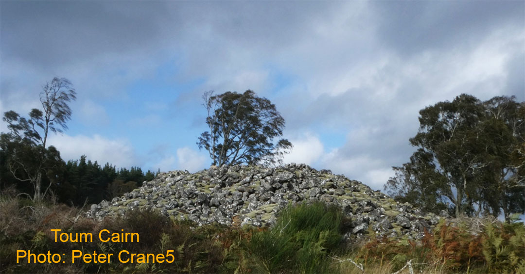
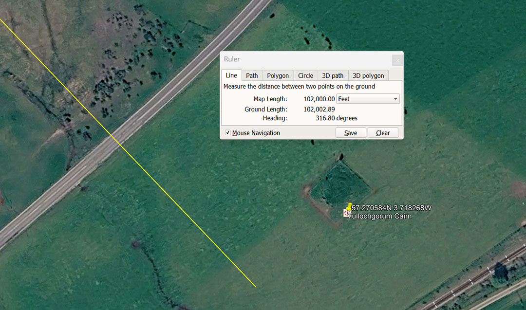
A line extends from Clava Cairns centre for 102000' @ a return angle of 316.8°. This distance would also have been read as 102400' and would relate to the 24883.2-mile equatorial circumference of the Earth. There would be 243 X 102.4-miles in the 24883.2-mile equatorial circumference.
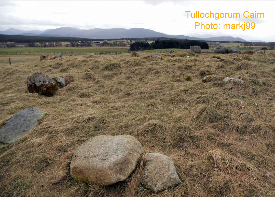
The mountain range that stands off to the southwest of Tullochgorum cairn in markj99's picture, perhaps offers a very good clue as to why this cairn was placed at this exact position. At significant points of the range there will be prominent humps or dips, and a sunrise emerging from a very recognisable, outer marker feature on the range may indicate the day of a summer solstice, equinox or winter solstice sunrise. Wherever possible, these cairn humps would have served the function of a solar observatory.
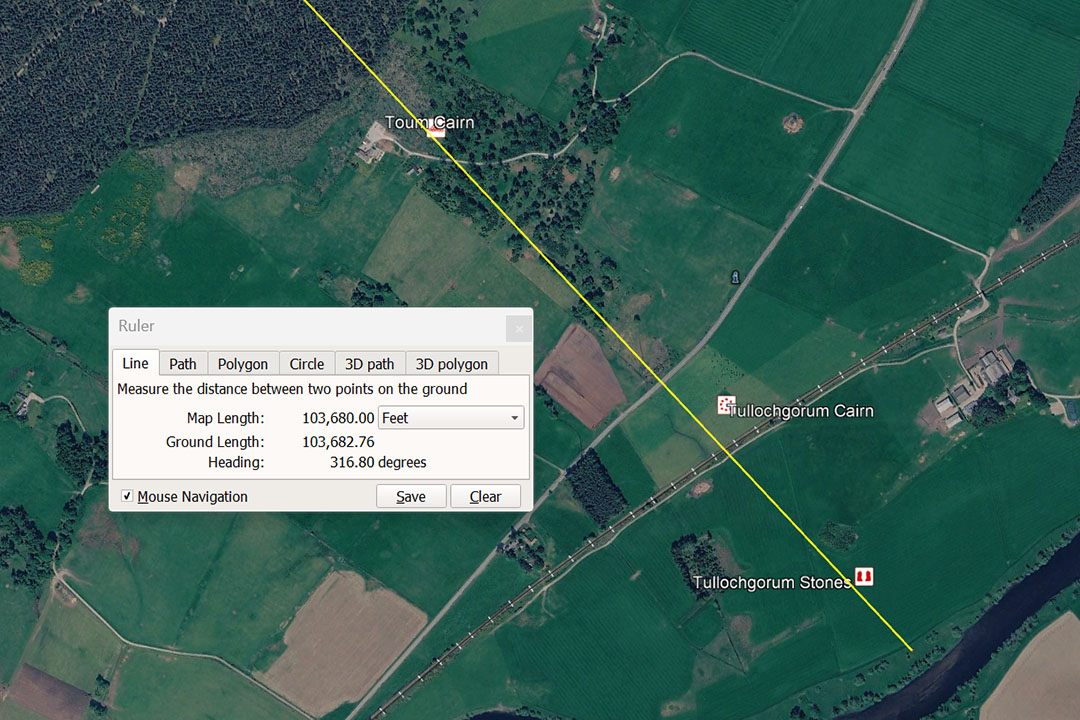
A line extends from Clava Cairns for 103680' @ 136.8° ... (316.8° return) to Tullochgorum standing stones. This degree angle is an increment in the 24750-mile equatorial circumference navigational system.
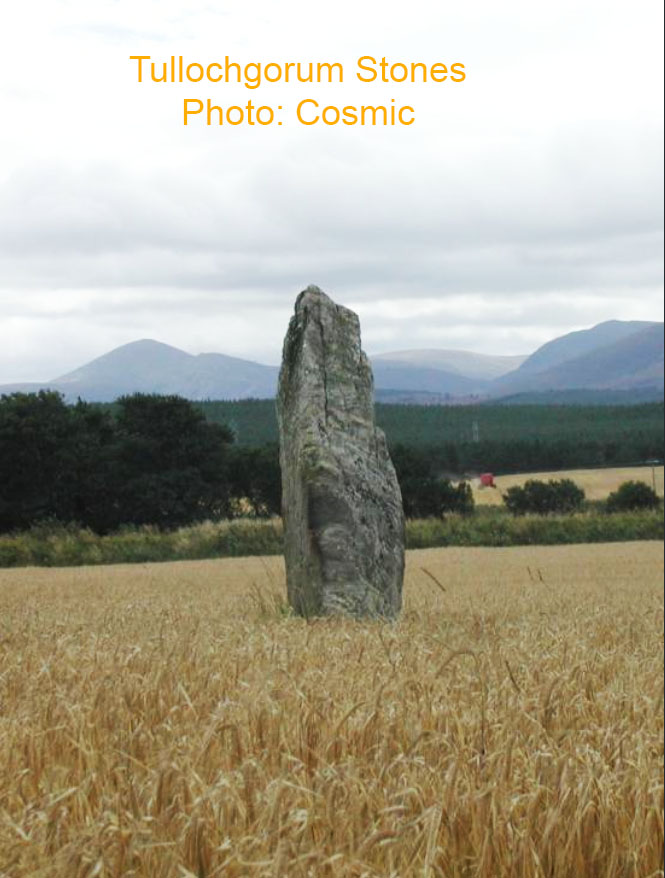
One major component of the Tullochgorum alignment of stones and some more impressive mountain range outer-marker targets for solar fixes at the summer or winter solstice sunrises or the equinoxes.
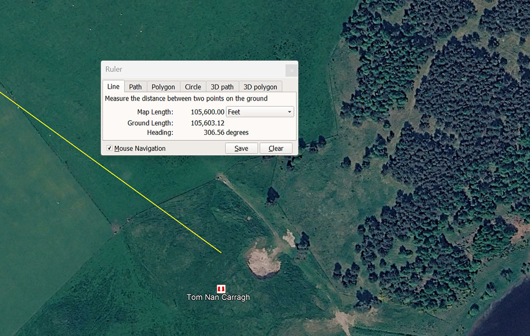
The line-up of 6 impressive standing stone at Tom Nan Carragh are situated 10560' from Clava Cairns centre @ 126.5625° return. This distance is 20 English miles of 5280' or 6.4 leagues of 16500'.
This angle is lunar year coding and there would be 28 periods of 12.65625-days (12²¹⁄₃₂) or 303.75-hours) in a lunar year of 354.375-days. Also, under the lunisolar, Sabbatical Calendar count, the solar period was 7 X 365.25-days (2556.75-days) and the lunar count was 7.2 X 354.375-days ( 2551.5-days or 20.16 X 126.5625-days).
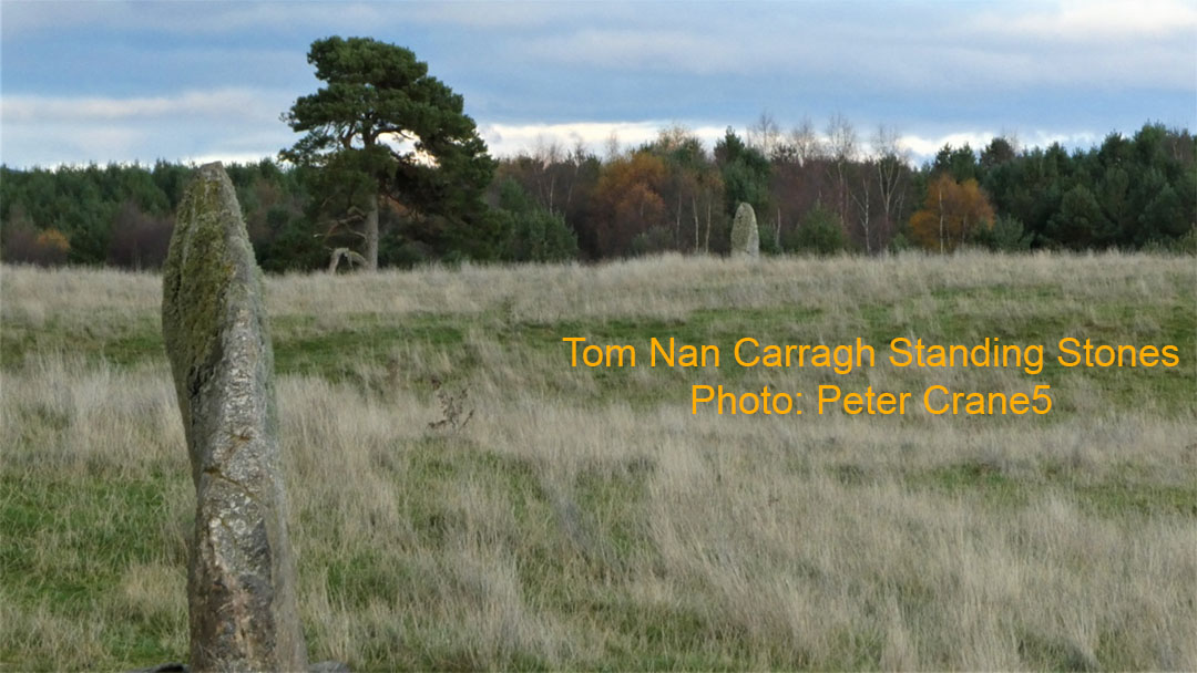
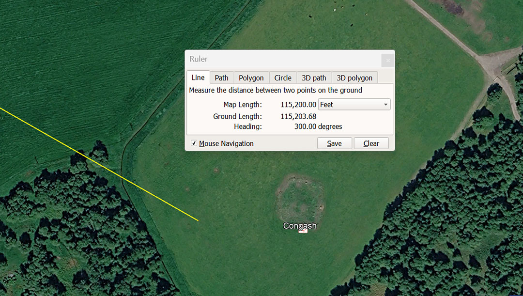
A line extends from Clava Cairns for 115200' @ 120° ... (300° return to Clava Cairns) ... to Congash Cairn, where there are engraved Pictish designs on boulders
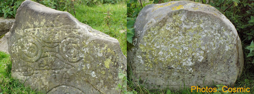
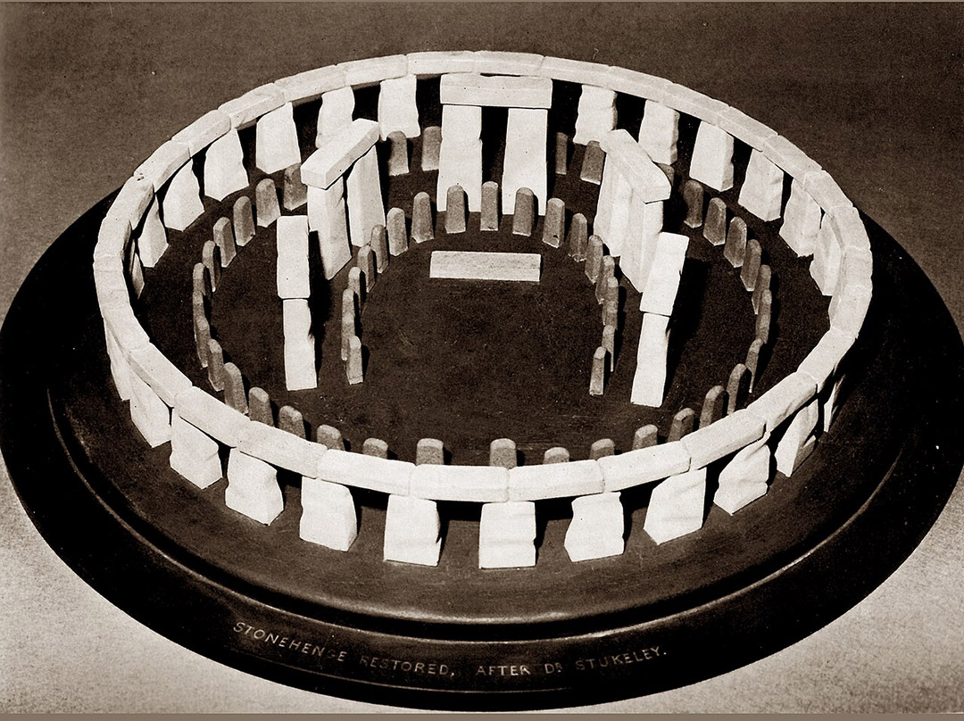
This is a model of what Stonehenge looked like when in its pristine, original condition, showing the 30 Lintel stones lying horizontally atop the Sarsen circle.
Mathematically, the outer circumference of the Sarsen Circle was determined by three PHI reductions of a marked diameter circle of 466.56', further out on the Stonehenge site. Therefore 466.56' diameter ÷ 1.618034 3 times = 110' of outer diameter for the Sarsen Circle.
Because 110' is a diameter based upon the "11" family of numbers, the PI formula (3.1416 to 1) to turn diameters into a circle is 1728/550ths or 3.141818182. This version of PI X 110' = 345.6' of circumference (11.52' X 30 Lintels).
The sum of 345.6-miles equates to 1/72nd of the 24883.2-mile equatorial circumference of the Earth. At the same time, 11.52-miles would be 1/2160th of the equatorial circumference and this circuit of 345.6' on the Sarsen Circles outer rim would equate to 1/100ths of an Egyptian Atur of 34560' or 20000 X 1.728'.
This means that the outer face of each Lintel stone was 11.52' or 6 & 2/3rds Egyptian Royal Cubits of 20.736" each.
At the same time, the Sarsen Circle was slightly elliptical, with one cross-measure of the inner face diameter being 100', while, 90° opposed, the cross-measure diameter was 100.8'.
The 100' diameter meant that the circle based upon that length encoded (X Pi @ 3.1416') generated a circumference of 314.16'. The circumference also included (for mnemonic recall) all the variations of PI ... (3.125, 3.15, 1728/550, 22/7) used in ancient calculations, depending on number families requiring computation.
The 90° opposed diameter of 100.8' was 1-second of equatorial arc for the Earth and would mnemonically recall other variations in navigational methods ... 100.833333' or 101,376', etc.
Note: The 115200' distance of Congash Cairn from Clava Cairns sits at a return angle of 300° ... 151200' X 300 = 345600. '
Note 2:: In 1947 renowned English Egyptologist, Dr Iorwerth Eiddon Stephen Edwards published the incorrect measurement of the Menkaure Pyramid of Egypt as 356.5', in his book, The Pyramids of Egypt. This mistake continued to be published in later editions all the way up to 1986 and is still widely cited in standard reference books, encyclopaedias and on websites of the worldwide research community (including this author's website).
Sir William Flinders Petrie had surveyed it in 1880-1882 to be about 346' long and that has been verified by the latest technologies and surveys, despite Menkaure Pyramid's dilapidated condition.
It was, most assuredly intended by its builders to be the code bearing length of 345.6', or 200 Egyptian Royal Cubits of 20.736".
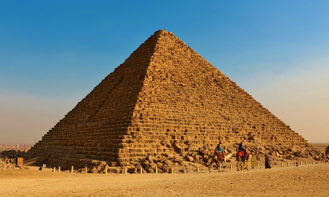
Menkaure Pyramid, intended by it's builders to carry the code-bearing length of 345.6', or the exact outer rim circumference intended for the Sarsen Circle Lintels at Stonehenge.
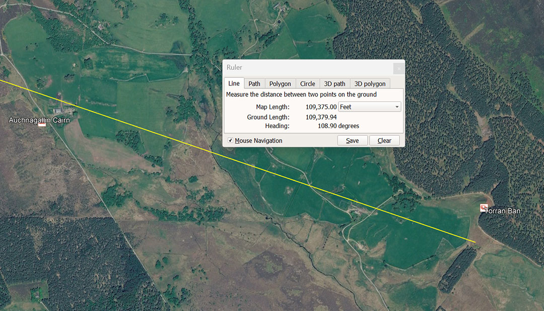
Torran Ban Hillfort. is situated 109375' from Clava Cairns on a degree angle of 108.9°. The line to Toran Ban bypasses close to Auchnagallin Cairn, which was coded to be on the same trajectory at 102400' from Clava Cairns centre.
The distance of 109375' = 112500 Roman overland feet of 11.6666" or 56250 Swedish overland Rydaholmsalm or 3.125 Swedish 'Mil of 35000',
Note: 1089' X 120000 = 130680000' or 24750 miles of 5280'.
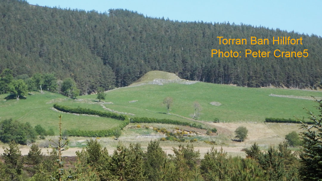
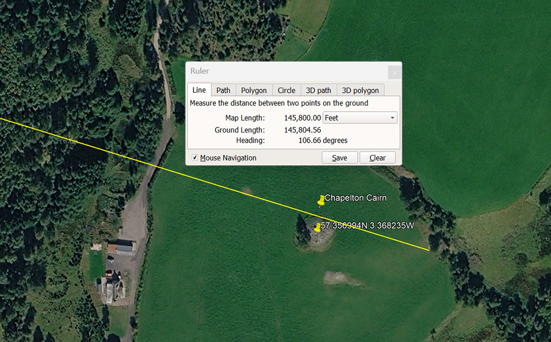
A leyline extends from Clava Cairns for 145800' @ 106.6666° to the Chapelton Cairn. This distance is 150000 Roman feet of 11.664", 30000 Roman Paces of 58.32" or 30 Roman Miles of 4860', It is also 75000 Swedish Rydaholmsalm.
The degree angle codes the ancient measurement that became the ancient French Pied du Roi of 1.06666' and the sum of 106.6666' would be 100 Pied du Roi.
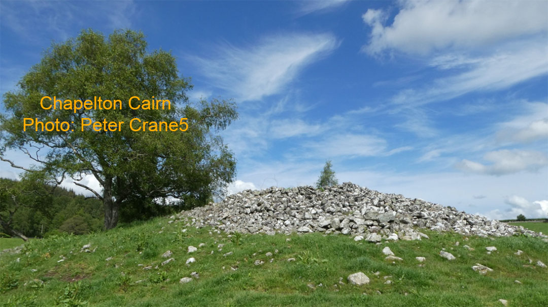
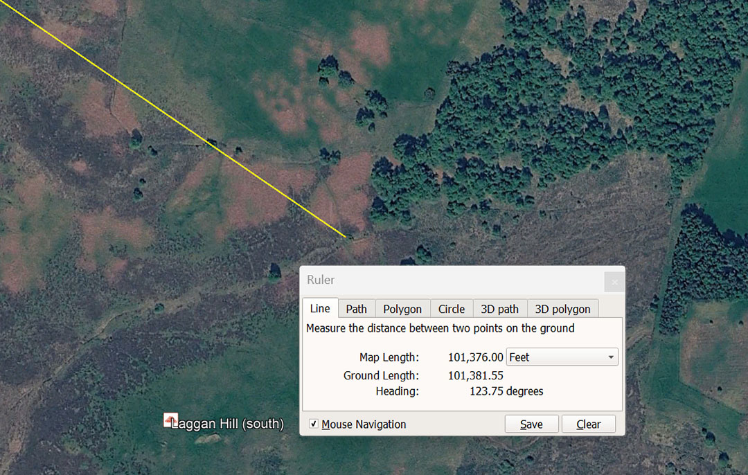
The distance from Clava Cairns centre to Laggan Hill South works well at the code-bearing distance of 101376'. This distance is 19.2 miles of 5280'. In the ancient configuration of the TRUE equatorial circumference of the Earth (in factorable numbers for fluid divisions, the Earth was seen as 24883.2-miles of 5280' (not the actual 24901-miles). This rendering put the size at 131383296' in which 364953.6' was 1° of arc; 6082.56' was 1-minute of arc and 101.376' was 1-second of arc.
The degree angle is 123.75 and codes the 24750-mile equatorial circumference of the Earth. The sum of 24750 ÷ 2 = 12375. Again, navigating by the numbers would get the orienteer/ student navigator close enough to locate the site.
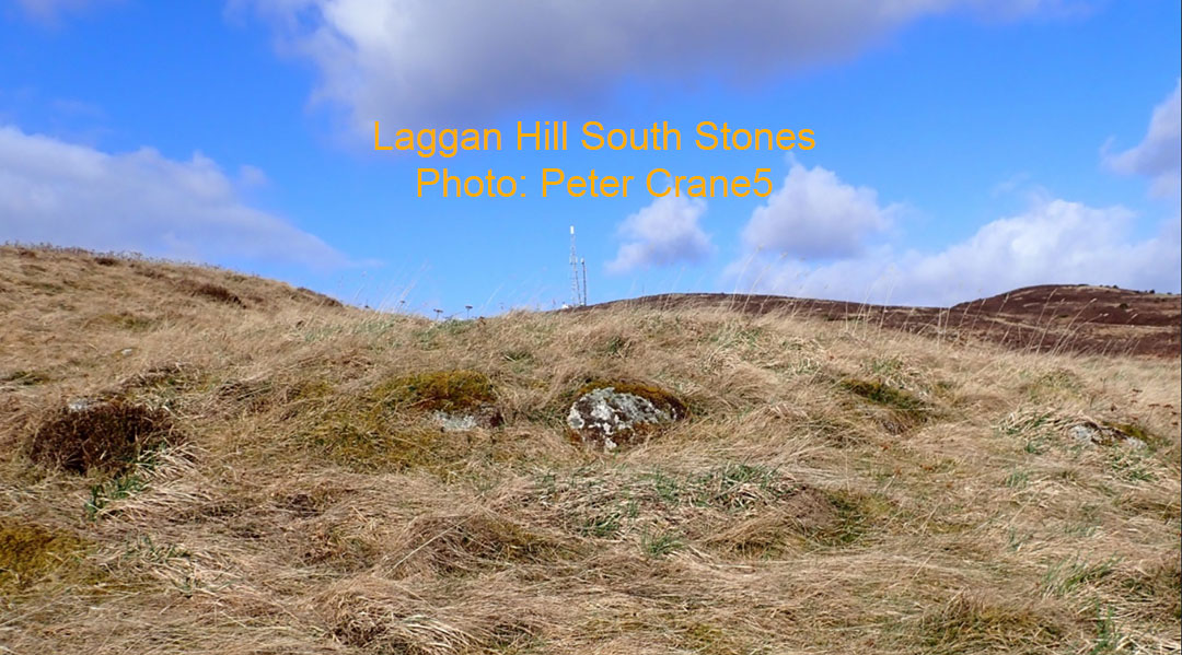
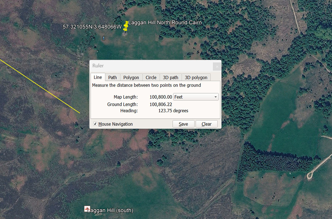
Alternatively, the distance from Clava Cairns centre to Laggan Hill North, might have been tailored to be a lesser distance @ 100800', but still on the angle of 123.75°, The sum of 100800' is 19.2 Greek miles of 5250'. This coding is for the 24883.2-mile equatorial size of the Earth using the lesser mile (130636800') in which 1-second of equatorial arc would be 100.8'.
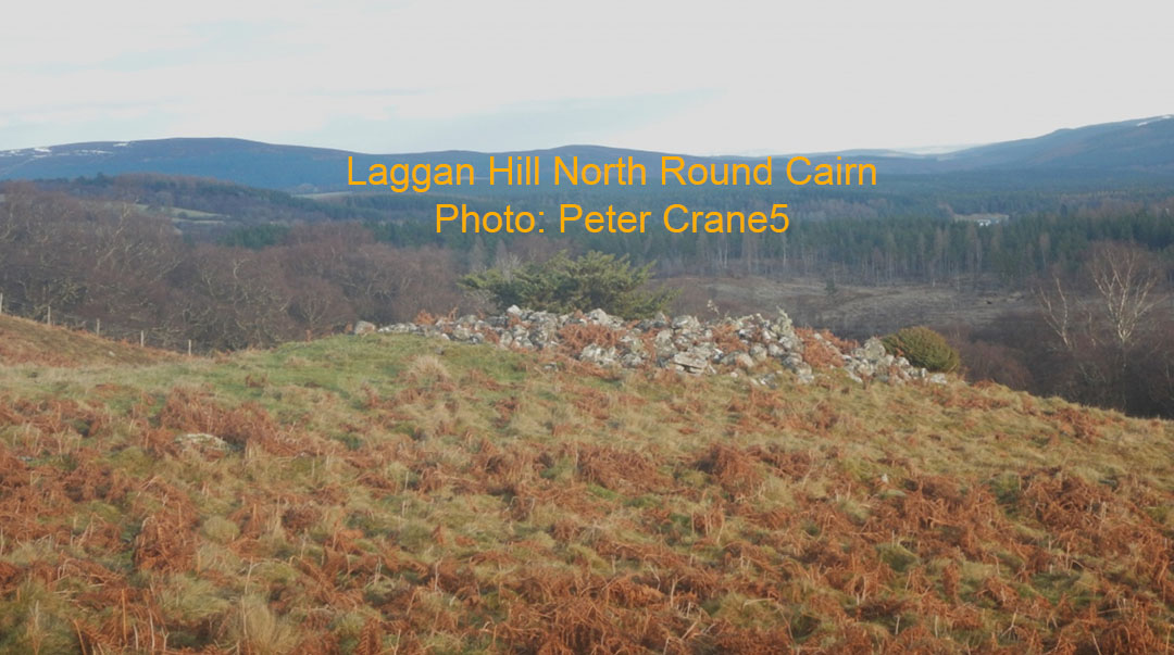
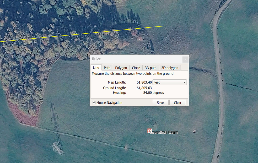
The 61803.40' number will look confusing, but it is derived by 10 ÷ 1.6180339 (PHI) to create the PHI reciprocal of 6.18034. These two numbers were highly important to ancient civilisations and the PHI ratio is fully represented in the built-in dimensions of the Great Pyramid of Egypt.
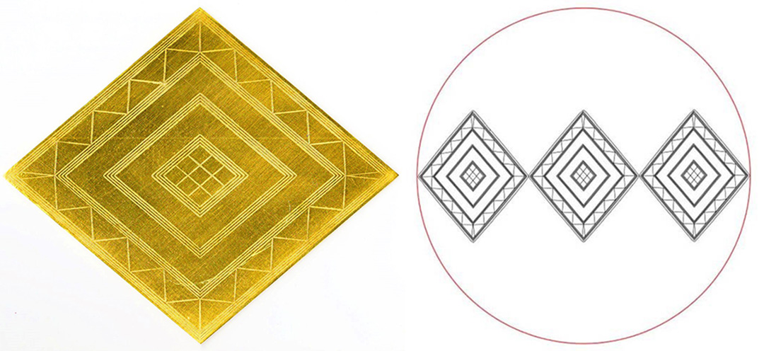
In the year 1808, Sir Richard Cott Hoare and William Cunnington conducted a significant archaeological excavation into a tumulus mound, situated only a short distance from the Stonehenge monument.
Workmen uncovered the remains of a tall, well built man lying in a fully extended position with his head pointing toward the south.
On his chest was the gold lozenge, shown in the picture above, and accompanying this were grave-goods attesting to the individual's importance ... He also seems to have been a surveyor:
'Fragments of wood that the excavators had thought were the remains of a shield were now described as the remains of an alidade (a sighting rule) and wooden drawing board or plane table' (See: Stonehenge, Neolithic Man and the Cosmos, pg. 508).
. The Bush Barrow Lozenge suffered end-point buckling and compression during the 4000-years underground, so a single "true" decimal measurement does not exist uniformly across its somewhat distorted face. However the officially recognised range of what would be its pre-burial measurements (in millimetres) is:. Long width: 185.5 mm to 186 mm (7.323" maximum); Short width: 156mm to 157.5mm (6.2" maximum).
Under the ancient code-bearing system the artefact would comply to 7.29" (7²⁹⁄₁₀₀) X 6.18034" (Based upon PHI it doesn't translate to a full fraction). It's very apparent that the original fabricators of the Bush Barrow Lozenge intended it to comply to 7.29" and 90-degrees opposed to 6.18034", for the following reason:
1. 7.29" is a strong lunar code. It is also 1/8th of what became (a few thousand years later) the Roman Pace of 58.32". The Druidic bronze plaque, lunisolar Calendar, found in Ain, France has a top length of 58.32" or 4.86' ... or 8 X 7.29".
2. Ancient mathematicians used the PHI reciprocal to "square the circle" in order to make perfect capacity tubs for dispensing exact quantities of grain in marketplace transactions.
The above picture shows three widths of the 6.18034" lozenge being used to create a tub base that would have exactly 270" sq of surface, and with sides protruding 8" above the base = 2160" cu. ... the ancient English Bushel capacity. See: THE WINCHESTER BUSHEL https://www.celticnz.co.nz/StirlingJugStoup/StirlingJugArticle.html
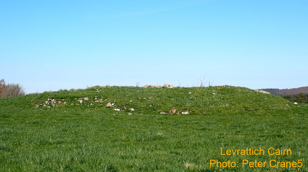
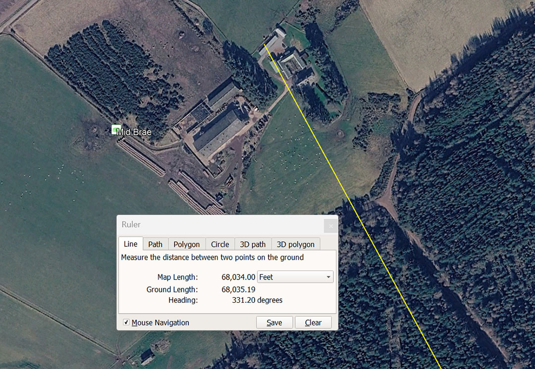
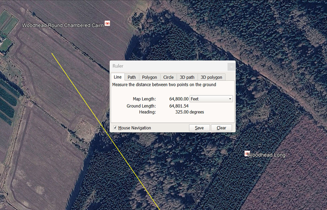
A leyline extends from Clava Cairns for 64800' to Woodhead Round Chambered Cairn @ 325°. This distance is 1/2016th of the 130636800' equatorial circumference of the Earth. The sum of 2016' is 1/3rd of 1-minute of equatorial arc. This distance is 37500 Egyptian Royal Cubits of 20.736" or 1.875 Egyptian Atur. It is also 60750 Pied du Roi or 6.075 Lieue. It is also 66666.66666 Roman feet of 11.664" each or (13⅓) Roman miles of 4860' (of 12"). The 64800' distance also converts to 33333.33333 Swedish Rydaholmsalm.
The degree angle of 325° is used for calendar calculations. In a mathematical string 32.5 would generate : 3.25, 6.5, 9.75, 13 ... 26 ... 39 ... 52 ... 364, etc. Under the ancient agrarian calendar count there were 13 months in a year, each of 28-days or 364 days per year or 26 bi-weeks and 52 weeks of 7-days. This system was left to run for 7-years, accruing 1.25-days of error per year. In the 7th or Sabbatical Year there was a 9-day festival where intercalary days were added to correct the calendar back to the 365.25-day year and the count could start anew.
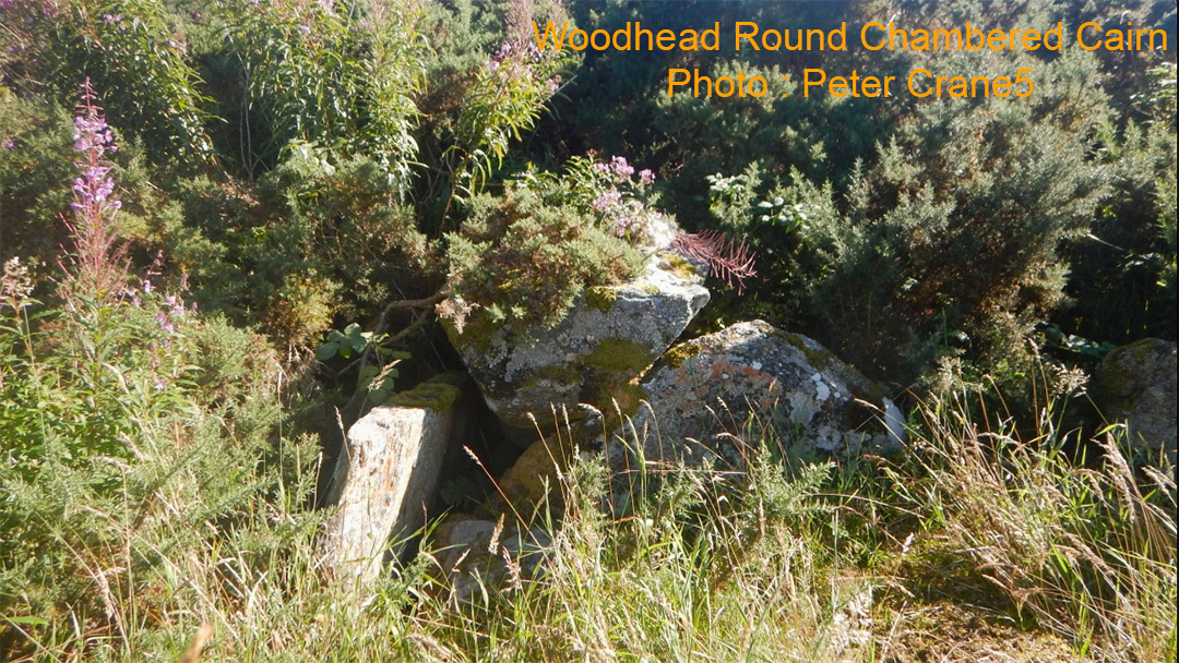
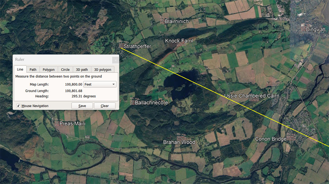
A line extends from Clava Cairns for 100800' @ 295.3125, dissecting the positions of several close-by or clustered sites and resolves near the Strathpeffer Pictish symbol stone.
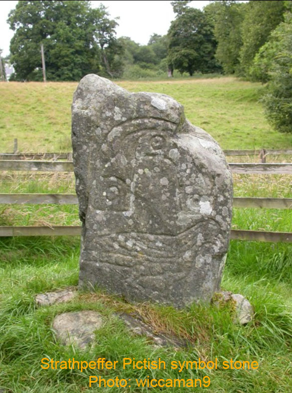
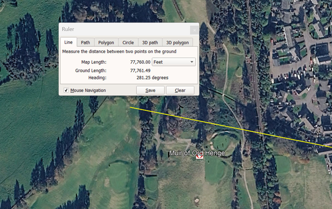
In a world configured to be 24883.2-miles in equatorial circumference, 777.6-miles would be 1/32nd. The return angle is 101.25, so this angle is coded both ways. The 101.25° is lunar and in a mathematical string generates all the essential lunar codes, for example: There are 3.5 X 101.25-days in the 354.375-day lunar year; There are 67.2 X 101.25-days in the 6804-day Lunar Nutation Cycle. Egypt's Khafre Pyramid of the Moon @ 2835' for a full circumnavigation = 28 X 101.25'.
The angle of 281.25° is dynamic and, in a mathematical string generates both navigational and lunar codes.
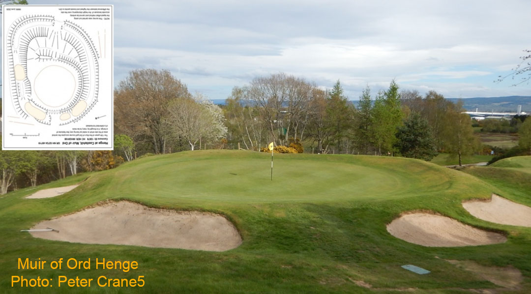
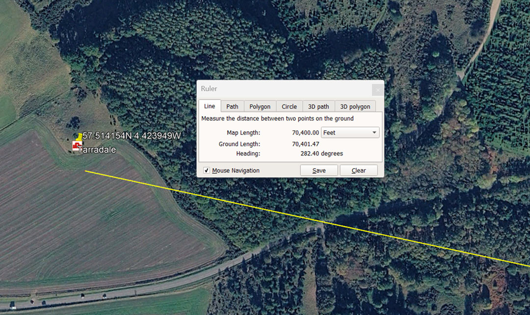
Students of navigation, assigned to find this objective would travel a coded distance of 70400' (13⅓ miles of 5280' each) @ a coded return angle of 102.4° . Note: in the 24883.2-mile equatorial circumference of the Earth, the sum of 102.4-miles would be 1/243rd segment.
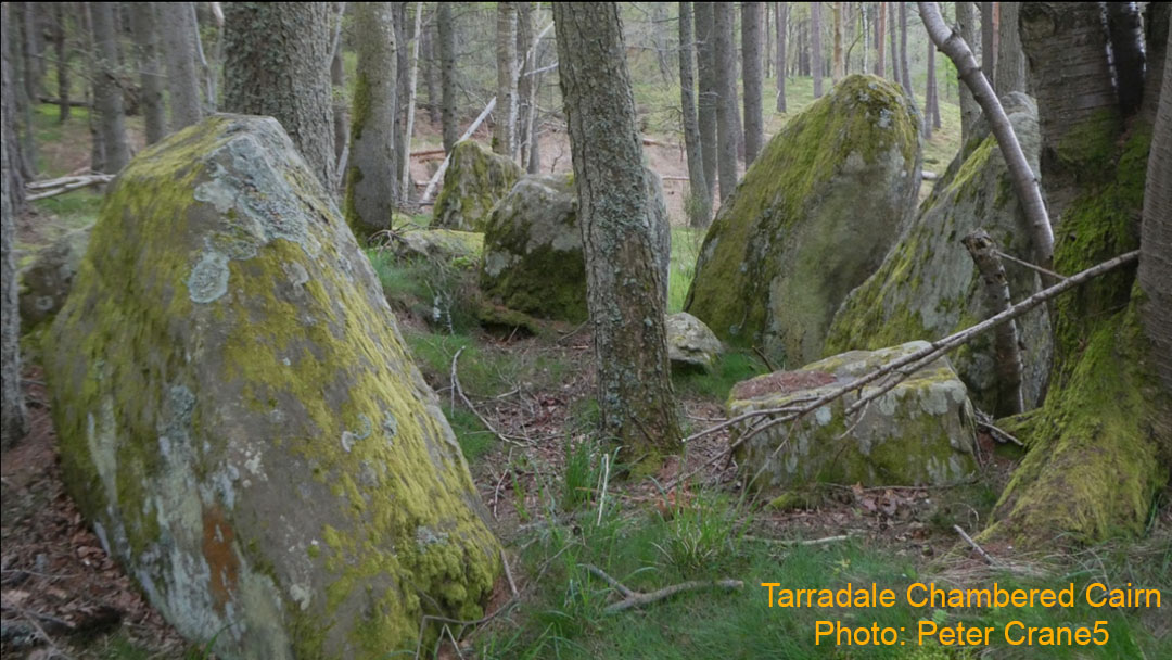
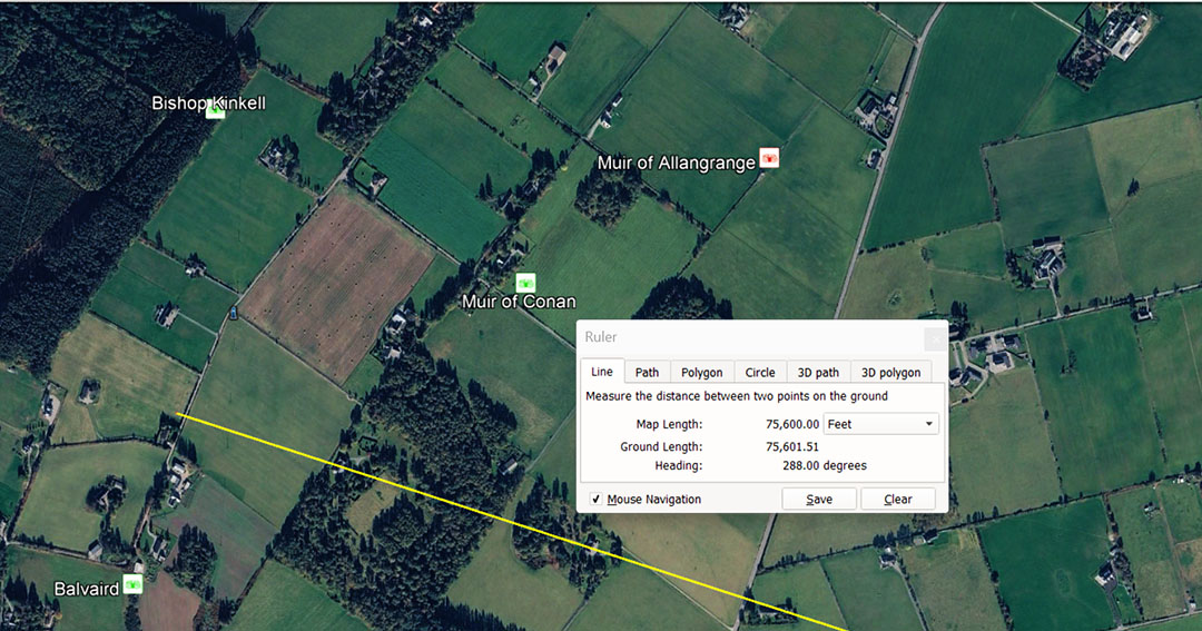
Balvaird Chambered cairn sits slightly to the SW of a cluster of ancient sites. The Great Pyramid was designed and built to be 756' long per side. The Egyptian pyramid acre was 28800'sq.
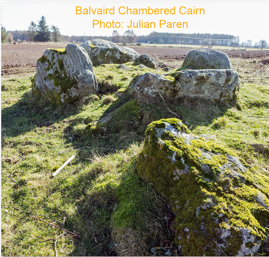
The now wrecked chambered cairn that would have once provided shelter for students of navigation out-and-about as orienteers, learning their art by finding the way to land targets, for years, before being entrusted with navigating a ship at sea. To find this location they were obliged to travel for 75600' at an angle of 288°. The sum of 75600' is 14.4, of (what later were called Greek miles), of 5250' (5000 Greek feet of 12.6"each). The same distance is 7200 Hebrew Reeds, 144 short stadiums (stadia), or 120 long stadiums (630'). It is also 44000 Egyptian Royal Cubits of 20.61818182". There are 440 of the smallest Egyptian Royal Cubits in the 756' length of the Great Pyramid of Egypt.
The angle of travel to find this site was coded to be 288°. The ancient pyramid acre of the Egyptians was 28800 sq feet. The Geomancer's mile of England, cited by John Michel, was 14400' (half of 28800). The value, 288 is one of the most dynamic numbers used for ancient calculations. For example, there would be 4500 X 288 seconds of equatorial arc in the 1296000-seconds or the 360° compass. Also in the 25920-year duration of the Precession of the equinoxes the sum of 288-years would be 1/ 90th.
The nearby sites that could be found using this vector of travel are: Muir of Conan (another chambered cairn providing shelter for the orienteers), Muir of Allangrange (chambered cairn) and Bishop Kinkell (chambered cairn).
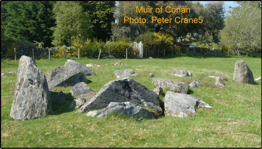
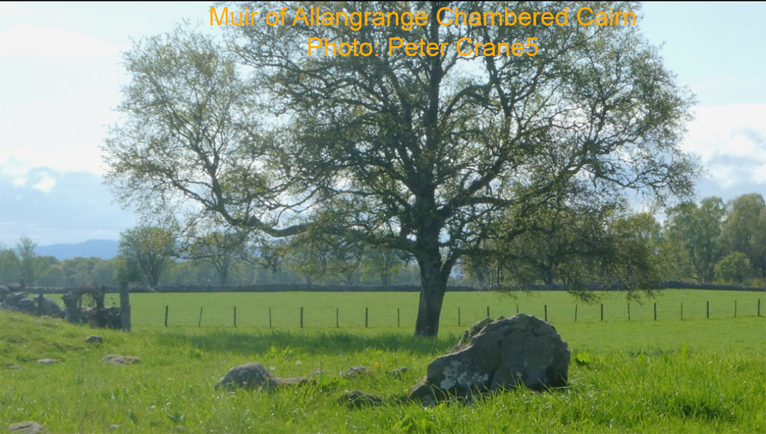
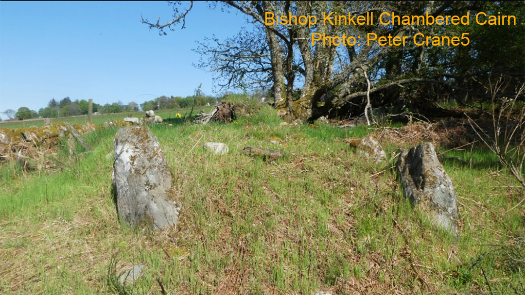
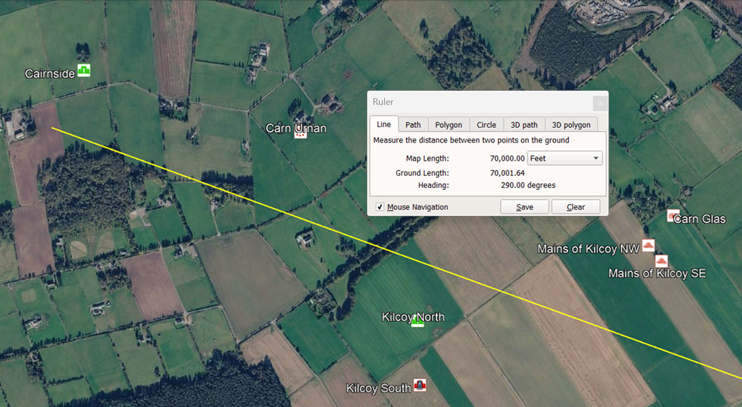
Another coded vector nearby runs through the cluster of Kilcoy sites to Cairnside, situated 70000' from the centre cairn at Clava on a return angle of 110°. This distance is 13⅓ miles of 5250'. The line bypasses Carn Urnan standing stone circle, situated a coded distance of 68040' out from Clava centre. This number relates to the 6804-day Lunar Nutation Cycle, where the Moon goes from Lunar Major Standstill to Lunar Minor Standstill, then returns to Major Standstill.
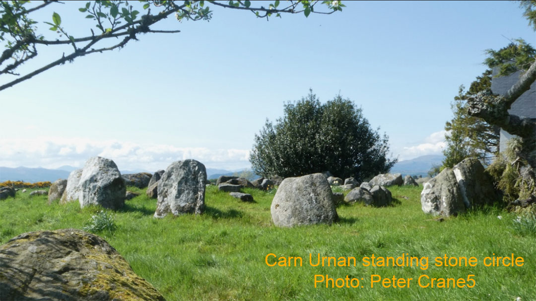
Cairnside was also a chambered cairn, suitable for student occupation out of the elements. It is nowadays called a chambered tomb, which is an obvious misnomer, as it was most certainly built for the living and not the dead.
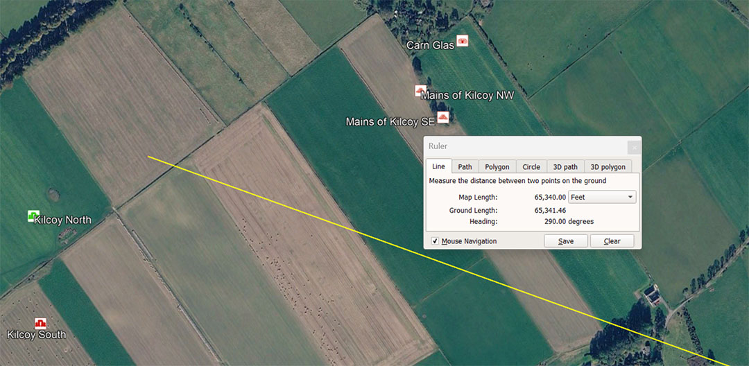
On the same angle of incidence, the vector dissects the cluster of Kilcoy structures at a coded distance from Clava of 65340'. This is navigational coding and 65340' would be 1/2000th of the equatorial circumference of the Earth under the 130680000' navigation method (24750 miles of 5280') which was based upon the "11" family of numbers ... link, foot (of 12"), fathom (of 5.5'), rod, chain, furlong, mile and league.
At the same time, the distance into the Kilcoy set of structures could be read as residing 65318.4' from Clava and relate to the 130636800' reading for the equatorial circumference of the Earth or 12 X 12 X 12 X 12 X 1.2 miles of 5250', equating to 24883.2-Greek miles (based upon the number families of 6 & 7). Under this reading the 65318.4' would be 1/2000th of the equatorial circumference.
Within the cluster being dissected are Kilcoy South (chambered cairn ... misnomer tomb ... 65340' @ 289.375° ... return = 109.375°), Kilcoy North (chambered cairn ... misnomer tomb ... 66000' using the same degree angle as nearby Kilcoy South), Mains of Kilcoy ... (cairn), Mains of Kilcoy NW (cairn) & SW as well as Carn Glass (yet another Chambered Cairn or sleeping accommodation for students of navigation).
All of these are reachable as a cluster @ a coded distance of 64000' from Clava @ 291.6° (This value introduces yet another system of metrology adopted by the late-era Romans). The sum of 2916' would equate to 3000 Roman feet of 11.664" or 600 Roman Paces of 58.32". This alternative measurement standard is found on British sites dating to 3000 BCE.
It appears that this region was a major staging area and hub for orienteers coming and going, and qualified as an open-air university in its own right or a major satellite to the Clava Cairns facility.
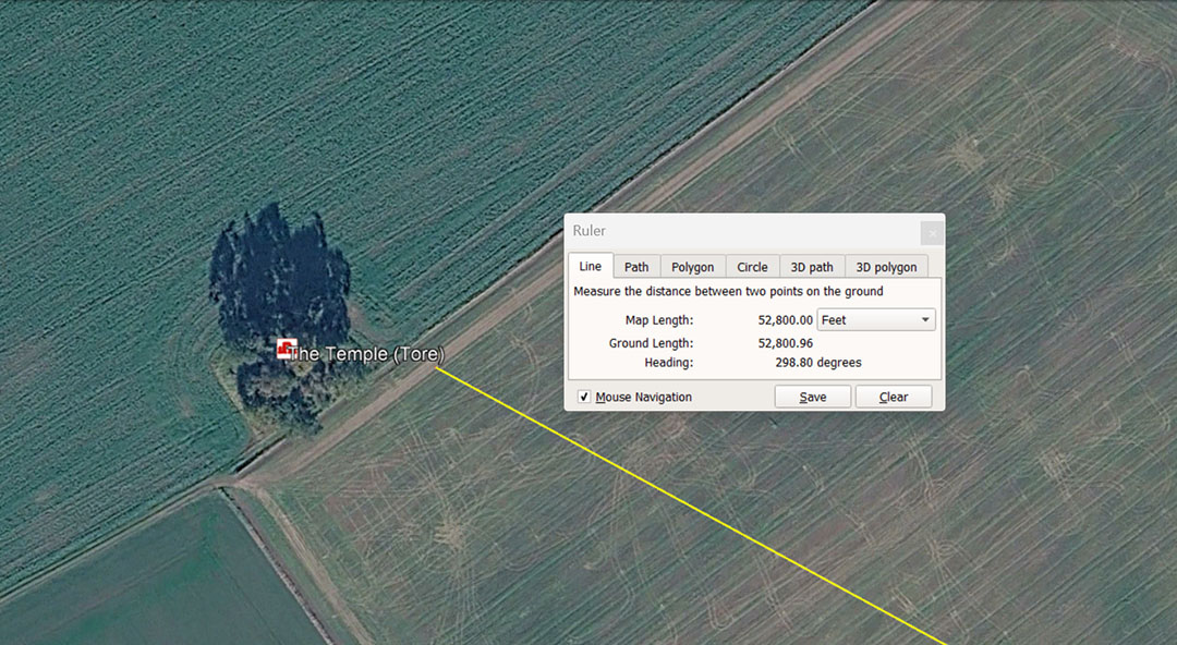
The Temple (Tore) sits 52800' from Clava Cairns Centre @ 298.8° (return angle 118.8°). The distance is 10-miles of 5280' each and the angle code is an expression of the ancient Scottish mile of 5940' (1 furlong longer than the English mile). Therefore, 5940 ÷ 1188 = 5.
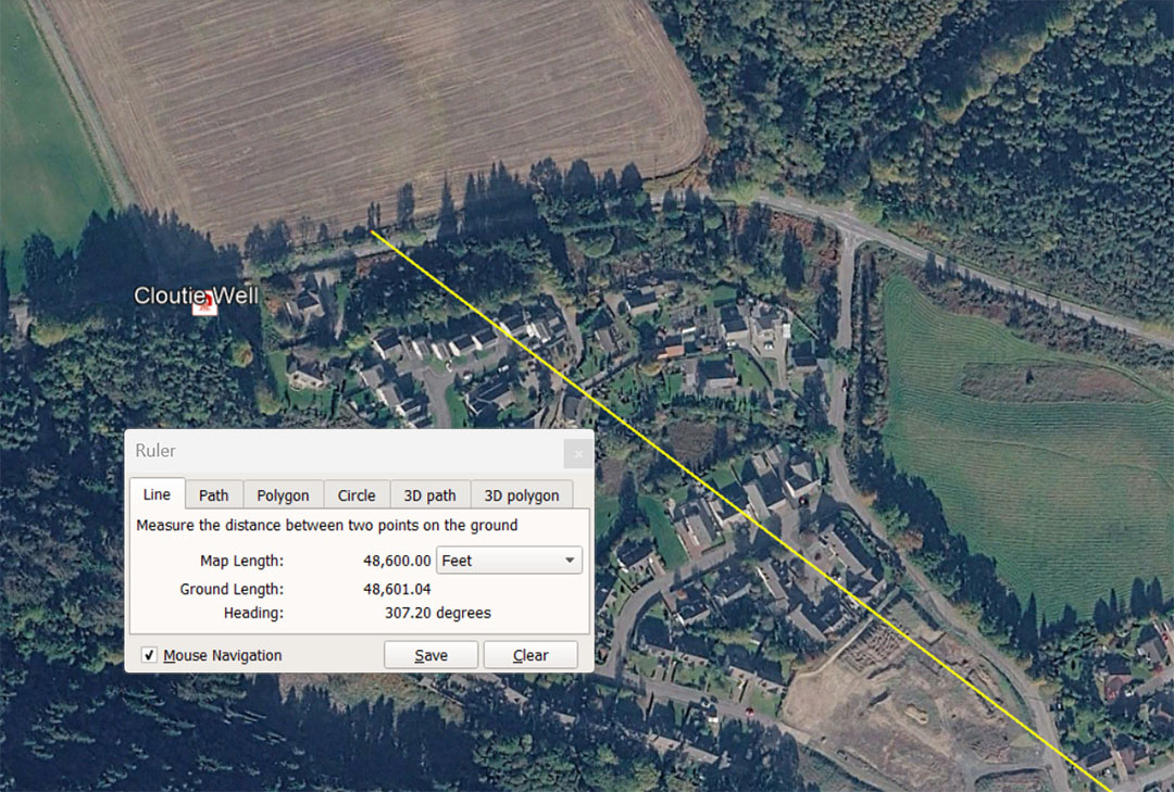
A vector extends from Clava Cairns centre for 48600' @ 307.2° to the Cloutie Well site and resolves at the edge of the field eastwards. This distance is exactly (what became at a late era) 10 Roman Miles of 4860' each (50000 Roman feet of 11.664" each). The code associated with the 307.2° angle is related to the 24883.2-mile equatorial circumference of the Earth in which 307.2-miles would be 1/81st therefore 307.2 X 9 squared = 24883.2.
In the above picture a smudge area in the field might indicate an ancient structure eradicated by centuries of ploughing and cropping. Also to the ESE another field appears to show a fenced off mound akin to a barrow?
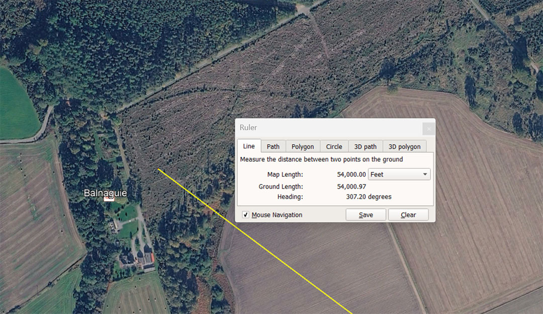
A vector extends for 54000' from Clava Cairns Centre to Balnaguie Chambered Cairn @ 307.2°. The distance is 11⅑ Roman miles of 4860'. A string based upon 307.2 generates navigational codes.
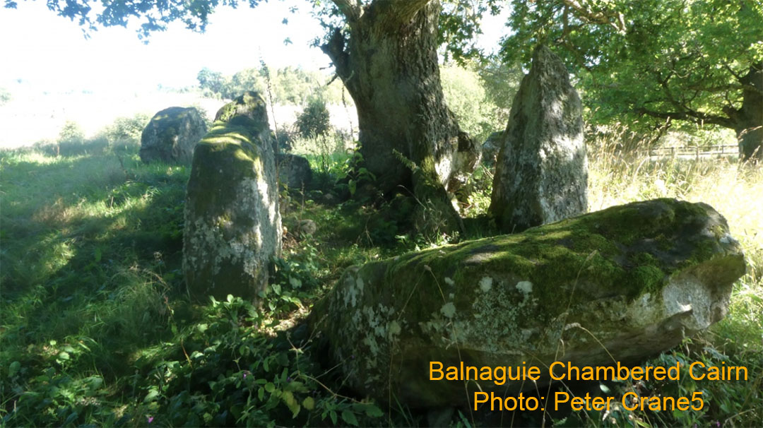
The disheveled remnants of Balnaguie Chambered Cairn, which once acted as a shelter for students of navigation, out-and-about honing their skills through orienteering exercises within a vast array of objectives, positioned according to distance and angle codes.
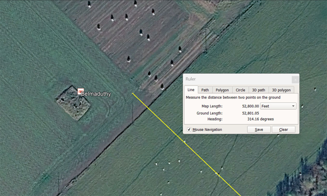
Belmaduthy Chambered Cairn is situated 52800' from Clava Cairns centre at 314.16°. The distance is 10-miles of 5280' and the angle is for mnemonic recall of the PI ratio @ 3.1416 to 1, when turning a diameter into a circle.
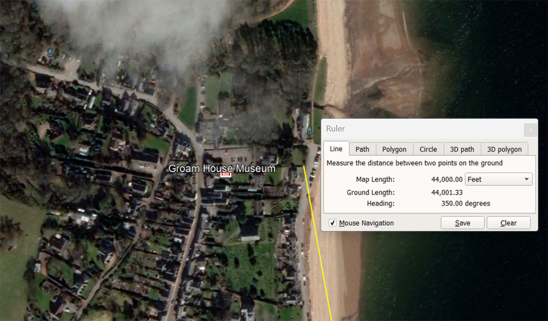
Groam House Museum in the Rosemarkie coastal village of Scotland, is located only metres away from Rosemarkie Parish church, where a very ornate Pictish cross-slab was found during renovations in 1821. In the churchyard, carved stone fragments continue to be found and the history of Rosemarkie Village, as well as the human history of the region goes back over 5000-years to the Mesolithic and Neolithic eras. The position of the museum and adjacent church near the water's edge would suggest prime real estate for thousands of years.
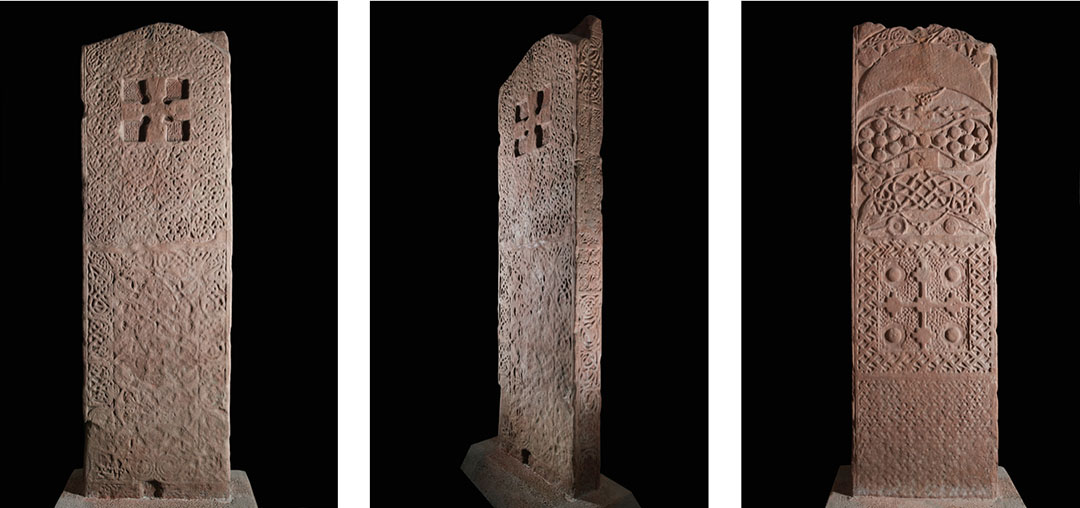
The Rosemarkie Pictish stone slab found beneath the floor of the Rosemarkie Parish church floor in 1821. It quite probably stood on the site when the church was built in the 8th century AD and had to be removed to make room for the building. Either way, the museum and church positions seem to comply with distance and angle codes stemming from the centre of Clava Cairns. The closely adjacent buildings sit 44000' away at an angle of 350°, which was probably meant to read as a return angle of 170.1° and relate directly to 1701-days, or 1/4th of the 6804-day Lunar Nutation cycle. The number 350 is a "7" based number.
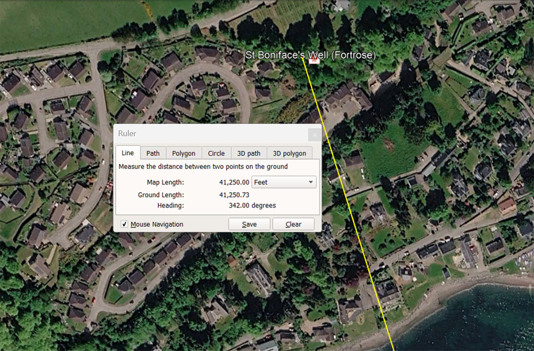
A line runs from Clava Cairns centre for 41250' at a return angle of 162°. The distance code is 2.5 ancient English Leagues (3.125-miles of 5280' each). The distance is also 7500 ancient Merchant Fathoms of 5.5'; 2500 Rods or Perches, 625 Chains; 62.5 Furlongs or Furrowlongs and 7.8125 Miles. The number 162 (a rounded form of PHI ... 161.8034) is a multi-use value used in many ancient calculations, including lunar, navigational, lunisolar calendar, Precession of the Equinoxes, etc.
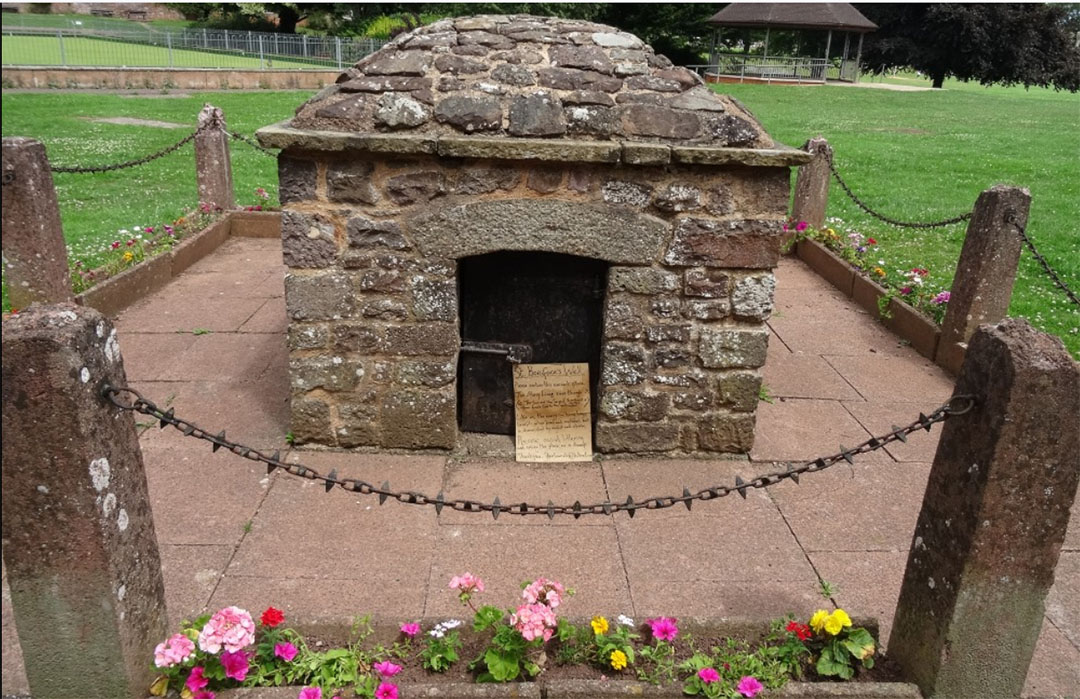
The well attributed to St Boniface, but possibly having a much older lineage through the Druidic era to more remote ancestors. We know that early medieval missionaries like St. Boniface often intentionally Christianized pre-existing sacred pagan sites, building chapels over standing stone circles, rebranding Pagan holy days or rededicating springs to saints in order to redirect local devotional habits safely into the Church. When they couldn't ban the use of Pagan blessing and cursing altars (bullaun boulders at the sacred springs or wells), they finally adopted them as the baptismal fonts of the church ritual.
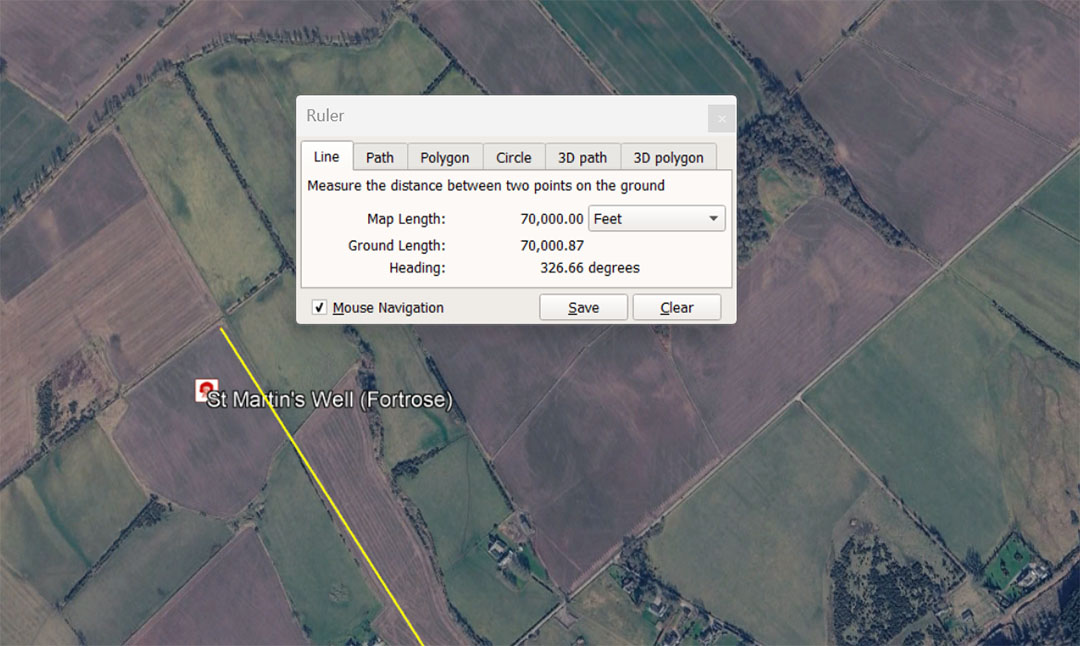
St Martin's Well (Fortrose) sits 70000' (13⅓ miles of 5250') from the centre of Clava at a return angle of 146.6666°. This degree-angle value, if considered to be a length in feet, would be 1/36th of the 5280' mile or 1/112.5th of the ancient League of 16500' (3.125-miles). It is also 1/40.5th of the ancient Scottish mile of 5940'. The well represents a perfect code-bearing outlier for the Clava Cairns open-air university.
This is what's left of St Martin's Well, Fortrose and in the picture one can see one bullaun (bowl) containing water on the long Blessing & Cursing altar boulder, which may well house yet another hewn-out bullaun hidden behind foliage. The top section of a second bullaun can be seen in the background.
A second accompanying photo (not included) shows another bullaun boulder in the stream bed. Apparently, according to the ordnance survey of 1875, this well was covered over by a stone roof. The presence of several hewn-out bullauns attests to the fact that this well predates the Christian era and could be up to 5000-years old and of Pagan origin, like the very ancient bullauns of Ireland.
Either way, the St Boniface well mentioned earlier seems well-situated to qualify as an ancient, code-bearing outer marker, with a direct association to the Clava Cairns open air university ... for teaching students the ancient mathematics of navigation, cyclic astronomy, etc. ... the numbers required for maintaining functional civilisation and abundant living in every ensuing generation.
Here is yet another misattribution, by naming this well on the Isle of Iona, Scotland, in honour of patron saint, Columba. At the frontal base of the well is an ancient bullaun boulder. It houses one complete bullaun and a second broken-out one, wherein the side got smashed out. The presence of a bullaun, if originally a part of the well, shows that the well predates Christianity regionally and was once used as a Pagan blessing and cursing altar, as well as for drinking and spiritual purification. In this very rare case, the sign on the front of the well offers an honest appraisal related to the origin and purpose of the well, extending back to remote antiquity.
The caption to the right reads:
The stones at your feet (bullauns) are known as 'Clachen braith' or 'prayer stones'. Their round hollows once held 'noble globes of white marble', which pilgrims rotated while saying a prayer. The world was supposed to end when the stone was worn through.
The ancient bullauns were found at the sacred wells and streams all over the British Isles, Continental Europe or the Mediterranean. For a blessing or cursing ritual they were filled with water, with the round (white) stone clasped in the hand and swirled sun-wise for a blessing or in the opposite direction for a curse. A person praying for the health of a sick loved-one would rent-tear off a piece of their garment and tie it to a bush at the end of their prayer, to flutter in the wind as an ongoing supplication for the well-being of their loved one. For those evoking curses, they were warned against false incantations against others, lest the individual targeted be found to be innocent, and the unleashed, unfulfilled curse return to wreak vengeance on the false accuser.
When the Spanish Armada, invasion fleet drew close to Ireland in 1588, local witches are said to have used their blessing and cursing altars to conjure up a violent storm that sank over 20 of the Spanish ships.
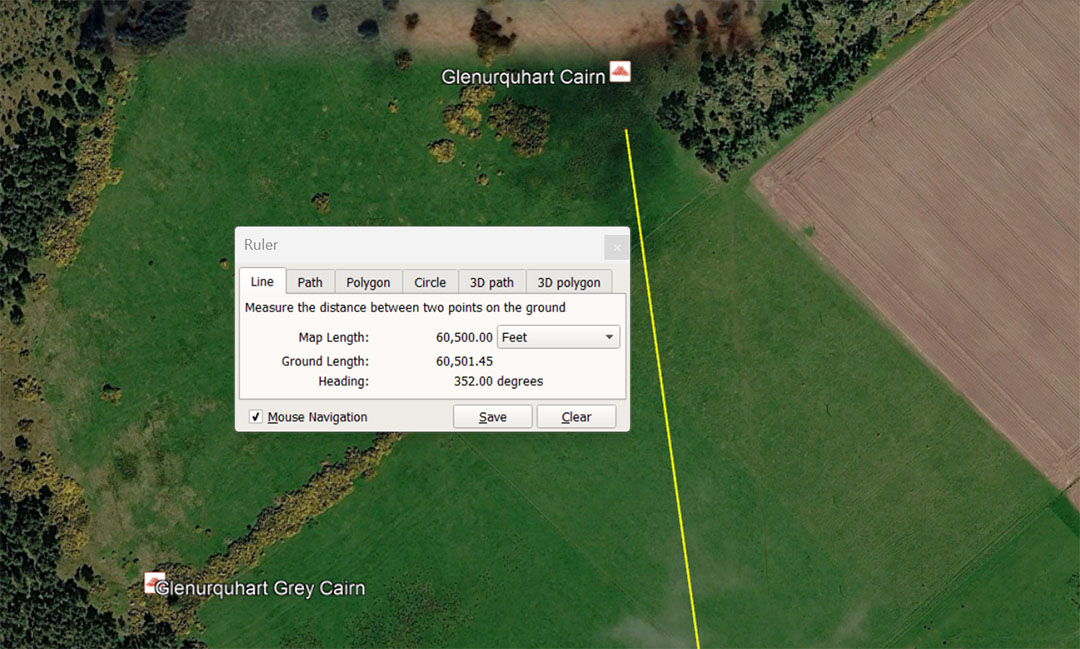
Glenurquhart Cairn sits 60500' from the centre of Clava Cairns on an angle of 352°. The distance is 10-minutes of the Earth's equatorial circumference when utilising 'the ancient 5280'-mile navigational method. Under this system based upon the "11" family of numbers 6050' X 60 = 363000' for 1-degree of equatorial arc X 360 = 130680000' for the full circumference (24750 miles of 5280'). The degree angle is 352° and the length of 352' = 1/15th of a 5280' mile.
This position is, however, double coded to also infer an overall distance of 60480', which would be 10-minutes of equatorial arc under the 5250' mile navigational method. Under this reading, the length of the Great Pyramid of Egypt is 756' and if one circumnavigates the pyramid two times one has traveled 6048' for 1-minute of equatorial arc in the Earth's circumference. The sum of 6048' X 60 = 362880' for 1-degree of arc X 360 = 130636800' or 24883.2 miles of 5250'. (12 X 12 X 12 X 12 X 1.2 miles. Under this ancient navigational method using the "6 & 7" number families combined, 1/15th of the 5250'mile would be 350'.
At the bottom left of the picture is shown the very impressive Glenurquhart Grey Cairn. It sits at an intended code-bearing distance of 59400' from the centre of Clava Cairns or 10 ancient Scottish miles of 5940'.
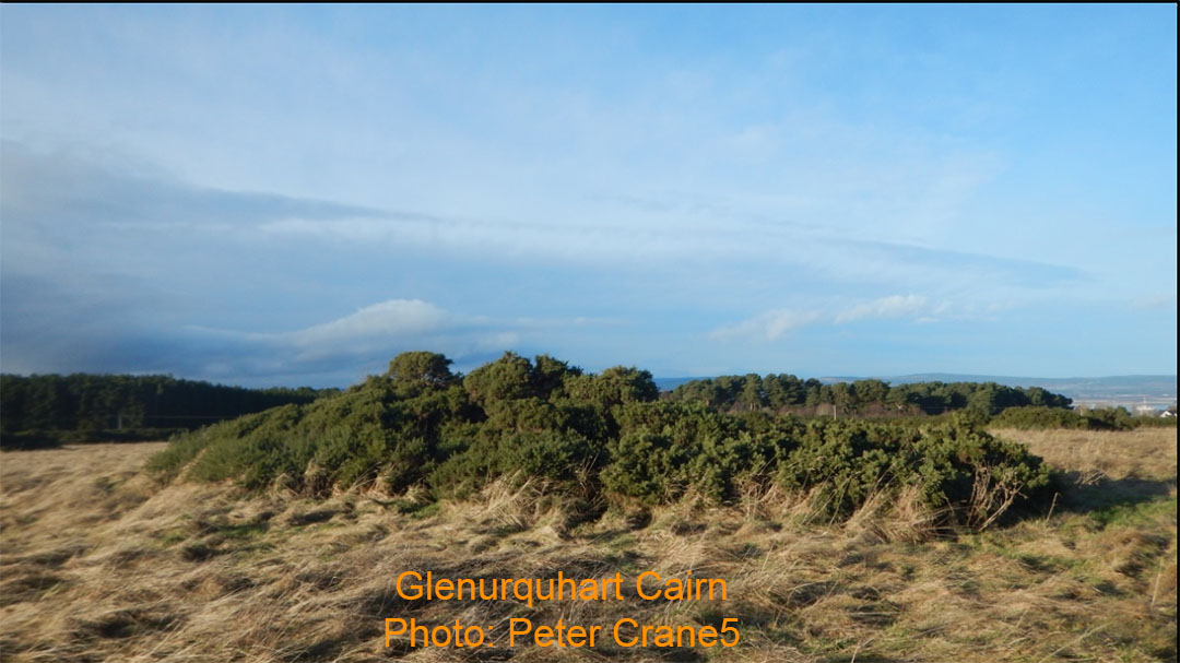
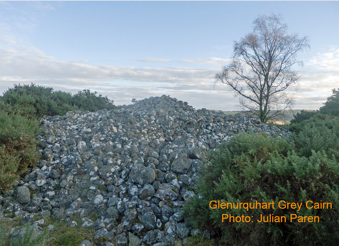
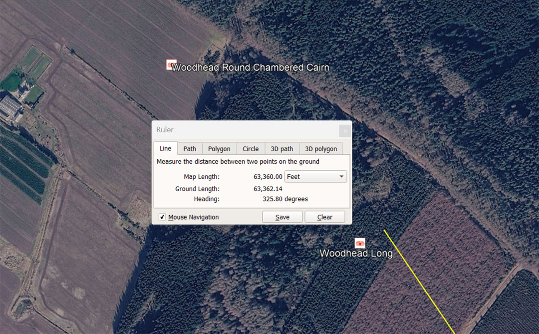
Woodhead Long sits at an intended coded distance from Clava Cairns centre of 63360 feet at an angle of 145.8° return. Ancient savants/ mathematicians used memory devices to recall special numbers and there were 3 Egyptian Royal Cubits used as mnemonic devices for coding the equatorial circumference of the Earth according to 3 different navigational methods:
1. Using the shortest Egyptian Royal Cubit of 20.61818182" (an example of this one is in the Turin Museum collection) one simply multiplied the inch length of the Cubit X 1200 and read the final total in miles of 5280'. Therefore 20.61818182 X 1200 = 24741.8181818-miles ... when multiplied by 5280' = 130636800' ... which also equates to 12 X 12 X 12 X 12 X 1.2 or 24883.2 so-called Greek miles. The number 130636800' if divided by 6336000 = 20.61818182.
2. Using the mid-range Egyptian Royal Cubit of 20.625" (identified by Petrie) X 1200 = 24750-miles of 5280' or 130680000'. This when divided by 6336000 = 20.625.
3. Using the largest Egyptian Royal Cubit of 20.736" (identified in the widths of the paving slabs at the base of the Great Pyramid) X 1200 = 24883.2-miles of 5280' or 131383296'. This divided by 6336000 = 20.736. This last Egyptian Royal Cubit gave the savant/ mathematicians the ability to arrive at the true equatorial circumference (24902-miles) for a shortfall of only 18.8-miles.
The degree angle from Clava centre to Woodhenge Long was a return angle of 145.8°. In a number progression this value identifies lunar numbers and a navigational method adopted by the Romans from much older civilisations. The sum of 145.8' would equate to 150 Roman feet of 11.664" or 30 Roman Paces of 58.32".
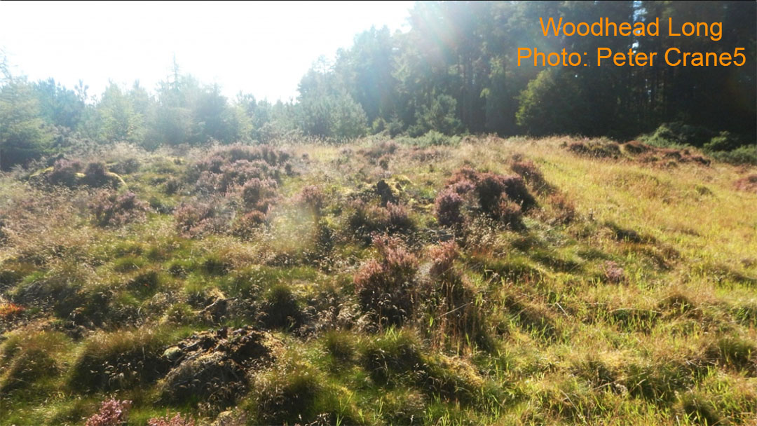
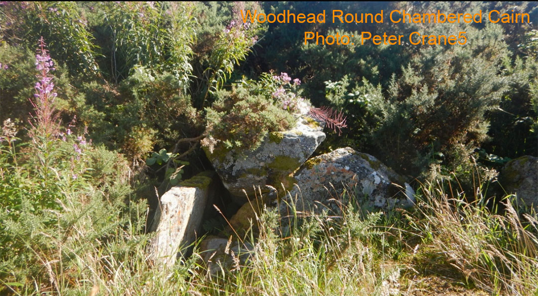
Woodhead Round Chambered Cairn, overgrown and wrecked. Thousands of years ago it would once have offered shelter to students of navigation. It sits at a coded distance of 64800' from Clava Cairns centre, locatable on a return angle of 145.8°. The distance code of 648, in a mathematical progression, generates numbers related to the Precession of the Equinoxes, the equatorial circumference of the Earth, the side length and height of the Great Pyramid to its truncated flat-floor top, the slope angle of the Great Pyramid, navigation , the MPH speed of the Earth's spin in a 24-hour period, etc.
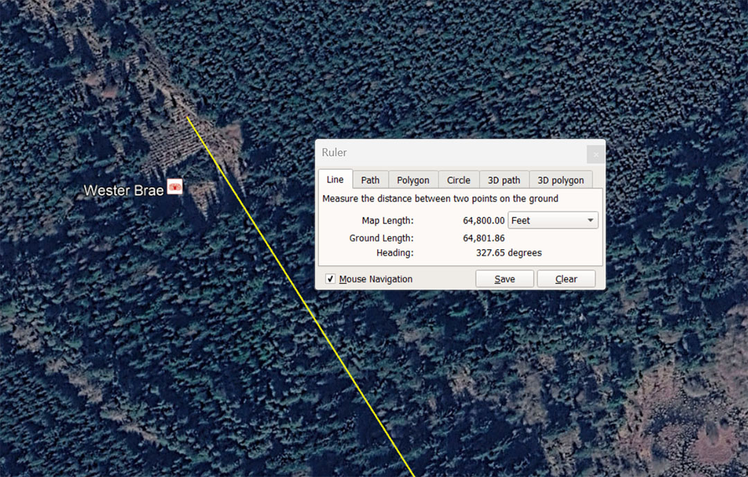
Wester Brae chambered cairn is situated 64800'from the centre of Clava Cairns at an intended, code-bearing return angle of 147.65625°. The 64800' distance is 13⅓ Roman Miles of 4860' (5000 Roman feet of 11.664"). In a mathematical progression the number 648 provides fractions related to the 25920-year Precession of the Equinoxes, wherein 6480-years would be 1/4th of the cycle. It also relates to the 24883.2-mile equatorial circumference of the Earth, wherein 64.8-miles would be 1/384th segment. The return degree-angle from Wester Brae to Clava Cairns (147.65625°) codes the lunar month of 29.53125-days (29¹⁷⁄₃₂) and, in days, 14.765625-days is half a lunar month.
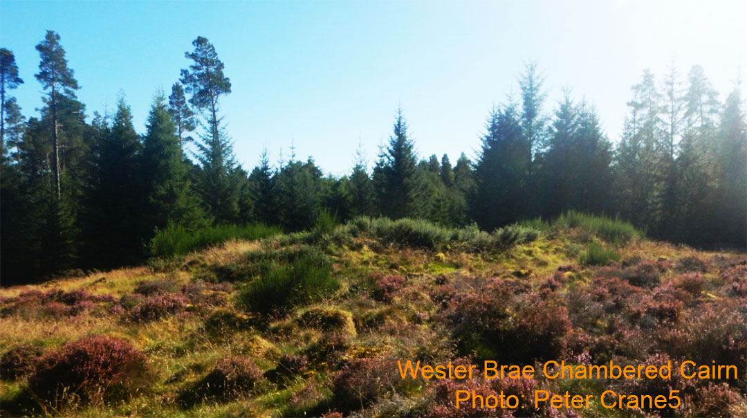
The disheveled and wrecked former chambered cairn.that once offered very welcome shelter out of the cold to many generations of transient students of navigation.
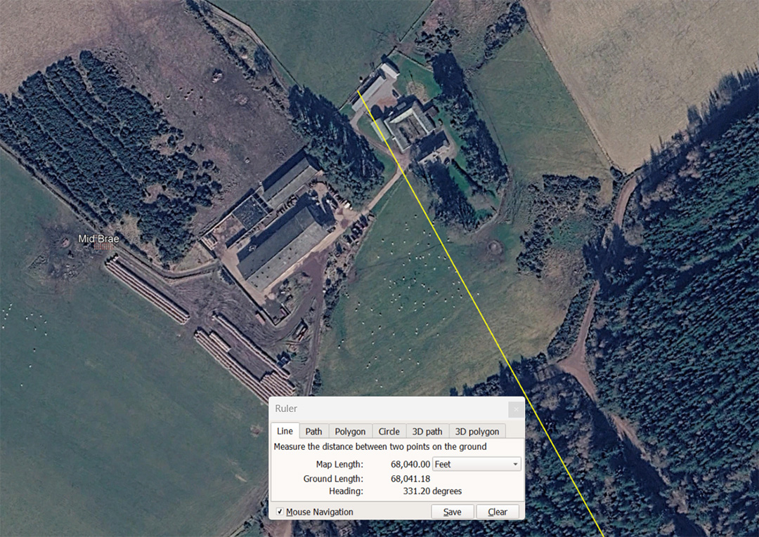
The Mid Brae chambered cairn sits a coded distance of 68040' from Clava Cairn centre hub and is approachable on the code-bearing leyline of 151.2° return.
The distance coding is in homage to the 6804-day Lunar Nutation cycle, where the Moon circuiting the Earth and the Earth circuiting the Sun, dance out of synchronisation, then reassume the same position in relation to each other 6804-days later to commence the dance anew. This cycle was of great importance for accurate weather predictions, due to the Moon's gravitational tug on the Earth, its atmosphere and oceans, through varying seasons during the 18.613-year cycle.
The 151.2° angle is navigational coding, based upon the length of the Great Pyramid, two sides of which @ 756' per side = 1512'. This value in 1/4th of 1-minute of equatorial arc for a world configured to be 130636800' in circumference under the Great Pyramid's navigational method ... 24883.2-miles of 5250' (a "6 & 7" family of numbers based mile).
The same return degree angle would also have been symbolically read as 151.25° and relate to a 2nd navigational system encoded profusely into megalithic structures as 24750-miles of 5280' (130680000'). This 2nd factorable-number method of navigation comes into play by symbolically elongating the base length of the Great Pyramid by 3" from 756' to 756.25', generating an "11" based mile (5280'.
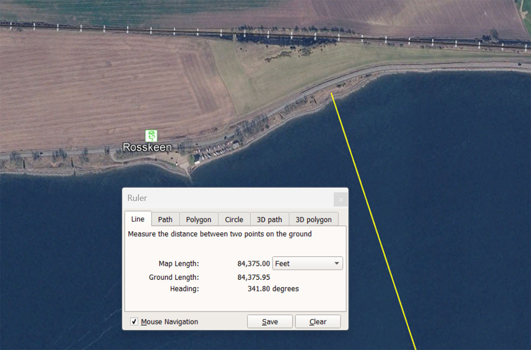
The solitary Rosskeen standing stone, displaying Pictish symbols, might well have been a more ancient outlier associated with the Clava Cairns school of navigation. The distance from Clava to the stone is 84375' and this code-bearing value in a mathematical progression generates lunar codes associated with the Khafre Pyramid (a pyramid of the moon) dimensions:
84.375, 168.75, 253.125, 337.5, 506.25, 590.625, 675 ... 1012.5 ... 1181.25 ... 2953.125, etc. In the lunar year of 354.375-days the sum of 8.4375-days (202.5-hours) would be 1/42nd part. The lunar month is 29.53125-days (29¹⁷⁄₃₂) to a tolerance of under 1-minute.
The return angle back to Clava Cairns from the Rosskeen standing stone would have been intended to convey 161.8034°, coding the PHI ratio (1.618034 to 1).
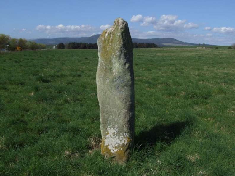
Rosskeen standing stone. Is it much older than the Pictish era and was it once an outlier marker for the Clava Cairns open-air-university?
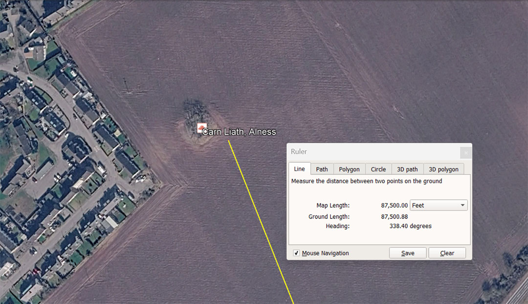
Carn Liaith is situated 87500' from the centre of Clava Cairns on a return angle of 158.4°. The distance from Clava's centre is 16⅔ miles of 5250' each. The code built into the 158.4° angle relates to the ancient Scottish mile of 5940', of which there are 3¾ X 1584' in a Scottish mile or 3⅓ X 1584' in an English mile of 5280'.
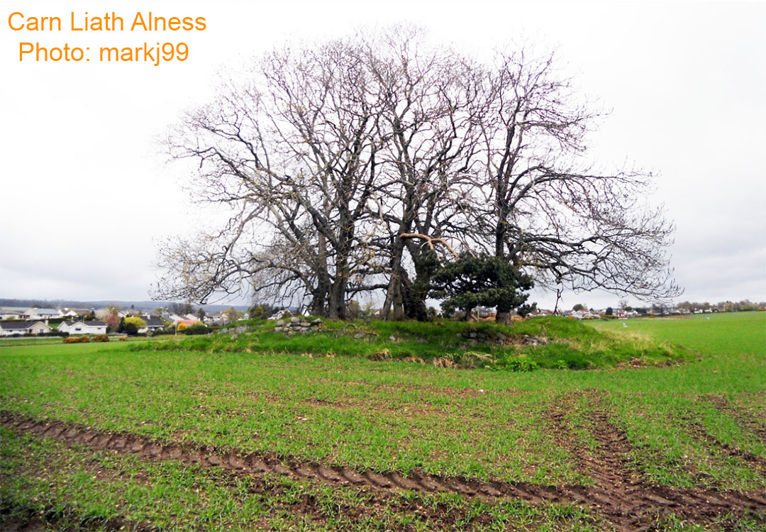
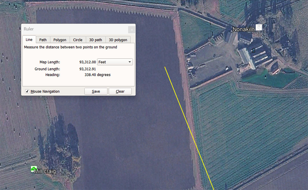
A leyline extends for a coded distance of 93312' from the centre of Clava Cairns and resolves midway between Mill Craig chambered "Tomb" (a misnomer) and Nonakin, which was the site of another "Pictish" standing stone. The line has just passed through the position of Carn Liath at the same return angle back to Clava Cairns (158.4°).
The distance of 93312' is 1/14000th of the 130636800' equatorial circumference of the Earth (24883.2 so-called Greek miles of 5250'). It is also 19.2 so-called Roman Miles of 4860', 96000 Roman feet of 11.664" or 19200 Roman Paces of 58.32" ... a measurement standard adopted by the Romans from the ancient ancestors who built the sprawling complexes like Avebury Henge, Newgrange, etc., dating to before 3000 BCE.
The value of 933120 was used in ancient Mediterranean Weights, Measures and Volumes and the Babylonian Talent was 933120 grains.
Unfortunately, no photos of the Pictish stone at Nonakin seem to exist.
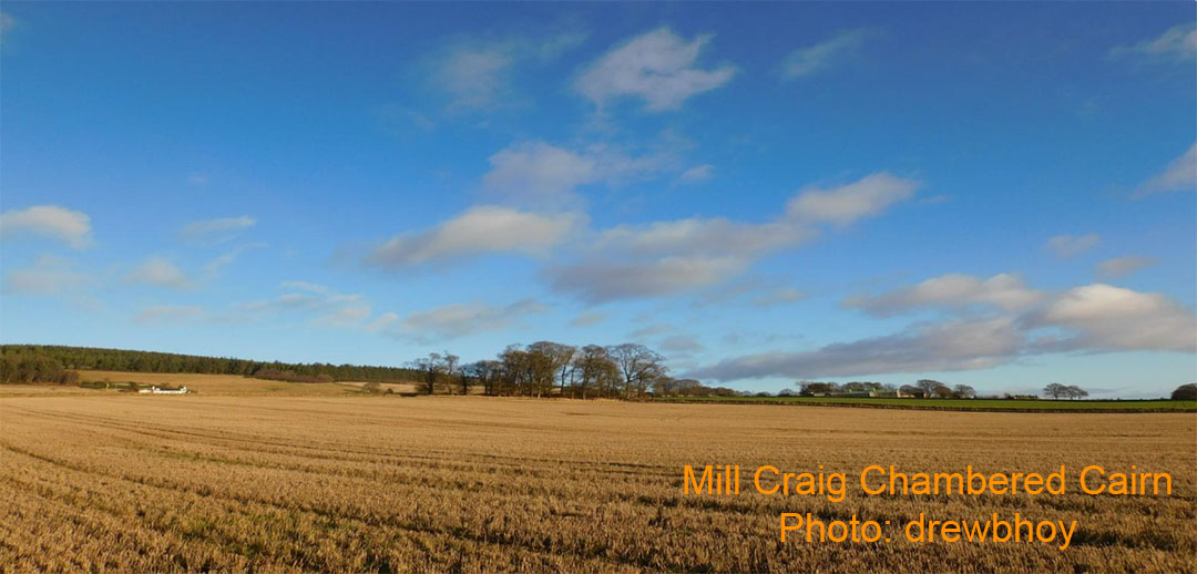
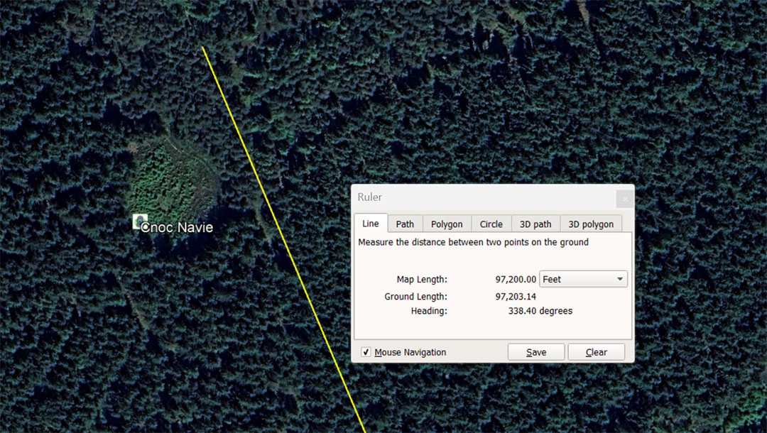
The 148.5° return leyline continues, bypassing Cnoc Naivie Hill on the eastern side at a code-bearing distance from Clava Cairns of 97200'. Under the 24883.2-mile reading for the equatorial circumference of the Earth, a length of 97.2 miles would be 1/256th part. Also, 97200' would be 20 Roman Miles of 4860', 20000 Roman Paces of 58.32" or 100000 Roman feet of 11.664".
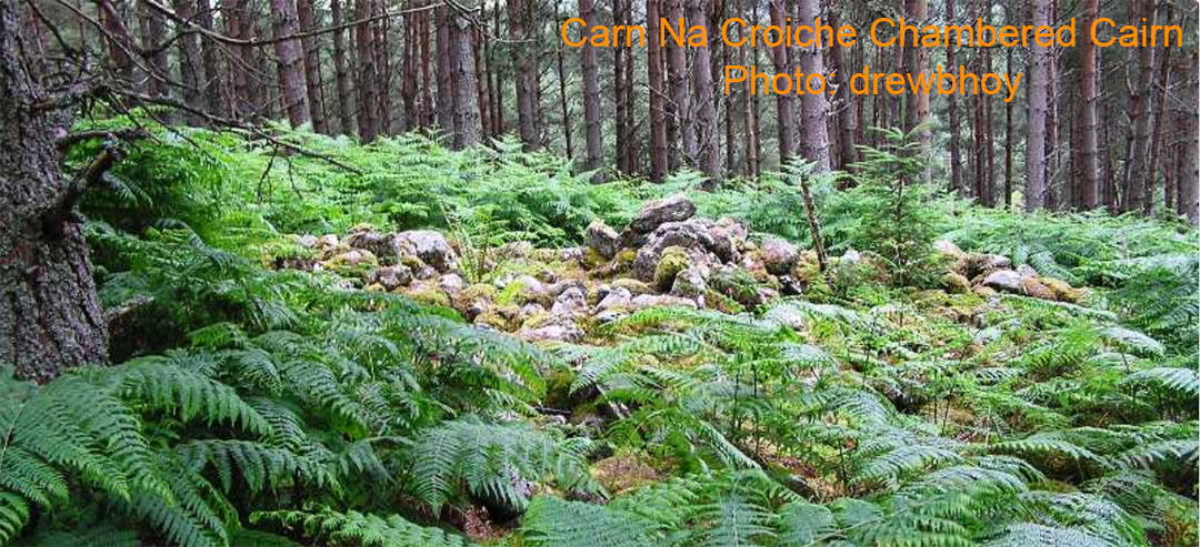
The severely wrecked and plundered Carn Na Croiche chambered cairn on Cnoc Navie Hill.
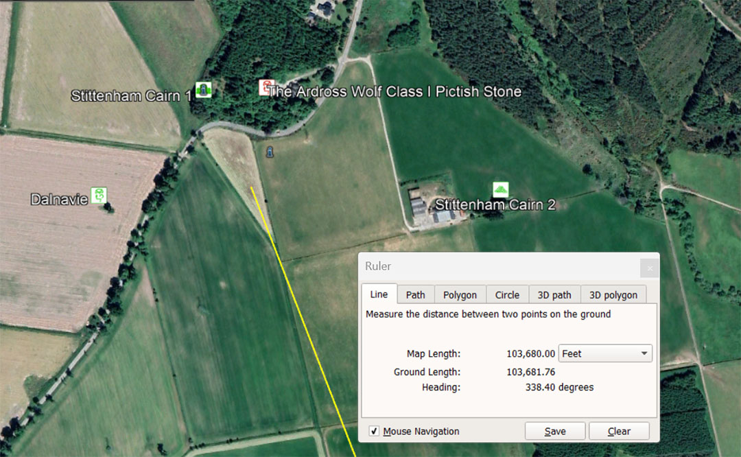
A leyline from Clava Cairns centre resolves within the close-knit cluster of four ancient sites, of Stittenham 1 & 2 (cairns), as well as Dalnavie Pictish stone and "The Ardross Wolf" Pictish stone.
The code-bearing line from Clava extends for 103680' @ a return angle of (again) 158.4°. The much used ancient number 1036.8 was used across several continents* to describe the MPH (miles-per-hour) rotation of the Earth.
* https://www.celticnz.co.nz/GaogouliPyramid/GaogouliArticle.html
Therefore, the 24883.2-mile Earth completes one rotation every 24 hours which means 24883.2-miles ÷ 24 = 1036.8 MPH. The distance of 103680' = 21⅓ Roman miles of 4860' each. There would be 1260 X 103680' in the 130636800 equatorial circumference of the Earth (24883.2 Greek miles of 5250' each).
The distance would also equate to 3 Egyptian Atur, based upon the largest Egyptian Royal Cubit (20.736" or 1.728') X 20000 = 34560'. Therefore 103680 ÷ 34560' = 3 Atur.
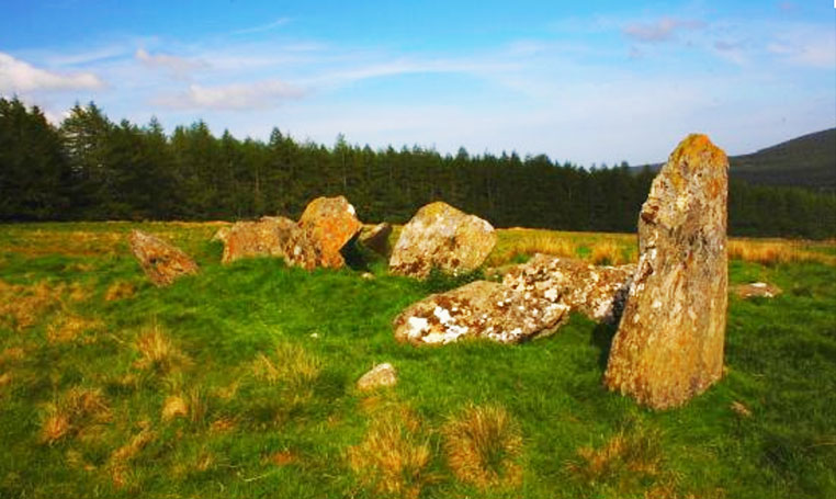
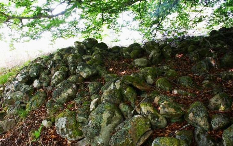
The Stittenham Cairns of which Stittenham 1 is described as a chambered "tomb".
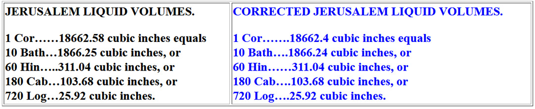
Left: Historical Metrologist, Donald Lee Lenzen's estimate of the ancient Jerusalem liquid volume and its divisions, using the 103.68 cubic inch volume for the Cab. Although Lenzen's numbers are correct for the other divisions called a Log and a Hin, he provides capacities for the Cor and the Bath that are out of synchronisation against the other, smaller volumes.
To the right are seen the precise read-outs that perfectly describes the divisions. Note: all of these values are perfect divisions of the 24883.2-mile equatorial circumference of the Earth: There would be 1⅓ X 18662.4-miles = 24883.2, then 8 X 3110.4-miles, then 24 X 1036.8-miles, then 96 X 259.2-miles = the 24883.2-mile (130636800') equatorial circumference (based upon Greek miles of 5250'each).
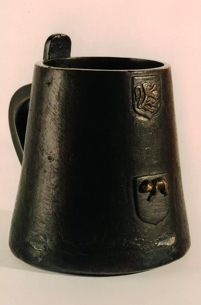
This is the Stirling Jug of Scotland, formerly a standard capacity jug for ale, from which other jugs of measured capacity were fabricated. Its internal volume is 103.68 cubic inches, exactly the same as the very ancient Hebrew Cab volume of about 600 BCE, before Nebuchadrezzar's Babylonian army totally conquered the Hebrews and enslaved them.
Significantly, the Stirling jug of Scotland has the Pascal Lamb symbol emblazoned into a shield casting on the side, showing a link to the Hebrews and the Feast of the Passover of, perhaps, 2000-years earlier.
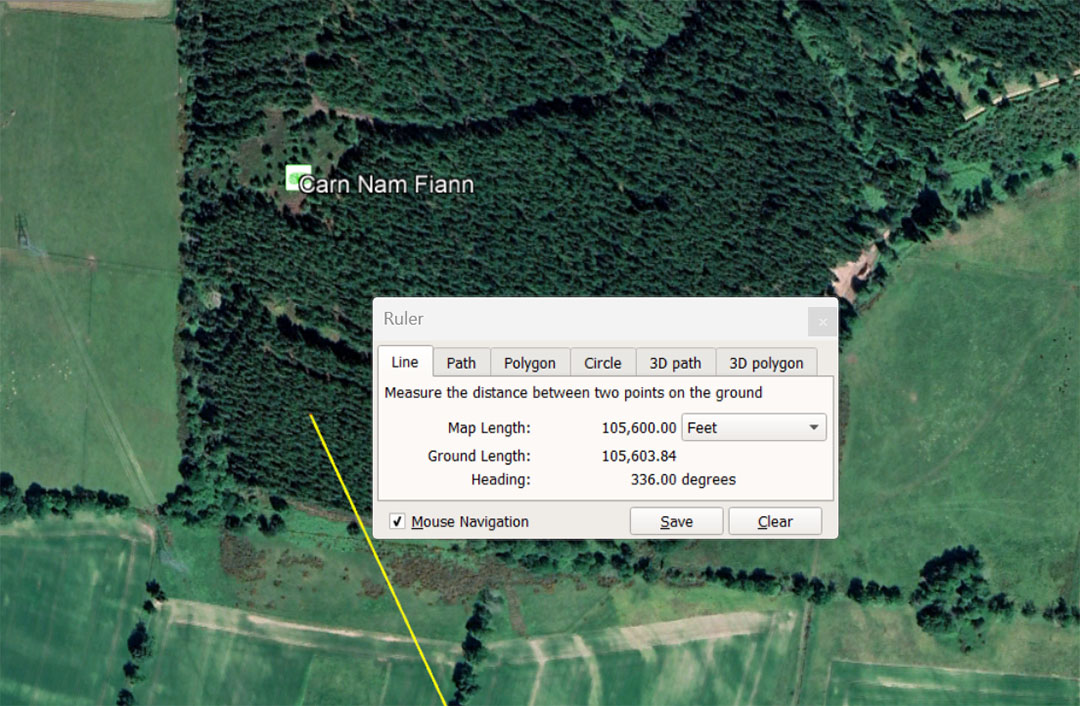
Carn Nam Fiann's position was intended to encode a distance of 105600' from Clava Cairns centre @ 336°. The distance is 20-miles of 5280'. The degree angle is also navigational coding in that 336 X 2 = 672 and the ancient Irish mile was 6720'. Likewise, under the 130636800-miles of 5250', the sum of 6720' = 1/ 19440th. The ancient Swedish Rydaholmsalm measurement was 1.944' or 23.328". Students of navigation would also use this distance to Carn Nam Fiann chambered cairn for mnemonic recall of 105000' or 20 X 5250'.
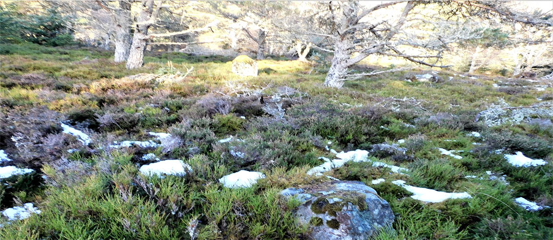
The very wrecked chambered cairn, Carn Nam Fiann .
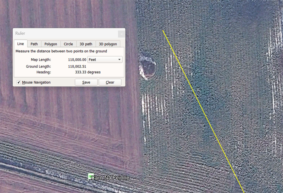
Carn na Feinne chambered cairn sits 110000' from the centre of Clava Cairns at a code-bearing degree angle of 333.33°. The distance is 6⅔ ancient Leagues of 16500' each. It is also 1/1188th of the 130680000' (24750-miles of 5280') equatorial circumference of the Earth.
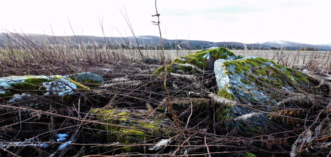
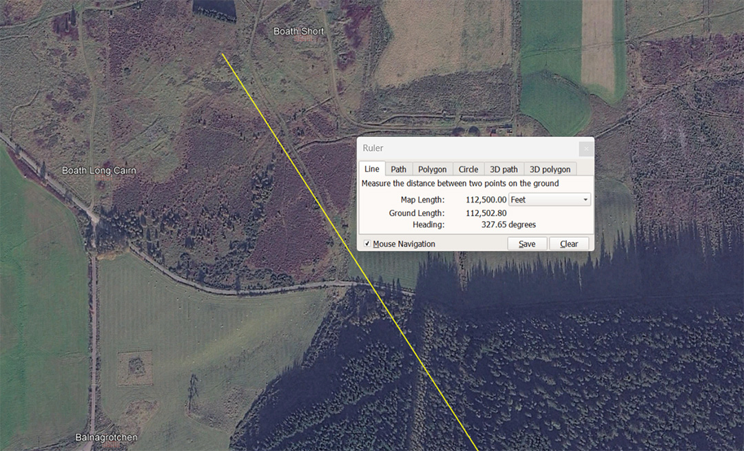
A leyline extends for 112500' from the centre of Clava Cairn to resolve midway between Boath Short and Boath Long Cairn @ 327.65° (return angle 147.65625°). Balngrotchen Chambered Cairn sits in the same close-knit cluster to the SW. A distance of 1125-miles would be 1/22nd of the 24750-mile equatorial circumference. Also, within the 360° compass 11.25° is 1/32nd division.
The return angle is coding for the lunar month and 14.765625-days would be half a lunar month of 29.53125-days (29¹⁷⁄₃₂) or 354.375-hours ... Note: The lunar year is 354.375-days.
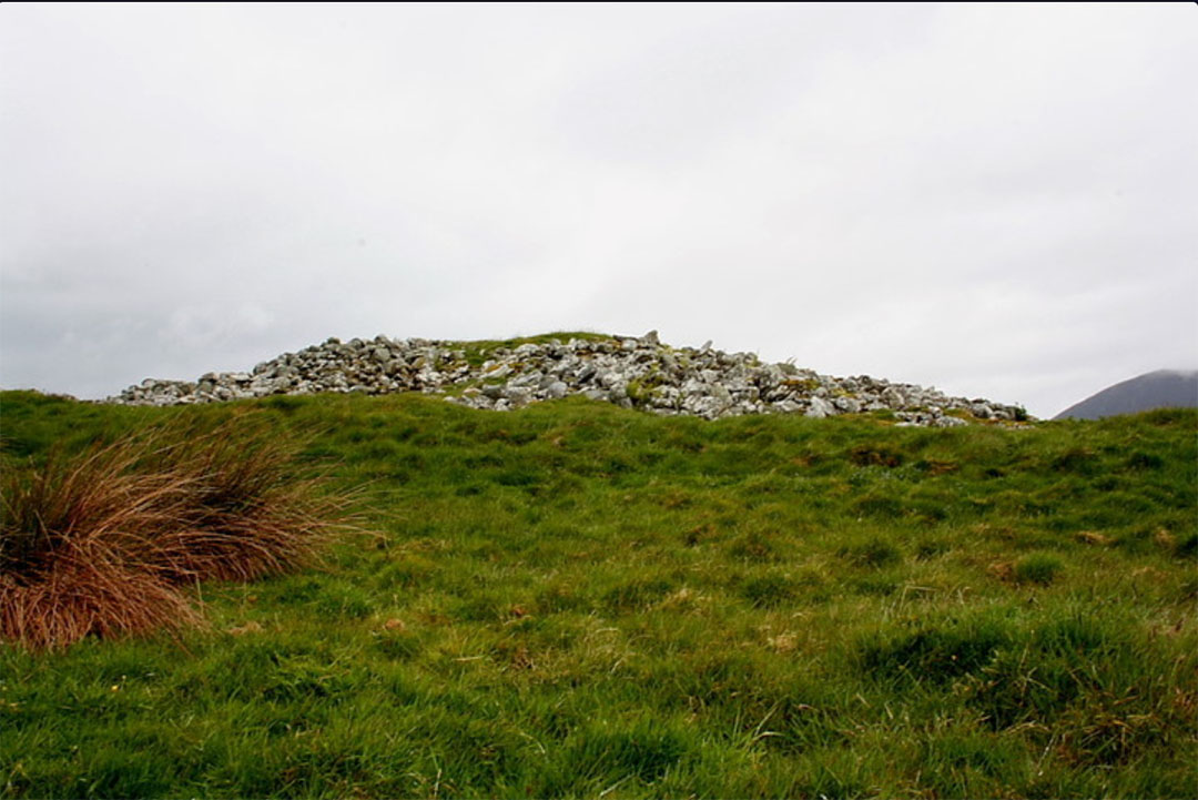
Boath Long Cairn
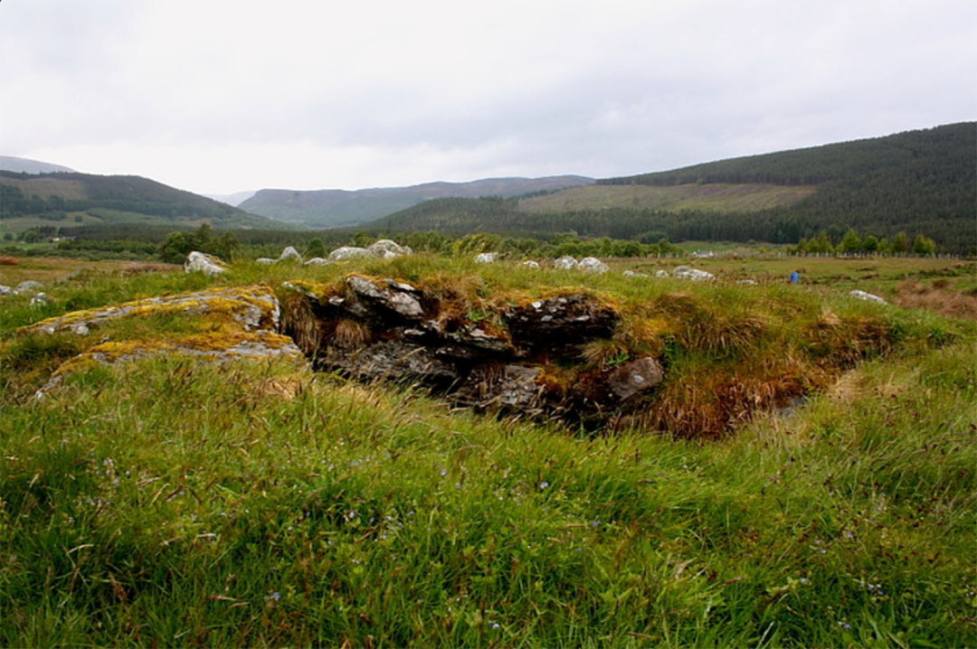
Boath Short Cairn.
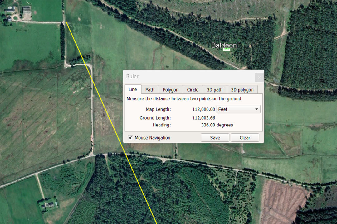
The vector running from Clava Cairn centre to Baldoon chambered cairn, by which students of navigation found their objective, was set at 336° and 112000' of travel, (21⅓ miles of 5250' ... or 16⅔ ancient Irish miles of 6720'.
The degree angle is dynamic and, in a mathematical progression, provides fractions that relate to the equatorial circumference of the Earth. For example, the sum of 33.6' would be 1/3rd of 1-second of equatorial arc (100.8') and 336'would be 1/18th of 1-minute of arc (6048') under the literal navigational method encoded into the base dimensions of the Great Pyramid.
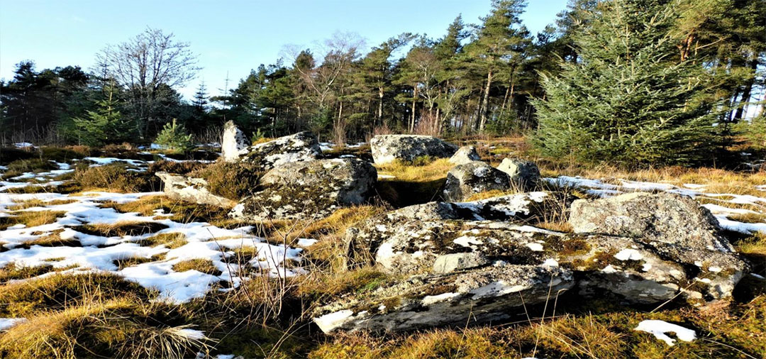
Baldoon chambered cairn.
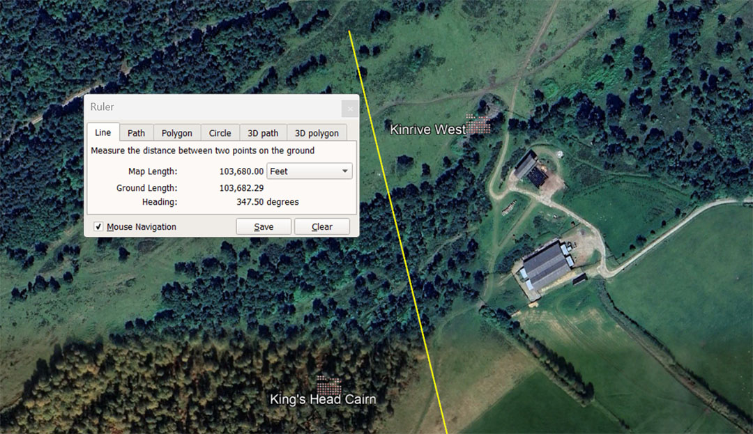
The line from the centre of Clava Cairns extends a code-bearing distance of 103680' dissecting between Kinrive Long Chambered Cairn and King's Head Cairn.
The much used ancient number 1036.8 was used across several continents to describe the MPH (miles-per-hour) rotation of the Earth. Therefore, the 24883.2-mile Earth completes one rotation every 24 hours which means 24883.2-miles ÷ 24 = 1036.8 MPH.
The distance of 103680' = 21⅓ Roman miles of 4860' each. There would be 1260 X 103680' in the 130636800 equatorial circumference of the Earth (24883.2 Greek miles of 5250' each).
https://www.celticnz.co.nz/GaogouliPyramid/GaogouliArticle.html
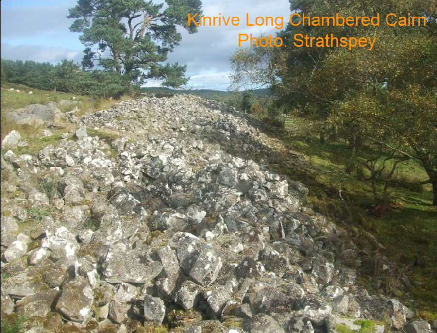
Kinrive Long Chambered Cairn, 200' long and 45' wide. Within view of it is King's Head chambered cairn.
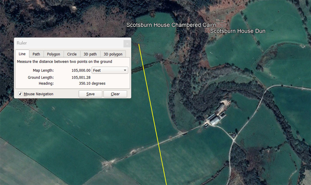
The line from the centre of Clava Cairns extends for 105000' to the Scotsburn sites at a return angle of 170.1°. This distance is 20 Greek miles of 5250' and represents 1/1244.16th of the 130636800' equatorial circumference of the Earth. The Hebrew reed was 10.5'.
It will be recalled that the equatorial circumference of the Earth under this navigational method was 24883.2-miles of 5250'. The sum of 24883.2 ÷ 2 = 12441.6- Greek miles.
The degree angle back to Clava Cairns would have been consided as 170.1° and this is coding relating directly to the 6804-day Lunar Nutation cycle of which 1701-days is the quarter period of the cycle.
This distance out from Clava would also be 15.625 Roman miles of 4860' (5000 Roman feet of 11.664").
The 350° angle from Clava to this site is a "7" based number.
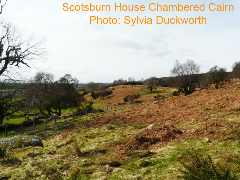
Apparently there's very little left of the chambered cairn.
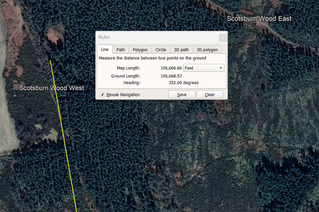
The line from the centre of Clava Cairns runs for 106666.6666' to Scotsburn Wood West chambered cairn. This distance equates to 100000 Pied du Roi which was the standard French "foot" (12.8") for many centuries until the introduction of metrification. The Pied du Roi was still used widely into the 19th century. The 5280' mile is 4950 Pied du Roi; Half the Greek long stadium measurement ... 315' ÷ 1.066666 = 295.3125', which (in days) is 10 lunar months. This value (1.066666) is capable of reducing the "miles"of antiquity into whole number and standard fractions.
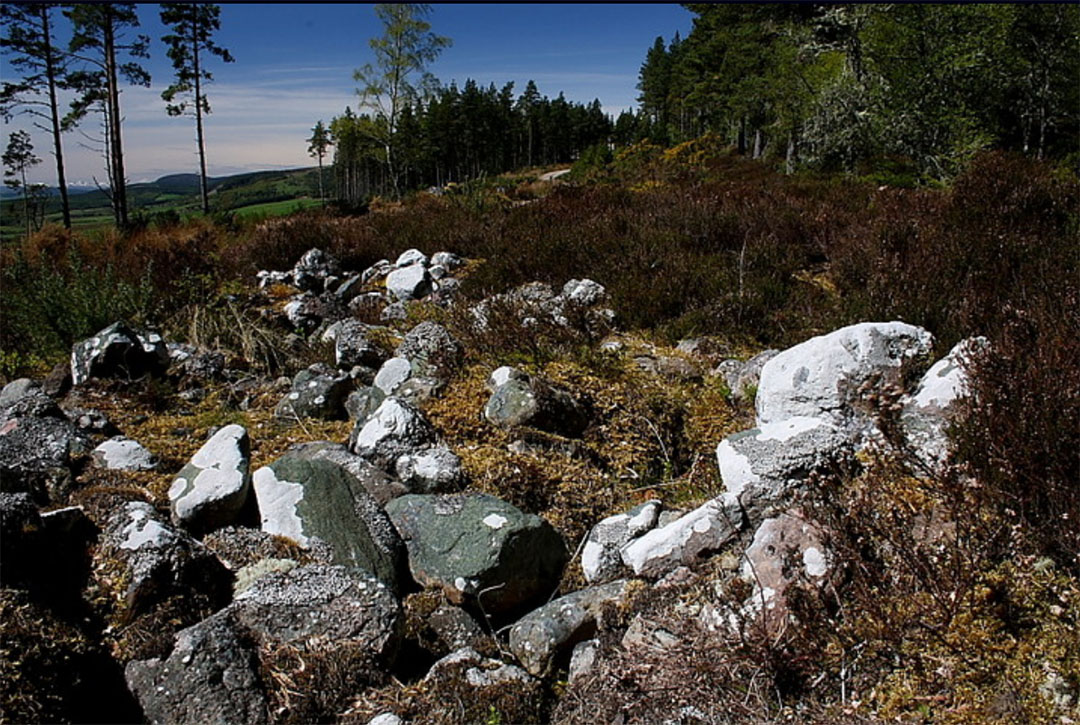
One of the chambered cairns associated with Scotsburn Wood West.
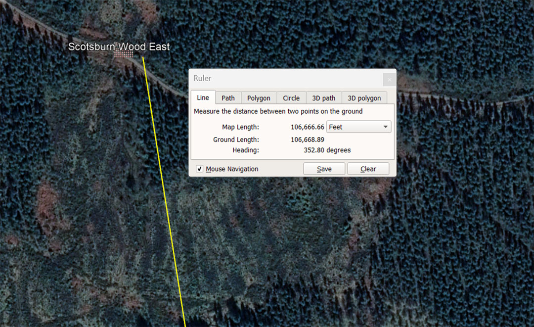
The line from the centre of Clava Cairns to Scotsburn Wood East is, again, coding 106666.66666' @ a return angle of 172.8°. The angle value is one of the most dynamic and much used in calculations within ancient metrology.
The largest of the three Egyptian Royal Cubit, 20.736" is 1.728' ... the lengths of the paving slabs at the base of the Great Pyramid. A cubic foot (12" X 12" X 12") = 1728 cubic inches. In the 25920-year duration of the Precession of the Equinoxes, 1728-years would be 1/15th of the cycle.
One of the methods for calculating an accurate rendition of PI when turning "11" family increments into whole number, code bearing circumferences was to use PI @ 1728/550ths = 3,141818182. Under this system of navigation using the ancient English league of 16500' (3.125-miles) as a leg of travel at sea (crossing back and forth across a leyline under sail), a straight-line leg of travel, when turned into a circle on the plotting chart, would be 51840', or 144' per degree of arc. This meant easily calculating the degree angle back to the point of departure or the angle to the destination (positional plotting on the featureless oceans).
Added to the above, the slope angle of the Great Pyramid is 51.84° and in the 25920-year duration of the Precession of the Equinoxes, 5184-years would be 1/5th part of the cycle, etc.
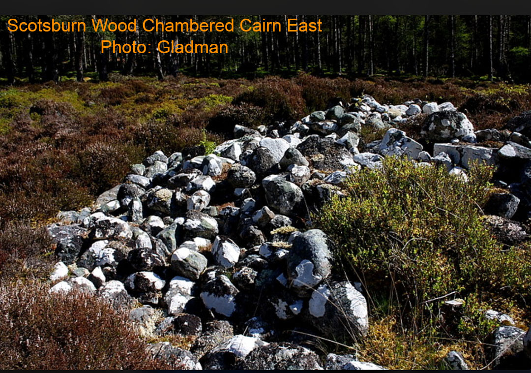
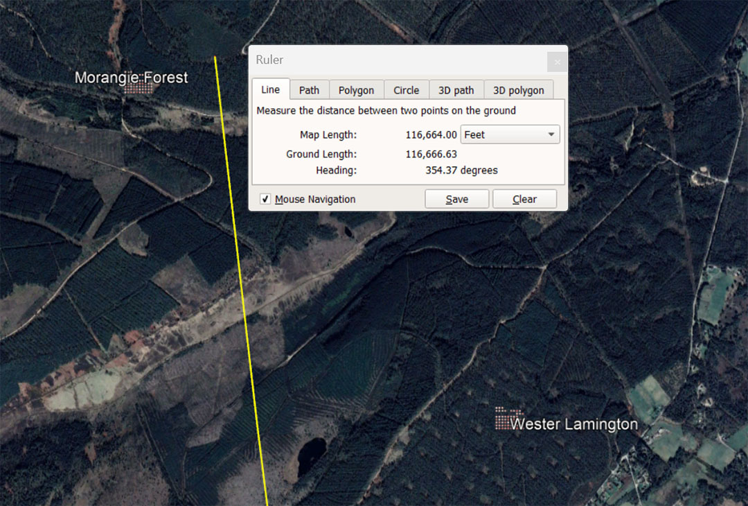
A line runs for 116640' from the centre of Clava Cairns to Morangie Forest Chambered Cairn @ 354.375°. This distance is 20 (of what became over 2000-years later) Roman miles of 4860' each. The degree angle 354.375° is lunar coding and 354.375-days is the length of the lunar year.
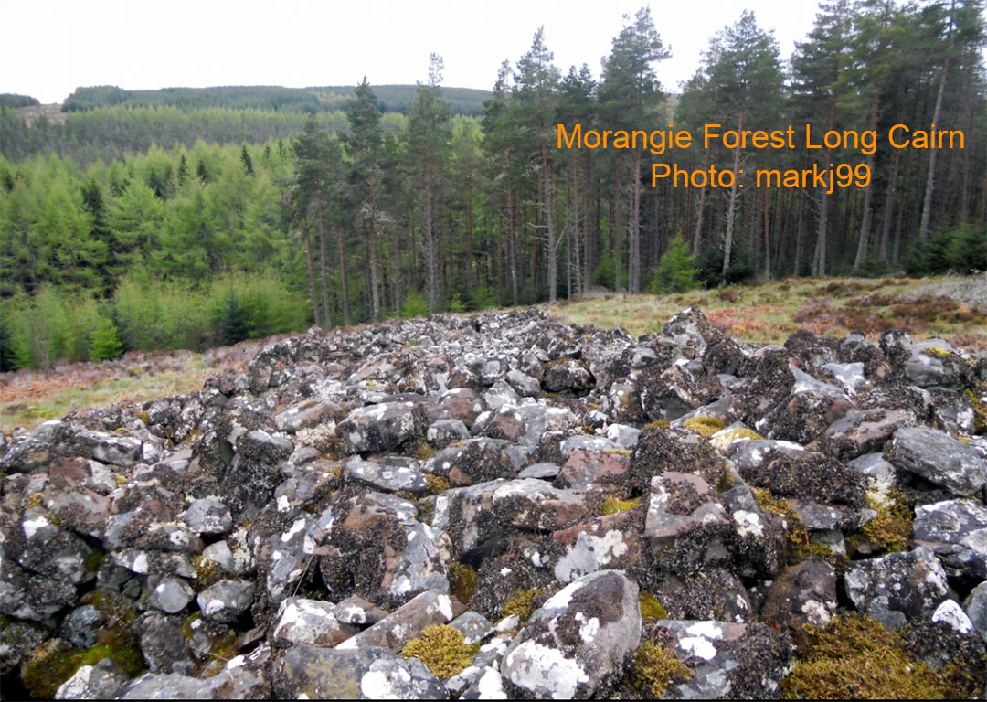
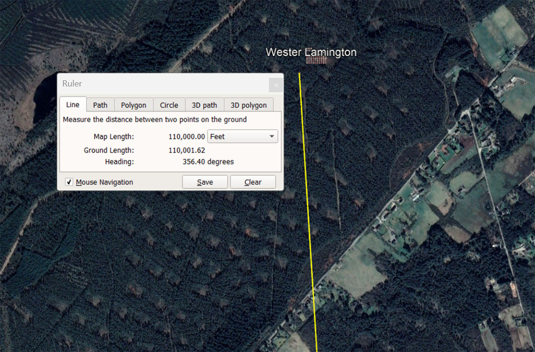
The line from the centre of Clava Cairns runs for 110000' @ 356.4° to Wester Lamington cairn. This is 6⅔ English leagues of 16500'. It is also 64000 Egyptian Royal cubits of 20.625". This would also be 103125 Pied du Roi. or 10.3125 Lieue.
With regards to the angle of 356.4°, there would be 356.4 X 343750 Pied du Roi in the 130680000'equatorial circumference of the Earth .... Therefore 130680000' ÷ 356.4 = 366666.66666' ÷ 1.0666666 = 343750.
This is a lesser used mathematical string progression value.
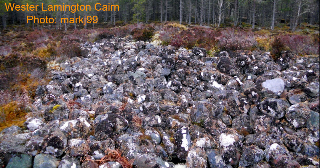
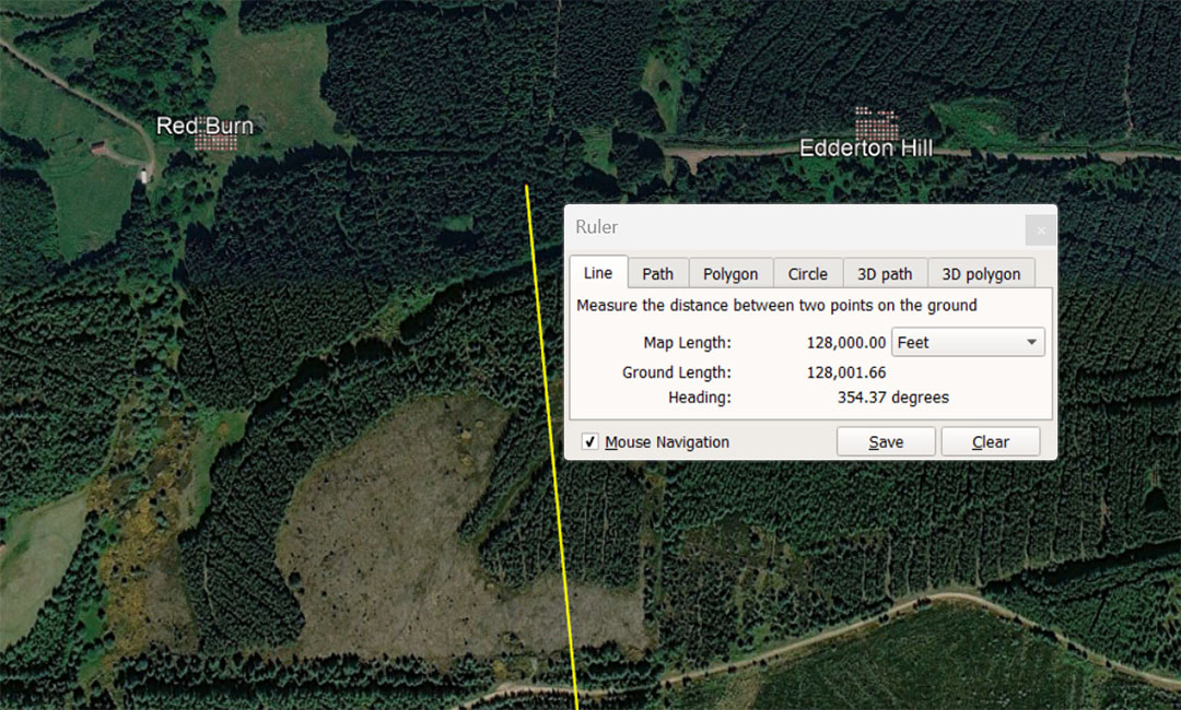
A line from the centre of Clava Cairns scoots by Morangie Forest Long Cairn @ 354.375° and resolves midway between Red Burn and Edderton Hill cairns @ 128000'. The ancient French Foot of 1.0666666' or 12.8 English inches was called the Pied du Roi and obviously had a very old pedigree, probably now untraceable to its original source.
The French fathom was 6 X 1.066666' or 6.4' feet of 12", called the Toise. For long distances the French had a Lieue (League) of 10,000 Pied du Roi or 10666.6666'. Under this system the 128000' (English feet) from Clava Cairns the midpoint between Red Burn and Edderton Hill would equate to 6 ancient French Lieue (Leagues).
By consequence a half Lieue of 5333.33333' (5000 Pied du Roi) would closely resemble the English mile of 5280'.
By navigating on the 354.375° coded lunar-year angle, orienteers striking forth from Clava Cairns could locate both Red Burn Chambered Cairn and Edderton Hill Long Cairn 6 Lieue hence.
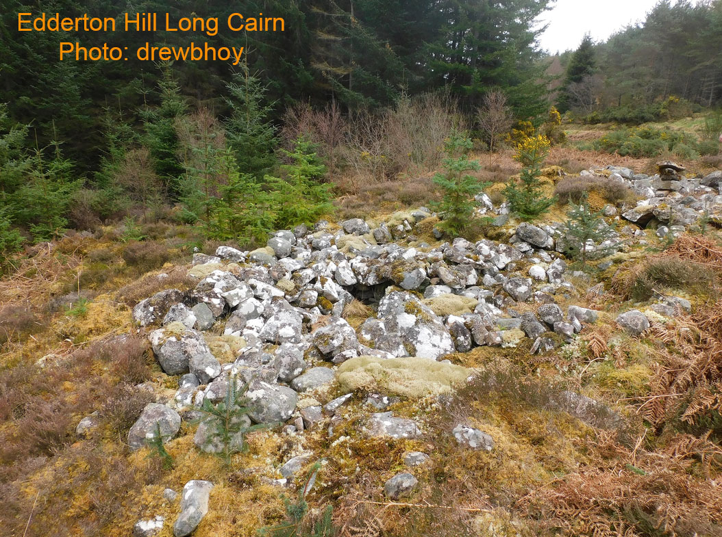
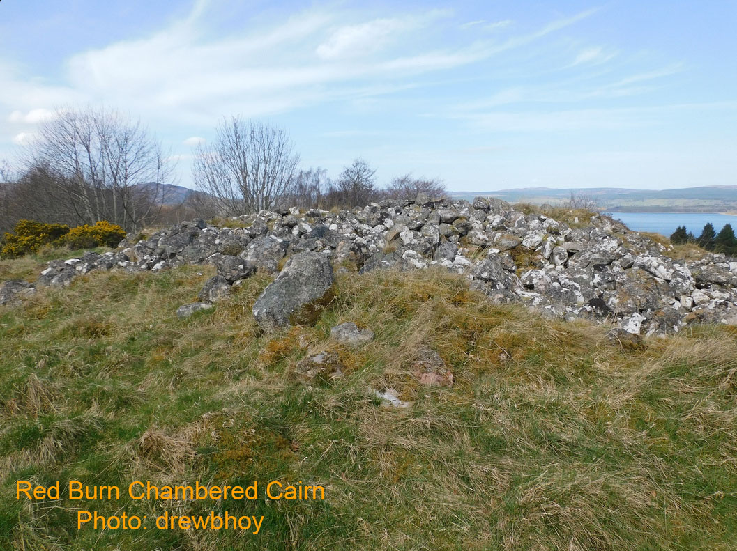
Red Burn chambered cairn overlooking Dornoch Firth.
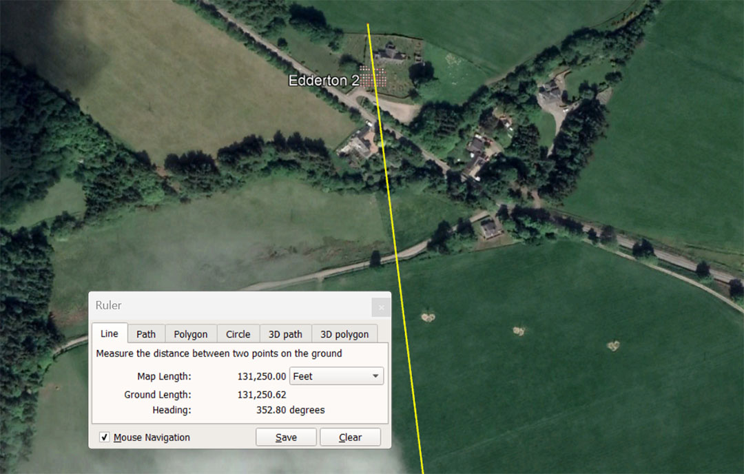
A line runs for 131250' from Clava Cairns centre to Edderton Church, where an ancient Pictish carved stone stands in the graveyard. Although the stone displays features of a far later era than other sites in this study, the church's position suggests far older usage of this site. The standing stone might well have been in place thousands of years earlier as an outer marker of the Clava Cairns school of navigation, and received the Pictish incising thousands of years later..
The degree angle back to Clava Cairns is a remarkable 172.8°, which was a much used code-bearing value in ancient computations, alongside the overland distance to this site.
We know that the ancient standing stone circle and other monument positions were often smothered, plundered for their stone for building Christian churches, thus eradicating all trace of the former, so-called Pagan structures. This led to the ages-old Scottish saying, "Going to the stones" ... when referring to going to church.
The distance of 131250' is 25 so-called Greek miles of 5250'. Also, a concept handed down to Mediaeval times was that 75 Roman miles equated to 1-degree of arc for the equatorial circumference of the Earth under the Roman method of navigation. The Roman foot was 11.664" and 5000 Roman feet was their mile of 4860 standard feet of 12".
However, the 11.664" foot worked perfectly in lunar calculations or in Weights, Measures & Volumes standards, but was complex to use in calculating distances for overland marching. They therefore used a foot of 11.666666" (11⅔) for distance calculations and 5000 such feet equated to a mile of 4861.11111'. Therefore, 75 such miles meant 1-degree of arc equating to 364583.333333333' X 360 = 131250000 Roman miles for the equatorial circumference.
Under the Roman mile, tailored for easily calculable overland marching, this distance of 131250' equates to 27 Roman overland miles.
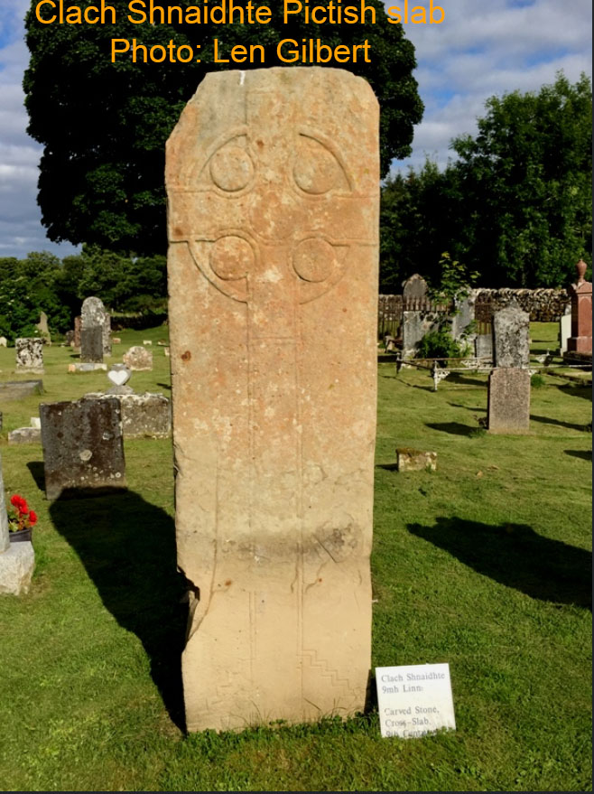
The standing stone adorned by a Celtic cross ... after the Picts had been Christianised one supposes. However, much earlier in history, actual "Celtic cross" items acted as a navigational tool at these schools of navigation and predated Christianity by thousands of years. It wasn't a Christian religious symbol or design at all during earlier epochs.
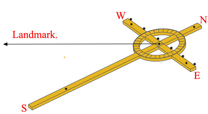
The Celtic Cross shown was scaled in AutoCAD to be 31.5" tall or 1/4th of a reed of 10.5'. At this length and with calibration marks at the rear, a seasoned astronomer-navigator would be able to do many calculations, including everything essential to tracking the daily sun and moon positions within the lunisolar, Sabbatical Calendar.
All other design features of the above cross, configured within the very exacting environment of AutoCAD, are similarly code-bearing, so that all lengths, breadths, circle diameters (ID & OD), as well as circumferences, could be used for mnemonic recall of calculation principles.
Anyone carrying this relatively small and lightweight cross as a navigational aid would also be able to do the following:
1. If you are lost, confused or off course, find a piece of bare, flat ground that is free of rocks or other surface debris.
2. Stand the cross vertically upright and solidly into the ground, facing the rising sun, then look at the shadow cast by the centre pole of the cross. Insert a fine peg or nail accurately into the ground at the edge of the shadow cast from the top of the cross.
3. About 10 to 15-minutes after putting the first nail into the ground, place yet another nail accurately at the point the shadow has moved to as the sun rose and the shadow shortened.
4. Repeat this process at about 10 - 15 minute intervals until there are 4 or more nails forming a straight line across the ground.
5. The first nail placed marks due West and the last nail placed marks due East.
6. Now remove the Celtic cross from its firmly affixed, vertical position and lie it down on the ground, with the cross arms touching the straight line of nails.
7. Using more nails, pin the cross to the ground so that it can't move.
8. The circle on the cross is divided into 32 sections and, on the outer rim of the circle are 360 knops* or calibrations.
9. The top of the cross now faces due North and the foot of the cross faces due South, with the left cross arm facing West and the right cross arm facing East.
10. Now place a nail with a string attached to it into a pre-drilled hole at the very centre of the circle.
11. One member of the orienteering team lies down to sight from the centre, while another team member walks out in the direction of a known landmark and pulls the string taut and straight. The observer at the cross then directs the string bearer to move left or right until the landmark target is perfectly centred. By reference to where the taut string passes over a knop calibration marker at the edge of the circle, the degree angle to the landmark can be read with excellent relative accuracy.
*Footnote: Knops are the small, raised relief, round button or dot objects that one traditionally finds adorning Celtic Crosses. They were widely used from the ancient Middle East to Ireland and the Brasen Sea of the Temple of Solomon had 600 knops, in two rows, under the brim for counts and calculations.
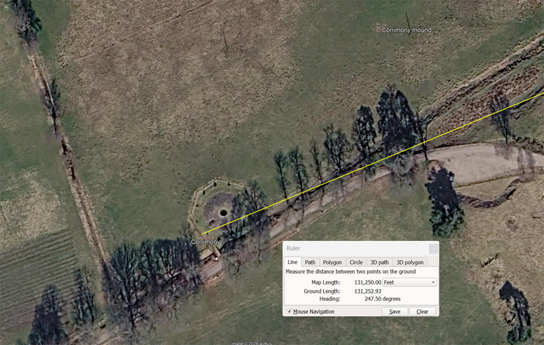
A line runs for 131250' from Clava Cairns centre to Corrimony Chambered Cairn The degree angle back to Clava Cairns is 247.5°, which relates directly to the 24750- mile (of 5280') equatorial circumference of the Earth @ 130680000'.
This is a repeat of the distance from Clava Cairns to Edderton Church:
The distance of 131250' is 25 so-called Greek miles of 5250'. Also, a concept handed down to Mediaeval times was that 75 Roman miles equated to 1-degree of arc for the equatorial circumference of the Earth under the Roman method of navigation. The Roman foot was 11.664" and 5000 Roman feet was their mile of 4860 standard feet of 12".
However, the 11.664" foot worked perfectly in lunar calculations or in Weights, Measures & Volumes standards, but was complex to use in calculating distances for overland marching. They therefore used a foot of 11.666666" (11 & 2/3rds) for distance calculations and 5000 such feet equated to a mile of 4861.111111. Therefore, 75 such miles meant 1-degree of arc equating to 364583.333333333' X 360 = 131250 Roman miles for the equatorial circumference.
Under the Roman mile, tailored for easily calculable overland marching, this distance of 131250' equates to 27 Roman overland miles.
At Newgrange and many other sites there have been repeat occurrences of a measurement of 2.475' or 29.7". This distance would be 1/2400th of the Scottish mile and the 247.5° angle from Clava Cairns to Corrimony Chambered cairn is in homage to the 24750-mile equatorial circumference of the Earth navigational method.
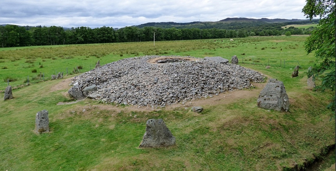
The very impressive Corrimony Chambered Cairn, ringed by outlier standing stones, just like one finds at Clava Cairns site. Again, the circuit of standing stones will carry distance and angle codes of position that can be deciphered by measuring the distance out from the cairn centre to the standing stone for one code, then the angle around from due north for the second code.
Tutors would have pre-known the code-bearing numbers implicitly and would use this site to teach the numbers to the initiates. Although the stones are rugged and rough, initiate-students would learn the specific numbers, within a range of possibilities, that the outlier stone complied with, and could identify the code or codes. Thereafter, they would know how to generate mathematical strings that led to identifying a whole end-number, as well as the primary divisions of that finalised number. These strings related to end results that described, perhaps, navigational methods, lunisolar Sabbatical calendar calculations, cyclic astronomy, etc.
Again, surrounding hills, ranges or prominent geological features could act as a fix-point for equinox and solstice solar rises or sets.
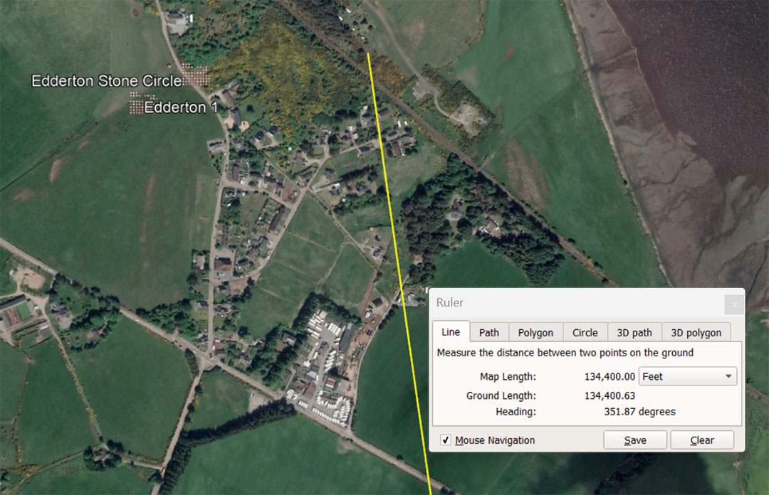
The leyline extends from Clava Cairns for 134400' @ a return angle of 171.875° to Clava. This distance is 25.6 Greek miles of 5250' or 20 ancient Irish miles of 6720''. The distance would also be 126000 French Pied du Roi or 12.6 ancient French Lieue (Leagues). This length would also equate to 69.120 ancient overland Swedish Rydaholmsalm of 1.94444444'.
The return angle to Clava Cairns @ 171.875°, in a mathematical progression, generates numbers related to measurements using the mid-sized Egyptian Royal cubit of 20.625". A length of 171.875' X 12 = 2062.5" or 100 Egyptian Royal cubits of 20.625". The ancient English League was 16500' or 9600 Egyptian Royal Cubits of 20.625". The English mile of 5280' is 3072 ERC of 20.625" and the ancient Scottish mile @ 5940' was 3456 ERC of 20.625".
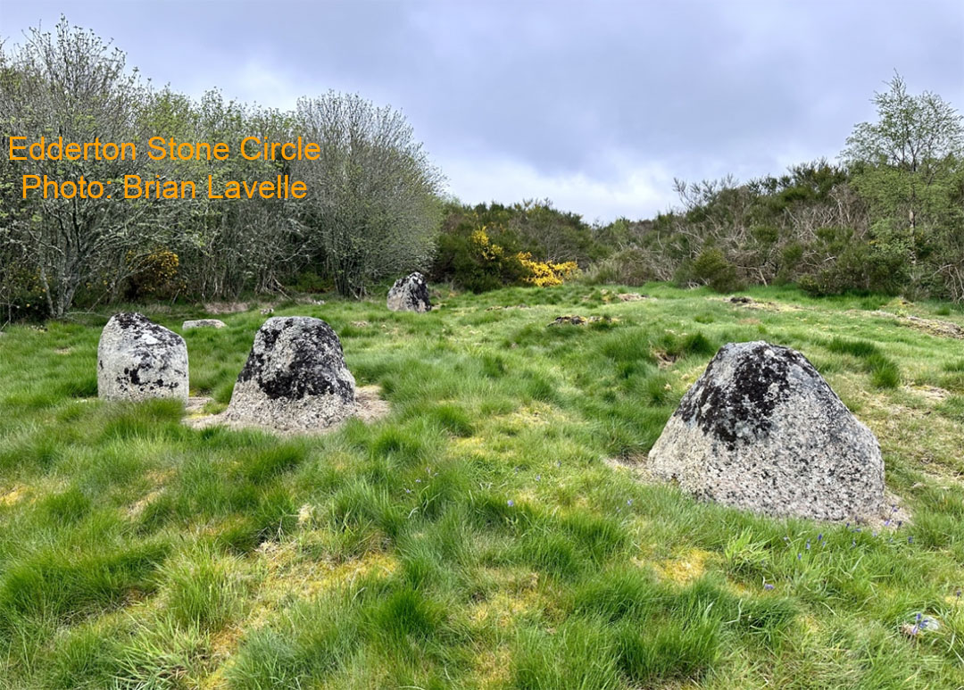
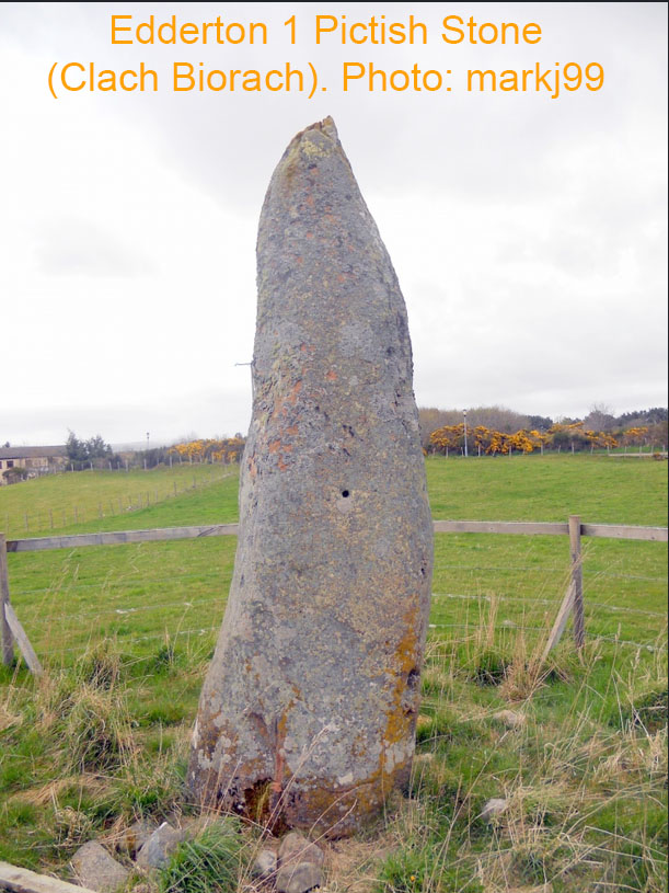
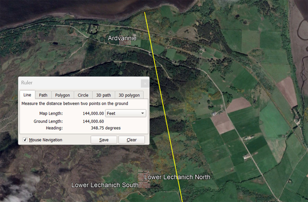
A leyline extends from the centre of Clava Cairns for 144000' at a return angle of 168.75°. This distance is 2.52° of equatorial arc. Antiquarian, John Michel, in his research around Taunton, Southwest England, found the recurrence of an ancient measurement that he labeled the "Geomancer's Mile". He assigned a value to it of 14400'. The 144000' from Clava Cairns to Ardvannie chambered cairn would be 10 Geomancer's miles. A mathematical progression based upon 144 generates a long string of very important numbers used in multiples of ancient calculations.
The return angle 168.75 has multi-use calculating functions. For example, the lunar year @ 354.375-days = 21 intervals of 16.875-days (405-hours). Orienteer students of navigation could locate the sites of Ardvannie or Lower Lechanich North & South by striking out on this leyline.
On this same angle vector, Lower Lechanich North & South sit at a distance of 138240' = 1/945th of the 130636800' equatorial circumference.
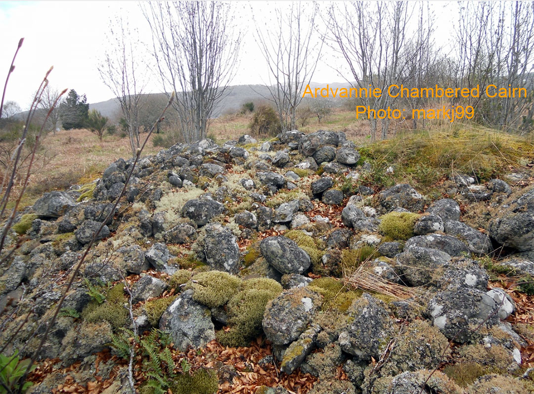
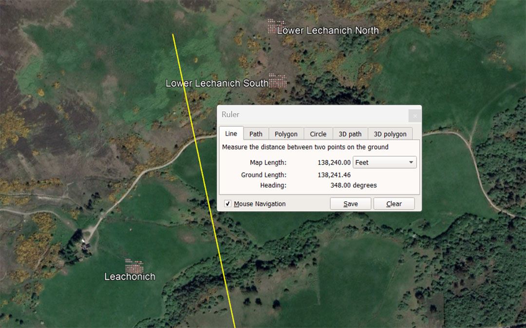
Another leyline to follow from Clava Cairns to the 3 Lechanich sites is this code-bearing vector that dissects them, running for 138240' @ 348° for a code-bearing return angle of 168°. There are 168-hours in a 7-day week. Also, an early era Hebrew cubit or rule was 16.8", which set up a dynamic mathematical string of numbers.
In the 24883.2-mile reading of the Earth's equatorial circumference the sum of 138.24-miles would be 1/180th. Also, in the "foot" reading of the equatorial circumference, 130636800' ÷ 138240' = 1/945th. The 138240' distance is also 129600 Pied du Roi and 6.48 ancient French Lieue (Leagues).
Lower Lechanich North & South are described as Chambered "Tombs", whereas Leachonich is described as a Broch or Nuraghe. Logic would have it that these were laboriously built as ancient, temporary dormitories for droves of transient student navigators, coming and going and in need of shelter out of the elements.
The 138240' leyline from Clava Cairns to Leachonich is also 4 Egyptian Atur based upon 20.736" (1.728'...the largest Egyptian Royal Cubit) X 20000 = 34560'. As it turns out, 345.6-miles = 1/72nd of the 24883.2-mile equatorial circumference.
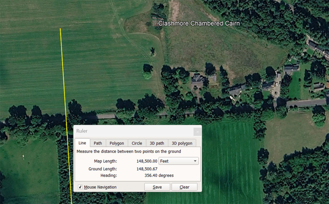
A leyline extends from Clava Cairns centre for 148500' @ 356.4°. This distance is 28.125-miles of 5280' or 9 English leagues of 16500' (3.125-miles). 356.4 divided by 11 = 64.8 ... 3564' is .675 of a mile of 5280. 3564' is 2073.6 X 20.625.
With regards to the angle of 356.4°, there would be 356.4 X 343750 Pied du Roi in the 130680000'equatorial circumference of the Earth .... Therefore 130680000' ÷ 356.4 = 366666.66666' ÷ 1.0666666 = 343750.
This is a lesser used mathematical string progression value.
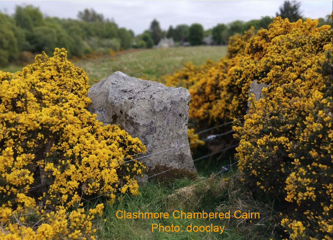
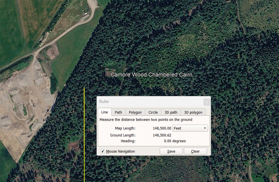
A line extends from Clava for 148500' @ 0° to Camore Wood chambered Cairn. The distance is 28.125 miles of 5280' or 25 ancient Scottish miles of 5940'. This distance is also 9 Leagues of 16500' (3.125- English miles of 5280'). This vector would also put students of navigation into the near vicinity of Evelix Bridge Chambered Cairn or Drumdivan Menhir.
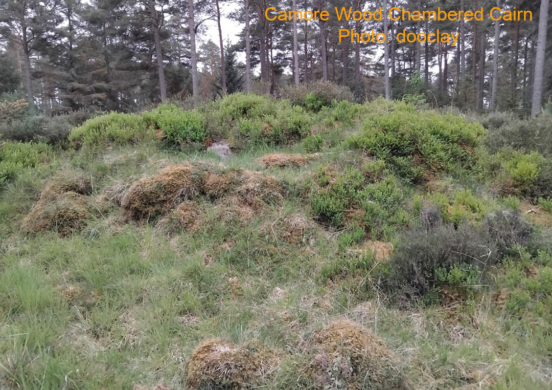
Camore Wood Chambered Cairn is heavily overgrown.
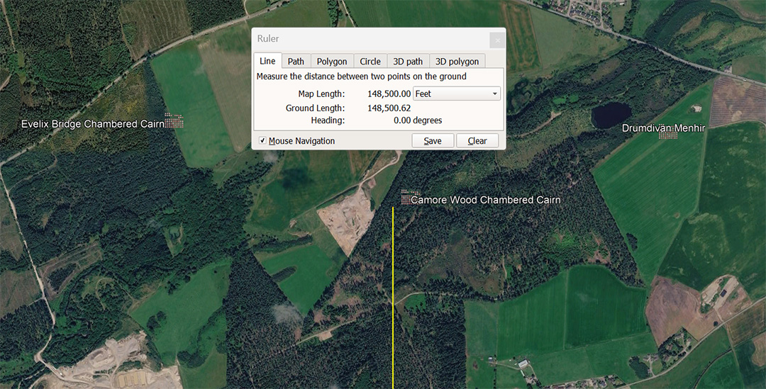
The vector from Clava terminates at Camore Wood Chambered Cairn, with Evelix Bridge Chambered Cairn to the WNW and Drumdivan Menhir to the ENE.
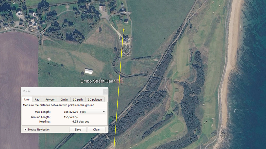
A line extends from Clava Cairns for 155520' @ an intended, coded angle of 4.536°. This distance is 1/840th of the equatorial circumference of the Earth under the 130636800' assignment. This distance is also 90000 Egyptian Royal Cubits of 20.736" (1.728') . It is also 4.5 Egyptian Atur. The degree angle of 4.536° is in homage to the height of the Great Pyramid (a truncated pyramid) to the level of its altar flat floor @ 453.6' or 264 ERC of the smallest Royal Cubit of 20.61818182" (derived by dividing the side length of the Great Pyramid by 440. Therefore 756' ÷ 440 = 20.61818182"
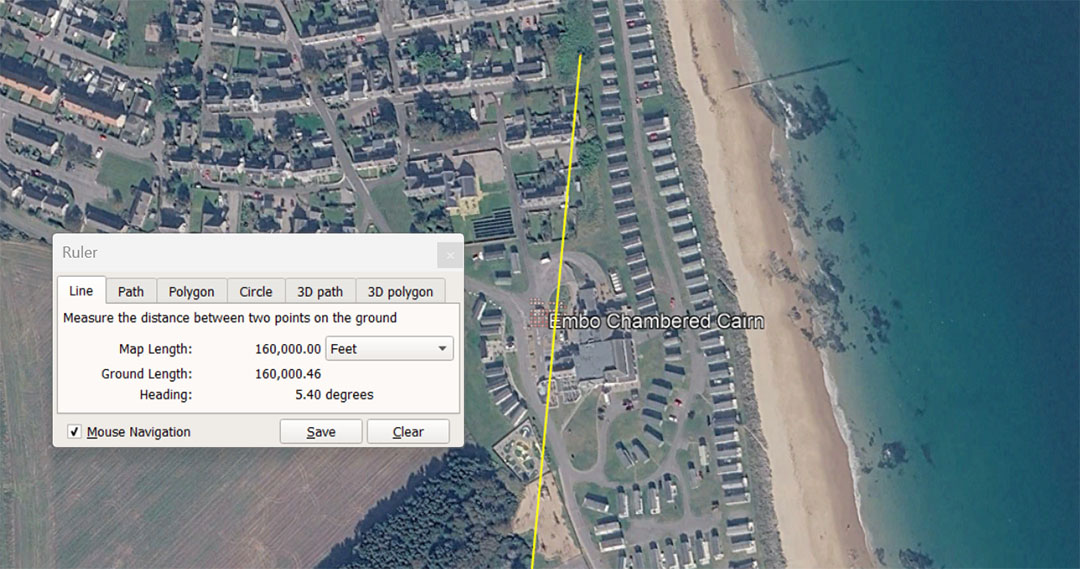
A line extends from Clava Cairns for 160000' @ 5.4°. This distance is 150000 Pied du Roi or 15 Lieue. The angle coding relates to 1/2 of 100.8' (1 second of equatorial arc under the 130636800' navigational method, based upon the literal perimeter dimensions of the Great Pyramid).
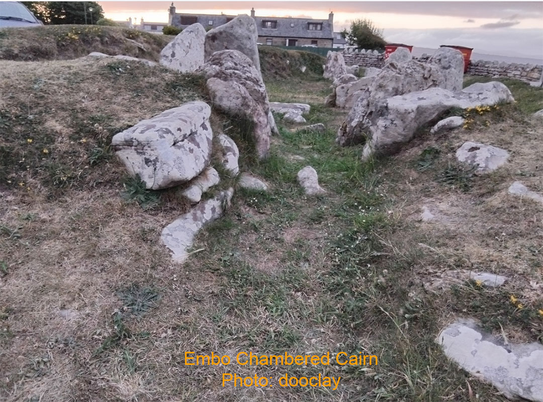
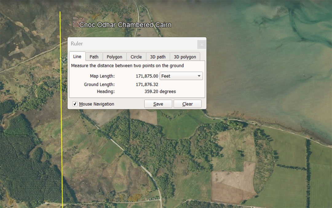
A line extends from Clava Cairns for 171875' to Cnoc Adhar Chambered Cairn at a return angle of 179.2°. This distance is 100000 of the middle-sized Egyptian Royal Cubits @ 20.625" and conceivably 5 Egyptian Atur, based upon the mid sized ERC X 20000. It is also 31250 Merchant fathoms of 5.5',
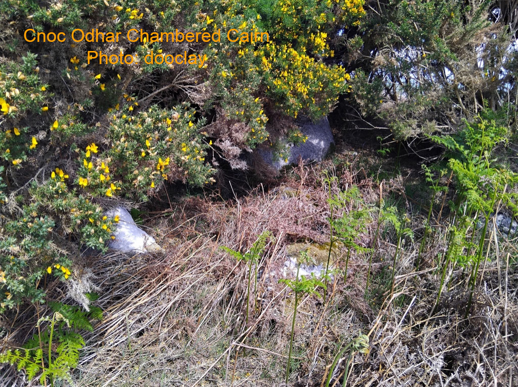
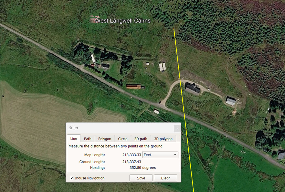
The leyline distance from Clava Cairns to West Langwell cairns was coded to be 213333.33' at a return angle of 172.8°. The distance is 20 ancient French Lieue (Leagues). The angle encodes a dynamic number much used in ancient calculations For example: The largest of the 3 ancient Egyptian Royal Cubits was 1.728' or 20.736". The cubic capacity of a cubic foot ... 12 X 12 X 12 cubic inches = 1728" cu.
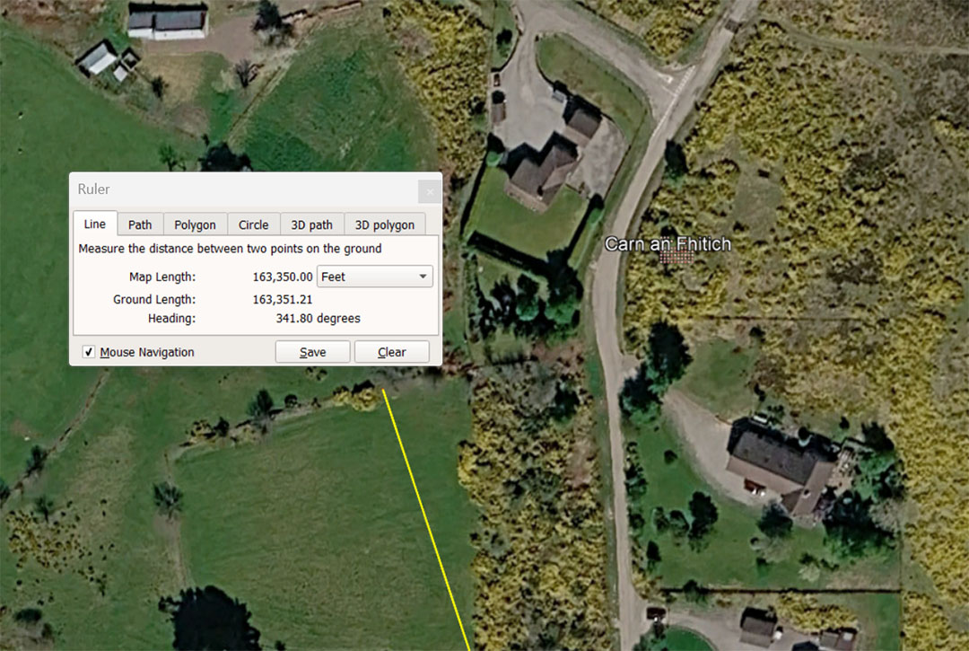
The line from the centre of Clava Cairns is 163350' @ a return angle of 161.8° (intending to encode the PHI ratio of 1.6180339). This distance is 27.5 ancient Scottish miles of 5940' or 30.9375 (30¹⁵⁄₁₆) English miles of 5280'. It is also 9.9 English leagues of 16500' and the distance of 163350' is 1/800th of the 130680000'equatorial circumference of the Earth under the 5280'-mile navigational system (24750-miles).
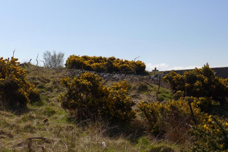
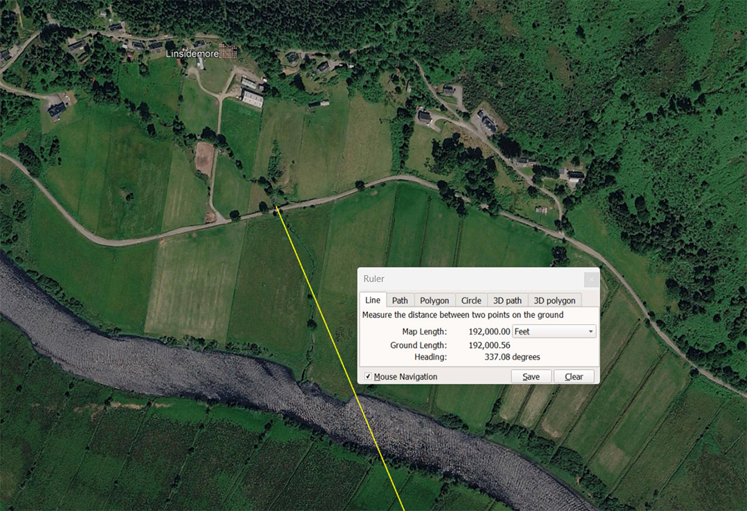
A leyline extends from the centre of Clava Cairns for 192000' @ a return angle of 157.08° to Linsidemore standing stone circle. The distance is 1/680.4th of the 130636800 equatorial circumference of the Earth under the 5250'-mile navigational system. The value, 6804-days was anciently used to describe the duration of the Lunar Nutation cycle and was very important to ancient generations, handing down weather records, such that their progeny could predict weather conditions, with relative accuracy, throughout subsequent cycles. Also, the length of 192000' would equate to 1.89 degrees of equatorial arc. It will be recalled that the Great Pyramid @ 756' length per side = 189' X 4.
The return degree angle of 157.08° is coding in homage to 1/2 of the PI ratio (3.1416 to 1) = 1.5708. This angle would also have been used for mnemonic recall of other close variations of PI used when calculating the circumferences of circles when using different number families ... 22/7ths, 1728/550ths, etc.
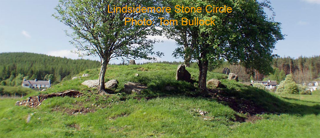
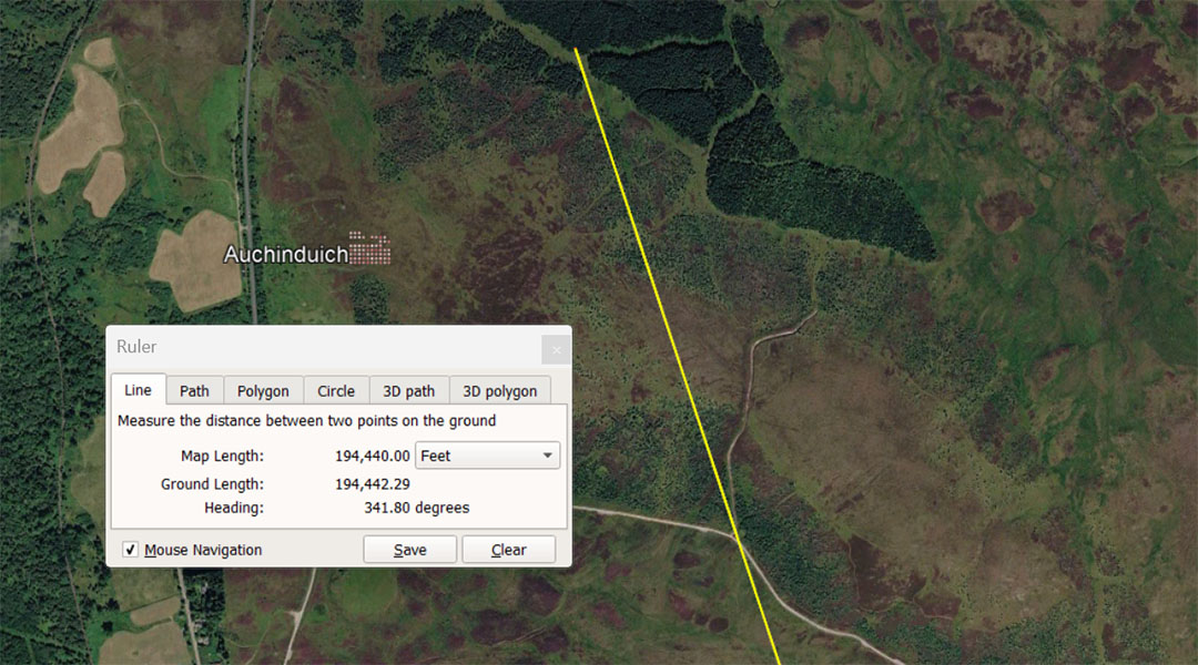
The leyline from Clava Cairns extends for a coded distance of 194400' at a return angle to Clava of 161.80° (coding the PHI ratio of 1.6180339 to 1). The distance is 40 Roman miles of 4860' (5000 Roman feet of 11.664"). The same distance equates to 100000 Swedish Rydaholmsalm. For overland marching the Roman foot was adjusted by 1/375th of an inch to be 11.666666", making the Pace (5 Roman feet) increase from 58.32" to 58.333333" and their mile 4861.111111. The same applied to the Swedish Rydaholmsalm, increasing from 1.944" to 1.9444444" (23.328" to 23.333333").
The 194400' distance would be 1/672nd of the 130636800 equatorial circumference (24883.2-miles of 5250') or 194.4-miles would be 1/128th of the equatorial circumference under the 24883.2-mile reading.
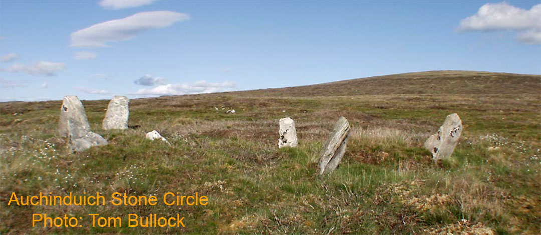
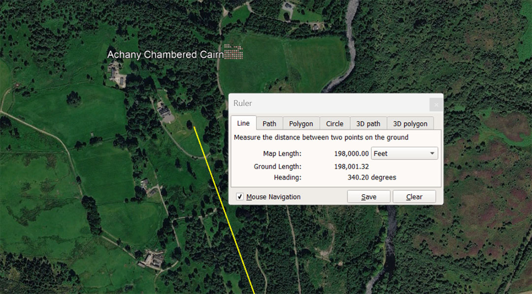
The leyline runs for 198000' from Clava Cairns on and angle of 340.2° . The distance code relates in a dynamic way to the diameter and circumference of the Earth and is 1/660th of the 130680000 equatorial reading using the mile of 5280' (24750-miles). Under this method of navigation the Earth was read as 7920-miles in diameter or 198-miles X 4. The sum of 198000' = 37.5-miles of 5280' or 33⅓ Scottish miles of 5940'. It is also 12 ancient English Leagues of 16500' (3.125 miles).
The degree angle from Clava codes the 6804-day Lunar Nutation Cycle, the half duration of which is 3402-days.
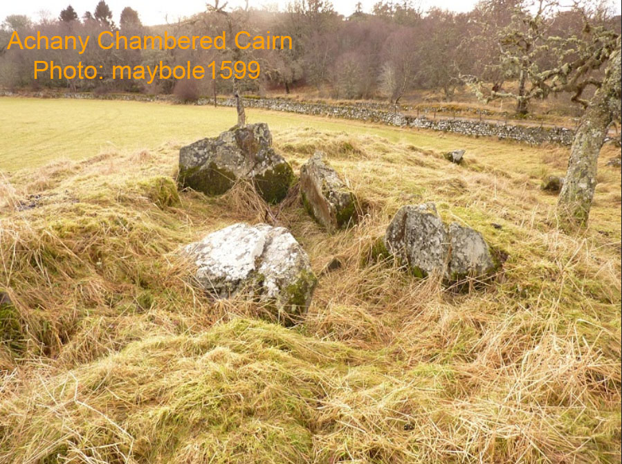
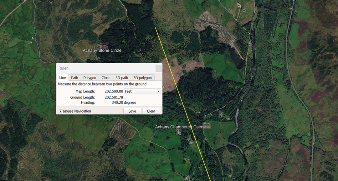
The distance from the centre of Clava Cairns is 202500', using the same 340.4 degree angle that orienteers used as their code-bearing leyline to locate Achany Chambered Cairn. The distance of 202500' relates to lunar cycle coding and is 41⅔ Roman miles of 4860'. The value 20.25, in a mathematical progression, generates strings of the very important lunar cycle and navigational numbers.
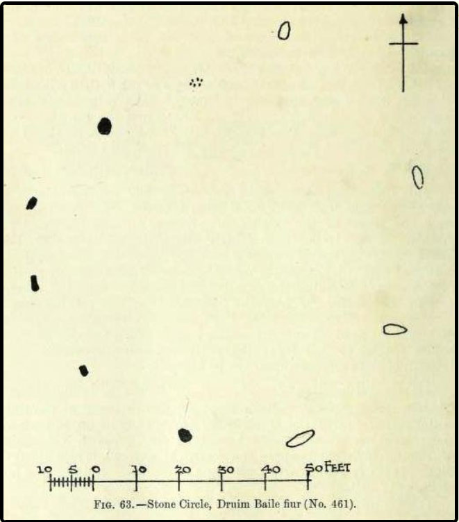
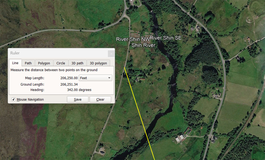
This distance from Clava Cairns is 39.0625-miles (39¹⁄₁₆) of 5280', but the main increment of measurement, in this case, is the midrange Egyptian Royal cubit of 20.625". This leyline from Clava is 120000 Egyptian Royal cubits in length. There would be 3072 such cubits in an English mile and 3456 such cubits in an ancient Scottish mile of 5940'. Both renditions (3072 or 3456) are highly important to ancient computations. For example: for a world configured to be (for navigational purposes using factorable numbers) 24883.2-miles in circumference, the sum of 345.6-miles would be 1/72nd division.
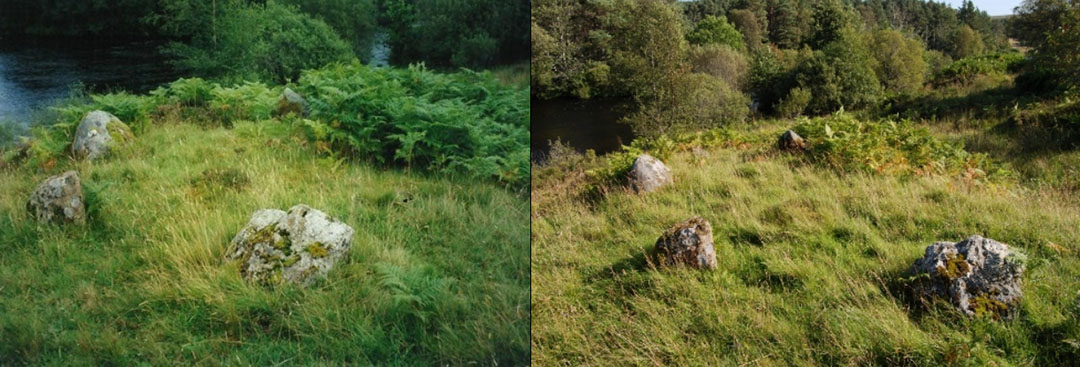
The 3 standing stone circles at the Shin River sites.
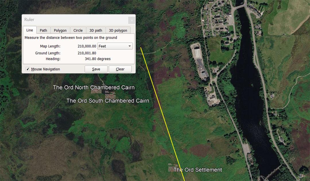
A leyline runs from the centre of Clava Cairns for 210000' at a return angle of 161.8° (again coding PHI @ 1.6180339). The line dissects The ancient Ord settlement at a distance from Clava very close to 20736', coding the largest Egyptian Royal Cubit @ 20.736". The distance to the Ord Settlement would therefore have been considered to be 120000 ERC. This distance would also equate to 1/6336th of the "true" equatorial circumference, anciently calculated to be 131383296' or 24883.2-miles of 5280' each.
The 210000' to the chambered cairns of Ord North & South = 40 Greek miles of 5250' each . It is also 196875 Pied du Roi of 1.06666666'. Note: The ancient "Beqa" grain-weight for the Egyptian, Greek and Roman gold standard was 19.6875-grains and this is a strong lunar-cycle, code-bearing number.
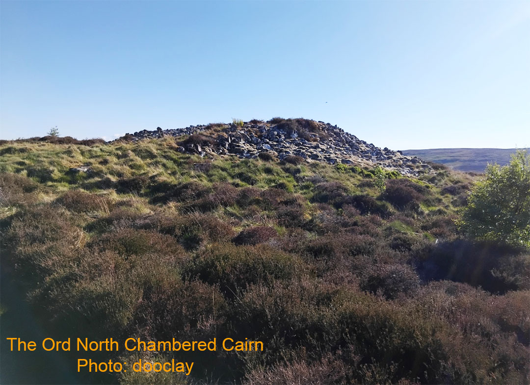
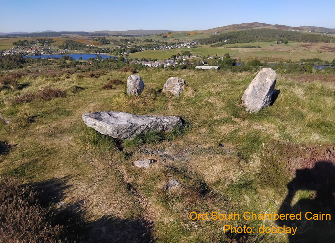
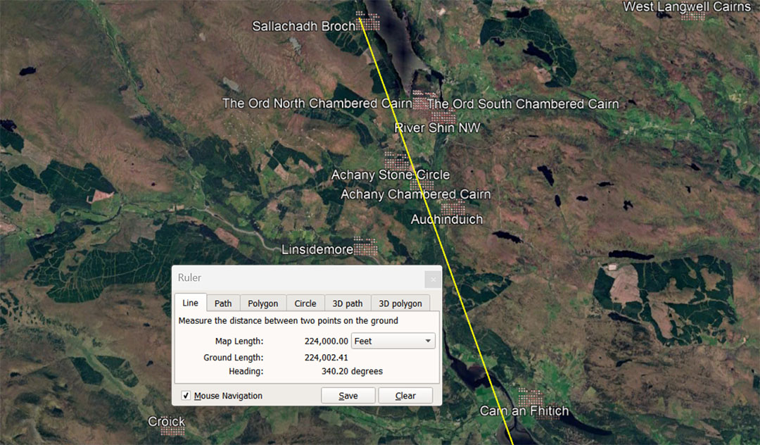
The 340.2° vector, on its way to Sallachadh Broch dissects through a considerable number of significant sites.
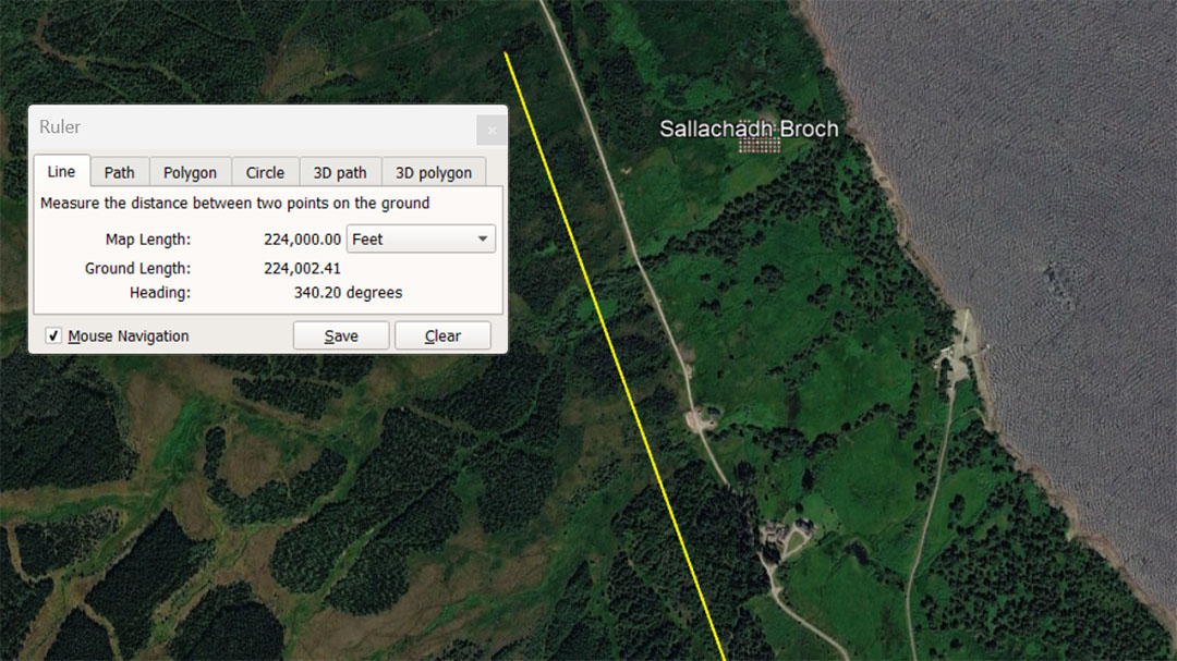
The leyline from Clava to Sallachadh Broch (also called Sallachy) is 224000' @ 340.2°. This distance is 42⅔ miles of 5250' or 33⅔ Irish miles of 6720'. The distance would also equate to 1/583.2nd of the 130636800' equatorial circumference of the Earth. Note; The Roman Pace was 58.32". The distance would also be 210000 Pied du Roi.
The degree angle simply codes (again) the Lunar Nutation cycle of 6804-days.
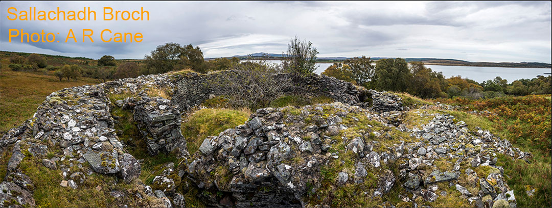
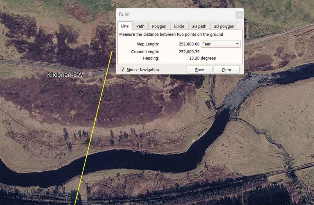
The leyline from the centre of Clava Cairns to the Kildonan SW stone alignment is 252000' of distance, at a code-bearing angle of 13.2°. Both the distance and angle are navigational codes. The leyline, at a length of 252000' is 48 so-called Greek miles of 5250' each. Of course this exact measurement standard was used in the dimensions of the Great Pyramid and pre-dates Greek civilisation by thousands of years. The degree angle is 13.2° and this value in a mathematical progression generates all the essential numbers that relate to navigation by the 5280' mile and 132' is 1/40th of an English mile or 1/45th of an ancient Scottish mile.
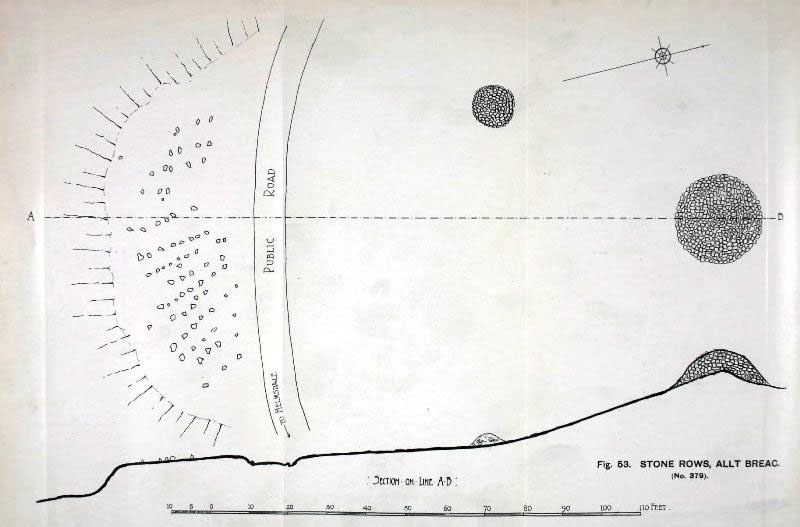
The stone rows have now been eradicated due to road widening and over 70 stone positions were destroyed.
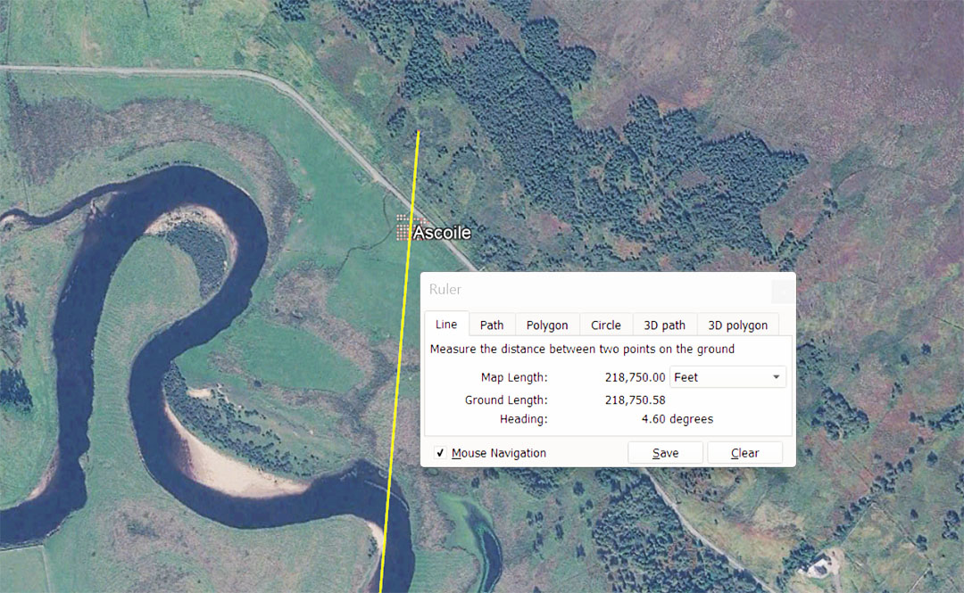
The distance from Clava Cairns to this small henge circle is a code-bearing distance of 218750' @ 4.608°. This leyline is 41⅔ Greek miles of 5250' It is also 45 Roman overland-marching miles of 4861.11111' each or 1000 marching-Paces of 58.333333" each. This distance is also 112500 Swedish Rydaholmsalm of 1.944444' or 23.333333". The degree angle, given here under the code-bearing value as 46.08° is navigational. and 4608'would be 1/28350th of the 130636800' equatorial circumference. Note: the Khafre Pyramid (a Pyramid of the Moon) is 2835' for one complete circuit (all 4 sides).
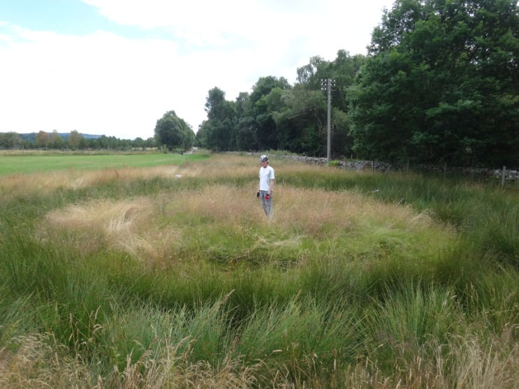
The Ascoile-type Henge would typically look about like this.
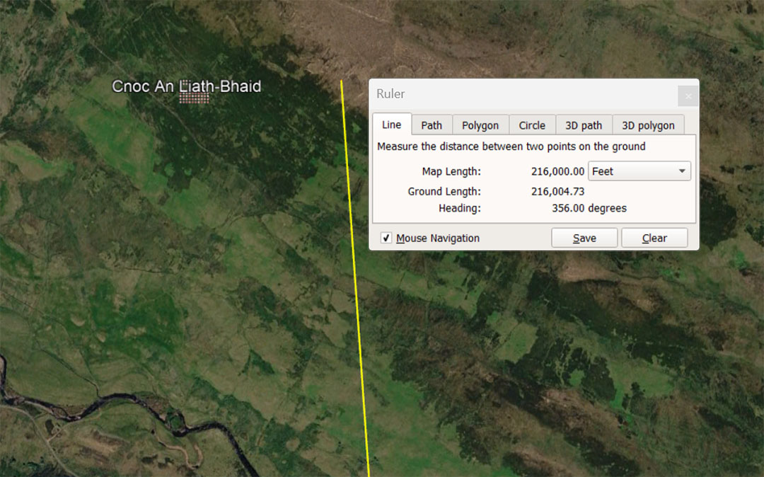
The distance from the centre of Clava Cairns to Cnoc An Liath-Bhaid standing stone circle is 216000'@ a return angle of 176°. There would be 21600 minutes of arc in the 130636800' equatorial circumference of the Earth. Also, the Sun spends 2160-years in each house of the Zodiac during the 25920-year Precession of the Equinoxes. This distance (216000') would equate to 20.25 Lieue (Leagues ... 10000 Pied du Roi of 1.066666' each ... 12.8").
The return angle to Clava is navigational under the 130680000' reading of the equatorial circumference of the Earth (24750-miles of 5280'). The sum of 1760' is 1/3rd of a mile and there are 3' in a Yard (36").
The ancient English Winchester bushel capacity was 2160 cubic inches* (270" sq for the base of a round tub), with sides protruding above the base for 8"). The diameter of the circular base was 3 X 6.18034" (the PHI reciprocal of 10").
* Due to a tiny degree of drift amounting to .04102" (1/25th of an inch), the original bushel's round base diameter fell very slightly less than the 2160" cu number it was supposed to preserve and the American bushel (2150.42"cu) is now 9.58" cu less than what it was coded to be in remote antiquity.
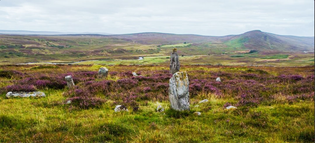
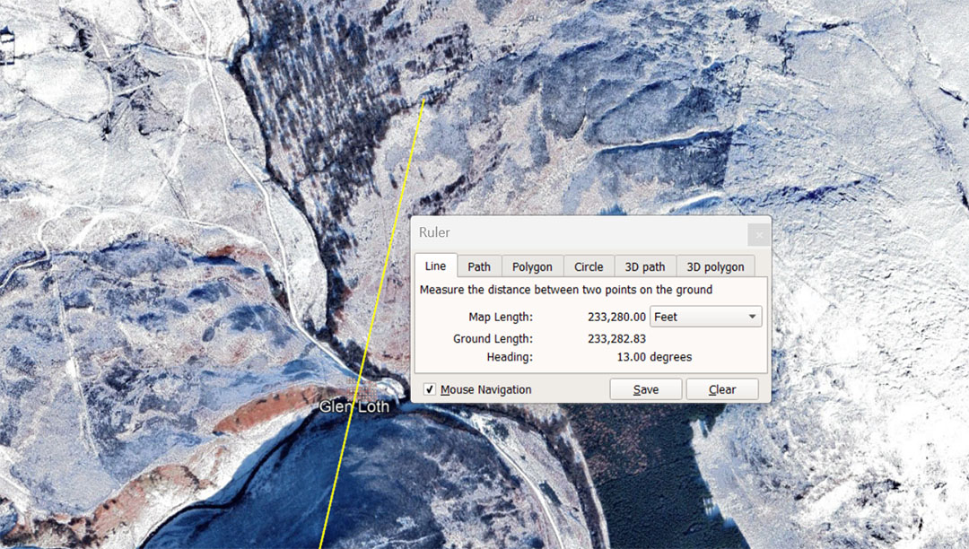
A leyline runs for 233280' (also rendered 233333.333333') from Clava Cairns to Glen Loth standing stones @ an angle of 13°. This distance is 48 Roman miles of 4860'... also rendered 4861.111111) or 120000 Swedish Rydaholmsalm.
This is also 6⅔ Swedish Mil of 35000' (of 12"). This distance is also 21.87 Lieue or 218700 ancient French Pied du Roi (1.0666666'or 12.8"). This distance is divisible also by the largest of the 3 Egyptian Royal Cubits of 20.736" and 233280' = 135000 ERC or 6.75 Egyptian Atur.
The distance, when rendered as 233333.333333' overland-marching feet, is 44⁴⁄₉ Greek miles of 5250'.
The 13° angle from Clava to Glen Roth is in homage to the 13-months of 28-days (364-days) peasant or agrarian, lunisolar Sabbatical Calendar. It was left to run for 7-Solar years, accruing 8.75-days of error. In the 7th or Sabbatical year intercalary days were inserted by way of a 9-day festival and the new Sabbatical count could resume again fully corrected.
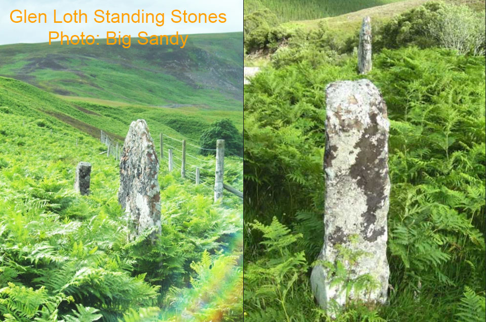
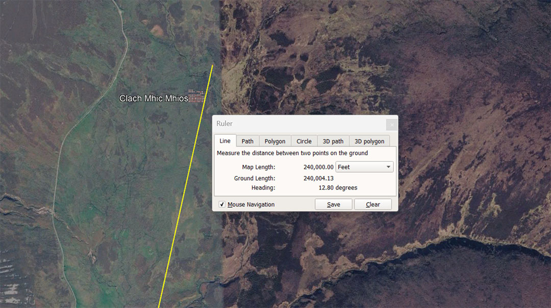
A leyline extends from Clava Cairns for 240000' @ 12.8° to Clach Mhic Mhios standing stone. This distance is 22500 Pied du Roi of 1.06666666' or 22.5 ancient French Lieue.
The 12.8° angle's code-bearing attributes, in a mathematical progression string, generate very important numbers for navigation , ancient weights standard, etc.
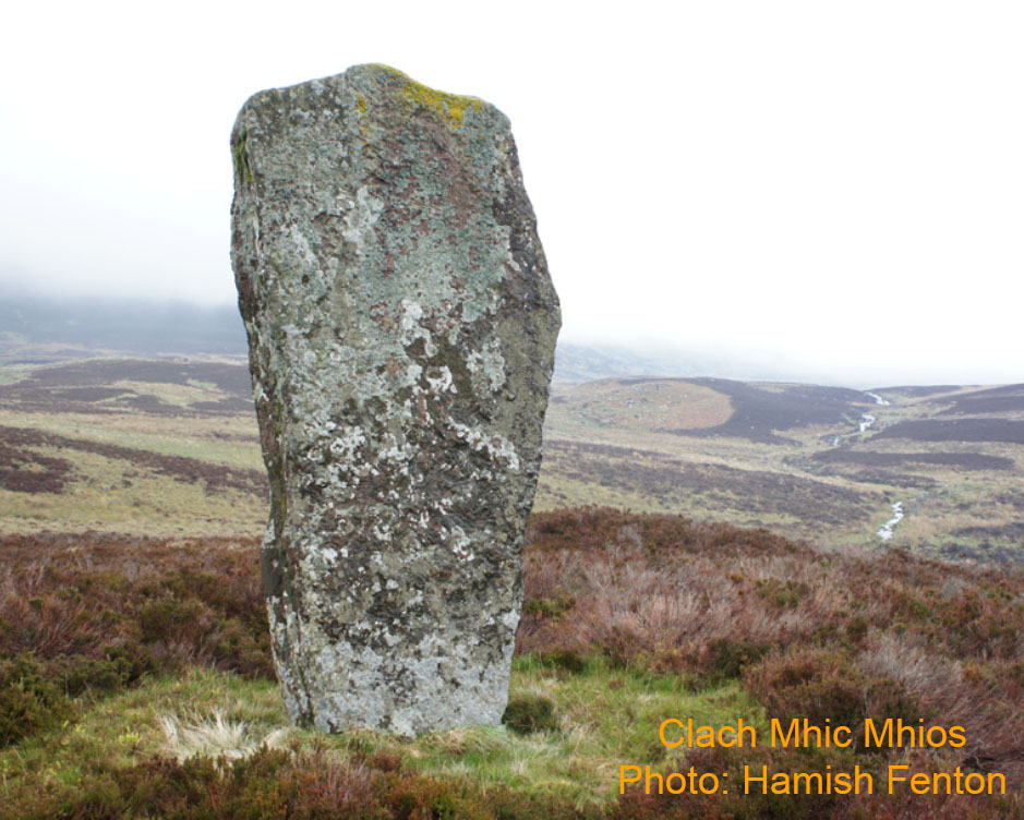
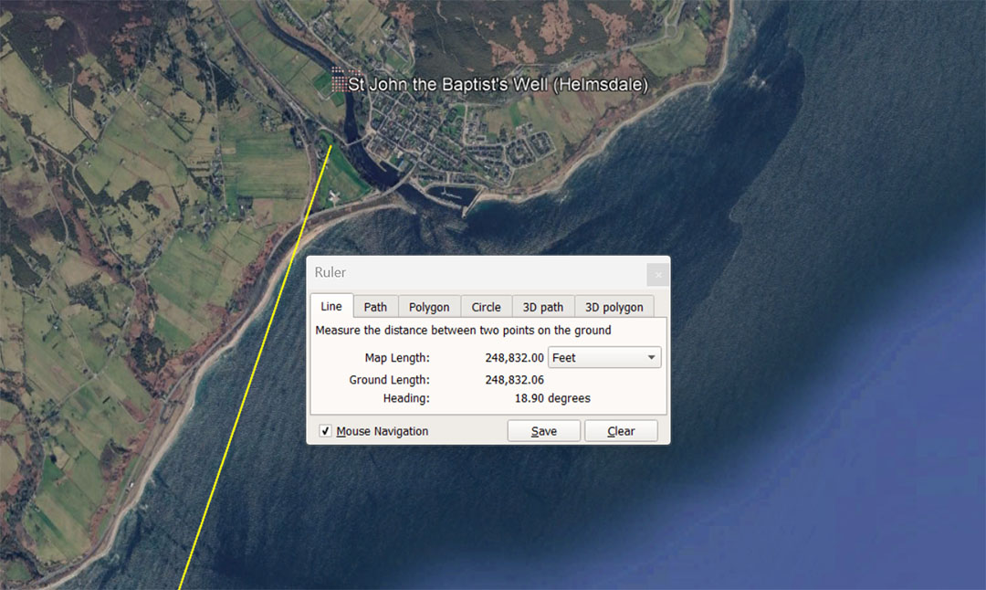
This ancient well seems to have been in place before St Donan began Christianising the regional Celtic Picts in the 6th century AD. It sits 248832' from the centre of Clava Cairns on a code-bearing angle of 18.9°,
The distance of 248832' is in homage to the 24883.2-mile equatorial circumference of the Earth, used in conjunction with two separate navigational systems:
The first of these was the 12 X 12 X 12 X 12 X 1.2 Greek miles of 5250' each = 24883.2-miles or 130636800'. Under this reading the 248832' from Clava to the John the Baptist well would equate to 1/525th of the equatorial circumference of the Earth.or 51.2 Roman miles of 4860'.
The 2nd of these was the 12 X 12 X 12 X 12 X 1.2-miles of 5280' each = 24883.2 English miles or 131383296'. Under this reading the 248832' from Clava to the John the Baptist well would equate to 1/528thth of the equatorial circumference of the Earth.or 233280 Pied du Roi or 23.328 ancient French Lieue (leagues). This length from Clava would also be 7.2 Egyptian Atur or 144000 Egyptian Royal Cubits of 20.736" (1.728)'.
The 18.9° angle is also navigational and 189' is 1/4th of one side length of the Great Pyramid or 1/32nd of 1-minute of equatorial arc (6048') under the 5250' mile reading of the Earth's equatorial circumference.
This same length would also give mnemonic recall to the 24750-miles of 5280' navigational method and its calculation attributes.
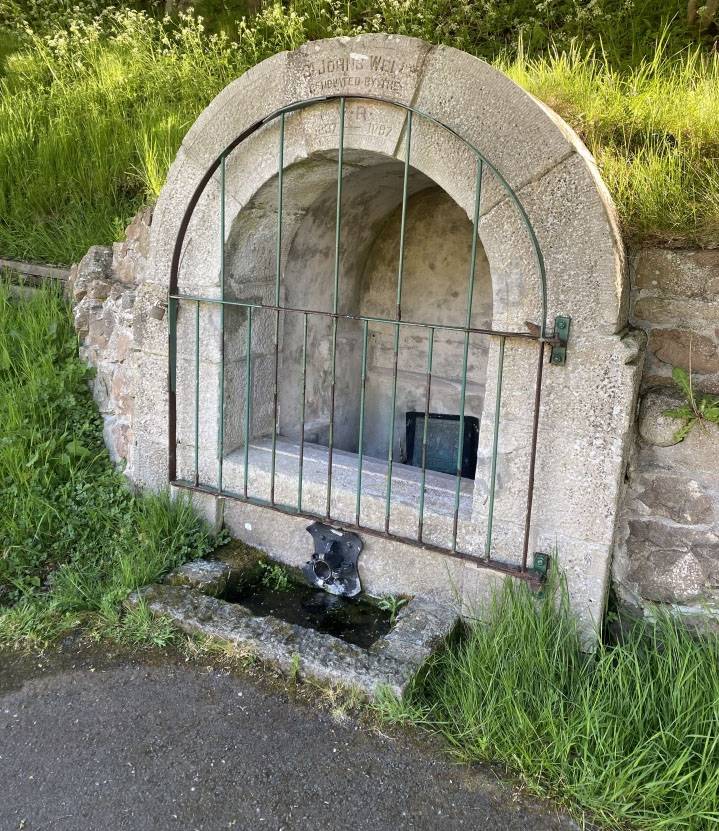
St John the Baptist Well ... Early Christian missionaries realized they could not stop the Picts from venerating these ancient springs. Instead of destroying them, Christian clergy adopted and co-opted them by building stone well-houses over them and re-dedicating the ancient wells to Christian saints, This area was associated with early Celtic Christianity. A missionary monk named Saint Iain (which translates from Gaelic to English as John ), who was a disciple of the prominent Pictish missionary Saint Donan (6th century), established a small monastic cell at the site. The local population likely associated the well with "Saint John" from the 6th century onwards.
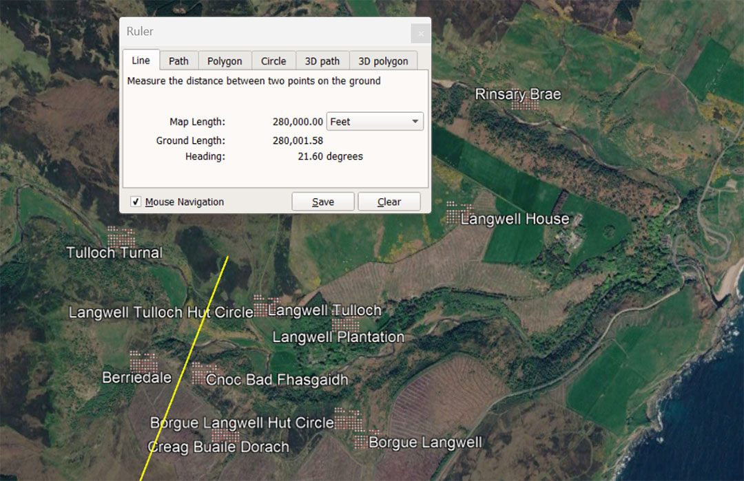
A leyline extends from the centre of Clava Cairns for 280000' @ 12.6° and resolves within a close-knit complex of structures, all reasonably accessible on this vector. The distance is 53⅓ miles of 5250'. It is also 262500 Pied du Roi and 26.25 Lieue (leagues). Note: the 5250' Greek mile is 2625' X 2. Also, this distance is 57.6 Roman overland-marching miles of 4861,11111' , as well as 144000 Swedish Rydaholmsalm of 23.33333" (1.944444'). The 280000' would also be 8 Swedish miles of 35000' each. or 1/466.56th of the 130636800' equatorial circumference reading. Note: 46.656 ÷ 2 = 23.328 (Rydaholmsalm numbers).
The degree angle for travel @ 21.6° relates to 2160-years ... the number of years that the sun spends in each House of the Zodiac during the 25920-year duration of the Precession of the Equinoxes. The ancient English bushel measure was originally 2160 cubic inches ... based upon a PHI reciprocal measurement of 10" ÷ 1.6180339 (PHI) = 6.18034" X 3 = 18.54102" of diameter for the round base = 270" sq, with sides extending above the base for 8" = 2160"cu. The formula given for the Winchester Bushel was:
THE WINCHESTER BUSHEL
'And to the End all His Majesties Subjects may know the Content of the Winchester Bushel whereunto this Act refers, and that all Disputes and Differences about Measure may be prevented for the future, it is hereby declared that every round Bushel with a plain and even Bottom, being Eighteen Inches and a Halfe wide throughout, & Eight Inches deep, shall be esteemed a legal Winchester Bushel according to the Standard in His Majesty's Exchequer.' ... 1696.
One of the casualties, seriously affected by "drift" occurring in cubic capacity measures, rendering them unable to encode the true, original coded number, was the bushel. Due to a mistaken rendition of its true, intended ancient capacity in 1696, the Americans adopted a bushel of 2150.42 cubic inches. The original bushel was, assuredly, meant to encode how the Sun, during the long cycle of the Precession of the Equinoxes spends 2160-years in each of the Houses of the Zodiac.
By 1696, the ancient formula for this capacity, using the PHI reciprocal, had been forgotten and the diameter of the base was now 1/25th of an inch too short to achieve the code-bearing capacity of 2160" cu. All ancient Weights, Measures and Volumes had to encode special scientific numbers without exception.
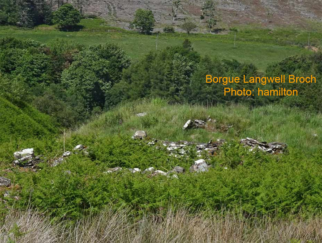
One of the significant structures in the Borgue Langwell regional complex.
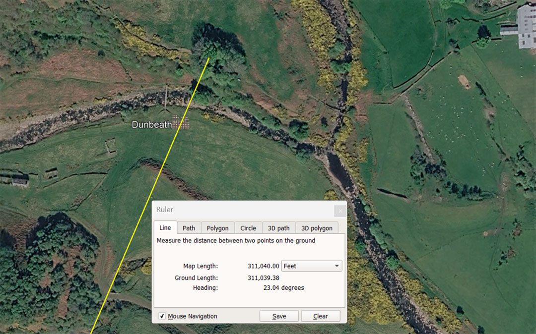
A leyline extends from the centre of Clava Cairns to Dunbeath Broch for 311040' @ a code-bearing degree angle of 23.04° . This distance is strong navigational coding. In reading the equatorial circumference of the Earth as 24883.2-miles, 1/8th division is 3110.4-miles. This distance traversing the Scottish highlands is 64 so-called Roman miles of 4860' each. It is also 291600 Pied du Roi or 29.16 ancient French Lieue. At the same time it is 160000 Rydaholmsalm of 1.944' and also 9 Egyptian Atur of 34560' each (20.736" or 1.728' X 20000) ... based upon the largest of 3 Egyptian Royal Cubits @ 20.376" ... the widths of the paving slabs at the base of the Great Pyramid.
The conversion numbers mentioned above, 29.16 and 1.944 occur often in ancient computations within navigational systems. Twice 29.16" = 58.32" and this length was 5 Roman feet of 11.664" (also rendered as 58.33333"or 11.66666" and called a Pace). Also, in the 24883.2-mile reading of the equatorial circumference 194.4-miles would be 128th division.
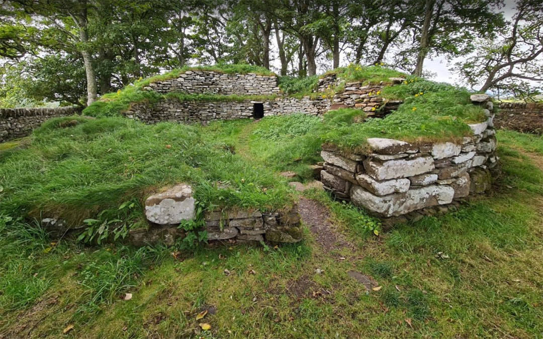
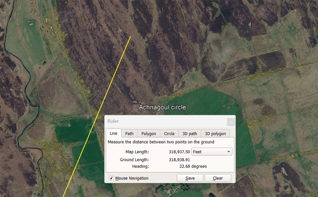
A leyline extends from Clava for 318937.50' @ 22.68°. The length of a specialised lunar related code equates, in distance, to 65.625 (65⅝) Roman miles of 4860'. It is also 60.75 (60¾) Greek miles of 5250'.
The lunar year is 354.375-days and 318.9375 (318¹⁵⁄₁₆) is 9/10ths of the lunar year. Also, in the workings of the lunisolar Sabbatical Calendar 7-solar years (2556.75-days) were daily tracked on a parapegma plaque (the Calendar of Coligny) alongside 7.2 lunar years (2551.5-days). The sum of 318.9375-days is 1/8th of 2551.5-days.
As involved as these kinds of counts and computations may seem, ancient mathematicians / astronomers had to use manual counting or calculating systems (an abacus) to stay abreast of where the Earth was positioned within the lunar cycle, especially when monitoring the 6804-day long Lunar Nutation Cycle.
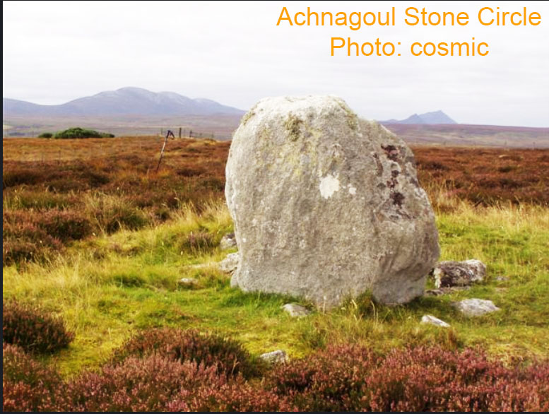
This solitary standing stone is one of the last survivors of what was once a stone circle. A few half buried stones reside nearby.
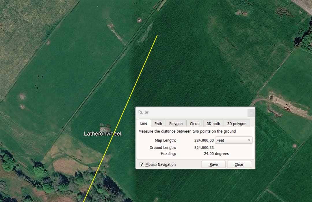
A leyline extends from the centre of Clava to Latheronwheel for 324000' @ 24°. This distance is 66⅔ Roman miles of 4860. It is also 303750 Pied du Roi or 30.375 ancient French Lieue. Simultaneously it is 166666.666666 Swedish Rydaholmsalm or 187500 Egyptian Royal Cubits of 20.736" (9.375 Atur). The distance is 1/403.2nd of the 130636800' equatorial circumference of the Earth.
Note: 4032' is 2/3rds of 1-minute of equatorial arc under the navigational system encoded into the base perimeter of the Great Pyramid @ 756'per side. There would be 216000 X 6048' (1-minute of equatorial arc) in the 130636800' (24883.2 Greek miles) equatorial circumference reading. The distance would also equate to 61⁵⁄₇ Greek miles of 5250'.
The degree angle of 24° is 1/15th of a 360° circle.
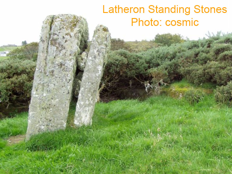
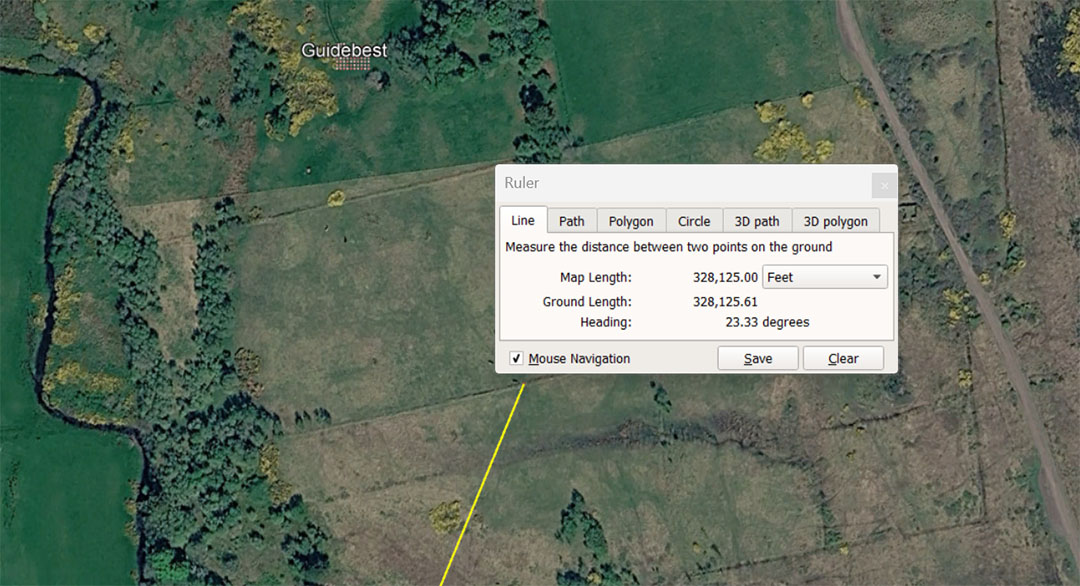
A leyline extends from Clava Cairns and resolves at the field-edge containing the Guidebest standing stone circle (one of the largest in the Scottish highlands). The distance from Clava is 328125' @ an angle of 23.3333333° . This distance is 62.5 Greek miles of 5250'. It is also 168750 Swedish Rydaholmsalm. or 67.5 Roman overland marching miles of 4861.11111' .
The ancient standard measurement of 32.8125" was extremely close in length to the "metre" concocted by the French around 1792 and is only 1/ 245th of an inch longer than the standard metre... beyond human acuity to detect. This length is 39.375" or 1.6875 (1¹¹⁄₁₆) overland Rydaholmsalm of 23.333333".'
The truth of the matter is that the French never needed to create a "metre" rule, as one already existed in ancient metrology that was far more accurate in measuring 1/1000000th of the Polar circumference of the Earth from the North Pole to the equator. All they needed to do was to divide that rule into 100 divisions.
A line extends from Clava Cairns centre for 336000' to Forse House Standing Stone Circle @ 24.3°. This distance is 50 ancient Irish miles of 6720'. It is also 64 Greek miles of 5250'. It is also 315000 Pied du Roi or 31.5 Lieue. This distance is 172800 Swedish Rydaholmsalm and 9.6 Swedish Mil. It is 55⁵⁄₉ minutes of equatorial arc under the 130636800' reading of the Earth's equatorial circumference and 1/388.8th of the equatorial circumference. There are 194.44444 Egyptian Royal Cubits of 1.728' in 336000' and 336000' = 9.7222222 Atur.
Forse House Standing Stone Circle, which had been plundered, wherein only about 4 of the original standing stones remain. Without knowing where the hubstone was, as well as all the outliers standing away from the hub at coded distances and angles, we can no longer decode the tutorials built into every position of the outliers. However, the site still acts as an overland trig position away from Clava Cairns.
A leyline extends from the centre of Clava Cairns for 352000' @ 28.35° to resolve at the side of the cemetery. The ancient Clyth Stone menhir Stands within the cemetery and a faint Pictish cross can still be seen incised into its side. This distance from Clava Cairns is 66⅔ miles of 5280'. This is also 330000 Pied du Roi or 33 ancient French Lieue (leagues).
The degree angle of 28.35° is in homage to 2835' (the perimeter value of the Khafre Pyramid of Egypt ... a pyramid of the moon). The sum of 2835-days would equate to 8 lunar years of 354.375-days. Also, 2835' = 34020" and the half value of the 6840-day Lunar Nutation Cycle is 3402-days.
The lady in this picture is pointing to the faint cross incised into the side of the Menhir. The stone itself was in place during the Pictish epoch and was probably erected as a surveying trig, associated with Clava Cairns as a distant outlier, in more remote antiquity.
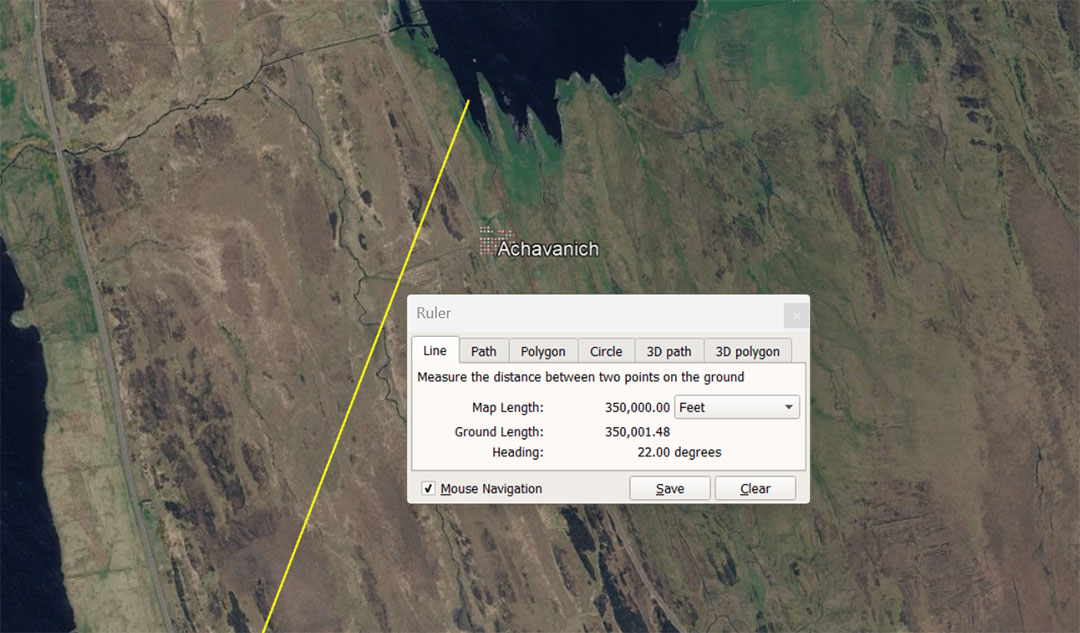
A leyline extends from the centre of Clava Cairns for 350000'@ 22° to the very impressive Achavanich stone rows. This distance is 66⅔ Greek miles of 5250'. It is also 72 Roman overland-marching miles of 4861.11111' and 180000 Swedish Rydaholmsalm of 1.9444444' (23.333333"). The distance equates also to 10 Swedish Mil of 35000' each.
The degree angle @ 22° is a multi-use number when computing distance in the "11" family of numbers and 22' is 1/240th of the 5280'mile.
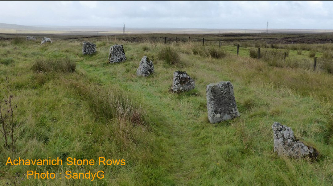
There were, apparently 54 stones originally, of which 34 remain. If the position of the hubstone could be identified, as well as the original positions of the former, now plundered stones, then the in-built codes of hubstone to outliers could, undoubtedly, be decoded. It's almost obligatory that features on horizon mountains were the outer markers of solstices or equinoxes sunrises and sets or both.
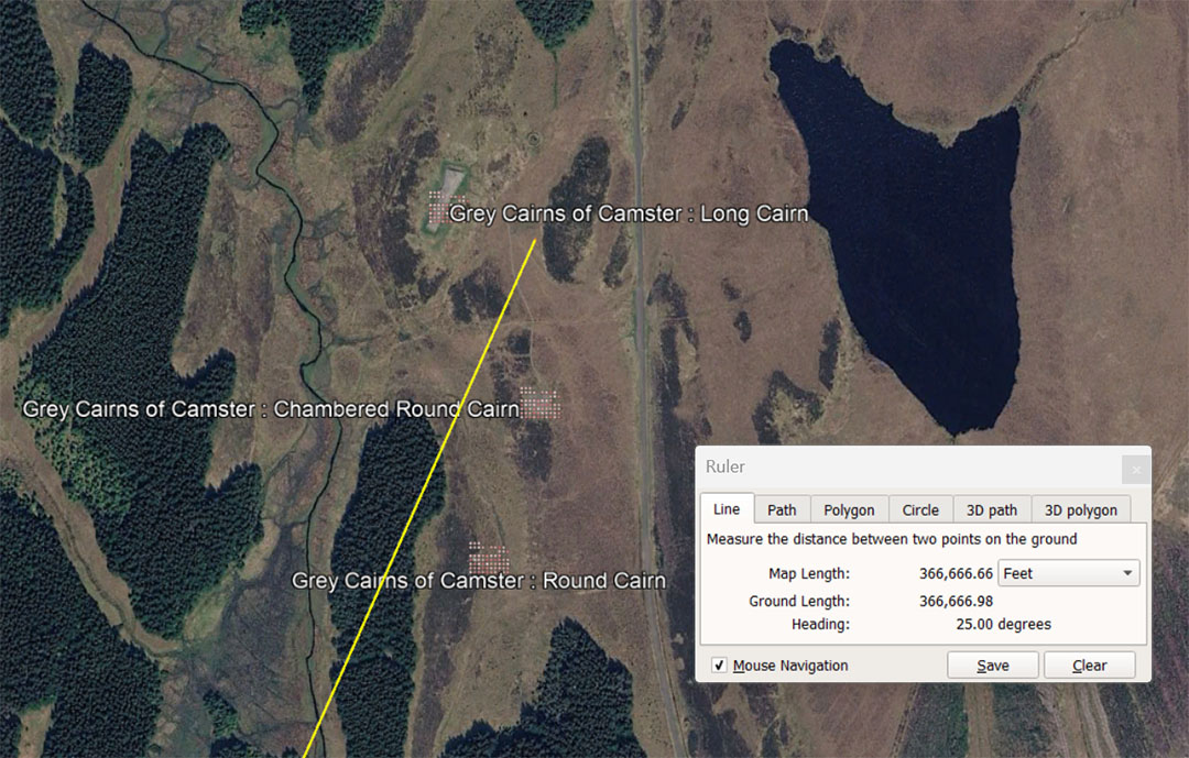
The line from Clava dissects through the close-knit structures on a degree angle of 25°, The distance from Clava Cairns is 366666.66666' or 343745 Pied du Roi or 34.375 Lieue. The distance of 366666.666666'is 1/356.4th of the 130680000'equatorial circumference of the Earth (24750-miles of 5280'). This distance would also be 213333.3333333 Egyptian Royal Cubits of 20.625".
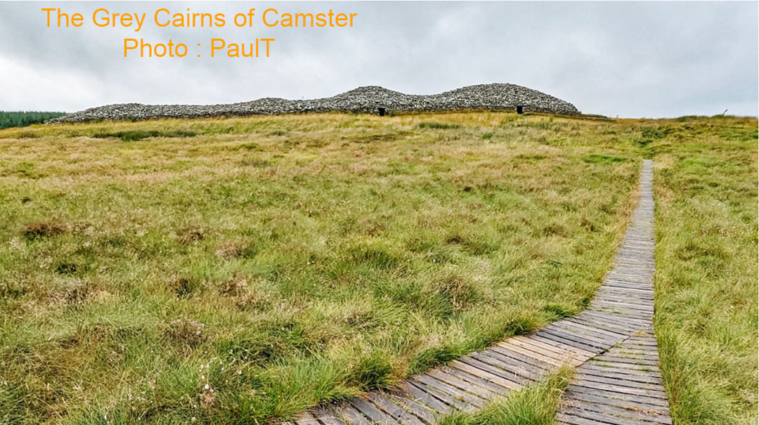
This is a horned cairn
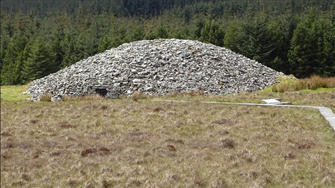
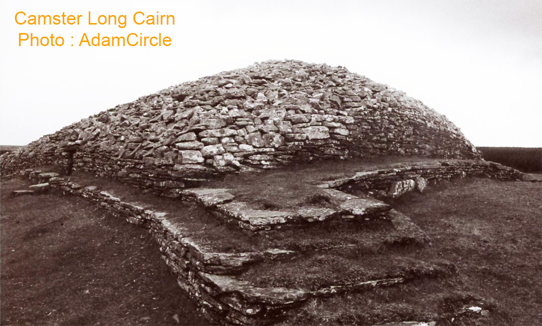
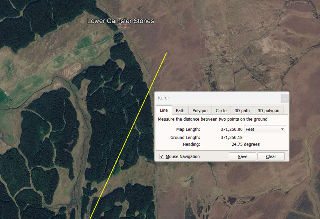
A leyline extends from Clava Cairns for 371250' @ 24.75° to the near vicinity of the Lower Camster standing stones. This distance is 62.5 ancient Scottish miles of 5940'. This distance is also 216000 of the midsize Egyptian Royal Cubit @ 20.625". It would also be 70⁵⁄₁₆ English miles of 5280.
The angle is also in homage to the "11" system of navigational increments like the ancient Scottish or English miles and 24750-miles of 5250' (130680000'of equatorial circumference) would also equate to '22000- Scottish miles of 5940'. The ancient Scottish miles was greater in length by 660' (one ancient furlong or furrowlong ... 10 chains).
This code-bearing distance from Clava Cairns (371250') is 1/352nd of the 130680000' equatorial circumference of the Earth under the "11" family of numbers navigational method. Note: 352' would be 1/15th of an English Mile and 1/16.875th of a Scottish mile.
One of the 3 surviving stones on this almost eradicated site.
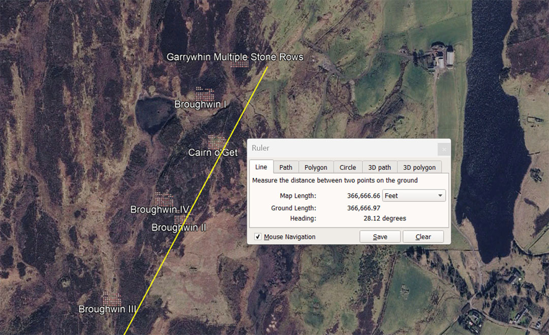
A leyline extends from Clava Cairns for 366666.66666' @ 28.125° and dissects the positions of a close-knit batch of sites, all of which could be accessed or found on this vector. The distance from Clava Cairns is 366666.66666' or 343745 Pied du Roi or 34.375 Lieue. The distance of 366666.66666' is 1/356.4th of the 130680000' equatorial circumference of the Earth (24750-miles of 5280'). This distance would also be 213333.3333333 Egyptian Royal Cubits of 20.625".
Broughwin III, Broughwin II, Broughwin IV and Broughwin I are all stone rows; Cairn o' Get is a chambered cairn and Garrywhin is a chambered cairn, with multiple stone rows emanating out from it. These separate stone rows, just like the standing stones circuiting each of the 3 Clava Cairns, would have a hubstone position for orienting towards each standing stone individually, ... for reading a code-bearing distance and angle.
The degree angle of 28.125° from Clava to these sites, placed in a mathematical progression string generates many very useful numbers used in ancient lunar-cycle, volume-capacities, grain-weight, etc., computations. For example, the value 2.8125 X 7 = 19.6875 (grains) which was the standard for measuring gold-dust ... and 1-Beqa of gold was 19.6875 grains (19¹¹⁄₁₆), used by the Egyptians, Greeks and Romans. Also 1/15th of the 29.53125-days lunar month is 1.96875-days (47.25-hours).
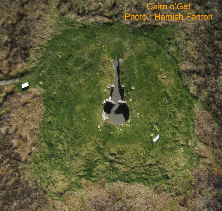
Amongst the multiple stone rows of the area was Cairn o' Get, where students of navigation could rest for the night in this dormitory, out of the elements. It appears that the array of measurable stone row components, with each stone a repository code bearing information, provided length and angle tutorials to the students. This is a short horned cairn.
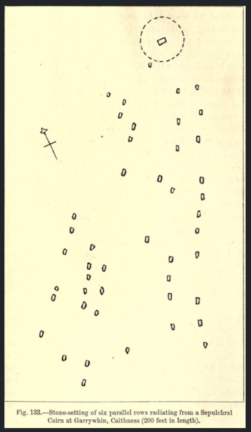
The Garrywhin stone rows. The Cairn, from which the stone rows fan out, would have acted as a dormitory for shelter and not as a sepulcher, as represented. If we could determine that the centre of the cairn was the designated hub, we could, with an accurate scale-bar, probably still decode the in-built codes of position in each outlier stone (provided the stones are still in their original, undisturbed positions).
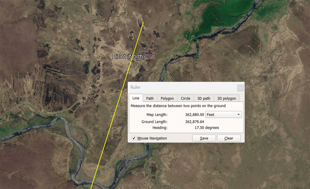
A leyline extends from the centre of Clava Cairns for 362880' @ 17.5°. This distance is 1-degree of equatorial arc of the Earth's circumference under the 12 X 12 X 12 X 12 X 1.2-miles (of 5250') navigational method. Therefore 130636800' ÷ 360° = 362880'. This distance would also have been read to mean 363000' and become 1-degree of equatorial arc in the circumference of the Earth under the 24750-miles of 5280' or 130680000' ÷ 360° = 363000'.
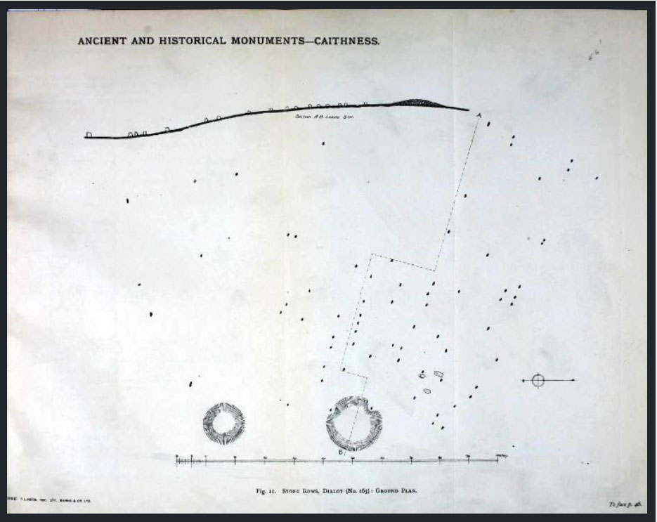
This map-plan of the Dirlot North stone rows site provides an accurate scale bar and the codes of position for the standing stone outliers, from the hub or hubs, should be decipherable.
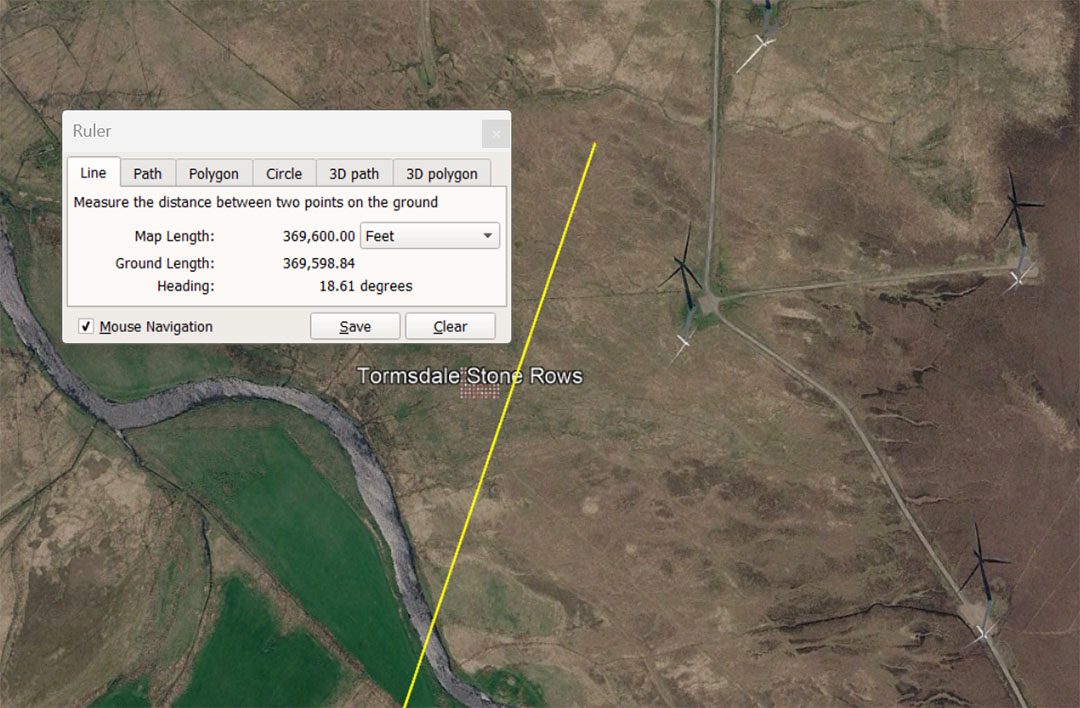
A leyline extends from Clava Cairns for 369600' @ 18.61° to the Tormsdale stone rows. The distance is 70-miles of 5280' or 62²⁄₉ Scottish miles of 5940'. This distance would also equate to 22.4 ancient English Leagues of 16500 'each (3.125-miles of 5280').
The degree angle of 18.61°, if intended, would relate to the 6804-day lunar nutation cycle, described, as such, in factorable numbers by ancient mathematician /astronomers. The actual cycle was 6798.36-days or 18.61-years.
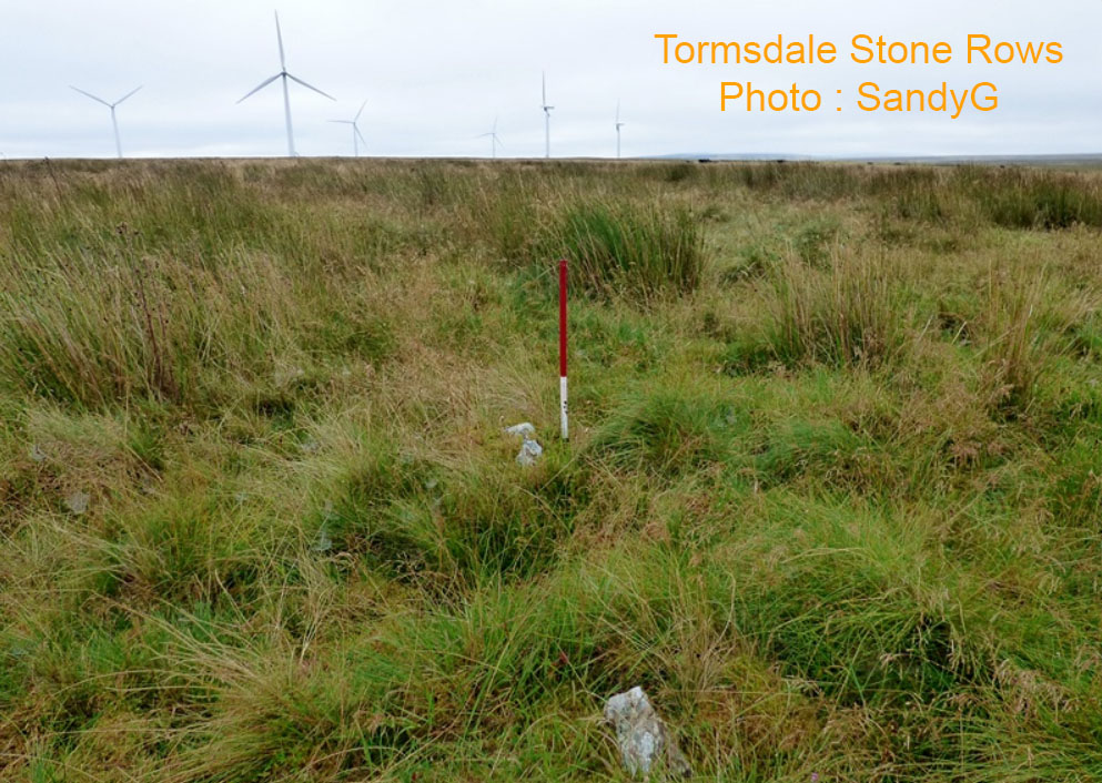
The stones in long rows are now hard to see. They nowadays share space with looming wind turbines.
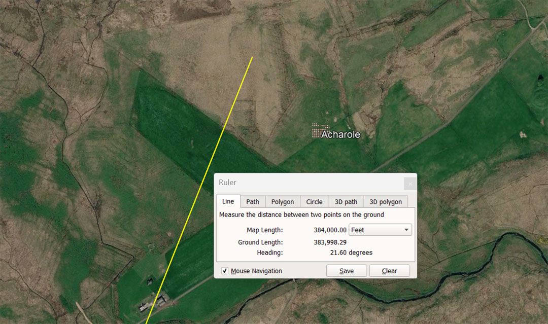
A line extends from the centre of Clava Cairns for 384000' @ 21.6° (return angle 201.6°) to Acharole standing stone circle. The distance is 360000 Pied du Roi of 1.0666666' (12.8") or 36 ancient French Lieue (leagues). It is also 11⅑ Egyptian Atur or 73⅐ miles of 5250'.
The angle produces dynamic codes in both directions and 2160-years is the length of time the sun dwells on each House of the Zodiac during the 25920-year cycle of the Precession of the Equinoxes. The return angle back to Clava Cairns is 201.6° and 2016' is 1/3rd of 1-minute of equatorial arc (6048') in the 130636800' Circumference of the Earth navigational assignment, literally encoded into the base dimensions of the Great Pyramid of Egypt.
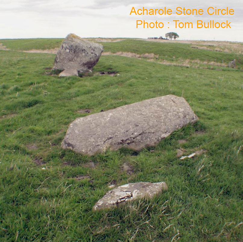
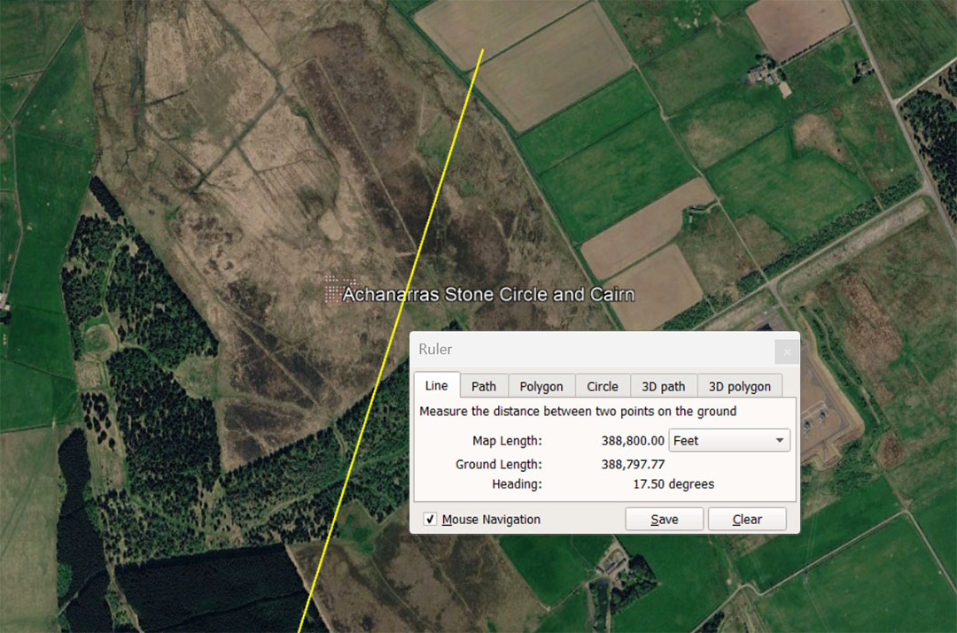
A line extends from the centre of Clava Cairns and runs for 388800' to Achanarras stone circle @ 17.5°. This distance is 80 Roman miles of 4860'. It is also 364500 Pied du Roi and 36.45 Lieue. This distance equates to 225000 Egyptian Royal Cubits of 20.736" or 11.25 Atur. Under the 24883.2-mile equatorial circumference of the Earth reading, 388.8-miles would be 1/64th of the circumference. This distance is also 200000 Swedish Rydaholmsalm (rendered as 1.944' or 1.9444444'). The same duality occurs with the Roman measurements, with miles being rendered as 4860' (11.664" X 5000) or overland marching miles being 4861.11111 (11.666.66666" X 5000). For this slightly longer reading at Achanarras the 388800' would be read as 388888.888888'.
The degree angle @ 17.5 is a multi-use number in ancient computations and 175' would equate to 1/30th of the 5250' Greek mile.
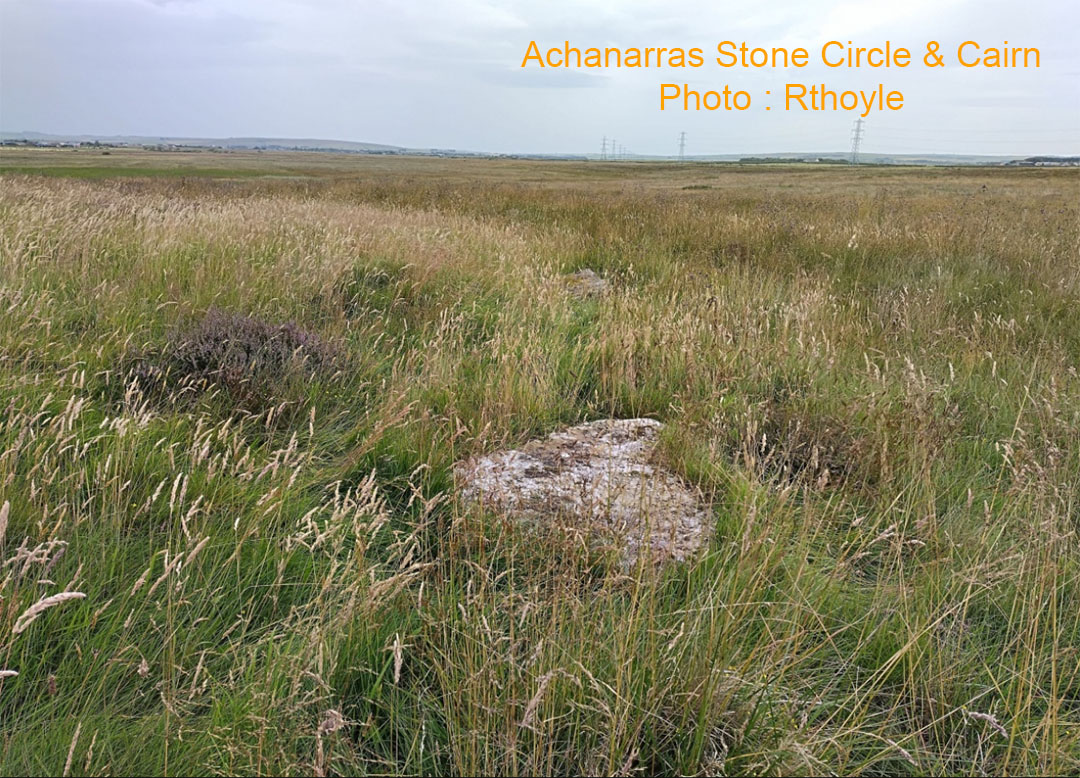
Stone 1 of the 5-stone Achanarras circle. Another semi-visible recumbent stone can be seen in the background.
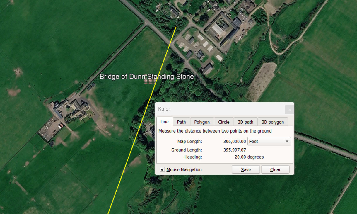
A line extends from the centre of Clava Cairns and runs for 396000' @ 20° to the ancient Bridge of Dunn standing stone. This distance is 75 English miles of 5280'. It is also 24 English leagues of 16500', as well as 66⅔ ancient Scottish miles of 5940'.
Under the navigational method, wherein the Earth was viewed as being 24750-miles of 5280' in equatorial circumference or 130680000', the sum of 396000' would be 1/330th division.
Also, under this system the Earth was viewed as having a diameter of 7920-miles and radius of 3960-miles. The PI ratio (3.1416 to 1) was also rendered in other very close approximations, depending on which number family was being used in a navigational computation. These other renditions of PI were 22/7ths; 1728/550ths, 3.15 and 3.125. Under the 24750-mile system 3.125 to 1 was used. Therefore 24750 ÷ 3.125 = 7920.
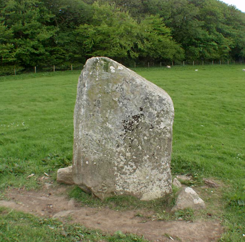
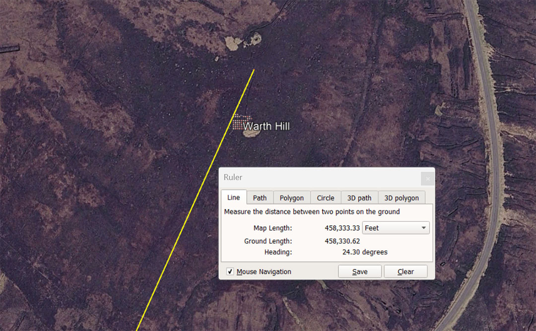
A line extends from the centre of Clava Cairns for 458333.33333' @ 24.3° to Warth Hill. This distance is a little more complex to explain and had to do with navigation (at sea) with legs of travel based upon the Greek mile of 5250'.
At the completion of a leg the distance covered had to be turned into a circle on the plotting chart or slate, divisible by 360-degrees for calculating angles back to the point of departure, then onwards to the destination (positional plotting or dead-reckoning).
The form of PI used for "6&7" family numbers like the 5250' Greek mile was 22/7ths. Therefore, 5250' X 3.142857143 = 16500' ÷ 360 = 45.83333333 or 550 " per degree of arc on the plotting circle.
The tutorial here at Warth hill is navigational for orienteers, striking-away from Clava Cairns on the basis of 52500' (10 Greek miles) X PI @ 22/7ths = 165000 ÷ 360 = 458.333333 X 12 = 5500".
The distance of 458333.33333' is 27⅞ English leagues of 16500' and 458.33333' would be 1/36th of a league of 16500'. There would be 11.52 X 458.33333' in a mile of 5280' and 12.96 in a Scottish mile of 5940'. Also, there would be 1.44 in a furlong of 660'.
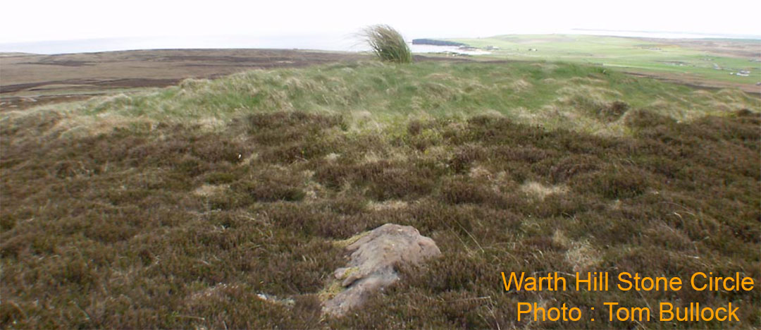
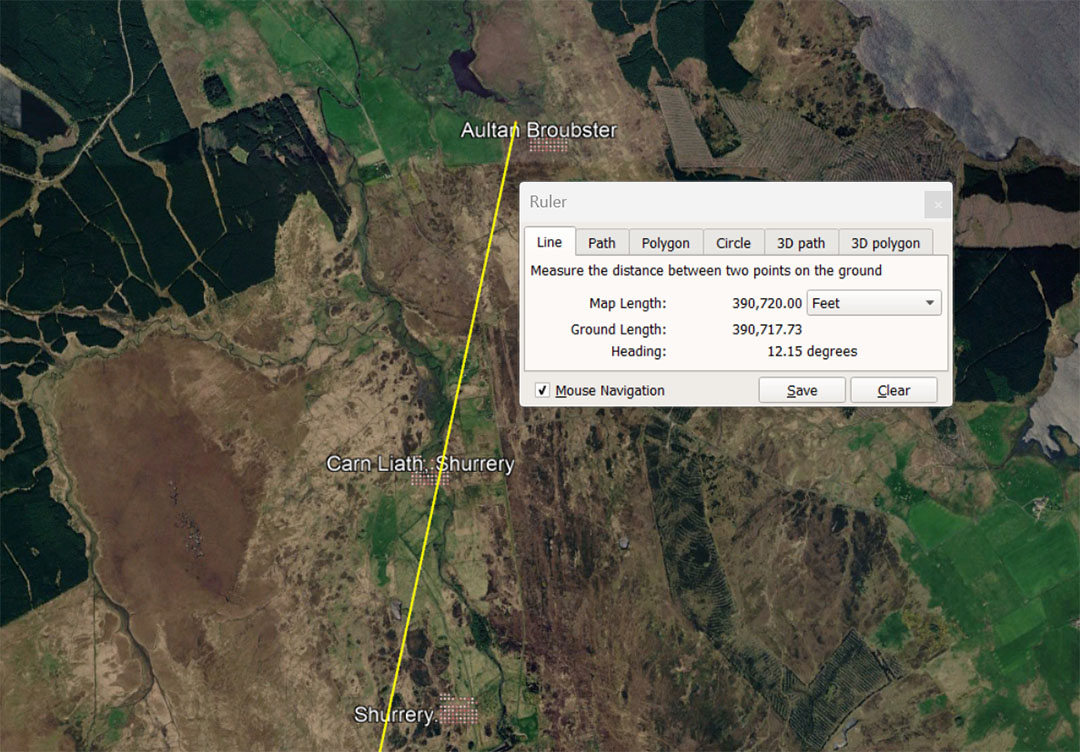
A line extends from the centre of Clava Cairns for 390720' @ 12.15° to Aultan Broubster Stone Circle. This distance is 74-miles of 5280' or could be dual read as 23.625 .English Leagues of 16500'. It is also 65⁷⁄₉ ancient Scottish miles of 5940'. The line also dissects Carn Laith Shurrery or brushes past close to Shurrery.
The degree angle, in a mathematical progression, generates lunar codes and the ancient Greek Samos foot was 12.15".
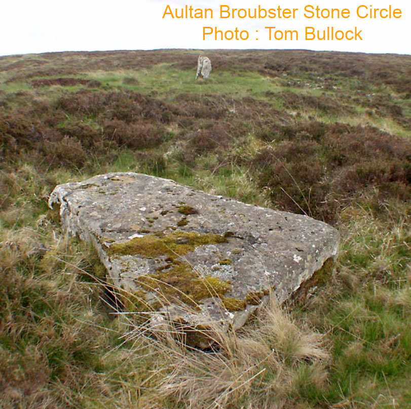
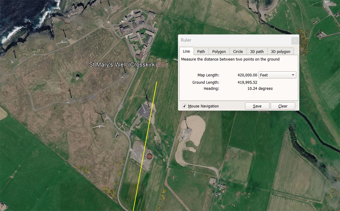
A line extends from the centre of Clava Cairns for 420000' @ 102.4° to St Mary's Well (Crosskirk), an ancient settlement of the Northern coast of Scotland with a long, rich history of Pictish and more ancient occupation. The distance is 80 miles of 5280' or 393750 Pied du Roi, equating to 39.375 ancient French Lieue. It is also 216000 ancient Swedish Rydaholmsalm or 12 Swedish miles.
The degree angle of 10.24° is code-bearing and 102.4-miles would be 1/243rd of the equatorial circumference of the Earth under the 24883.2- mile reading.
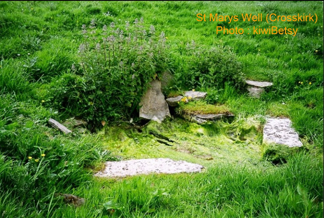
St Mary's Well, just like nearby St Mary's Chapel (built circa 11th century) and graveyard are now long abandoned and in a state of ruin, along with two ancient brochs that have crumbled as rubble into the sea.
The ruins of St Mary's Chapel behind the graveyard wall. The nearby area had brochs and Pictish stones have been found at this location.
So, we've now arrived at about the most extreme reaches of Scotland's northern coast and it might be reasonable to stop our journey here.
There are many more sites yet further west that we could test for distance and angle codes away from the hub at Clava Cairns. However this sample of over 100 sites should show that the positions of Chambered Cairns and Brochs for shelter, Standing Stone Circles or Stone Rows for extraction of code-bearing distance and angle tutorials, single tall Menhirs that acted as trigs on the landscape or dug Wells for liquid refreshment, were all purpose placed surveying positions.
All the sites mentioned, and many more going unmentioned, were part of a vast open air university for teaching the "brightest and the best" (the few set aside to bless the many) the principles of navigation ... something that had to be learnt over years of grueling out-and-about orienteering and memorising of special numbers that made the concept of abundant civilisation possible.
Maybe a couple of "Horned Cairns" for good measure:
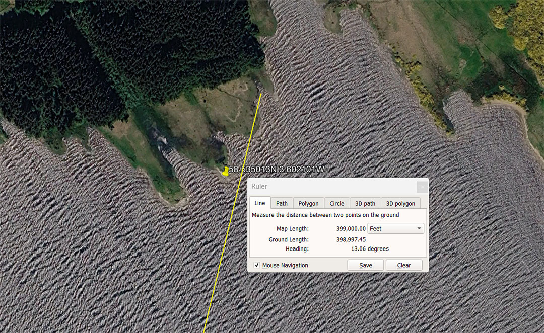
This horned cairn sits 76-Greek miles from Clava @ an intended code of 13.06368° ... inferring 130636800' of equatorial circumference. At the same time the other number 130680000' for the equatorial circumference would also have been committed to memory.
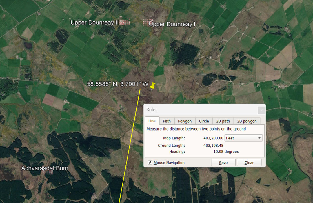
Hill of Shebster cluster of 7 horned Cairns that are 5000-years old situated 403200' from Clava Cairns centre @ 10.08°, This distance is 76.8 Greek miles and also 66⅔ minutes of arc . The sum of 100.8' is 1-second of equatorial arc under the Great Pyramid's literal base-dimensions of 756' for a world configured to be, using highly factorable numbers, 130636800' or 24883.2 Greek miles of 5250'.
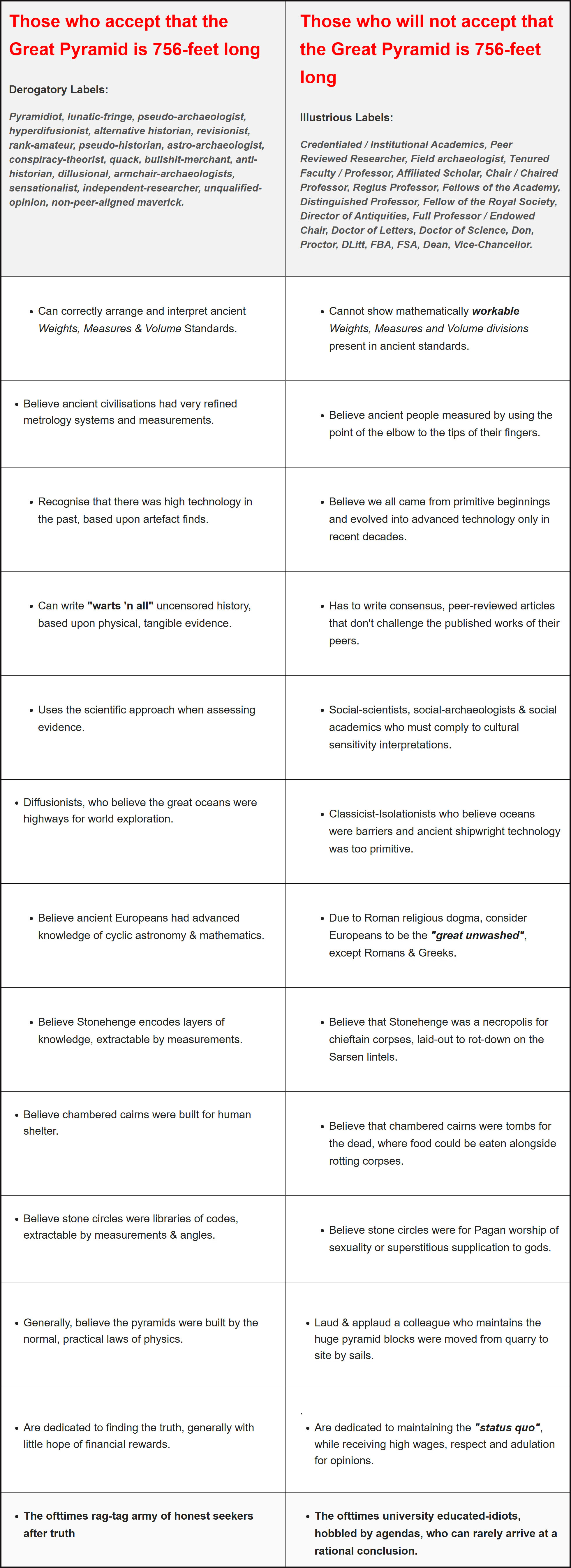
The author wishes to thank all the modern-day orienteers who have ranged far and wide across the Scottish Highlands, taking photos and sharing them with the worldwide research community.
Also, I am very grateful for the excellent website contents of The Megalithic Portal & Megalithomania, along with The Modern Antiquarian &, of course, Google Earth.
Martin Doutré, Auckland, New Zealand ©
8th of October 2026
Martin Doutré, Auckland, New Zealand © 8th of October 2026